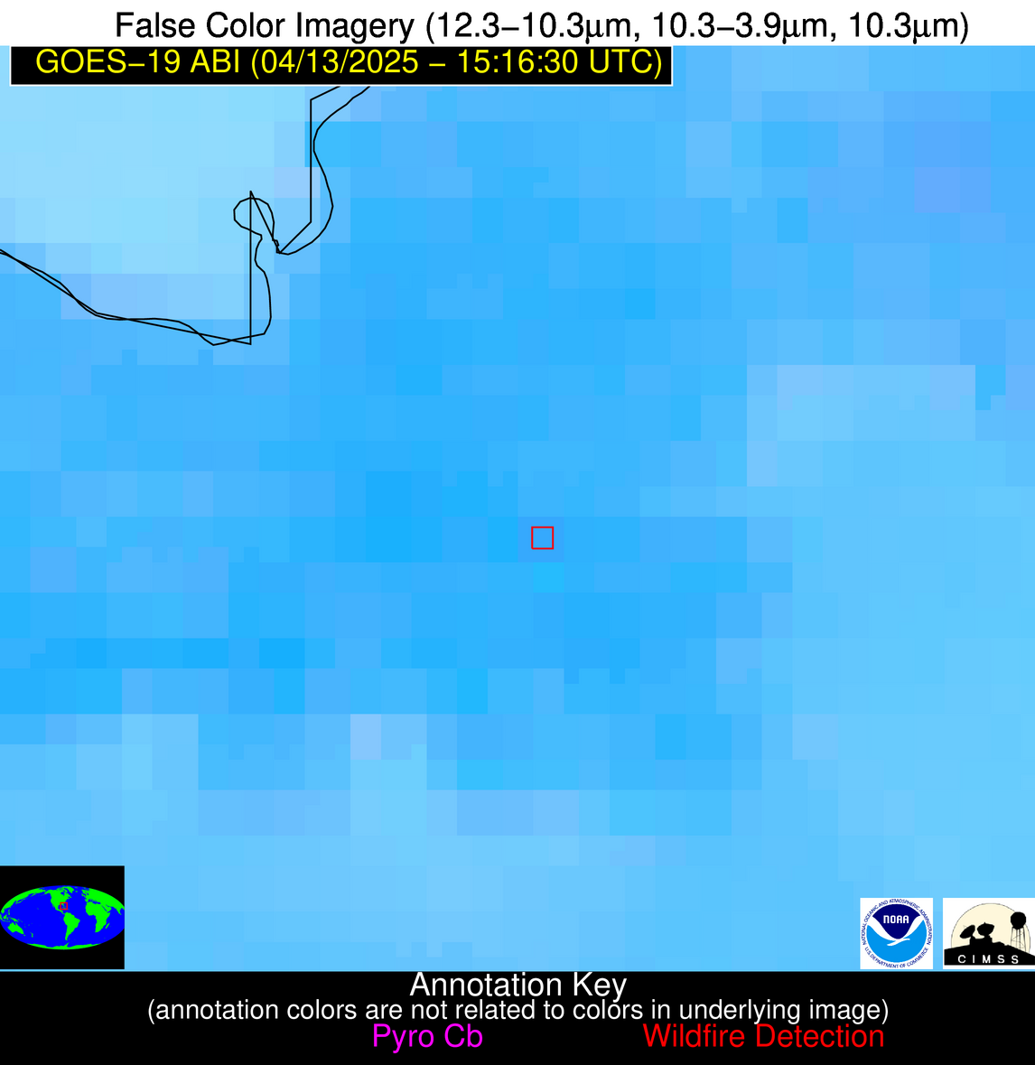
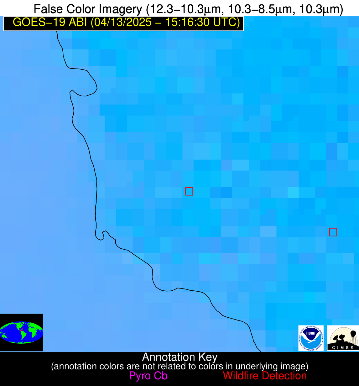
Wildfire Alert Report
| Date: | 2025-04-13 |
|---|---|
| Time: | 15:16:17 |
| Production Date and Time: | 2025-04-13 15:21:07 UTC |
| Primary Instrument: | GOES-19 ABI |
| Wmo Spacecraft Id: | 666 |
| Location/orbit: | GEO |
| L1 File: | OR_ABI-L1b-RadC-M6C14_G19_s20251031516179_e20251031518552_c20251031519051.nc |
| L1 File(s) - Temporal | OR_ABI-L1b-RadC-M6C14_G19_s20251031511179_e20251031513552_c20251031514055.nc |
| Number Of Thermal Anomaly Alerts: | 5 |
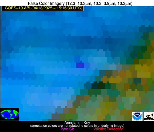
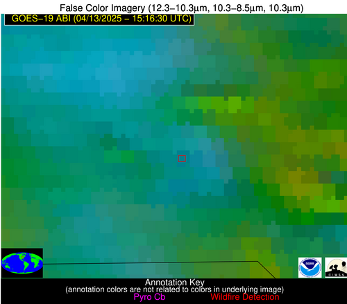
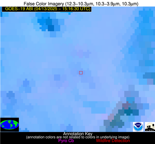
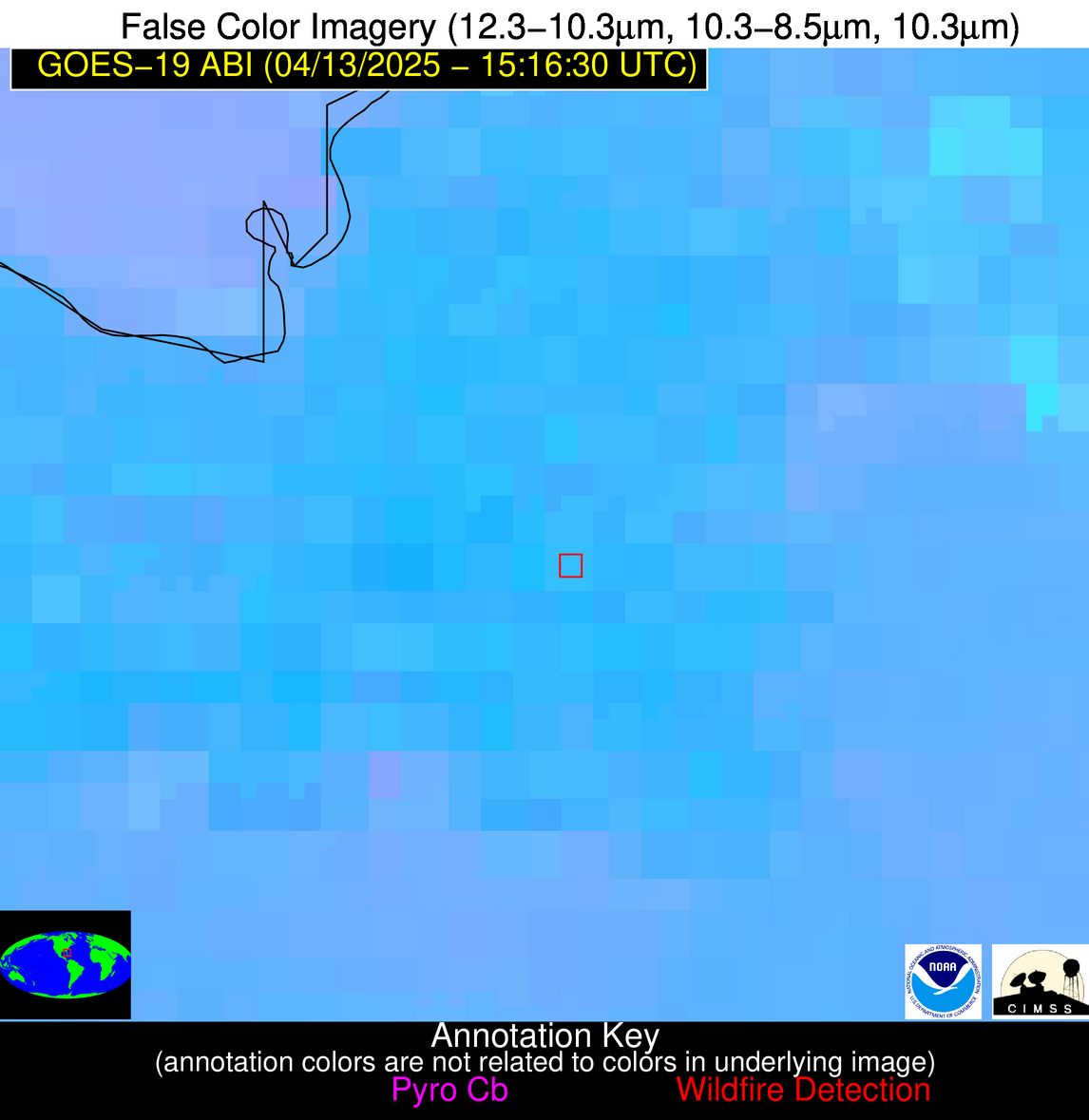
Possible Wildfire
| Basic Information | |
|---|---|
| State/Province(s) | IA |
| Country/Countries | United States |
| County/Locality(s) | Monona County, IA |
| NWS WFO | Omaha/Valley NE |
| Identification Method | Enhanced Contextual (Cloud) |
| Mean Object Date/Time | 2025-04-13 15:16:50UTC |
| Radiative Center (Lat, Lon): | 42.004166°, -95.748337° |
| Nearby Counties (meeting alert criteria): |
|
| Total Radiative Power Anomaly | n/a |
| Total Radiative Power | 53.84 MW |
| Map: | |
| Additional Information | |
| Alert Status | New Feature |
| Type of Event | Nominal Risk |
| Event Priority Ranking | 4 |
| Maximum Observed BT (3.9 um) | 308.88 K |
| Observed - Background BT (3.9 um) | 11.74 K |
| BT Anomaly (3.9 um) | 6.03 K |
| Maximum Observed - Clear RTM BT (3.9 um) | 18.01 K |
| Maximum Observed BTD (3.9-10/11/12 um) | 26.30 K |
| Observed - Background BTD (3.9-10/11/12 um) | 11.86 K |
| BTD Anomaly (3.9-10/11/12 um) | 8.02 K |
| Similar Pixel Count | 0 |
| BT Time Tendency (3.9 um) | 6.30 K |
| Image Interval | 5.00 minutes |
| Fraction of Surrounding LWIR Pixels that are Colder | 0.89 |
| Fraction of Surrounding Red Channel Pixels that are Brighter | 0.96 |
| Maximum Radiative Power | 53.84 MW |
| Maximum Radiative Power Uncertainty | 0.00 MW |
| Total Radiative Power Uncertainty | 0.00 MW |
| Mean Viewing Angle | 53.10° |
| Mean Solar Zenith Angle | 52.80° |
| Mean Glint Angle | 99.00° |
| Water Fraction | 0.00 |
| Total Pixel Area | 6.70 km2 |
| Latest Satellite Imagery: | |
| View all event imagery » | |
Possible Wildfire
| Basic Information | |
|---|---|
| State/Province(s) | IA |
| Country/Countries | United States |
| County/Locality(s) | Van Buren County, IA |
| NWS WFO | Quad Cities IL |
| Identification Method | Enhanced Contextual (Cloud) |
| Mean Object Date/Time | 2025-04-13 15:16:51UTC |
| Radiative Center (Lat, Lon): | 40.806946°, -91.880280° |
| Nearby Counties (meeting alert criteria): |
|
| Total Radiative Power Anomaly | n/a |
| Total Radiative Power | 341.89 MW |
| Map: | |
| Additional Information | |
| Alert Status | New Feature |
| Type of Event | Nominal Risk |
| Event Priority Ranking | 4 |
| Maximum Observed BT (3.9 um) | 316.47 K |
| Observed - Background BT (3.9 um) | 32.99 K |
| BT Anomaly (3.9 um) | 11.33 K |
| Maximum Observed - Clear RTM BT (3.9 um) | 29.90 K |
| Maximum Observed BTD (3.9-10/11/12 um) | 50.74 K |
| Observed - Background BTD (3.9-10/11/12 um) | 31.86 K |
| BTD Anomaly (3.9-10/11/12 um) | 17.97 K |
| Similar Pixel Count | 0 |
| BT Time Tendency (3.9 um) | 43.00 K |
| Image Interval | 5.00 minutes |
| Fraction of Surrounding LWIR Pixels that are Colder | 0.80 |
| Fraction of Surrounding Red Channel Pixels that are Brighter | 1.00 |
| Maximum Radiative Power | 189.38 MW |
| Maximum Radiative Power Uncertainty | 0.00 MW |
| Total Radiative Power Uncertainty | 0.00 MW |
| Mean Viewing Angle | 50.50° |
| Mean Solar Zenith Angle | 49.70° |
| Mean Glint Angle | 93.20° |
| Water Fraction | 0.00 |
| Total Pixel Area | 12.60 km2 |
| Latest Satellite Imagery: | |
| View all event imagery » | |
Possible Wildfire
| Basic Information | |
|---|---|
| State/Province(s) | OK |
| Country/Countries | United States |
| County/Locality(s) | Dewey County, OK |
| NWS WFO | Norman OK |
| Identification Method | Enhanced Contextual (Clear) |
| Mean Object Date/Time | 2025-04-13 15:17:20UTC |
| Radiative Center (Lat, Lon): | 35.918610°, -99.320000° |
| Nearby Counties (meeting alert criteria): |
|
| Total Radiative Power Anomaly | n/a |
| Total Radiative Power | 11.17 MW |
| Map: | |
| Additional Information | |
| Alert Status | New Feature |
| Type of Event | Oil/gas |
| Event Priority Ranking | 5 |
| Maximum Observed BT (3.9 um) | 307.06 K |
| Observed - Background BT (3.9 um) | 3.31 K |
| BT Anomaly (3.9 um) | 2.94 K |
| Maximum Observed - Clear RTM BT (3.9 um) | 10.80 K |
| Maximum Observed BTD (3.9-10/11/12 um) | 8.96 K |
| Observed - Background BTD (3.9-10/11/12 um) | 2.63 K |
| BTD Anomaly (3.9-10/11/12 um) | 4.82 K |
| Similar Pixel Count | 24 |
| BT Time Tendency (3.9 um) | 0.90 K |
| Image Interval | 5.00 minutes |
| Fraction of Surrounding LWIR Pixels that are Colder | 0.80 |
| Fraction of Surrounding Red Channel Pixels that are Brighter | 1.00 |
| Maximum Radiative Power | 11.17 MW |
| Maximum Radiative Power Uncertainty | 0.00 MW |
| Total Radiative Power Uncertainty | 0.00 MW |
| Mean Viewing Angle | 49.10° |
| Mean Solar Zenith Angle | 53.20° |
| Mean Glint Angle | 96.10° |
| Water Fraction | 0.00 |
| Total Pixel Area | 6.10 km2 |
| Latest Satellite Imagery: | |
| View all event imagery » | |
Possible Wildfire
| Basic Information | |
|---|---|
| State/Province(s) | FL |
| Country/Countries | United States |
| County/Locality(s) | Palm Beach County, FL |
| NWS WFO | Miami FL |
| Identification Method | Enhanced Contextual (Clear) |
| Mean Object Date/Time | 2025-04-13 15:17:52UTC |
| Radiative Center (Lat, Lon): | 26.576666°, -80.573334° |
| Nearby Counties (meeting alert criteria): |
|
| Total Radiative Power Anomaly | n/a |
| Total Radiative Power | 4.34 MW |
| Map: | |
| Additional Information | |
| Alert Status | New Feature |
| Type of Event | Nominal Risk |
| Event Priority Ranking | 4 |
| Maximum Observed BT (3.9 um) | 312.89 K |
| Observed - Background BT (3.9 um) | 2.03 K |
| BT Anomaly (3.9 um) | 1.36 K |
| Maximum Observed - Clear RTM BT (3.9 um) | 16.18 K |
| Maximum Observed BTD (3.9-10/11/12 um) | 10.31 K |
| Observed - Background BTD (3.9-10/11/12 um) | 1.40 K |
| BTD Anomaly (3.9-10/11/12 um) | 2.51 K |
| Similar Pixel Count | 25 |
| BT Time Tendency (3.9 um) | 0.80 K |
| Image Interval | 5.00 minutes |
| Fraction of Surrounding LWIR Pixels that are Colder | 0.85 |
| Fraction of Surrounding Red Channel Pixels that are Brighter | 1.00 |
| Maximum Radiative Power | 4.34 MW |
| Maximum Radiative Power Uncertainty | 0.00 MW |
| Total Radiative Power Uncertainty | 0.00 MW |
| Mean Viewing Angle | 31.80° |
| Mean Solar Zenith Angle | 34.90° |
| Mean Glint Angle | 58.90° |
| Water Fraction | 0.00 |
| Total Pixel Area | 4.70 km2 |
| Latest Satellite Imagery: | |
| View all event imagery » | |
Possible Wildfire
| Basic Information | |
|---|---|
| State/Province(s) | Unknown |
| Country/Countries | Cuba |
| County/Locality(s) | Unknown, Unknown |
| NWS WFO | N/A |
| Identification Method | Enhanced Contextual (Clear) |
| Mean Object Date/Time | 2025-04-13 15:18:22UTC |
| Radiative Center (Lat, Lon): | 21.101944°, -78.356667° |
| Nearby Counties (meeting alert criteria): |
|
| Total Radiative Power Anomaly | n/a |
| Total Radiative Power | 11.59 MW |
| Map: | |
| Additional Information | |
| Alert Status | New Feature |
| Type of Event | Nominal Risk |
| Event Priority Ranking | 4 |
| Maximum Observed BT (3.9 um) | 312.40 K |
| Observed - Background BT (3.9 um) | 5.15 K |
| BT Anomaly (3.9 um) | 2.08 K |
| Maximum Observed - Clear RTM BT (3.9 um) | 9.43 K |
| Maximum Observed BTD (3.9-10/11/12 um) | 15.61 K |
| Observed - Background BTD (3.9-10/11/12 um) | 4.92 K |
| BTD Anomaly (3.9-10/11/12 um) | 2.55 K |
| Similar Pixel Count | 20 |
| BT Time Tendency (3.9 um) | 3.20 K |
| Image Interval | 5.00 minutes |
| Fraction of Surrounding LWIR Pixels that are Colder | 0.67 |
| Fraction of Surrounding Red Channel Pixels that are Brighter | 0.56 |
| Maximum Radiative Power | 11.59 MW |
| Maximum Radiative Power Uncertainty | 0.00 MW |
| Total Radiative Power Uncertainty | 0.00 MW |
| Mean Viewing Angle | 25.10° |
| Mean Solar Zenith Angle | 30.90° |
| Mean Glint Angle | 47.60° |
| Water Fraction | 0.00 |
| Total Pixel Area | 4.40 km2 |
| Latest Satellite Imagery: | |
| View all event imagery » | |

