Wildfire Alert Report
| Date: | 2025-04-13 |
|---|---|
| Time: | 03:02:55 |
| Production Date and Time: | 2025-04-13 03:03:35 UTC |
| Primary Instrument: | GOES-19 ABI |
| Wmo Spacecraft Id: | 666 |
| Location/orbit: | GEO |
| L1 File: | OR_ABI-L1b-RadM2-M6C14_G19_s20251030302557_e20251030303015_c20251030303072.nc |
| L1 File(s) - Temporal | OR_ABI-L1b-RadM2-M6C14_G19_s20251030301557_e20251030302015_c20251030302072.nc |
| Number Of Thermal Anomaly Alerts: | 3 |
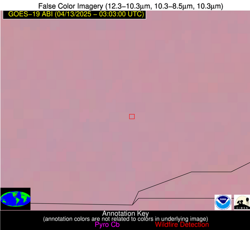
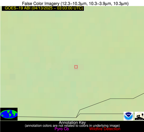
Possible Wildfire
| Basic Information | |
|---|---|
| State/Province(s) | KY |
| Country/Countries | United States |
| County/Locality(s) | Bell County, KY |
| NWS WFO | Jackson KY |
| Identification Method | Enhanced Contextual (Clear) |
| Mean Object Date/Time | 2025-04-13 03:03:01UTC |
| Radiative Center (Lat, Lon): | 36.807499°, -83.683891° |
| Nearby Counties (meeting alert criteria): |
|
| Total Radiative Power Anomaly | n/a |
| Total Radiative Power | 2.89 MW |
| Map: | |
| Additional Information | |
| Alert Status | New Feature |
| Type of Event | Nominal Risk |
| Event Priority Ranking | 4 |
| Maximum Observed BT (3.9 um) | 277.82 K |
| Observed - Background BT (3.9 um) | 2.64 K |
| BT Anomaly (3.9 um) | 10.73 K |
| Maximum Observed - Clear RTM BT (3.9 um) | 4.35 K |
| Maximum Observed BTD (3.9-10/11/12 um) | 2.29 K |
| Observed - Background BTD (3.9-10/11/12 um) | 2.37 K |
| BTD Anomaly (3.9-10/11/12 um) | 18.24 K |
| Similar Pixel Count | 1 |
| BT Time Tendency (3.9 um) | 0.10 K |
| Image Interval | 1.00 minutes |
| Fraction of Surrounding LWIR Pixels that are Colder | 0.78 |
| Fraction of Surrounding Red Channel Pixels that are Brighter | 1.00 |
| Maximum Radiative Power | 2.89 MW |
| Maximum Radiative Power Uncertainty | 0.00 MW |
| Total Radiative Power Uncertainty | 0.00 MW |
| Mean Viewing Angle | 43.80° |
| Mean Solar Zenith Angle | 122.10° |
| Mean Glint Angle | 83.50° |
| Water Fraction | 0.00 |
| Total Pixel Area | 5.50 km2 |
| Latest Satellite Imagery: | |
| View all event imagery » | |
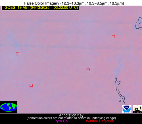
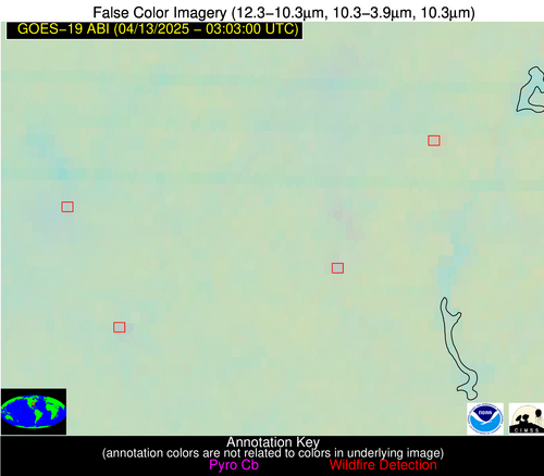
Possible Wildfire
| Basic Information | |
|---|---|
| State/Province(s) | AL |
| Country/Countries | United States |
| County/Locality(s) | Shelby County, AL |
| NWS WFO | Birmingham AL |
| Identification Method | Enhanced Contextual (Clear) |
| Mean Object Date/Time | 2025-04-13 03:03:00UTC |
| Radiative Center (Lat, Lon): | 33.373890°, -86.546669° |
| Nearby Counties (meeting alert criteria): |
|
| Total Radiative Power Anomaly | n/a |
| Total Radiative Power | 2.86 MW |
| Map: | |
| Additional Information | |
| Alert Status | New Feature |
| Type of Event | Nominal Risk |
| Event Priority Ranking | 4 |
| Maximum Observed BT (3.9 um) | 281.30 K |
| Observed - Background BT (3.9 um) | 1.20 K |
| BT Anomaly (3.9 um) | 1.45 K |
| Maximum Observed - Clear RTM BT (3.9 um) | 2.81 K |
| Maximum Observed BTD (3.9-10/11/12 um) | 2.16 K |
| Observed - Background BTD (3.9-10/11/12 um) | 1.96 K |
| BTD Anomaly (3.9-10/11/12 um) | 8.62 K |
| Similar Pixel Count | 1 |
| BT Time Tendency (3.9 um) | 0.20 K |
| Image Interval | 1.00 minutes |
| Fraction of Surrounding LWIR Pixels that are Colder | 0.14 |
| Fraction of Surrounding Red Channel Pixels that are Brighter | 1.00 |
| Maximum Radiative Power | 2.86 MW |
| Maximum Radiative Power Uncertainty | 0.00 MW |
| Total Radiative Power Uncertainty | 0.00 MW |
| Mean Viewing Angle | 40.90° |
| Mean Solar Zenith Angle | 122.70° |
| Mean Glint Angle | 86.10° |
| Water Fraction | 0.00 |
| Total Pixel Area | 5.30 km2 |
| Latest Satellite Imagery: | |
| View all event imagery » | |
Possible Wildfire
| Basic Information | |
|---|---|
| State/Province(s) | AL |
| Country/Countries | United States |
| County/Locality(s) | Bibb County, AL |
| NWS WFO | Birmingham AL |
| Identification Method | Enhanced Contextual (Clear) |
| Mean Object Date/Time | 2025-04-13 03:03:00UTC |
| Radiative Center (Lat, Lon): | 32.961113°, -87.374725° |
| Nearby Counties (meeting alert criteria): |
|
| Total Radiative Power Anomaly | n/a |
| Total Radiative Power | 3.75 MW |
| Map: | |
| Additional Information | |
| Alert Status | New Feature |
| Type of Event | Nominal Risk |
| Event Priority Ranking | 4 |
| Maximum Observed BT (3.9 um) | 283.48 K |
| Observed - Background BT (3.9 um) | 3.00 K |
| BT Anomaly (3.9 um) | 5.22 K |
| Maximum Observed - Clear RTM BT (3.9 um) | 3.53 K |
| Maximum Observed BTD (3.9-10/11/12 um) | 2.73 K |
| Observed - Background BTD (3.9-10/11/12 um) | 2.59 K |
| BTD Anomaly (3.9-10/11/12 um) | 19.88 K |
| Similar Pixel Count | 2 |
| BT Time Tendency (3.9 um) | 0.10 K |
| Image Interval | 1.00 minutes |
| Fraction of Surrounding LWIR Pixels that are Colder | 0.75 |
| Fraction of Surrounding Red Channel Pixels that are Brighter | 1.00 |
| Maximum Radiative Power | 3.75 MW |
| Maximum Radiative Power Uncertainty | 0.00 MW |
| Total Radiative Power Uncertainty | 0.00 MW |
| Mean Viewing Angle | 40.70° |
| Mean Solar Zenith Angle | 122.40° |
| Mean Glint Angle | 85.80° |
| Water Fraction | 0.00 |
| Total Pixel Area | 5.30 km2 |
| Latest Satellite Imagery: | |
| View all event imagery » | |


