Wildfire Alert Report
| Date: | 2025-04-10 |
|---|---|
| Time: | 18:17:55 |
| Production Date and Time: | 2025-04-10 18:19:27 UTC |
| Primary Instrument: | GOES-19 ABI |
| Wmo Spacecraft Id: | 666 |
| Location/orbit: | GEO |
| L1 File: | OR_ABI-L1b-RadM2-M6C14_G19_s20251001817555_e20251001818013_c20251001818069.nc |
| L1 File(s) - Temporal | OR_ABI-L1b-RadM2-M6C14_G19_s20251001816555_e20251001817012_c20251001817075.nc |
| Number Of Thermal Anomaly Alerts: | 1 |
Possible Wildfire
| Basic Information | |
|---|---|
| State/Province(s) | MT |
| Country/Countries | United States |
| County/Locality(s) | Sweet Grass County, MT |
| NWS WFO | Billings MT |
| Identification Method | Enhanced Contextual (Clear) |
| Mean Object Date/Time | 2025-04-10 18:17:56UTC |
| Radiative Center (Lat, Lon): | 45.718887°, -109.597778° |
| Nearby Counties (meeting alert criteria): |
|
| Total Radiative Power Anomaly | n/a |
| Total Radiative Power | 28.96 MW |
| Map: | |
| Additional Information | |
| Alert Status | New Feature |
| Type of Event | Nominal Risk |
| Event Priority Ranking | 4 |
| Maximum Observed BT (3.9 um) | 307.03 K |
| Observed - Background BT (3.9 um) | 4.21 K |
| BT Anomaly (3.9 um) | 3.44 K |
| Maximum Observed - Clear RTM BT (3.9 um) | 14.44 K |
| Maximum Observed BTD (3.9-10/11/12 um) | 13.67 K |
| Observed - Background BTD (3.9-10/11/12 um) | 4.91 K |
| BTD Anomaly (3.9-10/11/12 um) | 8.06 K |
| Similar Pixel Count | 7 |
| BT Time Tendency (3.9 um) | 1.20 K |
| Image Interval | 1.00 minutes |
| Fraction of Surrounding LWIR Pixels that are Colder | 0.37 |
| Fraction of Surrounding Red Channel Pixels that are Brighter | 1.00 |
| Maximum Radiative Power | 28.96 MW |
| Maximum Radiative Power Uncertainty | 0.00 MW |
| Total Radiative Power Uncertainty | 0.00 MW |
| Mean Viewing Angle | 62.90° |
| Mean Solar Zenith Angle | 40.40° |
| Mean Glint Angle | 101.40° |
| Water Fraction | 0.00 |
| Total Pixel Area | 8.80 km2 |
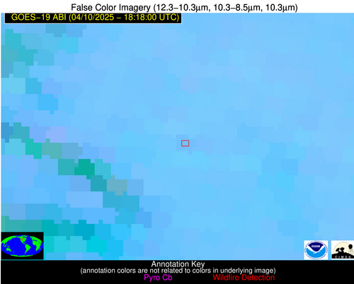
| Latest Satellite Imagery: | |
| View all event imagery » | |


