10 Jan 2026: Notice to users: ongoing data center construction may unexpectedly interrupt NGFS product generation.
Wildfire Alert Report
| Date: | 2025-04-09 |
|---|---|
| Time: | 23:11:17 |
| Production Date and Time: | 2025-04-09 23:16:19 UTC |
| Primary Instrument: | GOES-19 ABI |
| Wmo Spacecraft Id: | 666 |
| Location/orbit: | GEO |
| L1 File: | OR_ABI-L1b-RadC-M6C14_G19_s20250992311176_e20250992313549_c20250992314030.nc |
| L1 File(s) - Temporal | OR_ABI-L1b-RadC-M6C14_G19_s20250992306176_e20250992308549_c20250992309040.nc |
| Number Of Thermal Anomaly Alerts: | 4 |
Possible Wildfire
| Basic Information | |
|---|---|
| State/Province(s) | MN |
| Country/Countries | United States |
| County/Locality(s) | McLeod County, MN |
| NWS WFO | Twin Cities/Chanhassen MN |
| Identification Method | Enhanced Contextual (Clear) |
| Mean Object Date/Time | 2025-04-09 23:11:21UTC |
| Radiative Center (Lat, Lon): | 44.660000°, -94.287498° |
| Nearby Counties (meeting alert criteria): |
|
| Total Radiative Power Anomaly | n/a |
| Total Radiative Power | 19.91 MW |
| Map: | |
| Additional Information | |
| Alert Status | New Feature |
| Type of Event | Nominal Risk |
| Event Priority Ranking | 4 |
| Maximum Observed BT (3.9 um) | 296.28 K |
| Observed - Background BT (3.9 um) | 7.38 K |
| BT Anomaly (3.9 um) | 6.48 K |
| Maximum Observed - Clear RTM BT (3.9 um) | 12.64 K |
| Maximum Observed BTD (3.9-10/11/12 um) | 11.90 K |
| Observed - Background BTD (3.9-10/11/12 um) | 6.40 K |
| BTD Anomaly (3.9-10/11/12 um) | 7.34 K |
| Similar Pixel Count | 5 |
| BT Time Tendency (3.9 um) | 5.10 K |
| Image Interval | 5.00 minutes |
| Fraction of Surrounding LWIR Pixels that are Colder | 0.98 |
| Fraction of Surrounding Red Channel Pixels that are Brighter | 0.94 |
| Maximum Radiative Power | 19.91 MW |
| Maximum Radiative Power Uncertainty | 0.00 MW |
| Total Radiative Power Uncertainty | 0.00 MW |
| Mean Viewing Angle | 55.20° |
| Mean Solar Zenith Angle | 73.00° |
| Mean Glint Angle | 64.60° |
| Water Fraction | 0.00 |
| Total Pixel Area | 7.00 km2 |
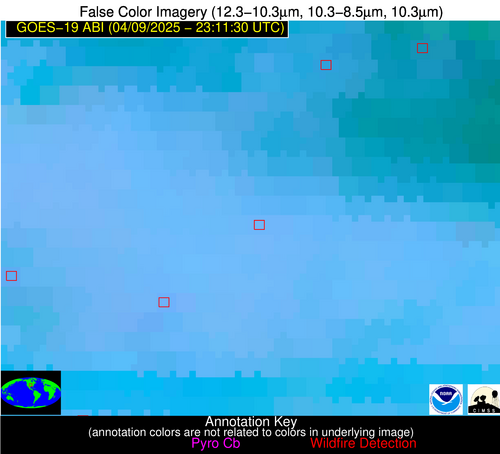
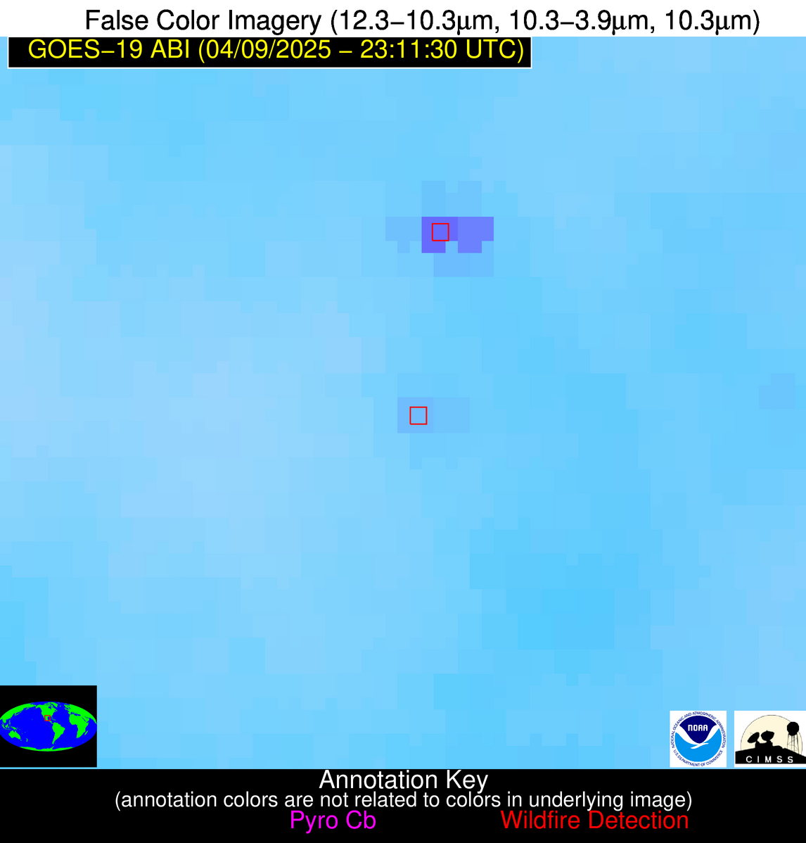
| Latest Satellite Imagery: | |
| View all event imagery » | |
Possible Wildfire
| Basic Information | |
|---|---|
| State/Province(s) | IA |
| Country/Countries | United States |
| County/Locality(s) | Crawford County, IA |
| NWS WFO | Des Moines IA |
| Identification Method | Enhanced Contextual (Clear) |
| Mean Object Date/Time | 2025-04-09 23:11:50UTC |
| Radiative Center (Lat, Lon): | 42.162224°, -95.445831° |
| Nearby Counties (meeting alert criteria): |
|
| Total Radiative Power Anomaly | n/a |
| Total Radiative Power | 16.70 MW |
| Map: | |
| Additional Information | |
| Alert Status | New Feature |
| Type of Event | Nominal Risk |
| Event Priority Ranking | 4 |
| Maximum Observed BT (3.9 um) | 295.24 K |
| Observed - Background BT (3.9 um) | 3.35 K |
| BT Anomaly (3.9 um) | 33.49 K |
| Maximum Observed - Clear RTM BT (3.9 um) | 9.69 K |
| Maximum Observed BTD (3.9-10/11/12 um) | 7.81 K |
| Observed - Background BTD (3.9-10/11/12 um) | 3.40 K |
| BTD Anomaly (3.9-10/11/12 um) | 9.32 K |
| Similar Pixel Count | 4 |
| BT Time Tendency (3.9 um) | 2.80 K |
| Image Interval | 5.00 minutes |
| Fraction of Surrounding LWIR Pixels that are Colder | 0.34 |
| Fraction of Surrounding Red Channel Pixels that are Brighter | 1.00 |
| Maximum Radiative Power | 16.70 MW |
| Maximum Radiative Power Uncertainty | 0.00 MW |
| Total Radiative Power Uncertainty | 0.00 MW |
| Mean Viewing Angle | 53.10° |
| Mean Solar Zenith Angle | 71.80° |
| Mean Glint Angle | 61.90° |
| Water Fraction | 0.00 |
| Total Pixel Area | 13.30 km2 |
| Latest Satellite Imagery: | |
| View all event imagery » | |
Possible Wildfire
| Basic Information | |
|---|---|
| State/Province(s) | KS |
| Country/Countries | United States |
| County/Locality(s) | Greenwood County, KS |
| NWS WFO | Wichita KS |
| Identification Method | Enhanced Contextual (Clear) |
| Mean Object Date/Time | 2025-04-09 23:11:50UTC |
| Radiative Center (Lat, Lon): | 37.665833°, -96.360275° |
| Nearby Counties (meeting alert criteria): |
|
| Total Radiative Power Anomaly | n/a |
| Total Radiative Power | 33.49 MW |
| Map: | |
| Additional Information | |
| Alert Status | New Feature |
| Type of Event | Elevated SPC Risk |
| Event Priority Ranking | 3 |
| Maximum Observed BT (3.9 um) | 304.85 K |
| Observed - Background BT (3.9 um) | 9.58 K |
| BT Anomaly (3.9 um) | 4.17 K |
| Maximum Observed - Clear RTM BT (3.9 um) | 15.50 K |
| Maximum Observed BTD (3.9-10/11/12 um) | 14.71 K |
| Observed - Background BTD (3.9-10/11/12 um) | 8.87 K |
| BTD Anomaly (3.9-10/11/12 um) | 4.01 K |
| Similar Pixel Count | 2 |
| BT Time Tendency (3.9 um) | 8.20 K |
| Image Interval | 5.00 minutes |
| Fraction of Surrounding LWIR Pixels that are Colder | 0.93 |
| Fraction of Surrounding Red Channel Pixels that are Brighter | 1.00 |
| Maximum Radiative Power | 33.49 MW |
| Maximum Radiative Power Uncertainty | 0.00 MW |
| Total Radiative Power Uncertainty | 0.00 MW |
| Mean Viewing Angle | 49.20° |
| Mean Solar Zenith Angle | 70.60° |
| Mean Glint Angle | 57.70° |
| Water Fraction | 0.00 |
| Total Pixel Area | 6.10 km2 |
| Latest Satellite Imagery: | |
| View all event imagery » | |
Possible Wildfire
| Basic Information | |
|---|---|
| State/Province(s) | Tamaulipas |
| Country/Countries | Mexico |
| County/Locality(s) | Cruillas, Tamaulipas |
| NWS WFO | N/A |
| Identification Method | Enhanced Contextual (Clear) |
| Mean Object Date/Time | 2025-04-09 23:13:19UTC |
| Radiative Center (Lat, Lon): | 24.635555°, -98.538887° |
| Nearby Counties (meeting alert criteria): |
|
| Total Radiative Power Anomaly | n/a |
| Total Radiative Power | 6.94 MW |
| Map: | |
| Additional Information | |
| Alert Status | New Feature |
| Type of Event | Nominal Risk |
| Event Priority Ranking | 4 |
| Maximum Observed BT (3.9 um) | 304.85 K |
| Observed - Background BT (3.9 um) | 2.96 K |
| BT Anomaly (3.9 um) | 1.46 K |
| Maximum Observed - Clear RTM BT (3.9 um) | 6.88 K |
| Maximum Observed BTD (3.9-10/11/12 um) | 6.16 K |
| Observed - Background BTD (3.9-10/11/12 um) | 2.46 K |
| BTD Anomaly (3.9-10/11/12 um) | 1.55 K |
| Similar Pixel Count | 2 |
| BT Time Tendency (3.9 um) | 1.10 K |
| Image Interval | 5.00 minutes |
| Fraction of Surrounding LWIR Pixels that are Colder | 0.66 |
| Fraction of Surrounding Red Channel Pixels that are Brighter | 1.00 |
| Maximum Radiative Power | 6.94 MW |
| Maximum Radiative Power Uncertainty | 0.00 MW |
| Total Radiative Power Uncertainty | 0.00 MW |
| Mean Viewing Angle | 39.10° |
| Mean Solar Zenith Angle | 67.80° |
| Mean Glint Angle | 45.80° |
| Water Fraction | 0.00 |
| Total Pixel Area | 5.20 km2 |
| Latest Satellite Imagery: | |
| View all event imagery » | |


