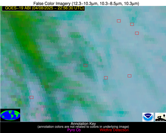
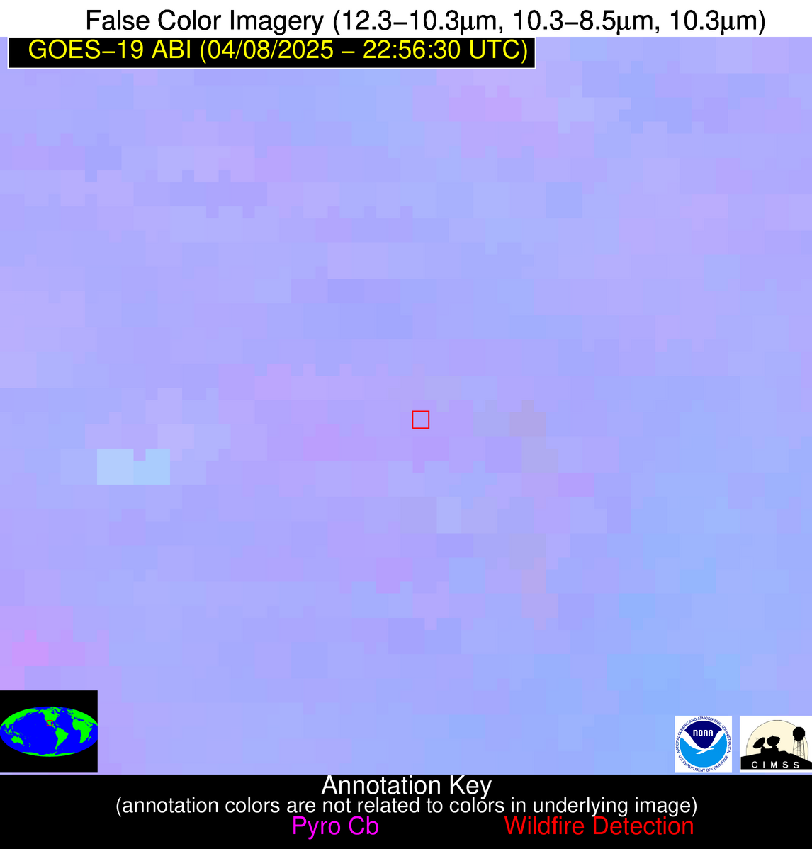
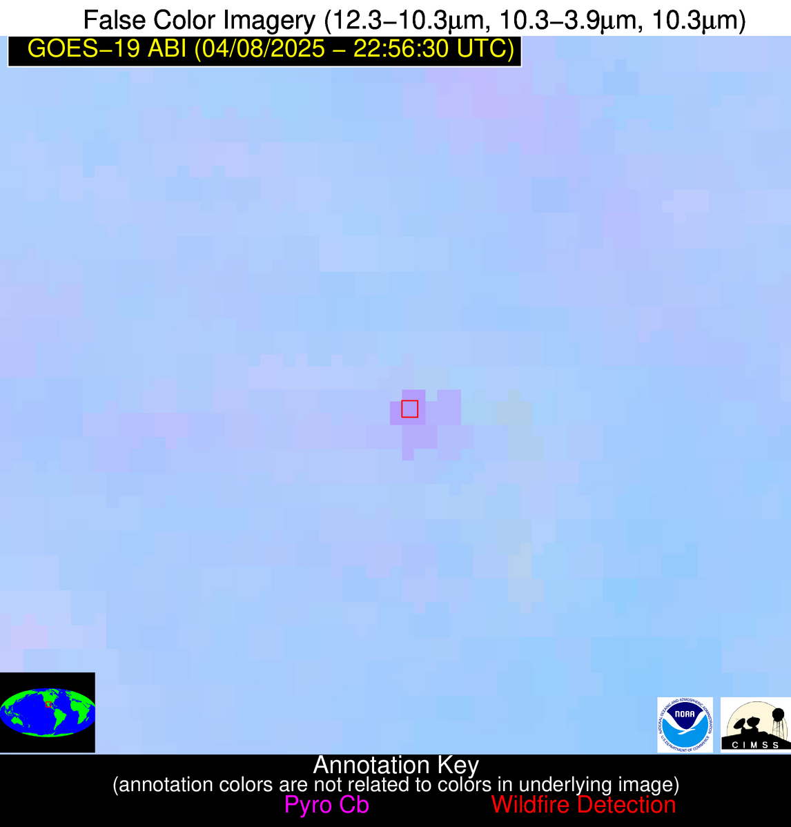
Wildfire Alert Report
| Date: | 2025-04-08 |
|---|---|
| Time: | 22:56:17 |
| Production Date and Time: | 2025-04-08 23:01:25 UTC |
| Primary Instrument: | GOES-19 ABI |
| Wmo Spacecraft Id: | 666 |
| Location/orbit: | GEO |
| L1 File: | OR_ABI-L1b-RadC-M6C14_G19_s20250982256175_e20250982258548_c20250982259035.nc |
| L1 File(s) - Temporal | OR_ABI-L1b-RadC-M6C14_G19_s20250982251175_e20250982253548_c20250982254002.nc |
| Number Of Thermal Anomaly Alerts: | 6 |
Possible Wildfire
| Basic Information | |
|---|---|
| State/Province(s) | IA |
| Country/Countries | United States |
| County/Locality(s) | Benton County, IA |
| NWS WFO | Quad Cities IL |
| Identification Method | Enhanced Contextual (Clear) |
| Mean Object Date/Time | 2025-04-08 22:56:51UTC |
| Radiative Center (Lat, Lon): | 41.887222°, -92.132500° |
| Nearby Counties (meeting alert criteria): |
|
| Total Radiative Power Anomaly | n/a |
| Total Radiative Power | 8.48 MW |
| Map: | |
| Additional Information | |
| Alert Status | New Feature |
| Type of Event | Nominal Risk |
| Event Priority Ranking | 4 |
| Maximum Observed BT (3.9 um) | 287.93 K |
| Observed - Background BT (3.9 um) | 3.16 K |
| BT Anomaly (3.9 um) | 3.61 K |
| Maximum Observed - Clear RTM BT (3.9 um) | 11.90 K |
| Maximum Observed BTD (3.9-10/11/12 um) | 8.58 K |
| Observed - Background BTD (3.9-10/11/12 um) | 3.04 K |
| BTD Anomaly (3.9-10/11/12 um) | 3.04 K |
| Similar Pixel Count | 3 |
| BT Time Tendency (3.9 um) | 1.30 K |
| Image Interval | 5.00 minutes |
| Fraction of Surrounding LWIR Pixels that are Colder | 0.48 |
| Fraction of Surrounding Red Channel Pixels that are Brighter | 1.00 |
| Maximum Radiative Power | 8.48 MW |
| Maximum Radiative Power Uncertainty | 0.00 MW |
| Total Radiative Power Uncertainty | 0.00 MW |
| Mean Viewing Angle | 51.60° |
| Mean Solar Zenith Angle | 71.70° |
| Mean Glint Angle | 65.50° |
| Water Fraction | 0.00 |
| Total Pixel Area | 6.40 km2 |
| Latest Satellite Imagery: | |
| View all event imagery » | |
Possible Wildfire
| Basic Information | |
|---|---|
| State/Province(s) | IA |
| Country/Countries | United States |
| County/Locality(s) | Marion County, IA |
| NWS WFO | Des Moines IA |
| Identification Method | Enhanced Contextual (Cloud) |
| Mean Object Date/Time | 2025-04-08 22:56:51UTC |
| Radiative Center (Lat, Lon): | 41.251110°, -93.305557° |
| Nearby Counties (meeting alert criteria): |
|
| Total Radiative Power Anomaly | n/a |
| Total Radiative Power | 23.67 MW |
| Map: | |
| Additional Information | |
| Alert Status | New Feature |
| Type of Event | Nominal Risk |
| Event Priority Ranking | 4 |
| Maximum Observed BT (3.9 um) | 293.90 K |
| Observed - Background BT (3.9 um) | 10.52 K |
| BT Anomaly (3.9 um) | 8.98 K |
| Maximum Observed - Clear RTM BT (3.9 um) | 15.54 K |
| Maximum Observed BTD (3.9-10/11/12 um) | 15.79 K |
| Observed - Background BTD (3.9-10/11/12 um) | 9.52 K |
| BTD Anomaly (3.9-10/11/12 um) | 9.46 K |
| Similar Pixel Count | 0 |
| BT Time Tendency (3.9 um) | 11.00 K |
| Image Interval | 5.00 minutes |
| Fraction of Surrounding LWIR Pixels that are Colder | 0.98 |
| Fraction of Surrounding Red Channel Pixels that are Brighter | 1.00 |
| Maximum Radiative Power | 23.67 MW |
| Maximum Radiative Power Uncertainty | 0.00 MW |
| Total Radiative Power Uncertainty | 0.00 MW |
| Mean Viewing Angle | 51.40° |
| Mean Solar Zenith Angle | 70.70° |
| Mean Glint Angle | 64.00° |
| Water Fraction | 0.00 |
| Total Pixel Area | 6.40 km2 |
| Latest Satellite Imagery: | |
| View all event imagery » | |
Possible Wildfire
| Basic Information | |
|---|---|
| State/Province(s) | OK |
| Country/Countries | United States |
| County/Locality(s) | Logan County, OK |
| NWS WFO | Norman OK |
| Identification Method | Enhanced Contextual (Clear) |
| Mean Object Date/Time | 2025-04-08 22:57:20UTC |
| Radiative Center (Lat, Lon): | 35.959446°, -97.249168° |
| Nearby Counties (meeting alert criteria): |
|
| Total Radiative Power Anomaly | n/a |
| Total Radiative Power | 11.70 MW |
| Map: | |
| Additional Information | |
| Alert Status | New Feature |
| Type of Event | Nominal Risk |
| Event Priority Ranking | 4 |
| Maximum Observed BT (3.9 um) | 297.56 K |
| Observed - Background BT (3.9 um) | 4.53 K |
| BT Anomaly (3.9 um) | 7.05 K |
| Maximum Observed - Clear RTM BT (3.9 um) | 9.94 K |
| Maximum Observed BTD (3.9-10/11/12 um) | 9.41 K |
| Observed - Background BTD (3.9-10/11/12 um) | 4.30 K |
| BTD Anomaly (3.9-10/11/12 um) | 3.69 K |
| Similar Pixel Count | 2 |
| BT Time Tendency (3.9 um) | 4.10 K |
| Image Interval | 5.00 minutes |
| Fraction of Surrounding LWIR Pixels that are Colder | 0.70 |
| Fraction of Surrounding Red Channel Pixels that are Brighter | 1.00 |
| Maximum Radiative Power | 11.70 MW |
| Maximum Radiative Power Uncertainty | 0.00 MW |
| Total Radiative Power Uncertainty | 0.00 MW |
| Mean Viewing Angle | 48.10° |
| Mean Solar Zenith Angle | 66.90° |
| Mean Glint Angle | 55.80° |
| Water Fraction | 0.00 |
| Total Pixel Area | 6.00 km2 |
| Latest Satellite Imagery: | |
| View all event imagery » | |
Possible Wildfire
| Basic Information | |
|---|---|
| State/Province(s) | OK |
| Country/Countries | United States |
| County/Locality(s) | Caddo County, OK |
| NWS WFO | Norman OK |
| Identification Method | Enhanced Contextual (Cloud) |
| Mean Object Date/Time | 2025-04-08 22:57:20UTC |
| Radiative Center (Lat, Lon): | 35.286945°, -98.589165° |
| Nearby Counties (meeting alert criteria): |
|
| Total Radiative Power Anomaly | n/a |
| Total Radiative Power | 468.65 MW |
| Map: | |
| Additional Information | |
| Alert Status | New Feature |
| Type of Event | Nominal Risk |
| Event Priority Ranking | 4 |
| Maximum Observed BT (3.9 um) | 338.62 K |
| Observed - Background BT (3.9 um) | 45.12 K |
| BT Anomaly (3.9 um) | 103.65 K |
| Maximum Observed - Clear RTM BT (3.9 um) | 51.80 K |
| Maximum Observed BTD (3.9-10/11/12 um) | 47.20 K |
| Observed - Background BTD (3.9-10/11/12 um) | 43.20 K |
| BTD Anomaly (3.9-10/11/12 um) | 135.59 K |
| Similar Pixel Count | 0 |
| BT Time Tendency (3.9 um) | 42.60 K |
| Image Interval | 5.00 minutes |
| Fraction of Surrounding LWIR Pixels that are Colder | 1.00 |
| Fraction of Surrounding Red Channel Pixels that are Brighter | 1.00 |
| Maximum Radiative Power | 337.70 MW |
| Maximum Radiative Power Uncertainty | 0.00 MW |
| Total Radiative Power Uncertainty | 0.00 MW |
| Mean Viewing Angle | 48.20° |
| Mean Solar Zenith Angle | 65.70° |
| Mean Glint Angle | 53.90° |
| Water Fraction | 0.00 |
| Total Pixel Area | 18.00 km2 |
| Latest Satellite Imagery: | |
| View all event imagery » | |
Possible Wildfire
| Basic Information | |
|---|---|
| State/Province(s) | OK |
| Country/Countries | United States |
| County/Locality(s) | Seminole County, OK |
| NWS WFO | Norman OK |
| Identification Method | Enhanced Contextual (Clear) |
| Mean Object Date/Time | 2025-04-08 22:57:20UTC |
| Radiative Center (Lat, Lon): | 35.182777°, -96.604721° |
| Nearby Counties (meeting alert criteria): |
|
| Total Radiative Power Anomaly | n/a |
| Total Radiative Power | 6.24 MW |
| Map: | |
| Additional Information | |
| Alert Status | New Feature |
| Type of Event | Nominal Risk |
| Event Priority Ranking | 4 |
| Maximum Observed BT (3.9 um) | 295.77 K |
| Observed - Background BT (3.9 um) | 2.52 K |
| BT Anomaly (3.9 um) | 6.50 K |
| Maximum Observed - Clear RTM BT (3.9 um) | 9.10 K |
| Maximum Observed BTD (3.9-10/11/12 um) | 5.79 K |
| Observed - Background BTD (3.9-10/11/12 um) | 2.38 K |
| BTD Anomaly (3.9-10/11/12 um) | 18.38 K |
| Similar Pixel Count | 4 |
| BT Time Tendency (3.9 um) | 1.00 K |
| Image Interval | 5.00 minutes |
| Fraction of Surrounding LWIR Pixels that are Colder | 0.66 |
| Fraction of Surrounding Red Channel Pixels that are Brighter | 1.00 |
| Maximum Radiative Power | 6.24 MW |
| Maximum Radiative Power Uncertainty | 0.00 MW |
| Total Radiative Power Uncertainty | 0.00 MW |
| Mean Viewing Angle | 47.00° |
| Mean Solar Zenith Angle | 67.30° |
| Mean Glint Angle | 55.80° |
| Water Fraction | 0.00 |
| Total Pixel Area | 5.90 km2 |
| Latest Satellite Imagery: | |
| View all event imagery » | |
Possible Wildfire
| Basic Information | |
|---|---|
| State/Province(s) | Zacatecas |
| Country/Countries | Mexico |
| County/Locality(s) | Mazapil, Zacatecas |
| NWS WFO | N/A |
| Identification Method | Enhanced Contextual (Clear) |
| Mean Object Date/Time | 2025-04-08 22:58:19UTC |
| Radiative Center (Lat, Lon): | 24.654722°, -101.529442° |
| Nearby Counties (meeting alert criteria): |
|
| Total Radiative Power Anomaly | n/a |
| Total Radiative Power | 19.96 MW |
| Map: | |
| Additional Information | |
| Alert Status | New Feature |
| Type of Event | Nominal Risk |
| Event Priority Ranking | 4 |
| Maximum Observed BT (3.9 um) | 305.94 K |
| Observed - Background BT (3.9 um) | 5.76 K |
| BT Anomaly (3.9 um) | 3.64 K |
| Maximum Observed - Clear RTM BT (3.9 um) | 12.73 K |
| Maximum Observed BTD (3.9-10/11/12 um) | 9.21 K |
| Observed - Background BTD (3.9-10/11/12 um) | 6.40 K |
| BTD Anomaly (3.9-10/11/12 um) | 20.62 K |
| Similar Pixel Count | 2 |
| BT Time Tendency (3.9 um) | 4.40 K |
| Image Interval | 5.00 minutes |
| Fraction of Surrounding LWIR Pixels that are Colder | 0.31 |
| Fraction of Surrounding Red Channel Pixels that are Brighter | 0.89 |
| Maximum Radiative Power | 19.96 MW |
| Maximum Radiative Power Uncertainty | 0.00 MW |
| Total Radiative Power Uncertainty | 0.00 MW |
| Mean Viewing Angle | 41.40° |
| Mean Solar Zenith Angle | 61.80° |
| Mean Glint Angle | 40.40° |
| Water Fraction | 0.00 |
| Total Pixel Area | 5.30 km2 |
| Latest Satellite Imagery: | |
| View all event imagery » | |


