Wildfire Alert Report
| Date: | 2025-04-07 |
|---|---|
| Time: | 19:06:17 |
| Production Date and Time: | 2025-04-07 19:11:07 UTC |
| Primary Instrument: | GOES-19 ABI |
| Wmo Spacecraft Id: | 666 |
| Location/orbit: | GEO |
| L1 File: | OR_ABI-L1b-RadC-M6C14_G19_s20250971906174_e20250971908547_c20250971909035.nc |
| L1 File(s) - Temporal | OR_ABI-L1b-RadC-M6C14_G19_s20250971901174_e20250971903546_c20250971904039.nc |
| Number Of Thermal Anomaly Alerts: | 6 |
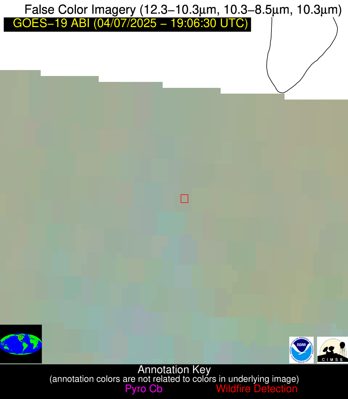
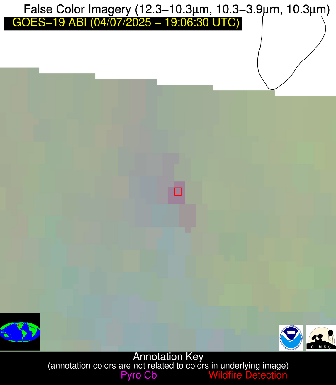
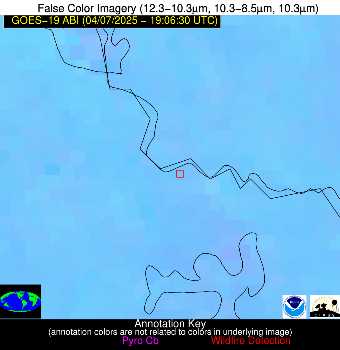
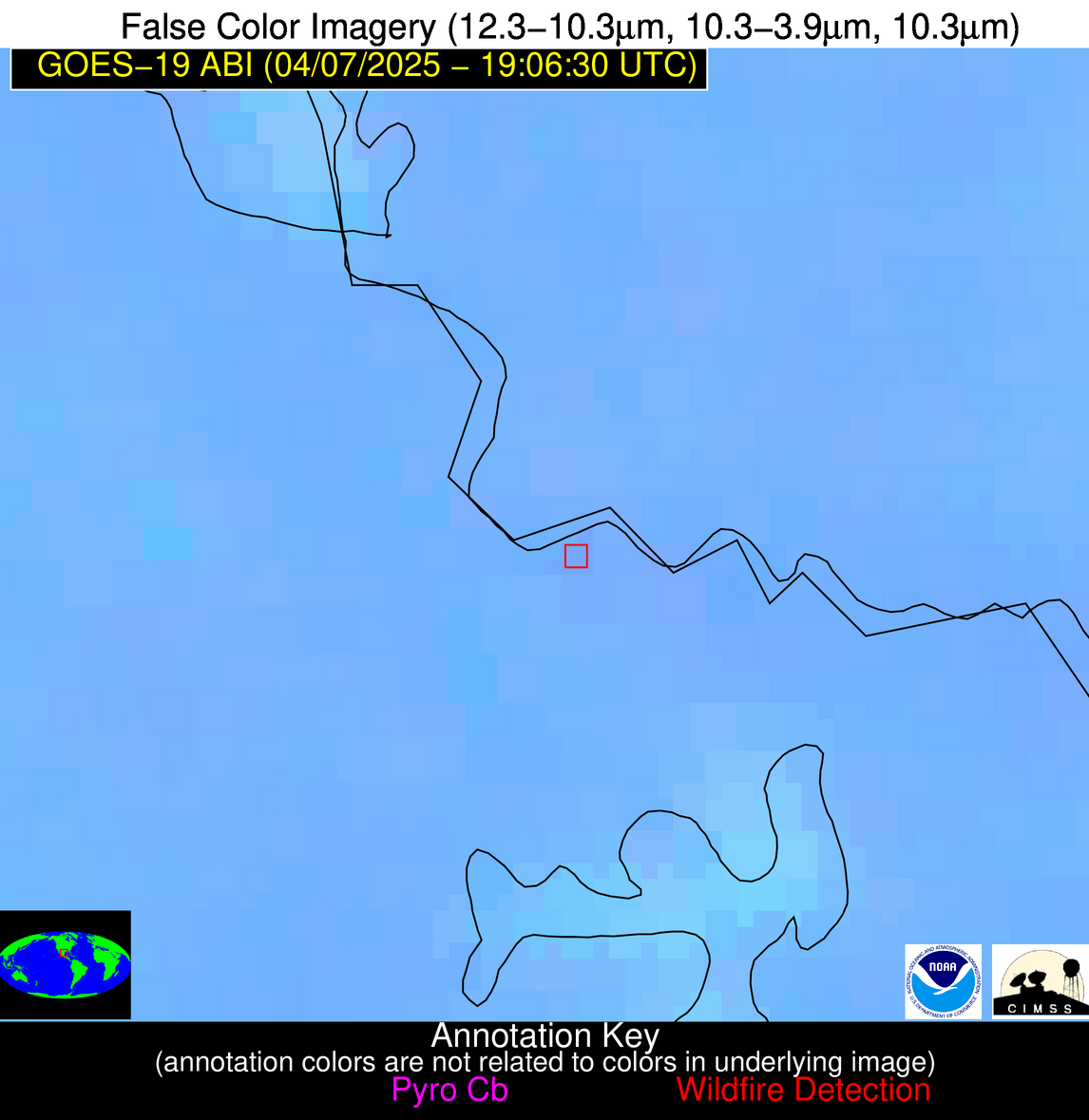
Possible Wildfire
| Basic Information | |
|---|---|
| State/Province(s) | Manitoba |
| Country/Countries | Canada |
| County/Locality(s) | Division No. 19, Manitoba |
| NWS WFO | N/A |
| Identification Method | Enhanced Contextual (Clear) |
| Mean Object Date/Time | 2025-04-07 19:06:21UTC |
| Radiative Center (Lat, Lon): | 51.275276°, -97.480835° |
| Nearby Counties (meeting alert criteria): |
|
| Total Radiative Power Anomaly | n/a |
| Total Radiative Power | 14.43 MW |
| Map: | |
| Additional Information | |
| Alert Status | New Feature |
| Type of Event | Nominal Risk |
| Event Priority Ranking | 4 |
| Maximum Observed BT (3.9 um) | 285.49 K |
| Observed - Background BT (3.9 um) | 6.39 K |
| BT Anomaly (3.9 um) | 3.55 K |
| Maximum Observed - Clear RTM BT (3.9 um) | 14.34 K |
| Maximum Observed BTD (3.9-10/11/12 um) | 13.17 K |
| Observed - Background BTD (3.9-10/11/12 um) | 6.20 K |
| BTD Anomaly (3.9-10/11/12 um) | 8.93 K |
| Similar Pixel Count | 7 |
| BT Time Tendency (3.9 um) | 2.90 K |
| Image Interval | 5.00 minutes |
| Fraction of Surrounding LWIR Pixels that are Colder | 0.51 |
| Fraction of Surrounding Red Channel Pixels that are Brighter | 0.98 |
| Maximum Radiative Power | 14.43 MW |
| Maximum Radiative Power Uncertainty | 0.00 MW |
| Total Radiative Power Uncertainty | 0.00 MW |
| Mean Viewing Angle | 62.70° |
| Mean Solar Zenith Angle | 45.40° |
| Mean Glint Angle | 99.50° |
| Water Fraction | 0.00 |
| Total Pixel Area | 8.70 km2 |
| Latest Satellite Imagery: | |
| View all event imagery » | |
Possible Wildfire
| Basic Information | |
|---|---|
| State/Province(s) | KS |
| Country/Countries | United States |
| County/Locality(s) | Dickinson County, KS |
| NWS WFO | Topeka KS |
| Identification Method | Enhanced Contextual (Clear) |
| Mean Object Date/Time | 2025-04-07 19:06:50UTC |
| Radiative Center (Lat, Lon): | 39.122501°, -97.024719° |
| Nearby Counties (meeting alert criteria): |
|
| Total Radiative Power Anomaly | n/a |
| Total Radiative Power | 8.07 MW |
| Map: | |
| Additional Information | |
| Alert Status | New Feature |
| Type of Event | Nominal Risk |
| Event Priority Ranking | 4 |
| Maximum Observed BT (3.9 um) | 301.43 K |
| Observed - Background BT (3.9 um) | 1.92 K |
| BT Anomaly (3.9 um) | 1.92 K |
| Maximum Observed - Clear RTM BT (3.9 um) | 15.33 K |
| Maximum Observed BTD (3.9-10/11/12 um) | 11.10 K |
| Observed - Background BTD (3.9-10/11/12 um) | 2.18 K |
| BTD Anomaly (3.9-10/11/12 um) | 4.23 K |
| Similar Pixel Count | 25 |
| BT Time Tendency (3.9 um) | 0.70 K |
| Image Interval | 5.00 minutes |
| Fraction of Surrounding LWIR Pixels that are Colder | 0.43 |
| Fraction of Surrounding Red Channel Pixels that are Brighter | 1.00 |
| Maximum Radiative Power | 8.07 MW |
| Maximum Radiative Power Uncertainty | 0.00 MW |
| Total Radiative Power Uncertainty | 0.00 MW |
| Mean Viewing Angle | 50.90° |
| Mean Solar Zenith Angle | 33.70° |
| Mean Glint Angle | 76.10° |
| Water Fraction | 0.00 |
| Total Pixel Area | 6.30 km2 |
| Latest Satellite Imagery: | |
| View all event imagery » | |
Possible Wildfire
| Basic Information | |
|---|---|
| State/Province(s) | KS |
| Country/Countries | United States |
| County/Locality(s) | Sheridan County, KS |
| NWS WFO | Goodland KS |
| Identification Method | Enhanced Contextual (Clear) |
| Mean Object Date/Time | 2025-04-07 19:06:50UTC |
| Radiative Center (Lat, Lon): | 39.193333°, -100.349724° |
| Nearby Counties (meeting alert criteria): |
|
| Total Radiative Power Anomaly | n/a |
| Total Radiative Power | 9.78 MW |
| Map: | |
| Additional Information | |
| Alert Status | New Feature |
| Type of Event | Nominal Risk |
| Event Priority Ranking | 4 |
| Maximum Observed BT (3.9 um) | 310.60 K |
| Observed - Background BT (3.9 um) | 1.91 K |
| BT Anomaly (3.9 um) | 1.93 K |
| Maximum Observed - Clear RTM BT (3.9 um) | 18.74 K |
| Maximum Observed BTD (3.9-10/11/12 um) | 11.71 K |
| Observed - Background BTD (3.9-10/11/12 um) | 1.86 K |
| BTD Anomaly (3.9-10/11/12 um) | 4.48 K |
| Similar Pixel Count | 25 |
| BT Time Tendency (3.9 um) | 0.70 K |
| Image Interval | 5.00 minutes |
| Fraction of Surrounding LWIR Pixels that are Colder | 0.56 |
| Fraction of Surrounding Red Channel Pixels that are Brighter | 1.00 |
| Maximum Radiative Power | 9.78 MW |
| Maximum Radiative Power Uncertainty | 0.00 MW |
| Total Radiative Power Uncertainty | 0.00 MW |
| Mean Viewing Angle | 52.60° |
| Mean Solar Zenith Angle | 33.20° |
| Mean Glint Angle | 77.80° |
| Water Fraction | 0.00 |
| Total Pixel Area | 6.60 km2 |
| Latest Satellite Imagery: | |
| View all event imagery » | |
Possible Wildfire
| Basic Information | |
|---|---|
| State/Province(s) | OK |
| Country/Countries | United States |
| County/Locality(s) | Osage County, OK |
| NWS WFO | Tulsa OK |
| Identification Method | Enhanced Contextual (Clear) |
| Mean Object Date/Time | 2025-04-07 19:06:50UTC |
| Radiative Center (Lat, Lon): | 36.673332°, -96.047775° |
| Nearby Counties (meeting alert criteria): |
|
| Total Radiative Power Anomaly | n/a |
| Total Radiative Power | 32.27 MW |
| Map: | |
| Additional Information | |
| Alert Status | New Feature |
| Type of Event | Nominal Risk |
| Event Priority Ranking | 4 |
| Maximum Observed BT (3.9 um) | 305.81 K |
| Observed - Background BT (3.9 um) | 4.96 K |
| BT Anomaly (3.9 um) | 4.33 K |
| Maximum Observed - Clear RTM BT (3.9 um) | 17.50 K |
| Maximum Observed BTD (3.9-10/11/12 um) | 12.04 K |
| Observed - Background BTD (3.9-10/11/12 um) | 5.20 K |
| BTD Anomaly (3.9-10/11/12 um) | 10.42 K |
| Similar Pixel Count | 4 |
| BT Time Tendency (3.9 um) | 4.30 K |
| Image Interval | 5.00 minutes |
| Fraction of Surrounding LWIR Pixels that are Colder | 0.34 |
| Fraction of Surrounding Red Channel Pixels that are Brighter | 1.00 |
| Maximum Radiative Power | 32.27 MW |
| Maximum Radiative Power Uncertainty | 0.00 MW |
| Total Radiative Power Uncertainty | 0.00 MW |
| Mean Viewing Angle | 48.10° |
| Mean Solar Zenith Angle | 31.60° |
| Mean Glint Angle | 70.90° |
| Water Fraction | 0.00 |
| Total Pixel Area | 12.00 km2 |
| Latest Satellite Imagery: | |
| View all event imagery » | |
Possible Wildfire
| Basic Information | |
|---|---|
| State/Province(s) | Tamaulipas |
| Country/Countries | Mexico |
| County/Locality(s) | Miguel Alemán, Tamaulipas |
| NWS WFO | N/A |
| Identification Method | Enhanced Contextual (Clear) |
| Mean Object Date/Time | 2025-04-07 19:07:49UTC |
| Radiative Center (Lat, Lon): | 26.391666°, -99.050552° |
| Nearby Counties (meeting alert criteria): |
|
| Total Radiative Power Anomaly | n/a |
| Total Radiative Power | 5.88 MW |
| Map: | |
| Additional Information | |
| Alert Status | New Feature |
| Type of Event | Nominal Risk |
| Event Priority Ranking | 4 |
| Maximum Observed BT (3.9 um) | 311.85 K |
| Observed - Background BT (3.9 um) | 1.91 K |
| BT Anomaly (3.9 um) | 1.97 K |
| Maximum Observed - Clear RTM BT (3.9 um) | 11.21 K |
| Maximum Observed BTD (3.9-10/11/12 um) | 8.89 K |
| Observed - Background BTD (3.9-10/11/12 um) | 1.56 K |
| BTD Anomaly (3.9-10/11/12 um) | 4.34 K |
| Similar Pixel Count | 25 |
| BT Time Tendency (3.9 um) | 0.80 K |
| Image Interval | 5.00 minutes |
| Fraction of Surrounding LWIR Pixels that are Colder | 0.70 |
| Fraction of Surrounding Red Channel Pixels that are Brighter | 0.93 |
| Maximum Radiative Power | 5.88 MW |
| Maximum Radiative Power Uncertainty | 0.00 MW |
| Total Radiative Power Uncertainty | 0.00 MW |
| Mean Viewing Angle | 40.80° |
| Mean Solar Zenith Angle | 21.00° |
| Mean Glint Angle | 52.80° |
| Water Fraction | 0.00 |
| Total Pixel Area | 5.30 km2 |
| Latest Satellite Imagery: | |
| View all event imagery » | |
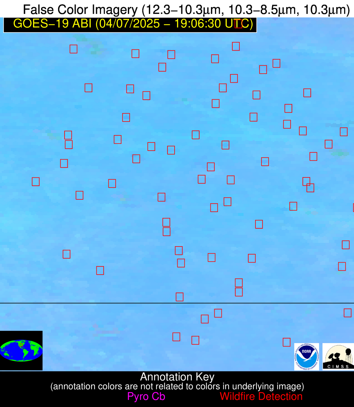
Possible Wildfire
| Basic Information | |
|---|---|
| State/Province(s) | Unknown |
| Country/Countries | Cuba |
| County/Locality(s) | Unknown, Unknown |
| NWS WFO | N/A |
| Identification Method | Enhanced Contextual (Cloud) |
| Mean Object Date/Time | 2025-04-07 19:08:22UTC |
| Radiative Center (Lat, Lon): | 22.978333°, -81.567497° |
| Nearby Counties (meeting alert criteria): |
|
| Total Radiative Power Anomaly | n/a |
| Total Radiative Power | 50.32 MW |
| Map: | |
| Additional Information | |
| Alert Status | New Feature |
| Type of Event | Nominal Risk |
| Event Priority Ranking | 4 |
| Maximum Observed BT (3.9 um) | 323.34 K |
| Observed - Background BT (3.9 um) | 13.04 K |
| BT Anomaly (3.9 um) | 7.24 K |
| Maximum Observed - Clear RTM BT (3.9 um) | 13.01 K |
| Maximum Observed BTD (3.9-10/11/12 um) | 25.88 K |
| Observed - Background BTD (3.9-10/11/12 um) | 11.83 K |
| BTD Anomaly (3.9-10/11/12 um) | 8.96 K |
| Similar Pixel Count | 0 |
| BT Time Tendency (3.9 um) | 14.60 K |
| Image Interval | 5.00 minutes |
| Fraction of Surrounding LWIR Pixels that are Colder | 0.99 |
| Fraction of Surrounding Red Channel Pixels that are Brighter | 1.00 |
| Maximum Radiative Power | 50.32 MW |
| Maximum Radiative Power Uncertainty | 0.00 MW |
| Total Radiative Power Uncertainty | 0.00 MW |
| Mean Viewing Angle | 28.00° |
| Mean Solar Zenith Angle | 28.80° |
| Mean Glint Angle | 44.40° |
| Water Fraction | 0.00 |
| Total Pixel Area | 4.50 km2 |
| Latest Satellite Imagery: | |
| View all event imagery » | |
