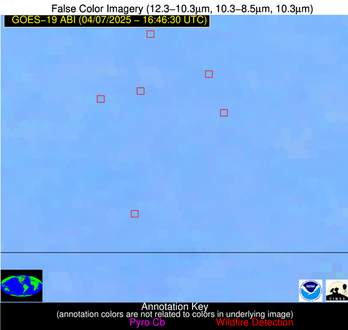
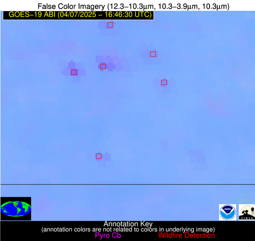
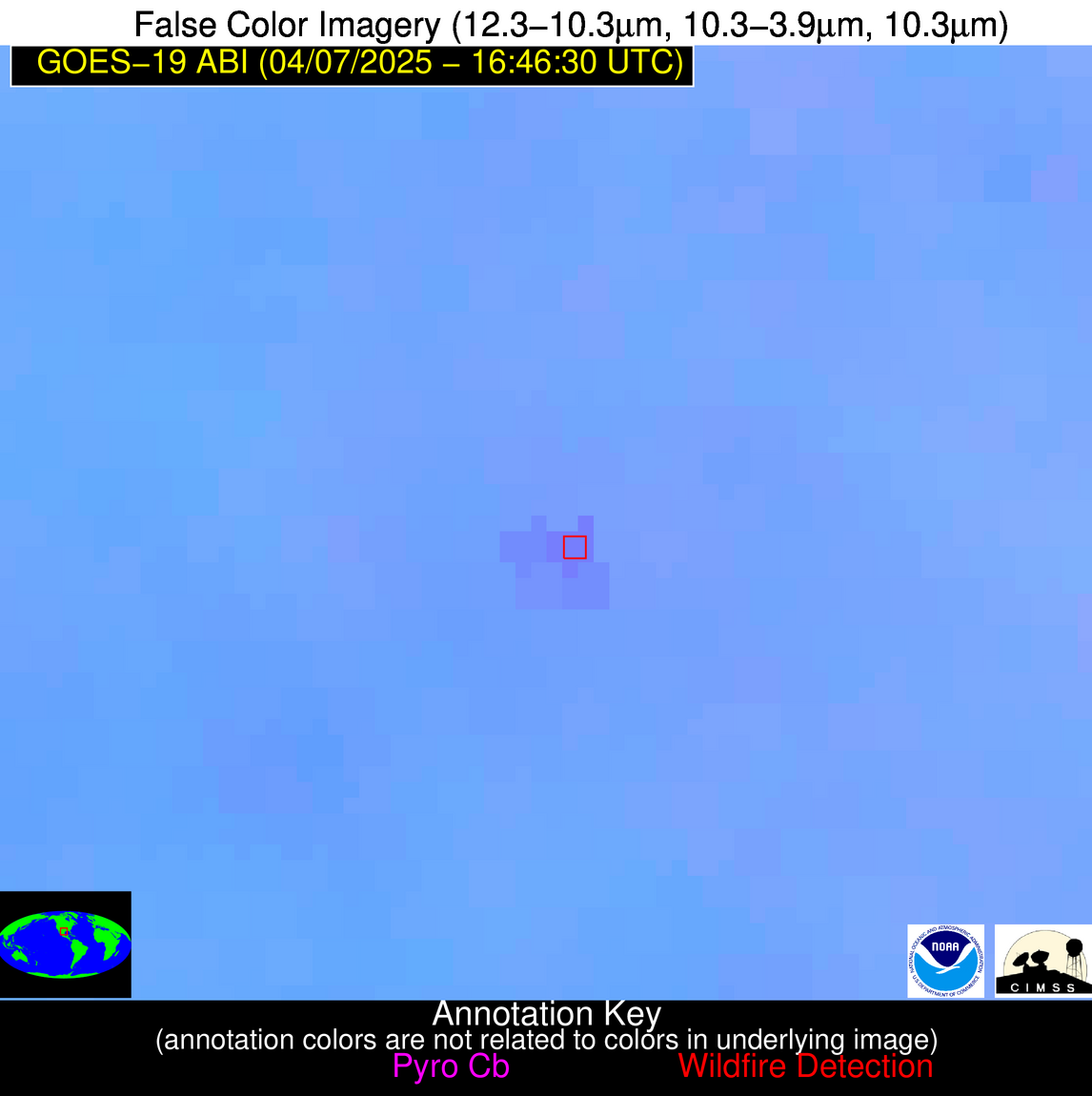
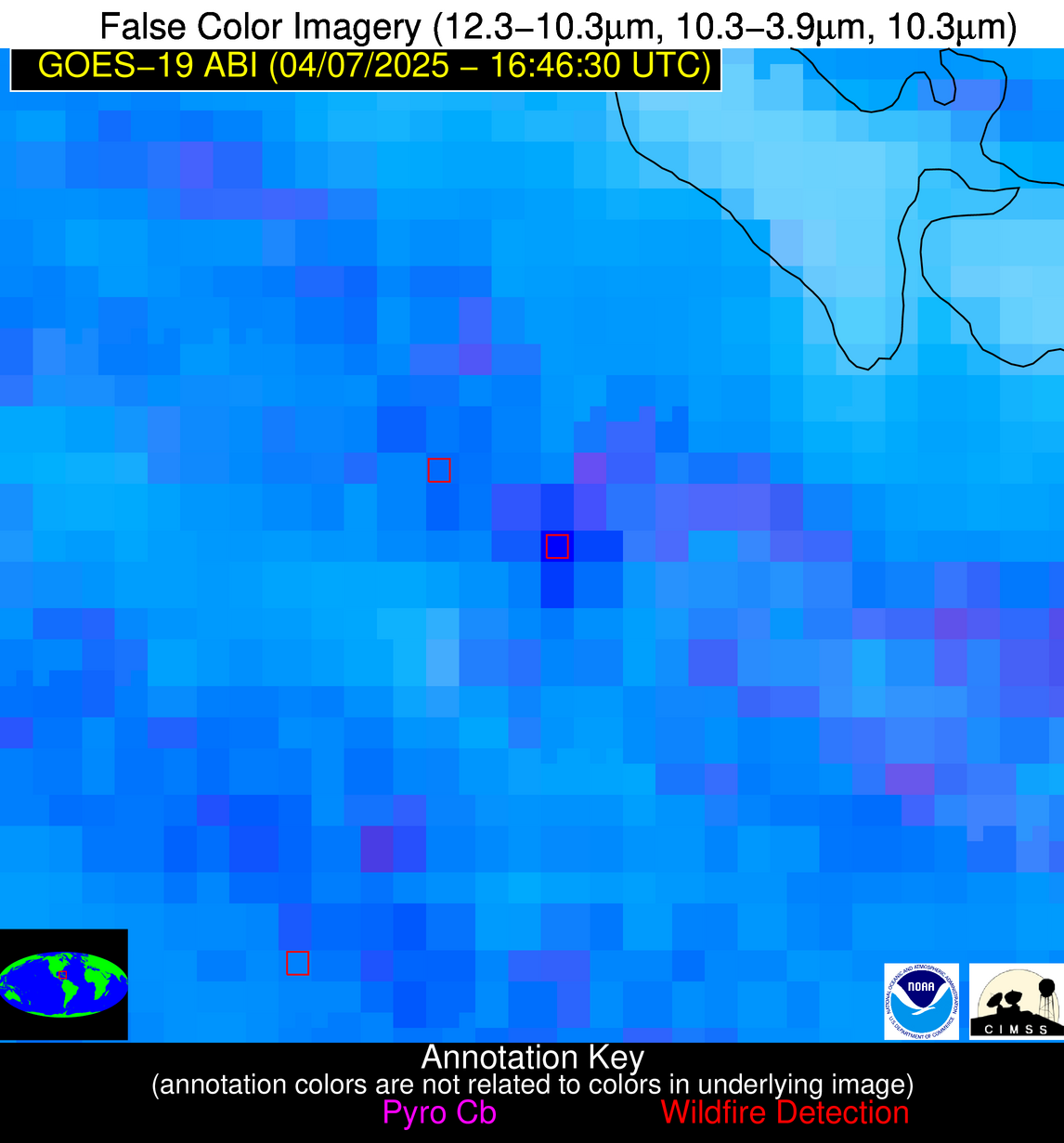
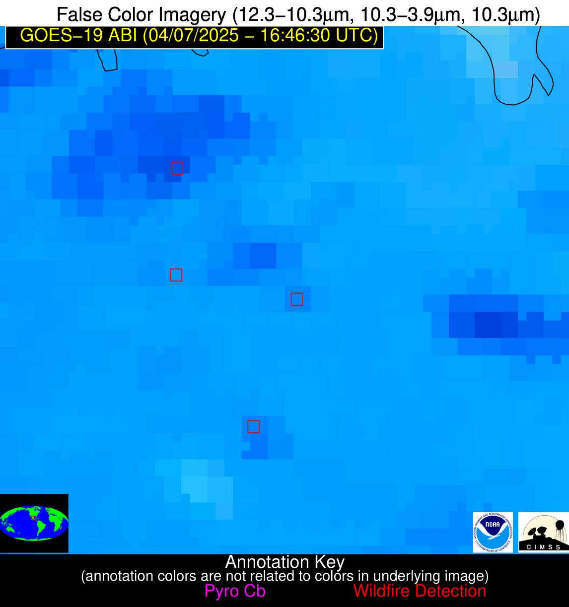
10 Jan 2026: Notice to users: ongoing data center construction may unexpectedly interrupt NGFS product generation.
Wildfire Alert Report
| Date: | 2025-04-07 |
|---|---|
| Time: | 16:46:17 |
| Production Date and Time: | 2025-04-07 16:51:06 UTC |
| Primary Instrument: | GOES-19 ABI |
| Wmo Spacecraft Id: | 666 |
| Location/orbit: | GEO |
| L1 File: | OR_ABI-L1b-RadC-M6C14_G19_s20250971646173_e20250971648546_c20250971649038.nc |
| L1 File(s) - Temporal | OR_ABI-L1b-RadC-M6C14_G19_s20250971641173_e20250971643546_c20250971644042.nc |
| Number Of Thermal Anomaly Alerts: | 8 |
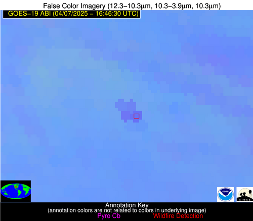
Possible Wildfire
| Basic Information | |
|---|---|
| State/Province(s) | MT |
| Country/Countries | United States |
| County/Locality(s) | Teton County, MT |
| NWS WFO | Great Falls MT |
| Identification Method | Enhanced Contextual (Cloud) |
| Mean Object Date/Time | 2025-04-07 16:46:19UTC |
| Radiative Center (Lat, Lon): | 47.681110°, -111.728333° |
| Nearby Counties (meeting alert criteria): |
|
| Total Radiative Power Anomaly | n/a |
| Total Radiative Power | 87.27 MW |
| Map: | |
| Additional Information | |
| Alert Status | New Feature |
| Type of Event | Nominal Risk |
| Event Priority Ranking | 4 |
| Maximum Observed BT (3.9 um) | 304.50 K |
| Observed - Background BT (3.9 um) | 7.83 K |
| BT Anomaly (3.9 um) | 4.31 K |
| Maximum Observed - Clear RTM BT (3.9 um) | 20.01 K |
| Maximum Observed BTD (3.9-10/11/12 um) | 24.30 K |
| Observed - Background BTD (3.9-10/11/12 um) | 7.49 K |
| BTD Anomaly (3.9-10/11/12 um) | 4.98 K |
| Similar Pixel Count | 0 |
| BT Time Tendency (3.9 um) | 9.20 K |
| Image Interval | 5.00 minutes |
| Fraction of Surrounding LWIR Pixels that are Colder | 0.94 |
| Fraction of Surrounding Red Channel Pixels that are Brighter | 0.88 |
| Maximum Radiative Power | 44.53 MW |
| Maximum Radiative Power Uncertainty | 0.00 MW |
| Total Radiative Power Uncertainty | 0.00 MW |
| Mean Viewing Angle | 65.60° |
| Mean Solar Zenith Angle | 53.90° |
| Mean Glint Angle | 119.00° |
| Water Fraction | 0.00 |
| Total Pixel Area | 19.40 km2 |
| Latest Satellite Imagery: | |
| View all event imagery » | |
Possible Wildfire
| Basic Information | |
|---|---|
| State/Province(s) | IA |
| Country/Countries | United States |
| County/Locality(s) | Woodbury County, IA |
| NWS WFO | Sioux Falls SD |
| Identification Method | Enhanced Contextual (Clear) |
| Mean Object Date/Time | 2025-04-07 16:46:50UTC |
| Radiative Center (Lat, Lon): | 42.214169°, -95.943336° |
| Nearby Counties (meeting alert criteria): |
|
| Total Radiative Power Anomaly | n/a |
| Total Radiative Power | 13.24 MW |
| Map: | |
| Additional Information | |
| Alert Status | New Feature |
| Type of Event | Nominal Risk |
| Event Priority Ranking | 4 |
| Maximum Observed BT (3.9 um) | 301.85 K |
| Observed - Background BT (3.9 um) | 3.80 K |
| BT Anomaly (3.9 um) | 3.10 K |
| Maximum Observed - Clear RTM BT (3.9 um) | 21.53 K |
| Maximum Observed BTD (3.9-10/11/12 um) | 17.06 K |
| Observed - Background BTD (3.9-10/11/12 um) | 4.05 K |
| BTD Anomaly (3.9-10/11/12 um) | 4.67 K |
| Similar Pixel Count | 25 |
| BT Time Tendency (3.9 um) | 3.60 K |
| Image Interval | 5.00 minutes |
| Fraction of Surrounding LWIR Pixels that are Colder | 0.34 |
| Fraction of Surrounding Red Channel Pixels that are Brighter | 1.00 |
| Maximum Radiative Power | 13.24 MW |
| Maximum Radiative Power Uncertainty | 0.00 MW |
| Total Radiative Power Uncertainty | 0.00 MW |
| Mean Viewing Angle | 53.40° |
| Mean Solar Zenith Angle | 42.00° |
| Mean Glint Angle | 95.00° |
| Water Fraction | 0.00 |
| Total Pixel Area | 6.70 km2 |
| Latest Satellite Imagery: | |
| View all event imagery » | |
Possible Wildfire
| Basic Information | |
|---|---|
| State/Province(s) | NE |
| Country/Countries | United States |
| County/Locality(s) | Lincoln County, NE |
| NWS WFO | North Platte NE |
| Identification Method | Enhanced Contextual (Clear) |
| Mean Object Date/Time | 2025-04-07 16:46:50UTC |
| Radiative Center (Lat, Lon): | 40.808056°, -100.355278° |
| Nearby Counties (meeting alert criteria): |
|
| Total Radiative Power Anomaly | n/a |
| Total Radiative Power | 57.36 MW |
| Map: | |
| Additional Information | |
| Alert Status | New Feature |
| Type of Event | Nominal Risk |
| Event Priority Ranking | 4 |
| Maximum Observed BT (3.9 um) | 305.91 K |
| Observed - Background BT (3.9 um) | 6.63 K |
| BT Anomaly (3.9 um) | 3.94 K |
| Maximum Observed - Clear RTM BT (3.9 um) | 18.02 K |
| Maximum Observed BTD (3.9-10/11/12 um) | 16.71 K |
| Observed - Background BTD (3.9-10/11/12 um) | 6.36 K |
| BTD Anomaly (3.9-10/11/12 um) | 7.05 K |
| Similar Pixel Count | 5 |
| BT Time Tendency (3.9 um) | 6.70 K |
| Image Interval | 5.00 minutes |
| Fraction of Surrounding LWIR Pixels that are Colder | 0.56 |
| Fraction of Surrounding Red Channel Pixels that are Brighter | 0.98 |
| Maximum Radiative Power | 34.46 MW |
| Maximum Radiative Power Uncertainty | 0.00 MW |
| Total Radiative Power Uncertainty | 0.00 MW |
| Mean Viewing Angle | 54.10° |
| Mean Solar Zenith Angle | 43.20° |
| Mean Glint Angle | 96.80° |
| Water Fraction | 0.00 |
| Total Pixel Area | 20.40 km2 |
| Latest Satellite Imagery: | |
| View all event imagery » | |
Possible Wildfire
| Basic Information | |
|---|---|
| State/Province(s) | KS |
| Country/Countries | United States |
| County/Locality(s) | Elk County, KS |
| NWS WFO | Wichita KS |
| Identification Method | Enhanced Contextual (Clear) |
| Mean Object Date/Time | 2025-04-07 16:46:50UTC |
| Radiative Center (Lat, Lon): | 37.380280°, -96.365280° |
| Nearby Counties (meeting alert criteria): |
|
| Total Radiative Power Anomaly | n/a |
| Total Radiative Power | 14.11 MW |
| Map: | |
| Additional Information | |
| Alert Status | New Feature |
| Type of Event | Nominal Risk |
| Event Priority Ranking | 4 |
| Maximum Observed BT (3.9 um) | 304.00 K |
| Observed - Background BT (3.9 um) | 3.71 K |
| BT Anomaly (3.9 um) | 3.05 K |
| Maximum Observed - Clear RTM BT (3.9 um) | 17.52 K |
| Maximum Observed BTD (3.9-10/11/12 um) | 12.20 K |
| Observed - Background BTD (3.9-10/11/12 um) | 3.75 K |
| BTD Anomaly (3.9-10/11/12 um) | 3.64 K |
| Similar Pixel Count | 13 |
| BT Time Tendency (3.9 um) | 3.20 K |
| Image Interval | 5.00 minutes |
| Fraction of Surrounding LWIR Pixels that are Colder | 0.45 |
| Fraction of Surrounding Red Channel Pixels that are Brighter | 1.00 |
| Maximum Radiative Power | 14.11 MW |
| Maximum Radiative Power Uncertainty | 0.00 MW |
| Total Radiative Power Uncertainty | 0.00 MW |
| Mean Viewing Angle | 48.90° |
| Mean Solar Zenith Angle | 38.60° |
| Mean Glint Angle | 87.10° |
| Water Fraction | 0.00 |
| Total Pixel Area | 6.10 km2 |
| Latest Satellite Imagery: | |
| View all event imagery » | |
Possible Wildfire
| Basic Information | |
|---|---|
| State/Province(s) | KS |
| Country/Countries | United States |
| County/Locality(s) | Cowley County, KS |
| NWS WFO | Wichita KS |
| Identification Method | Enhanced Contextual (Clear) |
| Mean Object Date/Time | 2025-04-07 16:46:50UTC |
| Radiative Center (Lat, Lon): | 37.105278°, -96.583054° |
| Nearby Counties (meeting alert criteria): |
|
| Total Radiative Power Anomaly | n/a |
| Total Radiative Power | 14.21 MW |
| Map: | |
| Additional Information | |
| Alert Status | New Feature |
| Type of Event | Nominal Risk |
| Event Priority Ranking | 4 |
| Maximum Observed BT (3.9 um) | 304.92 K |
| Observed - Background BT (3.9 um) | 4.05 K |
| BT Anomaly (3.9 um) | 5.25 K |
| Maximum Observed - Clear RTM BT (3.9 um) | 18.77 K |
| Maximum Observed BTD (3.9-10/11/12 um) | 12.35 K |
| Observed - Background BTD (3.9-10/11/12 um) | 3.93 K |
| BTD Anomaly (3.9-10/11/12 um) | 12.55 K |
| Similar Pixel Count | 20 |
| BT Time Tendency (3.9 um) | 3.50 K |
| Image Interval | 5.00 minutes |
| Fraction of Surrounding LWIR Pixels that are Colder | 0.58 |
| Fraction of Surrounding Red Channel Pixels that are Brighter | 1.00 |
| Maximum Radiative Power | 14.21 MW |
| Maximum Radiative Power Uncertainty | 0.00 MW |
| Total Radiative Power Uncertainty | 0.00 MW |
| Mean Viewing Angle | 48.80° |
| Mean Solar Zenith Angle | 38.50° |
| Mean Glint Angle | 86.80° |
| Water Fraction | 0.00 |
| Total Pixel Area | 6.10 km2 |
| Latest Satellite Imagery: | |
| View all event imagery » | |
Possible Wildfire
| Basic Information | |
|---|---|
| State/Province(s) | TX |
| Country/Countries | United States |
| County/Locality(s) | Zavala County, TX |
| NWS WFO | Austin/San Antonio TX |
| Identification Method | Enhanced Contextual (Clear) |
| Mean Object Date/Time | 2025-04-07 16:47:49UTC |
| Radiative Center (Lat, Lon): | 29.089722°, -99.718330° |
| Nearby Counties (meeting alert criteria): |
|
| Total Radiative Power Anomaly | n/a |
| Total Radiative Power | 24.92 MW |
| Map: | |
| Additional Information | |
| Alert Status | New Feature |
| Type of Event | Nominal Risk |
| Event Priority Ranking | 4 |
| Maximum Observed BT (3.9 um) | 316.76 K |
| Observed - Background BT (3.9 um) | 5.89 K |
| BT Anomaly (3.9 um) | 4.69 K |
| Maximum Observed - Clear RTM BT (3.9 um) | 22.10 K |
| Maximum Observed BTD (3.9-10/11/12 um) | 14.80 K |
| Observed - Background BTD (3.9-10/11/12 um) | 5.38 K |
| BTD Anomaly (3.9-10/11/12 um) | 13.70 K |
| Similar Pixel Count | 17 |
| BT Time Tendency (3.9 um) | 1.30 K |
| Image Interval | 5.00 minutes |
| Fraction of Surrounding LWIR Pixels that are Colder | 0.72 |
| Fraction of Surrounding Red Channel Pixels that are Brighter | 1.00 |
| Maximum Radiative Power | 24.92 MW |
| Maximum Radiative Power Uncertainty | 0.00 MW |
| Total Radiative Power Uncertainty | 0.00 MW |
| Mean Viewing Angle | 43.50° |
| Mean Solar Zenith Angle | 35.30° |
| Mean Glint Angle | 78.20° |
| Water Fraction | 0.00 |
| Total Pixel Area | 5.50 km2 |
| Latest Satellite Imagery: | |
| View all event imagery » | |
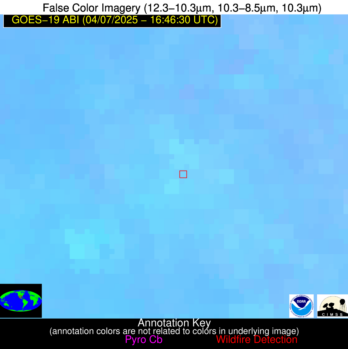
Possible Wildfire
| Basic Information | |
|---|---|
| State/Province(s) | Unknown |
| Country/Countries | Cuba |
| County/Locality(s) | Unknown, Unknown |
| NWS WFO | N/A |
| Identification Method | Enhanced Contextual (Cloud) |
| Mean Object Date/Time | 2025-04-07 16:48:22UTC |
| Radiative Center (Lat, Lon): | 21.769722°, -78.040001° |
| Nearby Counties (meeting alert criteria): |
|
| Total Radiative Power Anomaly | n/a |
| Total Radiative Power | 162.01 MW |
| Map: | |
| Additional Information | |
| Alert Status | New Feature |
| Type of Event | Nominal Risk |
| Event Priority Ranking | 4 |
| Maximum Observed BT (3.9 um) | 334.28 K |
| Observed - Background BT (3.9 um) | 21.62 K |
| BT Anomaly (3.9 um) | 9.50 K |
| Maximum Observed - Clear RTM BT (3.9 um) | 29.74 K |
| Maximum Observed BTD (3.9-10/11/12 um) | 36.17 K |
| Observed - Background BTD (3.9-10/11/12 um) | 21.71 K |
| BTD Anomaly (3.9-10/11/12 um) | 9.52 K |
| Similar Pixel Count | 0 |
| BT Time Tendency (3.9 um) | 16.00 K |
| Image Interval | 5.00 minutes |
| Fraction of Surrounding LWIR Pixels that are Colder | 0.72 |
| Fraction of Surrounding Red Channel Pixels that are Brighter | 0.59 |
| Maximum Radiative Power | 109.11 MW |
| Maximum Radiative Power Uncertainty | 0.00 MW |
| Total Radiative Power Uncertainty | 0.00 MW |
| Mean Viewing Angle | 25.80° |
| Mean Solar Zenith Angle | 16.80° |
| Mean Glint Angle | 42.10° |
| Water Fraction | 0.00 |
| Total Pixel Area | 8.90 km2 |
| Latest Satellite Imagery: | |
| View all event imagery » | |
Possible Wildfire
| Basic Information | |
|---|---|
| State/Province(s) | Veracruz de Ignacio de la Llave |
| Country/Countries | Mexico |
| County/Locality(s) | Ozuluama de Mascareñas, Veracruz de Ignacio de la Llave |
| NWS WFO | N/A |
| Identification Method | Enhanced Contextual (Clear) |
| Mean Object Date/Time | 2025-04-07 16:48:19UTC |
| Radiative Center (Lat, Lon): | 21.885555°, -98.066666° |
| Nearby Counties (meeting alert criteria): |
|
| Total Radiative Power Anomaly | n/a |
| Total Radiative Power | 15.56 MW |
| Map: | |
| Additional Information | |
| Alert Status | New Feature |
| Type of Event | Nominal Risk |
| Event Priority Ranking | 4 |
| Maximum Observed BT (3.9 um) | 312.86 K |
| Observed - Background BT (3.9 um) | 4.44 K |
| BT Anomaly (3.9 um) | 2.76 K |
| Maximum Observed - Clear RTM BT (3.9 um) | 10.97 K |
| Maximum Observed BTD (3.9-10/11/12 um) | 16.87 K |
| Observed - Background BTD (3.9-10/11/12 um) | 3.95 K |
| BTD Anomaly (3.9-10/11/12 um) | 3.52 K |
| Similar Pixel Count | 25 |
| BT Time Tendency (3.9 um) | 1.90 K |
| Image Interval | 5.00 minutes |
| Fraction of Surrounding LWIR Pixels that are Colder | 0.73 |
| Fraction of Surrounding Red Channel Pixels that are Brighter | 0.98 |
| Maximum Radiative Power | 15.56 MW |
| Maximum Radiative Power Uncertainty | 0.00 MW |
| Total Radiative Power Uncertainty | 0.00 MW |
| Mean Viewing Angle | 36.60° |
| Mean Solar Zenith Angle | 30.30° |
| Mean Glint Angle | 66.30° |
| Water Fraction | 0.00 |
| Total Pixel Area | 5.00 km2 |
| Latest Satellite Imagery: | |
| View all event imagery » | |
