Wildfire Alert Report
| Date: | 2025-04-05 |
|---|---|
| Time: | 22:16:17 |
| Production Date and Time: | 2025-04-05 22:21:03 UTC |
| Primary Instrument: | GOES-16 ABI |
| Wmo Spacecraft Id: | 152 |
| Location/orbit: | GEO |
| L1 File: | OR_ABI-L1b-RadC-M6C14_G16_s20250952216173_e20250952218546_c20250952219037.nc |
| L1 File(s) - Temporal | OR_ABI-L1b-RadC-M6C14_G16_s20250952211173_e20250952213546_c20250952214039.nc |
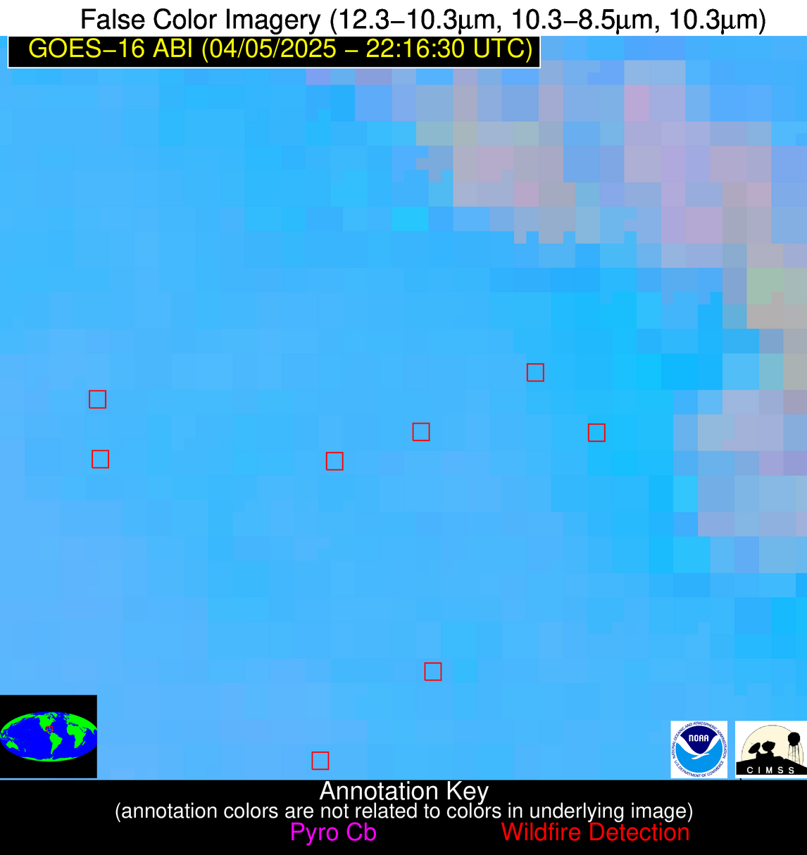
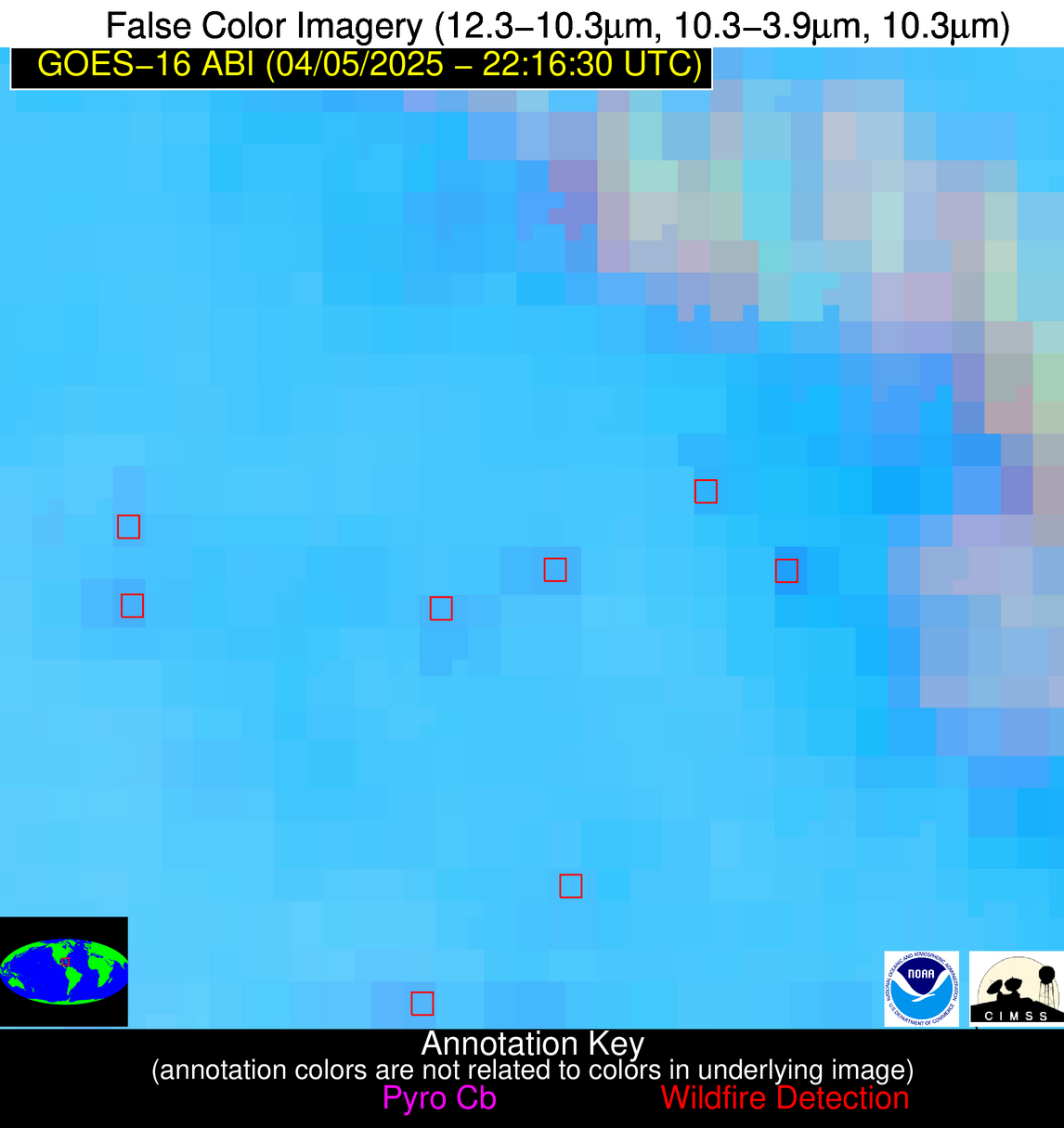
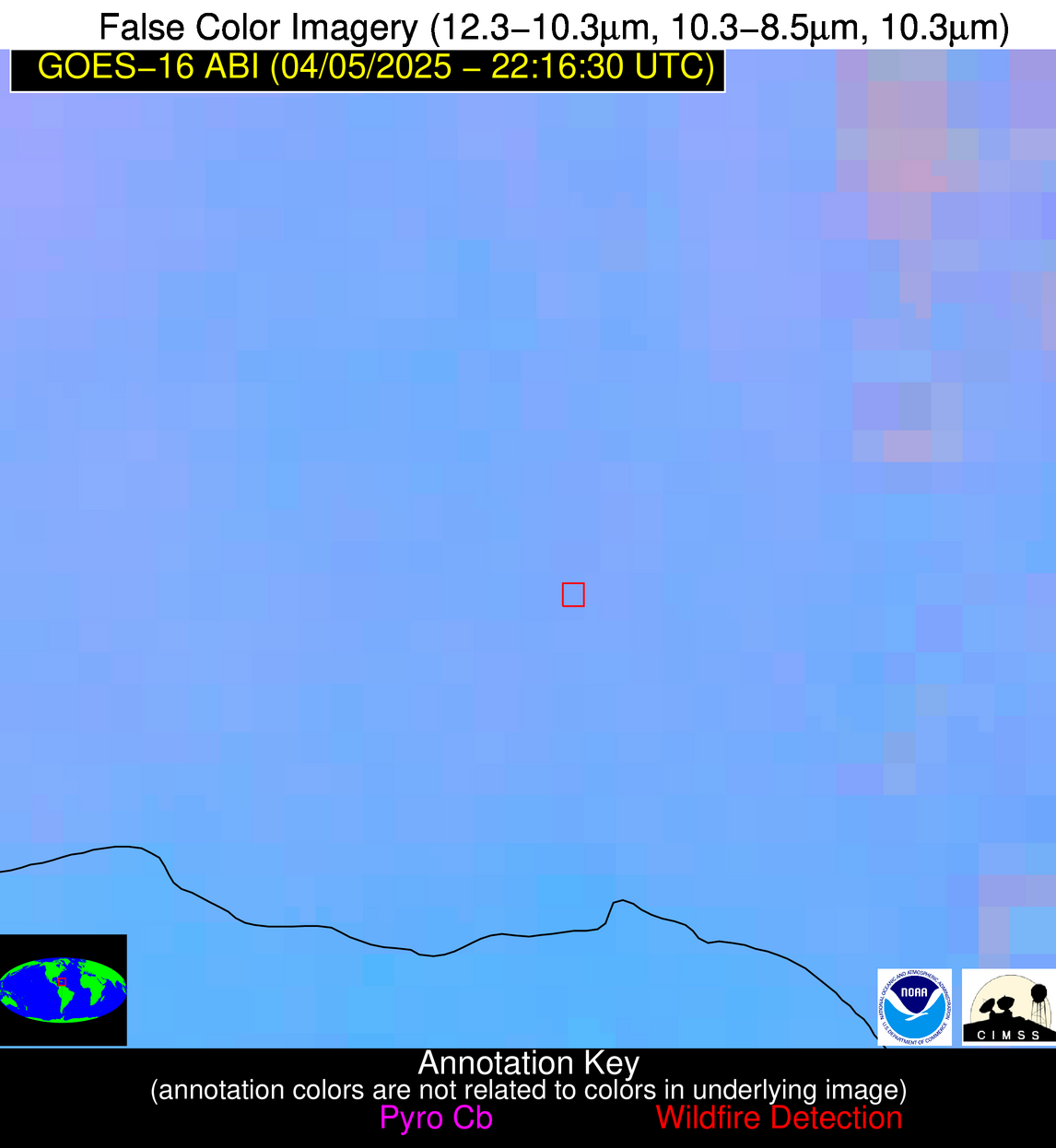
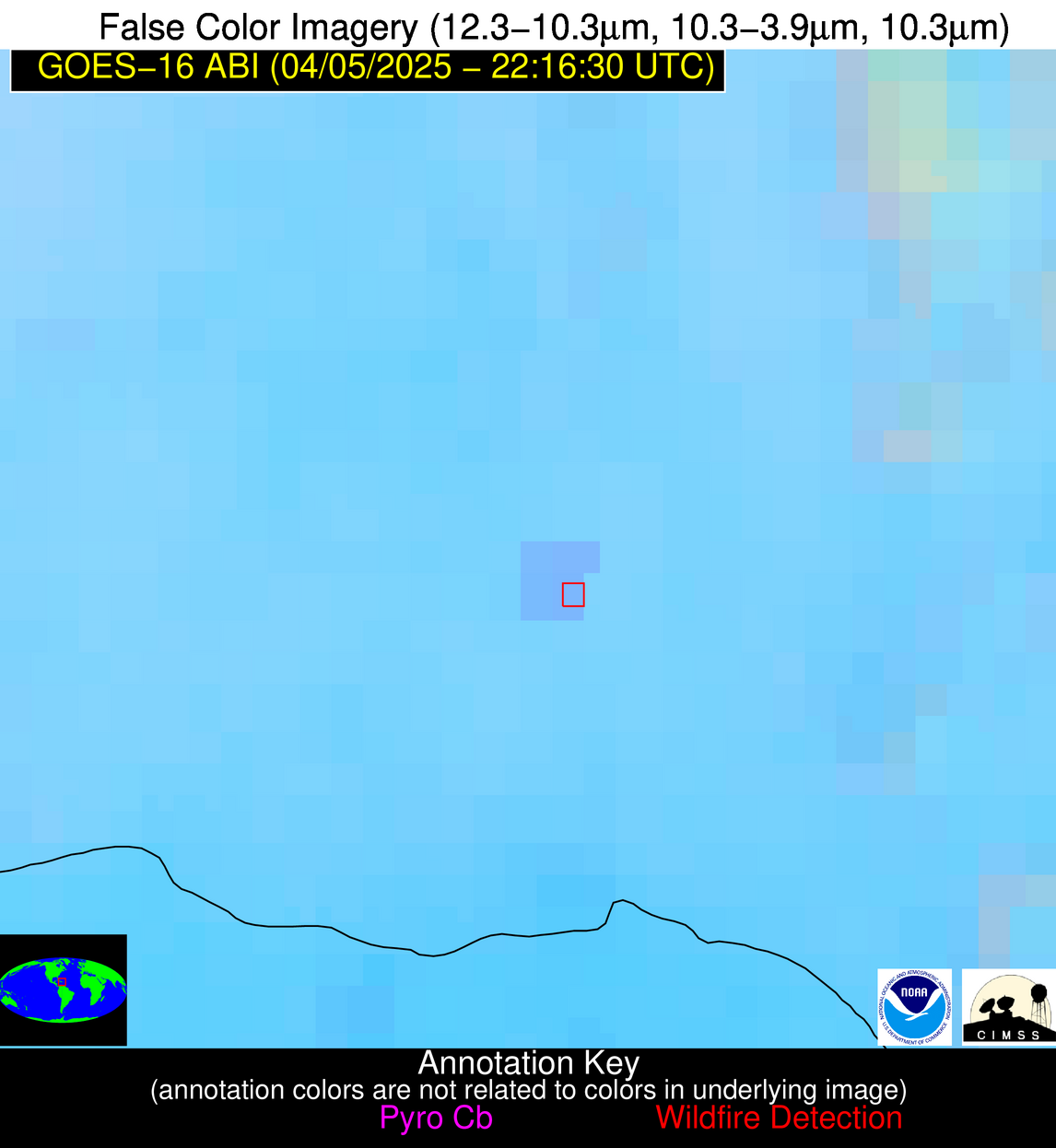
| Number Of Thermal Anomaly Alerts: | 4 |
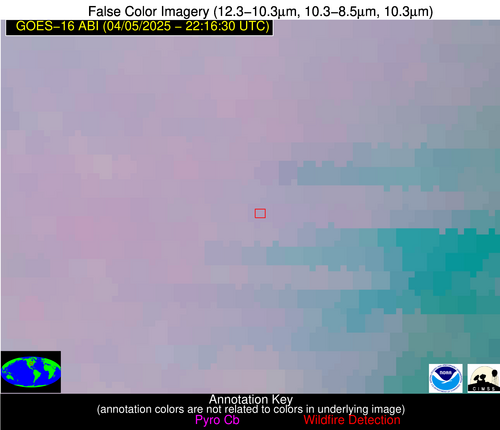
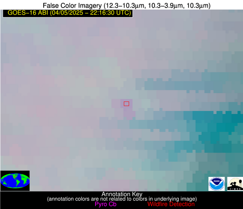
Possible Wildfire
| Basic Information | |
|---|---|
| State/Province(s) | IA |
| Country/Countries | United States |
| County/Locality(s) | Mahaska County, IA |
| NWS WFO | Des Moines IA |
| Identification Method | Enhanced Contextual (Clear) |
| Mean Object Date/Time | 2025-04-05 22:16:51UTC |
| Radiative Center (Lat, Lon): | 41.475277°, -92.514999° |
| Nearby Counties (meeting alert criteria): |
|
| Total Radiative Power Anomaly | n/a |
| Total Radiative Power | 8.29 MW |
| Map: | |
| Additional Information | |
| Alert Status | New Feature |
| Type of Event | Nominal Risk |
| Event Priority Ranking | 4 |
| Maximum Observed BT (3.9 um) | 288.99 K |
| Observed - Background BT (3.9 um) | 3.51 K |
| BT Anomaly (3.9 um) | 6.26 K |
| Maximum Observed - Clear RTM BT (3.9 um) | 13.58 K |
| Maximum Observed BTD (3.9-10/11/12 um) | 9.37 K |
| Observed - Background BTD (3.9-10/11/12 um) | 3.18 K |
| BTD Anomaly (3.9-10/11/12 um) | 3.86 K |
| Similar Pixel Count | 12 |
| BT Time Tendency (3.9 um) | 1.70 K |
| Image Interval | 5.00 minutes |
| Fraction of Surrounding LWIR Pixels that are Colder | 0.62 |
| Fraction of Surrounding Red Channel Pixels that are Brighter | 1.00 |
| Maximum Radiative Power | 8.29 MW |
| Maximum Radiative Power Uncertainty | 0.00 MW |
| Total Radiative Power Uncertainty | 0.00 MW |
| Mean Viewing Angle | 51.30° |
| Mean Solar Zenith Angle | 64.60° |
| Mean Glint Angle | 67.80° |
| Water Fraction | 0.00 |
| Total Pixel Area | 6.40 km2 |
| Latest Satellite Imagery: | |
| View all event imagery » | |
Possible Wildfire
| Basic Information | |
|---|---|
| State/Province(s) | GA |
| Country/Countries | United States |
| County/Locality(s) | Jasper County, GA |
| NWS WFO | Peachtree City GA |
| Identification Method | Enhanced Contextual (Clear) |
| Mean Object Date/Time | 2025-04-05 22:17:21UTC |
| Radiative Center (Lat, Lon): | 33.368889°, -83.539444° |
| Nearby Counties (meeting alert criteria): |
|
| Total Radiative Power Anomaly | n/a |
| Total Radiative Power | 10.61 MW |
| Map: | |
| Additional Information | |
| Alert Status | New Feature |
| Type of Event | Nominal Risk |
| Event Priority Ranking | 4 |
| Maximum Observed BT (3.9 um) | 302.12 K |
| Observed - Background BT (3.9 um) | 3.59 K |
| BT Anomaly (3.9 um) | 6.66 K |
| Maximum Observed - Clear RTM BT (3.9 um) | 6.72 K |
| Maximum Observed BTD (3.9-10/11/12 um) | 12.03 K |
| Observed - Background BTD (3.9-10/11/12 um) | 4.72 K |
| BTD Anomaly (3.9-10/11/12 um) | 6.10 K |
| Similar Pixel Count | 10 |
| BT Time Tendency (3.9 um) | 0.70 K |
| Image Interval | 5.00 minutes |
| Fraction of Surrounding LWIR Pixels that are Colder | 0.68 |
| Fraction of Surrounding Red Channel Pixels that are Brighter | 0.99 |
| Maximum Radiative Power | 10.61 MW |
| Maximum Radiative Power Uncertainty | 0.00 MW |
| Total Radiative Power Uncertainty | 0.00 MW |
| Mean Viewing Angle | 40.00° |
| Mean Solar Zenith Angle | 70.10° |
| Mean Glint Angle | 69.80° |
| Water Fraction | 0.00 |
| Total Pixel Area | 5.20 km2 |
| Latest Satellite Imagery: | |
| View all event imagery » | |
Possible Wildfire
| Basic Information | |
|---|---|
| State/Province(s) | Unknown |
| Country/Countries | Cuba |
| County/Locality(s) | Unknown, Unknown |
| NWS WFO | N/A |
| Identification Method | Enhanced Contextual (Clear) |
| Mean Object Date/Time | 2025-04-05 22:18:22UTC |
| Radiative Center (Lat, Lon): | 22.396389°, -80.756668° |
| Nearby Counties (meeting alert criteria): |
|
| Total Radiative Power Anomaly | n/a |
| Total Radiative Power | 6.80 MW |
| Map: | |
| Additional Information | |
| Alert Status | New Feature |
| Type of Event | Nominal Risk |
| Event Priority Ranking | 4 |
| Maximum Observed BT (3.9 um) | 304.68 K |
| Observed - Background BT (3.9 um) | 2.75 K |
| BT Anomaly (3.9 um) | 3.03 K |
| Maximum Observed - Clear RTM BT (3.9 um) | 4.82 K |
| Maximum Observed BTD (3.9-10/11/12 um) | 8.48 K |
| Observed - Background BTD (3.9-10/11/12 um) | 2.38 K |
| BTD Anomaly (3.9-10/11/12 um) | 3.64 K |
| Similar Pixel Count | 18 |
| BT Time Tendency (3.9 um) | 1.00 K |
| Image Interval | 5.00 minutes |
| Fraction of Surrounding LWIR Pixels that are Colder | 0.69 |
| Fraction of Surrounding Red Channel Pixels that are Brighter | 1.00 |
| Maximum Radiative Power | 6.80 MW |
| Maximum Radiative Power Uncertainty | 0.00 MW |
| Total Radiative Power Uncertainty | 0.00 MW |
| Mean Viewing Angle | 27.00° |
| Mean Solar Zenith Angle | 71.80° |
| Mean Glint Angle | 68.20° |
| Water Fraction | 0.00 |
| Total Pixel Area | 4.50 km2 |
| Latest Satellite Imagery: | |
| View all event imagery » | |
Possible Wildfire
| Basic Information | |
|---|---|
| State/Province(s) | Unknown |
| Country/Countries | Dominican Republic |
| County/Locality(s) | Unknown, Unknown |
| NWS WFO | N/A |
| Identification Method | Enhanced Contextual (Clear) |
| Mean Object Date/Time | 2025-04-05 22:18:53UTC |
| Radiative Center (Lat, Lon): | 18.580278°, -68.985558° |
| Nearby Counties (meeting alert criteria): |
|
| Total Radiative Power Anomaly | n/a |
| Total Radiative Power | 30.79 MW |
| Map: | |
| Additional Information | |
| Alert Status | New Feature |
| Type of Event | Nominal Risk |
| Event Priority Ranking | 4 |
| Maximum Observed BT (3.9 um) | 300.17 K |
| Observed - Background BT (3.9 um) | 3.87 K |
| BT Anomaly (3.9 um) | 7.43 K |
| Maximum Observed - Clear RTM BT (3.9 um) | 3.85 K |
| Maximum Observed BTD (3.9-10/11/12 um) | 6.84 K |
| Observed - Background BTD (3.9-10/11/12 um) | 3.78 K |
| BTD Anomaly (3.9-10/11/12 um) | 10.09 K |
| Similar Pixel Count | 4 |
| BT Time Tendency (3.9 um) | 2.60 K |
| Image Interval | 5.00 minutes |
| Fraction of Surrounding LWIR Pixels that are Colder | 0.59 |
| Fraction of Surrounding Red Channel Pixels that are Brighter | 1.00 |
| Maximum Radiative Power | 8.57 MW |
| Maximum Radiative Power Uncertainty | 0.00 MW |
| Total Radiative Power Uncertainty | 0.00 MW |
| Mean Viewing Angle | 23.10° |
| Mean Solar Zenith Angle | 82.90° |
| Mean Glint Angle | 89.60° |
| Water Fraction | 0.00 |
| Total Pixel Area | 17.40 km2 |
| Latest Satellite Imagery: | |
| View all event imagery » | |
