Wildfire Alert Report
| Date: | 2025-04-05 |
|---|---|
| Time: | 01:51:17 |
| Production Date and Time: | 2025-04-05 01:55:55 UTC |
| Primary Instrument: | GOES-16 ABI |
| Wmo Spacecraft Id: | 152 |
| Location/orbit: | GEO |
| L1 File: | OR_ABI-L1b-RadC-M6C14_G16_s20250950151172_e20250950153545_c20250950154026.nc |
| L1 File(s) - Temporal | OR_ABI-L1b-RadC-M6C14_G16_s20250950146172_e20250950148546_c20250950149023.nc |
| Number Of Thermal Anomaly Alerts: | 4 |
Possible Wildfire
| Basic Information | |
|---|---|
| State/Province(s) | ID |
| Country/Countries | United States |
| County/Locality(s) | Caribou County, ID |
| NWS WFO | Pocatello ID |
| Identification Method | Enhanced Contextual (Clear) |
| Mean Object Date/Time | 2025-04-05 01:51:49UTC |
| Radiative Center (Lat, Lon): | 42.695835°, -111.584724° |
| Nearby Counties (meeting alert criteria): |
|
| Total Radiative Power Anomaly | n/a |
| Total Radiative Power | 42.09 MW |
| Map: | |
| Additional Information | |
| Alert Status | New Feature |
| Type of Event | Ferrous-metal |
| Event Priority Ranking | 5 |
| Maximum Observed BT (3.9 um) | 280.21 K |
| Observed - Background BT (3.9 um) | 10.98 K |
| BT Anomaly (3.9 um) | 8.42 K |
| Maximum Observed - Clear RTM BT (3.9 um) | 9.07 K |
| Maximum Observed BTD (3.9-10/11/12 um) | 11.67 K |
| Observed - Background BTD (3.9-10/11/12 um) | 10.83 K |
| BTD Anomaly (3.9-10/11/12 um) | 37.52 K |
| Similar Pixel Count | 2 |
| BT Time Tendency (3.9 um) | 4.70 K |
| Image Interval | 5.00 minutes |
| Fraction of Surrounding LWIR Pixels that are Colder | 0.65 |
| Fraction of Surrounding Red Channel Pixels that are Brighter | 1.00 |
| Maximum Radiative Power | 28.56 MW |
| Maximum Radiative Power Uncertainty | 0.00 MW |
| Total Radiative Power Uncertainty | 0.00 MW |
| Mean Viewing Angle | 61.60° |
| Mean Solar Zenith Angle | 90.20° |
| Mean Glint Angle | 44.00° |
| Water Fraction | 0.00 |
| Total Pixel Area | 25.20 km2 |
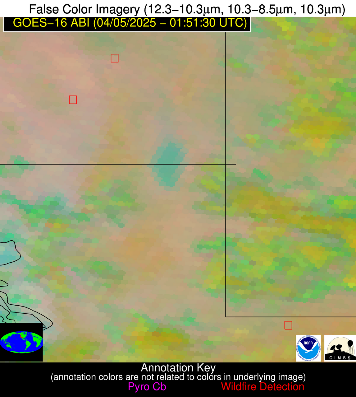
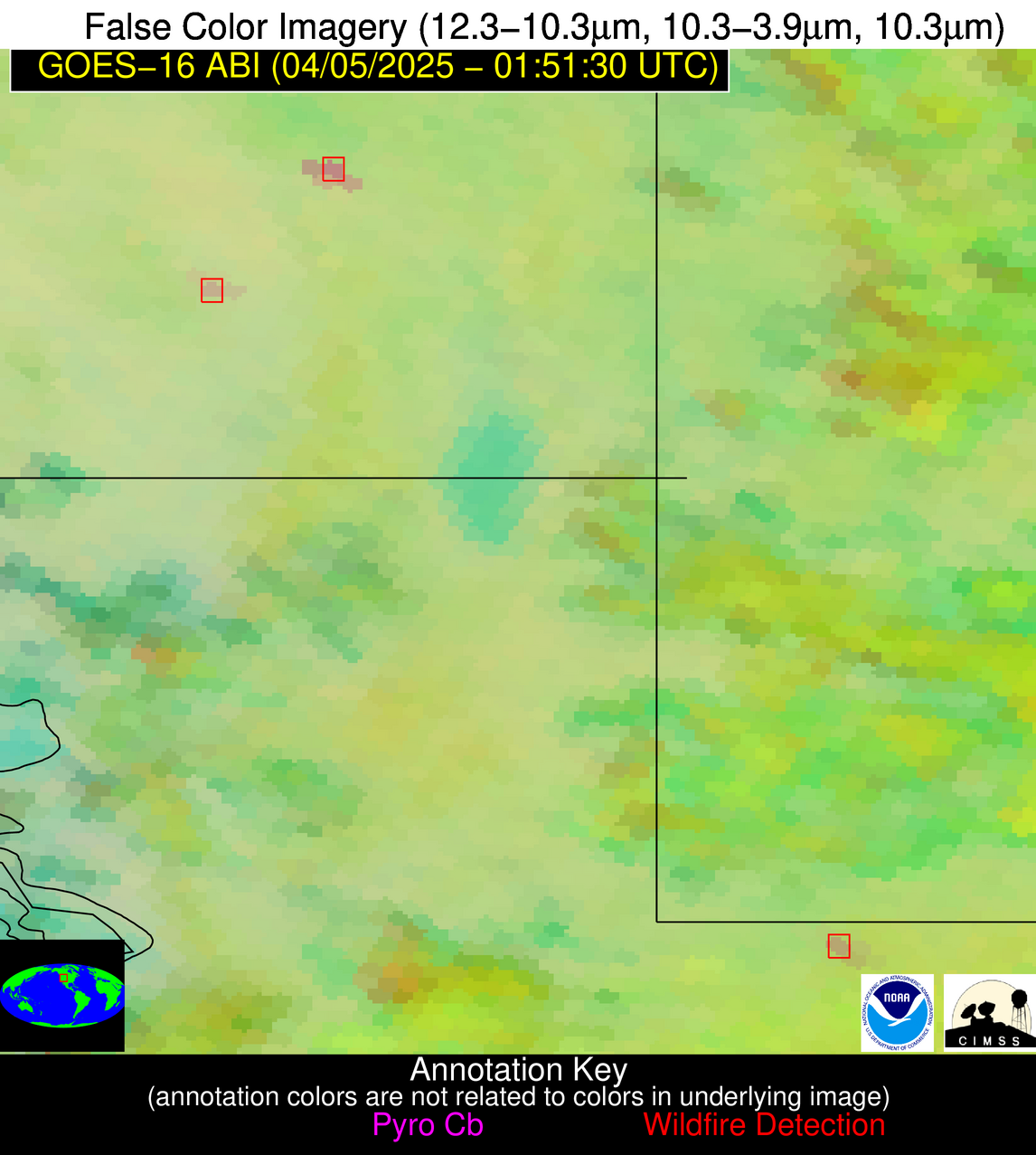
| Latest Satellite Imagery: | |
| View all event imagery » | |
Possible Wildfire
| Basic Information | |
|---|---|
| State/Province(s) | ID |
| Country/Countries | United States |
| County/Locality(s) | Caribou County, ID |
| NWS WFO | Pocatello ID |
| Identification Method | Enhanced Contextual (Clear) |
| Mean Object Date/Time | 2025-04-05 01:51:49UTC |
| Radiative Center (Lat, Lon): | 42.422501°, -111.785835° |
| Nearby Counties (meeting alert criteria): |
|
| Total Radiative Power Anomaly | n/a |
| Total Radiative Power | 9.39 MW |
| Map: | |
| Additional Information | |
| Alert Status | New Feature |
| Type of Event | Nominal Risk |
| Event Priority Ranking | 4 |
| Maximum Observed BT (3.9 um) | 277.02 K |
| Observed - Background BT (3.9 um) | 5.74 K |
| BT Anomaly (3.9 um) | 6.32 K |
| Maximum Observed - Clear RTM BT (3.9 um) | 3.32 K |
| Maximum Observed BTD (3.9-10/11/12 um) | 6.31 K |
| Observed - Background BTD (3.9-10/11/12 um) | 5.53 K |
| BTD Anomaly (3.9-10/11/12 um) | 20.43 K |
| Similar Pixel Count | 1 |
| BT Time Tendency (3.9 um) | 3.00 K |
| Image Interval | 5.00 minutes |
| Fraction of Surrounding LWIR Pixels that are Colder | 0.64 |
| Fraction of Surrounding Red Channel Pixels that are Brighter | 1.00 |
| Maximum Radiative Power | 9.39 MW |
| Maximum Radiative Power Uncertainty | 0.00 MW |
| Total Radiative Power Uncertainty | 0.00 MW |
| Mean Viewing Angle | 61.50° |
| Mean Solar Zenith Angle | 90.10° |
| Mean Glint Angle | 43.80° |
| Water Fraction | 0.00 |
| Total Pixel Area | 8.40 km2 |
| Latest Satellite Imagery: | |
| View all event imagery » | |
Possible Wildfire
| Basic Information | |
|---|---|
| State/Province(s) | UT |
| Country/Countries | United States |
| County/Locality(s) | Summit County, UT |
| NWS WFO | Salt Lake City UT |
| Identification Method | Enhanced Contextual (Clear) |
| Mean Object Date/Time | 2025-04-05 01:51:49UTC |
| Radiative Center (Lat, Lon): | 40.945557°, -110.748055° |
| Nearby Counties (meeting alert criteria): |
|
| Total Radiative Power Anomaly | n/a |
| Total Radiative Power | 8.71 MW |
| Map: | |
| Additional Information | |
| Alert Status | New Feature |
| Type of Event | Nominal Risk |
| Event Priority Ranking | 4 |
| Maximum Observed BT (3.9 um) | 272.41 K |
| Observed - Background BT (3.9 um) | 6.53 K |
| BT Anomaly (3.9 um) | 4.18 K |
| Maximum Observed - Clear RTM BT (3.9 um) | 6.27 K |
| Maximum Observed BTD (3.9-10/11/12 um) | 7.77 K |
| Observed - Background BTD (3.9-10/11/12 um) | 6.46 K |
| BTD Anomaly (3.9-10/11/12 um) | 10.77 K |
| Similar Pixel Count | 1 |
| BT Time Tendency (3.9 um) | 0.40 K |
| Image Interval | 5.00 minutes |
| Fraction of Surrounding LWIR Pixels that are Colder | 0.77 |
| Fraction of Surrounding Red Channel Pixels that are Brighter | 1.00 |
| Maximum Radiative Power | 8.71 MW |
| Maximum Radiative Power Uncertainty | 0.00 MW |
| Total Radiative Power Uncertainty | 0.00 MW |
| Mean Viewing Angle | 59.80° |
| Mean Solar Zenith Angle | 91.00° |
| Mean Glint Angle | 45.20° |
| Water Fraction | 0.00 |
| Total Pixel Area | 7.90 km2 |
| Latest Satellite Imagery: | |
| View all event imagery » | |
Possible Wildfire
| Basic Information | |
|---|---|
| State/Province(s) | NC |
| Country/Countries | United States |
| County/Locality(s) | Alamance County, NC |
| NWS WFO | Raleigh NC |
| Identification Method | Enhanced Contextual (Clear) |
| Mean Object Date/Time | 2025-04-05 01:52:22UTC |
| Radiative Center (Lat, Lon): | 35.920277°, -79.400833° |
| Nearby Counties (meeting alert criteria): |
|
| Total Radiative Power Anomaly | n/a |
| Total Radiative Power | 5.24 MW |
| Map: | |
| Additional Information | |
| Alert Status | New Feature |
| Type of Event | Nominal Risk |
| Event Priority Ranking | 4 |
| Maximum Observed BT (3.9 um) | 294.11 K |
| Observed - Background BT (3.9 um) | 2.17 K |
| BT Anomaly (3.9 um) | 5.95 K |
| Maximum Observed - Clear RTM BT (3.9 um) | 3.87 K |
| Maximum Observed BTD (3.9-10/11/12 um) | 4.59 K |
| Observed - Background BTD (3.9-10/11/12 um) | 1.86 K |
| BTD Anomaly (3.9-10/11/12 um) | 3.22 K |
| Similar Pixel Count | 2 |
| BT Time Tendency (3.9 um) | 0.70 K |
| Image Interval | 5.00 minutes |
| Fraction of Surrounding LWIR Pixels that are Colder | 0.59 |
| Fraction of Surrounding Red Channel Pixels that are Brighter | 1.00 |
| Maximum Radiative Power | 5.24 MW |
| Maximum Radiative Power Uncertainty | 0.00 MW |
| Total Radiative Power Uncertainty | 0.00 MW |
| Mean Viewing Angle | 42.10° |
| Mean Solar Zenith Angle | 115.80° |
| Mean Glint Angle | 88.30° |
| Water Fraction | 0.00 |
| Total Pixel Area | 5.40 km2 |
| Latest Satellite Imagery: | |
| View all event imagery » | |


