Wildfire Alert Report
| Date: | 2025-04-04 |
|---|---|
| Time: | 18:31:17 |
| Production Date and Time: | 2025-04-04 18:36:09 UTC |
| Primary Instrument: | GOES-16 ABI |
| Wmo Spacecraft Id: | 152 |
| Location/orbit: | GEO |
| L1 File: | OR_ABI-L1b-RadC-M6C14_G16_s20250941831172_e20250941833545_c20250941834017.nc |
| L1 File(s) - Temporal | OR_ABI-L1b-RadC-M6C14_G16_s20250941826172_e20250941828546_c20250941829037.nc |
| Number Of Thermal Anomaly Alerts: | 3 |
Possible Wildfire
| Basic Information | |
|---|---|
| State/Province(s) | CA |
| Country/Countries | United States |
| County/Locality(s) | El Dorado County, CA |
| NWS WFO | Sacramento CA |
| Identification Method | Enhanced Contextual (Clear) |
| Mean Object Date/Time | 2025-04-04 18:31:48UTC |
| Radiative Center (Lat, Lon): | 38.720833°, -120.465553° |
| Nearby Counties (meeting alert criteria): |
|
| Total Radiative Power Anomaly | n/a |
| Total Radiative Power | 33.89 MW |
| Map: | |
| Additional Information | |
| Alert Status | New Feature |
| Type of Event | Nominal Risk |
| Event Priority Ranking | 4 |
| Maximum Observed BT (3.9 um) | 294.78 K |
| Observed - Background BT (3.9 um) | 8.82 K |
| BT Anomaly (3.9 um) | 4.02 K |
| Maximum Observed - Clear RTM BT (3.9 um) | 14.04 K |
| Maximum Observed BTD (3.9-10/11/12 um) | 13.70 K |
| Observed - Background BTD (3.9-10/11/12 um) | 8.71 K |
| BTD Anomaly (3.9-10/11/12 um) | 6.97 K |
| Similar Pixel Count | 1 |
| BT Time Tendency (3.9 um) | 1.20 K |
| Image Interval | 5.00 minutes |
| Fraction of Surrounding LWIR Pixels that are Colder | 0.55 |
| Fraction of Surrounding Red Channel Pixels that are Brighter | 0.41 |
| Maximum Radiative Power | 33.89 MW |
| Maximum Radiative Power Uncertainty | 0.00 MW |
| Total Radiative Power Uncertainty | 0.00 MW |
| Mean Viewing Angle | 64.80° |
| Mean Solar Zenith Angle | 39.60° |
| Mean Glint Angle | 102.40° |
| Water Fraction | 0.00 |
| Total Pixel Area | 9.40 km2 |
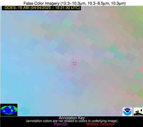
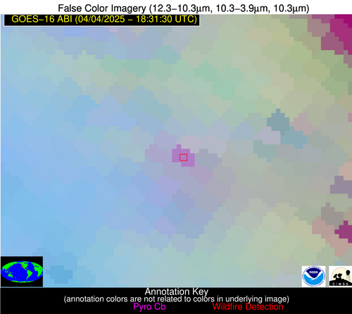
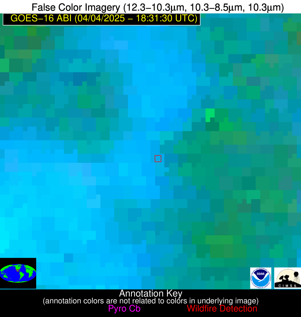
| Latest Satellite Imagery: | |
| View all event imagery » | |
Possible Wildfire
| Basic Information | |
|---|---|
| State/Province(s) | NC |
| Country/Countries | United States |
| County/Locality(s) | Hoke County, NC |
| NWS WFO | Raleigh NC |
| Identification Method | Enhanced Contextual (Clear) |
| Mean Object Date/Time | 2025-04-04 18:32:22UTC |
| Radiative Center (Lat, Lon): | 35.072777°, -79.301666° |
| Nearby Counties (meeting alert criteria): |
|
| Total Radiative Power Anomaly | n/a |
| Total Radiative Power | 21.25 MW |
| Map: | |
| Additional Information | |
| Alert Status | New Feature |
| Type of Event | Nominal Risk |
| Event Priority Ranking | 4 |
| Maximum Observed BT (3.9 um) | 312.11 K |
| Observed - Background BT (3.9 um) | 4.12 K |
| BT Anomaly (3.9 um) | 3.52 K |
| Maximum Observed - Clear RTM BT (3.9 um) | 10.66 K |
| Maximum Observed BTD (3.9-10/11/12 um) | 19.09 K |
| Observed - Background BTD (3.9-10/11/12 um) | 3.73 K |
| BTD Anomaly (3.9-10/11/12 um) | 3.20 K |
| Similar Pixel Count | 25 |
| BT Time Tendency (3.9 um) | 2.30 K |
| Image Interval | 5.00 minutes |
| Fraction of Surrounding LWIR Pixels that are Colder | 0.79 |
| Fraction of Surrounding Red Channel Pixels that are Brighter | 0.97 |
| Maximum Radiative Power | 21.25 MW |
| Maximum Radiative Power Uncertainty | 0.00 MW |
| Total Radiative Power Uncertainty | 0.00 MW |
| Mean Viewing Angle | 41.10° |
| Mean Solar Zenith Angle | 34.00° |
| Mean Glint Angle | 70.10° |
| Water Fraction | 0.00 |
| Total Pixel Area | 5.30 km2 |
| Latest Satellite Imagery: | |
| View all event imagery » | |
Possible Wildfire
| Basic Information | |
|---|---|
| State/Province(s) | Tamaulipas |
| Country/Countries | Mexico |
| County/Locality(s) | Aldama, Tamaulipas |
| NWS WFO | N/A |
| Identification Method | Enhanced Contextual (Cloud) |
| Mean Object Date/Time | 2025-04-04 18:33:19UTC |
| Radiative Center (Lat, Lon): | 23.129444°, -98.126663° |
| Nearby Counties (meeting alert criteria): |
|
| Total Radiative Power Anomaly | n/a |
| Total Radiative Power | 77.85 MW |
| Map: | |
| Additional Information | |
| Alert Status | New Feature |
| Type of Event | Nominal Risk |
| Event Priority Ranking | 4 |
| Maximum Observed BT (3.9 um) | 315.14 K |
| Observed - Background BT (3.9 um) | 12.80 K |
| BT Anomaly (3.9 um) | 5.71 K |
| Maximum Observed - Clear RTM BT (3.9 um) | 8.81 K |
| Maximum Observed BTD (3.9-10/11/12 um) | 32.27 K |
| Observed - Background BTD (3.9-10/11/12 um) | 12.95 K |
| BTD Anomaly (3.9-10/11/12 um) | 5.03 K |
| Similar Pixel Count | 0 |
| BT Time Tendency (3.9 um) | 5.50 K |
| Image Interval | 5.00 minutes |
| Fraction of Surrounding LWIR Pixels that are Colder | 0.71 |
| Fraction of Surrounding Red Channel Pixels that are Brighter | 0.84 |
| Maximum Radiative Power | 77.85 MW |
| Maximum Radiative Power Uncertainty | 0.00 MW |
| Total Radiative Power Uncertainty | 0.00 MW |
| Mean Viewing Angle | 37.30° |
| Mean Solar Zenith Angle | 17.90° |
| Mean Glint Angle | 51.60° |
| Water Fraction | 0.00 |
| Total Pixel Area | 5.00 km2 |
| Latest Satellite Imagery: | |
| View all event imagery » | |
