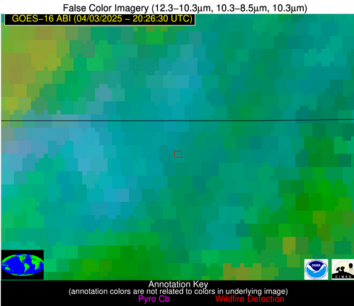
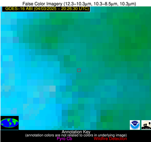
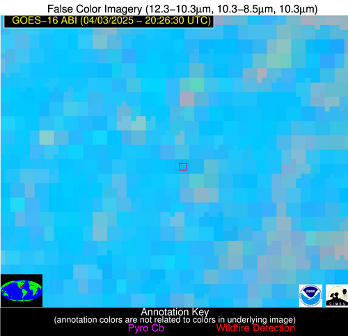
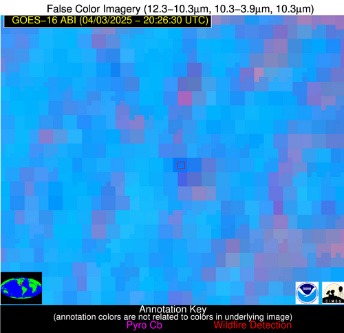
Wildfire Alert Report
| Date: | 2025-04-03 |
|---|---|
| Time: | 20:26:17 |
| Production Date and Time: | 2025-04-03 20:31:08 UTC |
| Primary Instrument: | GOES-16 ABI |
| Wmo Spacecraft Id: | 152 |
| Location/orbit: | GEO |
| L1 File: | OR_ABI-L1b-RadC-M6C14_G16_s20250932026172_e20250932028545_c20250932029027.nc |
| L1 File(s) - Temporal | OR_ABI-L1b-RadC-M6C14_G16_s20250932021172_e20250932023545_c20250932024048.nc |
| Number Of Thermal Anomaly Alerts: | 6 |
Possible Wildfire
| Basic Information | |
|---|---|
| State/Province(s) | MO |
| Country/Countries | United States |
| County/Locality(s) | Putnam County, MO |
| NWS WFO | Kansas City/Pleasant Hill MO |
| Identification Method | Enhanced Contextual (Clear) |
| Mean Object Date/Time | 2025-04-03 20:26:51UTC |
| Radiative Center (Lat, Lon): | 40.519165°, -93.146385° |
| Nearby Counties (meeting alert criteria): |
|
| Total Radiative Power Anomaly | n/a |
| Total Radiative Power | 43.53 MW |
| Map: | |
| Additional Information | |
| Alert Status | New Feature |
| Type of Event | Nominal Risk |
| Event Priority Ranking | 4 |
| Maximum Observed BT (3.9 um) | 292.06 K |
| Observed - Background BT (3.9 um) | 7.95 K |
| BT Anomaly (3.9 um) | 4.10 K |
| Maximum Observed - Clear RTM BT (3.9 um) | 11.92 K |
| Maximum Observed BTD (3.9-10/11/12 um) | 28.72 K |
| Observed - Background BTD (3.9-10/11/12 um) | 7.74 K |
| BTD Anomaly (3.9-10/11/12 um) | 3.50 K |
| Similar Pixel Count | 19 |
| BT Time Tendency (3.9 um) | 8.70 K |
| Image Interval | 5.00 minutes |
| Fraction of Surrounding LWIR Pixels that are Colder | 0.67 |
| Fraction of Surrounding Red Channel Pixels that are Brighter | 0.98 |
| Maximum Radiative Power | 24.25 MW |
| Maximum Radiative Power Uncertainty | 0.00 MW |
| Total Radiative Power Uncertainty | 0.00 MW |
| Mean Viewing Angle | 50.50° |
| Mean Solar Zenith Angle | 46.10° |
| Mean Glint Angle | 73.10° |
| Water Fraction | 0.00 |
| Total Pixel Area | 12.60 km2 |
| Latest Satellite Imagery: | |
| View all event imagery » | |
Possible Wildfire
| Basic Information | |
|---|---|
| State/Province(s) | NC |
| Country/Countries | United States |
| County/Locality(s) | Hoke County, NC |
| NWS WFO | Raleigh NC |
| Identification Method | Enhanced Contextual (Cloud) |
| Mean Object Date/Time | 2025-04-03 20:27:22UTC |
| Radiative Center (Lat, Lon): | 35.024166°, -79.413055° |
| Nearby Counties (meeting alert criteria): |
|
| Total Radiative Power Anomaly | n/a |
| Total Radiative Power | 39.09 MW |
| Map: | |
| Additional Information | |
| Alert Status | New Feature |
| Type of Event | Nominal Risk |
| Event Priority Ranking | 4 |
| Maximum Observed BT (3.9 um) | 300.13 K |
| Observed - Background BT (3.9 um) | 7.20 K |
| BT Anomaly (3.9 um) | 5.25 K |
| Maximum Observed - Clear RTM BT (3.9 um) | 4.78 K |
| Maximum Observed BTD (3.9-10/11/12 um) | 34.14 K |
| Observed - Background BTD (3.9-10/11/12 um) | 7.01 K |
| BTD Anomaly (3.9-10/11/12 um) | 5.63 K |
| Similar Pixel Count | 0 |
| BT Time Tendency (3.9 um) | 5.80 K |
| Image Interval | 5.00 minutes |
| Fraction of Surrounding LWIR Pixels that are Colder | 0.60 |
| Fraction of Surrounding Red Channel Pixels that are Brighter | 0.96 |
| Maximum Radiative Power | 39.09 MW |
| Maximum Radiative Power Uncertainty | 0.00 MW |
| Total Radiative Power Uncertainty | 0.00 MW |
| Mean Viewing Angle | 41.10° |
| Mean Solar Zenith Angle | 52.20° |
| Mean Glint Angle | 72.20° |
| Water Fraction | 0.00 |
| Total Pixel Area | 5.30 km2 |
| Latest Satellite Imagery: | |
| View all event imagery » | |
Possible Wildfire
| Basic Information | |
|---|---|
| State/Province(s) | AL |
| Country/Countries | United States |
| County/Locality(s) | Macon County, AL |
| NWS WFO | Birmingham AL |
| Identification Method | Enhanced Contextual (Clear) |
| Mean Object Date/Time | 2025-04-03 20:27:21UTC |
| Radiative Center (Lat, Lon): | 32.383610°, -85.740555° |
| Nearby Counties (meeting alert criteria): |
|
| Total Radiative Power Anomaly | n/a |
| Total Radiative Power | 22.71 MW |
| Map: | |
| Additional Information | |
| Alert Status | New Feature |
| Type of Event | Nominal Risk |
| Event Priority Ranking | 4 |
| Maximum Observed BT (3.9 um) | 308.12 K |
| Observed - Background BT (3.9 um) | 6.68 K |
| BT Anomaly (3.9 um) | 6.78 K |
| Maximum Observed - Clear RTM BT (3.9 um) | 10.65 K |
| Maximum Observed BTD (3.9-10/11/12 um) | 18.30 K |
| Observed - Background BTD (3.9-10/11/12 um) | 6.93 K |
| BTD Anomaly (3.9-10/11/12 um) | 4.93 K |
| Similar Pixel Count | 11 |
| BT Time Tendency (3.9 um) | 11.20 K |
| Image Interval | 5.00 minutes |
| Fraction of Surrounding LWIR Pixels that are Colder | 0.57 |
| Fraction of Surrounding Red Channel Pixels that are Brighter | 0.93 |
| Maximum Radiative Power | 22.71 MW |
| Maximum Radiative Power Uncertainty | 0.00 MW |
| Total Radiative Power Uncertainty | 0.00 MW |
| Mean Viewing Angle | 39.50° |
| Mean Solar Zenith Angle | 46.30° |
| Mean Glint Angle | 62.60° |
| Water Fraction | 0.00 |
| Total Pixel Area | 5.20 km2 |
| Latest Satellite Imagery: | |
| View all event imagery » | |
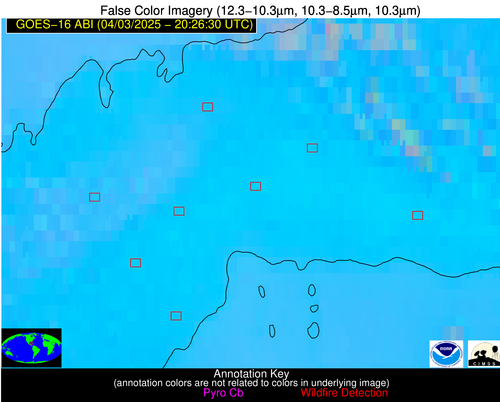
Possible Wildfire
| Basic Information | |
|---|---|
| State/Province(s) | Unknown |
| Country/Countries | Cuba |
| County/Locality(s) | Unknown, Unknown |
| NWS WFO | N/A |
| Identification Method | Enhanced Contextual (Clear) |
| Mean Object Date/Time | 2025-04-03 20:28:21UTC |
| Radiative Center (Lat, Lon): | 22.802778°, -82.701385° |
| Nearby Counties (meeting alert criteria): |
|
| Total Radiative Power Anomaly | n/a |
| Total Radiative Power | 17.47 MW |
| Map: | |
| Additional Information | |
| Alert Status | New Feature |
| Type of Event | Nominal Risk |
| Event Priority Ranking | 4 |
| Maximum Observed BT (3.9 um) | 315.30 K |
| Observed - Background BT (3.9 um) | 5.50 K |
| BT Anomaly (3.9 um) | 2.26 K |
| Maximum Observed - Clear RTM BT (3.9 um) | 10.37 K |
| Maximum Observed BTD (3.9-10/11/12 um) | 17.55 K |
| Observed - Background BTD (3.9-10/11/12 um) | 5.12 K |
| BTD Anomaly (3.9-10/11/12 um) | 3.03 K |
| Similar Pixel Count | 25 |
| BT Time Tendency (3.9 um) | 2.00 K |
| Image Interval | 5.00 minutes |
| Fraction of Surrounding LWIR Pixels that are Colder | 0.75 |
| Fraction of Surrounding Red Channel Pixels that are Brighter | 0.95 |
| Maximum Radiative Power | 17.47 MW |
| Maximum Radiative Power Uncertainty | 0.00 MW |
| Total Radiative Power Uncertainty | 0.00 MW |
| Mean Viewing Angle | 28.00° |
| Mean Solar Zenith Angle | 45.20° |
| Mean Glint Angle | 50.90° |
| Water Fraction | 0.00 |
| Total Pixel Area | 4.50 km2 |
| Latest Satellite Imagery: | |
| View all event imagery » | |
Possible Wildfire
| Basic Information | |
|---|---|
| State/Province(s) | Unknown |
| Country/Countries | Cuba |
| County/Locality(s) | Unknown, Unknown |
| NWS WFO | N/A |
| Identification Method | Enhanced Contextual (Clear) |
| Mean Object Date/Time | 2025-04-03 20:28:21UTC |
| Radiative Center (Lat, Lon): | 22.785833°, -83.203056° |
| Nearby Counties (meeting alert criteria): |
|
| Total Radiative Power Anomaly | n/a |
| Total Radiative Power | 28.08 MW |
| Map: | |
| Additional Information | |
| Alert Status | New Feature |
| Type of Event | Nominal Risk |
| Event Priority Ranking | 4 |
| Maximum Observed BT (3.9 um) | 311.04 K |
| Observed - Background BT (3.9 um) | 6.41 K |
| BT Anomaly (3.9 um) | 2.84 K |
| Maximum Observed - Clear RTM BT (3.9 um) | 11.44 K |
| Maximum Observed BTD (3.9-10/11/12 um) | 16.74 K |
| Observed - Background BTD (3.9-10/11/12 um) | 6.56 K |
| BTD Anomaly (3.9-10/11/12 um) | 4.40 K |
| Similar Pixel Count | 2 |
| BT Time Tendency (3.9 um) | 4.60 K |
| Image Interval | 5.00 minutes |
| Fraction of Surrounding LWIR Pixels that are Colder | 0.46 |
| Fraction of Surrounding Red Channel Pixels that are Brighter | 1.00 |
| Maximum Radiative Power | 28.08 MW |
| Maximum Radiative Power Uncertainty | 0.00 MW |
| Total Radiative Power Uncertainty | 0.00 MW |
| Mean Viewing Angle | 28.20° |
| Mean Solar Zenith Angle | 44.80° |
| Mean Glint Angle | 50.30° |
| Water Fraction | 0.00 |
| Total Pixel Area | 4.50 km2 |
| Latest Satellite Imagery: | |
| View all event imagery » | |
Possible Wildfire
| Basic Information | |
|---|---|
| State/Province(s) | Unknown |
| Country/Countries | Cuba |
| County/Locality(s) | Unknown, Unknown |
| NWS WFO | N/A |
| Identification Method | Enhanced Contextual (Clear) |
| Mean Object Date/Time | 2025-04-03 20:28:22UTC |
| Radiative Center (Lat, Lon): | 22.757223°, -82.196388° |
| Nearby Counties (meeting alert criteria): |
|
| Total Radiative Power Anomaly | n/a |
| Total Radiative Power | 11.68 MW |
| Map: | |
| Additional Information | |
| Alert Status | New Feature |
| Type of Event | Nominal Risk |
| Event Priority Ranking | 4 |
| Maximum Observed BT (3.9 um) | 315.04 K |
| Observed - Background BT (3.9 um) | 3.02 K |
| BT Anomaly (3.9 um) | 1.67 K |
| Maximum Observed - Clear RTM BT (3.9 um) | 10.03 K |
| Maximum Observed BTD (3.9-10/11/12 um) | 17.45 K |
| Observed - Background BTD (3.9-10/11/12 um) | 2.72 K |
| BTD Anomaly (3.9-10/11/12 um) | 2.14 K |
| Similar Pixel Count | 21 |
| BT Time Tendency (3.9 um) | 0.10 K |
| Image Interval | 5.00 minutes |
| Fraction of Surrounding LWIR Pixels that are Colder | 0.83 |
| Fraction of Surrounding Red Channel Pixels that are Brighter | 1.00 |
| Maximum Radiative Power | 11.68 MW |
| Maximum Radiative Power Uncertainty | 0.00 MW |
| Total Radiative Power Uncertainty | 0.00 MW |
| Mean Viewing Angle | 27.80° |
| Mean Solar Zenith Angle | 45.60° |
| Mean Glint Angle | 51.50° |
| Water Fraction | 0.00 |
| Total Pixel Area | 4.50 km2 |
| Latest Satellite Imagery: | |
| View all event imagery » | |
