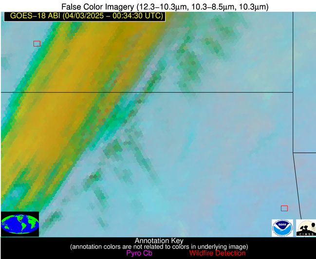
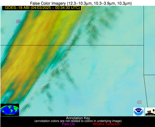
Wildfire Alert Report
| Date: | 2025-04-03 |
|---|---|
| Time: | 00:34:25 |
| Production Date and Time: | 2025-04-03 00:35:04 UTC |
| Primary Instrument: | GOES-18 ABI |
| Wmo Spacecraft Id: | 665 |
| Location/orbit: | GEO |
| L1 File: | OR_ABI-L1b-RadM1-M6C14_G18_s20250930034252_e20250930034309_c20250930034370.nc |
| L1 File(s) - Temporal | OR_ABI-L1b-RadM1-M6C14_G18_s20250930033252_e20250930033309_c20250930033357.nc |
| Number Of Thermal Anomaly Alerts: | 2 |
Possible Wildfire
| Basic Information | |
|---|---|
| State/Province(s) | KS |
| Country/Countries | United States |
| County/Locality(s) | Cowley County, KS |
| NWS WFO | Wichita KS |
| Identification Method | Enhanced Contextual (Clear) |
| Mean Object Date/Time | 2025-04-03 00:34:28UTC |
| Radiative Center (Lat, Lon): | 37.402779°, -96.984444° |
| Nearby Counties (meeting alert criteria): |
|
| Total Radiative Power Anomaly | n/a |
| Total Radiative Power | 34.42 MW |
| Map: | |
| Additional Information | |
| Alert Status | New Feature |
| Type of Event | Nominal Risk |
| Event Priority Ranking | 4 |
| Maximum Observed BT (3.9 um) | 294.26 K |
| Observed - Background BT (3.9 um) | 11.21 K |
| BT Anomaly (3.9 um) | 23.90 K |
| Maximum Observed - Clear RTM BT (3.9 um) | 11.23 K |
| Maximum Observed BTD (3.9-10/11/12 um) | 12.54 K |
| Observed - Background BTD (3.9-10/11/12 um) | 10.21 K |
| BTD Anomaly (3.9-10/11/12 um) | 25.43 K |
| Similar Pixel Count | 7 |
| BT Time Tendency (3.9 um) | 4.50 K |
| Image Interval | 1.00 minutes |
| Fraction of Surrounding LWIR Pixels that are Colder | 1.00 |
| Fraction of Surrounding Red Channel Pixels that are Brighter | 1.00 |
| Maximum Radiative Power | 34.42 MW |
| Maximum Radiative Power Uncertainty | 0.00 MW |
| Total Radiative Power Uncertainty | 0.00 MW |
| Mean Viewing Angle | 60.40° |
| Mean Solar Zenith Angle | 87.60° |
| Mean Glint Angle | 130.00° |
| Water Fraction | 0.00 |
| Total Pixel Area | 8.10 km2 |
| Latest Satellite Imagery: | |
| View all event imagery » | |
Possible Wildfire
| Basic Information | |
|---|---|
| State/Province(s) | OK |
| Country/Countries | United States |
| County/Locality(s) | Adair County, OK |
| NWS WFO | Tulsa OK |
| Identification Method | Enhanced Contextual (Clear) |
| Mean Object Date/Time | 2025-04-03 00:34:28UTC |
| Radiative Center (Lat, Lon): | 36.040554°, -94.696663° |
| Nearby Counties (meeting alert criteria): |
|
| Total Radiative Power Anomaly | n/a |
| Total Radiative Power | 18.66 MW |
| Map: | |
| Additional Information | |
| Alert Status | New Feature |
| Type of Event | Nominal Risk |
| Event Priority Ranking | 4 |
| Maximum Observed BT (3.9 um) | 289.81 K |
| Observed - Background BT (3.9 um) | 3.63 K |
| BT Anomaly (3.9 um) | 4.75 K |
| Maximum Observed - Clear RTM BT (3.9 um) | 5.40 K |
| Maximum Observed BTD (3.9-10/11/12 um) | 5.59 K |
| Observed - Background BTD (3.9-10/11/12 um) | 3.56 K |
| BTD Anomaly (3.9-10/11/12 um) | 14.18 K |
| Similar Pixel Count | 2 |
| BT Time Tendency (3.9 um) | 0.90 K |
| Image Interval | 1.00 minutes |
| Fraction of Surrounding LWIR Pixels that are Colder | 0.45 |
| Fraction of Surrounding Red Channel Pixels that are Brighter | 1.00 |
| Maximum Radiative Power | 18.66 MW |
| Maximum Radiative Power Uncertainty | 0.00 MW |
| Total Radiative Power Uncertainty | 0.00 MW |
| Mean Viewing Angle | 61.20° |
| Mean Solar Zenith Angle | 89.50° |
| Mean Glint Angle | 132.90° |
| Water Fraction | 0.00 |
| Total Pixel Area | 16.60 km2 |
| Latest Satellite Imagery: | |
| View all event imagery » | |


