Wildfire Alert Report
| Date: | 2025-03-31 |
|---|---|
| Time: | 20:23:24 |
| Production Date and Time: | 2025-03-31 20:24:07 UTC |
| Primary Instrument: | GOES-18 ABI |
| Wmo Spacecraft Id: | 665 |
| Location/orbit: | GEO |
| L1 File: | OR_ABI-L1b-RadM1-M6C14_G18_s20250902023249_e20250902023306_c20250902023373.nc |
| L1 File(s) - Temporal | OR_ABI-L1b-RadM1-M6C14_G18_s20250902021249_e20250902021306_c20250902021361.nc |
| Number Of Thermal Anomaly Alerts: | 2 |
Possible Wildfire
| Basic Information | |
|---|---|
| State/Province(s) | KS |
| Country/Countries | United States |
| County/Locality(s) | Cloud County, KS |
| NWS WFO | Topeka KS |
| Identification Method | Enhanced Contextual (Clear) |
| Mean Object Date/Time | 2025-03-31 20:23:26UTC |
| Radiative Center (Lat, Lon): | 39.363056°, -97.456665° |
| Nearby Counties (meeting alert criteria): |
|
| Total Radiative Power Anomaly | n/a |
| Total Radiative Power | 45.37 MW |
| Map: | |
| Additional Information | |
| Alert Status | New Feature |
| Type of Event | Nominal Risk |
| Event Priority Ranking | 4 |
| Maximum Observed BT (3.9 um) | 306.29 K |
| Observed - Background BT (3.9 um) | 3.03 K |
| BT Anomaly (3.9 um) | 1.78 K |
| Maximum Observed - Clear RTM BT (3.9 um) | 22.14 K |
| Maximum Observed BTD (3.9-10/11/12 um) | 17.88 K |
| Observed - Background BTD (3.9-10/11/12 um) | 3.75 K |
| BTD Anomaly (3.9-10/11/12 um) | 3.06 K |
| Similar Pixel Count | 25 |
| BT Time Tendency (3.9 um) | 1.40 K |
| Image Interval | 2.00 minutes |
| Fraction of Surrounding LWIR Pixels that are Colder | 0.24 |
| Fraction of Surrounding Red Channel Pixels that are Brighter | 1.00 |
| Maximum Radiative Power | 26.27 MW |
| Maximum Radiative Power Uncertainty | 0.00 MW |
| Total Radiative Power Uncertainty | 0.00 MW |
| Mean Viewing Angle | 61.40° |
| Mean Solar Zenith Angle | 43.40° |
| Mean Glint Angle | 104.10° |
| Water Fraction | 0.00 |
| Total Pixel Area | 16.70 km2 |
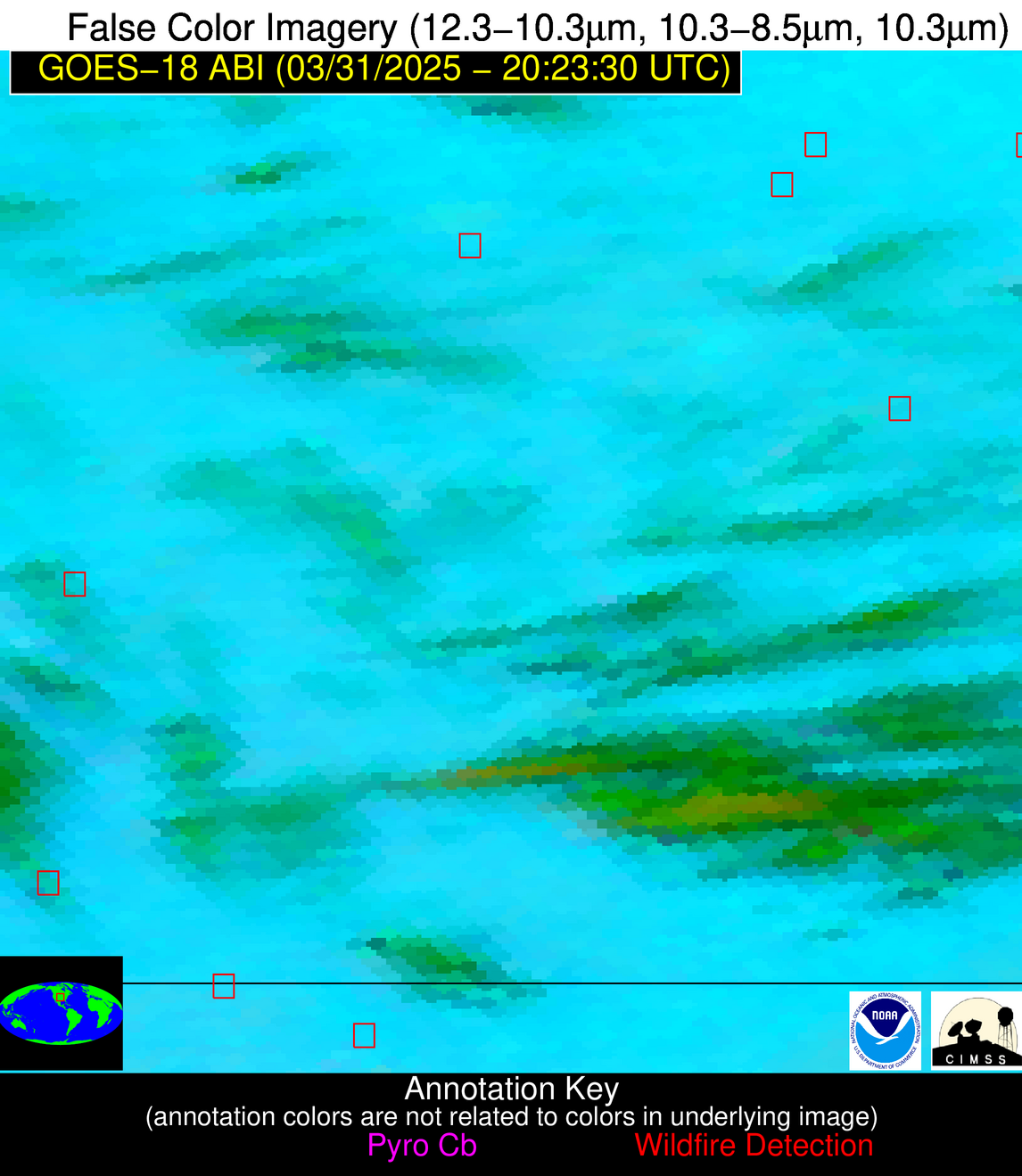
| Latest Satellite Imagery: | |
| View all event imagery » | |
Possible Wildfire
| Basic Information | |
|---|---|
| State/Province(s) | OK |
| Country/Countries | United States |
| County/Locality(s) | Alfalfa County, OK |
| NWS WFO | Norman OK |
| Identification Method | Enhanced Contextual (Cloud) |
| Mean Object Date/Time | 2025-03-31 20:23:26UTC |
| Radiative Center (Lat, Lon): | 36.992222°, -98.440002° |
| Nearby Counties (meeting alert criteria): |
|
| Total Radiative Power Anomaly | n/a |
| Total Radiative Power | 111.76 MW |
| Map: | |
| Additional Information | |
| Alert Status | New Feature |
| Type of Event | Nominal Risk |
| Event Priority Ranking | 4 |
| Maximum Observed BT (3.9 um) | 312.43 K |
| Observed - Background BT (3.9 um) | 11.39 K |
| BT Anomaly (3.9 um) | 6.99 K |
| Maximum Observed - Clear RTM BT (3.9 um) | 26.33 K |
| Maximum Observed BTD (3.9-10/11/12 um) | 23.63 K |
| Observed - Background BTD (3.9-10/11/12 um) | 11.53 K |
| BTD Anomaly (3.9-10/11/12 um) | 12.05 K |
| Similar Pixel Count | 0 |
| BT Time Tendency (3.9 um) | 9.80 K |
| Image Interval | 2.00 minutes |
| Fraction of Surrounding LWIR Pixels that are Colder | 0.50 |
| Fraction of Surrounding Red Channel Pixels that are Brighter | 0.98 |
| Maximum Radiative Power | 67.88 MW |
| Maximum Radiative Power Uncertainty | 0.00 MW |
| Total Radiative Power Uncertainty | 0.00 MW |
| Mean Viewing Angle | 59.10° |
| Mean Solar Zenith Angle | 41.10° |
| Mean Glint Angle | 99.60° |
| Water Fraction | 0.00 |
| Total Pixel Area | 15.60 km2 |
| Latest Satellite Imagery: | |
| View all event imagery » | |


