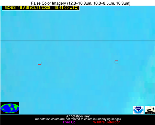
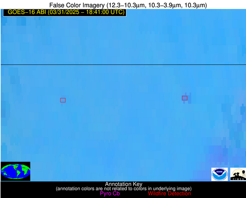
Wildfire Alert Report
| Date: | 2025-03-31 |
|---|---|
| Time: | 18:40:54 |
| Production Date and Time: | 2025-03-31 18:41:34 UTC |
| Primary Instrument: | GOES-16 ABI |
| Wmo Spacecraft Id: | 152 |
| Location/orbit: | GEO |
| L1 File: | OR_ABI-L1b-RadM2-M6C14_G16_s20250901840549_e20250901841006_c20250901841064.nc |
| L1 File(s) - Temporal | OR_ABI-L1b-RadM2-M6C14_G16_s20250901839549_e20250901840007_c20250901840061.nc |
| Number Of Thermal Anomaly Alerts: | 2 |
Possible Wildfire
| Basic Information | |
|---|---|
| State/Province(s) | AR |
| Country/Countries | United States |
| County/Locality(s) | Randolph County, AR |
| NWS WFO | Little Rock AR |
| Identification Method | Enhanced Contextual (Clear) |
| Mean Object Date/Time | 2025-03-31 18:40:55UTC |
| Radiative Center (Lat, Lon): | 36.400002°, -91.089165° |
| Nearby Counties (meeting alert criteria): |
|
| Total Radiative Power Anomaly | n/a |
| Total Radiative Power | 17.67 MW |
| Map: | |
| Additional Information | |
| Alert Status | New Feature |
| Type of Event | Nominal Risk |
| Event Priority Ranking | 4 |
| Maximum Observed BT (3.9 um) | 300.30 K |
| Observed - Background BT (3.9 um) | 2.88 K |
| BT Anomaly (3.9 um) | 3.29 K |
| Maximum Observed - Clear RTM BT (3.9 um) | 13.19 K |
| Maximum Observed BTD (3.9-10/11/12 um) | 12.70 K |
| Observed - Background BTD (3.9-10/11/12 um) | 3.43 K |
| BTD Anomaly (3.9-10/11/12 um) | 4.41 K |
| Similar Pixel Count | 21 |
| BT Time Tendency (3.9 um) | 0.70 K |
| Image Interval | 1.00 minutes |
| Fraction of Surrounding LWIR Pixels that are Colder | 0.07 |
| Fraction of Surrounding Red Channel Pixels that are Brighter | 1.00 |
| Maximum Radiative Power | 17.67 MW |
| Maximum Radiative Power Uncertainty | 0.00 MW |
| Total Radiative Power Uncertainty | 0.00 MW |
| Mean Viewing Angle | 45.60° |
| Mean Solar Zenith Angle | 33.50° |
| Mean Glint Angle | 73.70° |
| Water Fraction | 0.00 |
| Total Pixel Area | 11.40 km2 |
| Latest Satellite Imagery: | |
| View all event imagery » | |
Possible Wildfire
| Basic Information | |
|---|---|
| State/Province(s) | AR |
| Country/Countries | United States |
| County/Locality(s) | Fulton County, AR |
| NWS WFO | Little Rock AR |
| Identification Method | Enhanced Contextual (Clear) |
| Mean Object Date/Time | 2025-03-31 18:40:55UTC |
| Radiative Center (Lat, Lon): | 36.393612°, -91.728615° |
| Nearby Counties (meeting alert criteria): |
|
| Total Radiative Power Anomaly | n/a |
| Total Radiative Power | 3.11 MW |
| Map: | |
| Additional Information | |
| Alert Status | New Feature |
| Type of Event | Nominal Risk |
| Event Priority Ranking | 4 |
| Maximum Observed BT (3.9 um) | 297.95 K |
| Observed - Background BT (3.9 um) | 1.29 K |
| BT Anomaly (3.9 um) | 2.81 K |
| Maximum Observed - Clear RTM BT (3.9 um) | 11.28 K |
| Maximum Observed BTD (3.9-10/11/12 um) | 10.45 K |
| Observed - Background BTD (3.9-10/11/12 um) | 1.18 K |
| BTD Anomaly (3.9-10/11/12 um) | 5.08 K |
| Similar Pixel Count | 25 |
| BT Time Tendency (3.9 um) | 0.30 K |
| Image Interval | 1.00 minutes |
| Fraction of Surrounding LWIR Pixels that are Colder | 0.62 |
| Fraction of Surrounding Red Channel Pixels that are Brighter | 1.00 |
| Maximum Radiative Power | 3.11 MW |
| Maximum Radiative Power Uncertainty | 0.00 MW |
| Total Radiative Power Uncertainty | 0.00 MW |
| Mean Viewing Angle | 45.80° |
| Mean Solar Zenith Angle | 33.40° |
| Mean Glint Angle | 73.80° |
| Water Fraction | 0.00 |
| Total Pixel Area | 5.70 km2 |
| Latest Satellite Imagery: | |
| View all event imagery » | |


