Wildfire Alert Report
| Date: | 2025-03-29 |
|---|---|
| Time: | 17:56:17 |
| Production Date and Time: | 2025-03-29 18:01:06 UTC |
| Primary Instrument: | GOES-16 ABI |
| Wmo Spacecraft Id: | 152 |
| Location/orbit: | GEO |
| L1 File: | OR_ABI-L1b-RadC-M6C14_G16_s20250881756175_e20250881758548_c20250881759050.nc |
| L1 File(s) - Temporal | OR_ABI-L1b-RadC-M6C14_G16_s20250881751175_e20250881753548_c20250881754060.nc |
| Number Of Thermal Anomaly Alerts: | 3 |
Possible Wildfire
| Basic Information | |
|---|---|
| State/Province(s) | OK |
| Country/Countries | United States |
| County/Locality(s) | Osage County, OK |
| NWS WFO | Tulsa OK |
| Identification Method | Enhanced Contextual (Clear) |
| Mean Object Date/Time | 2025-03-29 17:56:50UTC |
| Radiative Center (Lat, Lon): | 36.418888°, -96.066109° |
| Nearby Counties (meeting alert criteria): |
|
| Total Radiative Power Anomaly | n/a |
| Total Radiative Power | 54.32 MW |
| Map: | |
| Additional Information | |
| Alert Status | New Feature |
| Type of Event | Nominal Risk |
| Event Priority Ranking | 4 |
| Maximum Observed BT (3.9 um) | 313.69 K |
| Observed - Background BT (3.9 um) | 6.41 K |
| BT Anomaly (3.9 um) | 6.23 K |
| Maximum Observed - Clear RTM BT (3.9 um) | 17.52 K |
| Maximum Observed BTD (3.9-10/11/12 um) | 21.31 K |
| Observed - Background BTD (3.9-10/11/12 um) | 5.98 K |
| BTD Anomaly (3.9-10/11/12 um) | 5.45 K |
| Similar Pixel Count | 24 |
| BT Time Tendency (3.9 um) | 1.80 K |
| Image Interval | 5.00 minutes |
| Fraction of Surrounding LWIR Pixels that are Colder | 0.63 |
| Fraction of Surrounding Red Channel Pixels that are Brighter | 0.75 |
| Maximum Radiative Power | 29.17 MW |
| Maximum Radiative Power Uncertainty | 0.00 MW |
| Total Radiative Power Uncertainty | 0.00 MW |
| Mean Viewing Angle | 47.70° |
| Mean Solar Zenith Angle | 34.30° |
| Mean Glint Angle | 81.00° |
| Water Fraction | 0.00 |
| Total Pixel Area | 11.90 km2 |
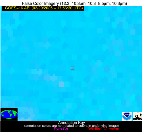
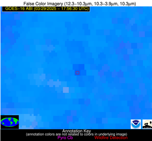
| Latest Satellite Imagery: | |
| View all event imagery » | |
Possible Wildfire
| Basic Information | |
|---|---|
| State/Province(s) | GA |
| Country/Countries | United States |
| County/Locality(s) | Houston County, GA |
| NWS WFO | Peachtree City GA |
| Identification Method | Enhanced Contextual (Cloud) |
| Mean Object Date/Time | 2025-03-29 17:57:21UTC |
| Radiative Center (Lat, Lon): | 32.446110°, -83.838608° |
| Nearby Counties (meeting alert criteria): |
|
| Total Radiative Power Anomaly | n/a |
| Total Radiative Power | 47.77 MW |
| Map: | |
| Additional Information | |
| Alert Status | New Feature |
| Type of Event | Nominal Risk |
| Event Priority Ranking | 4 |
| Maximum Observed BT (3.9 um) | 307.96 K |
| Observed - Background BT (3.9 um) | 10.24 K |
| BT Anomaly (3.9 um) | 5.99 K |
| Maximum Observed - Clear RTM BT (3.9 um) | 16.30 K |
| Maximum Observed BTD (3.9-10/11/12 um) | 32.49 K |
| Observed - Background BTD (3.9-10/11/12 um) | 10.31 K |
| BTD Anomaly (3.9-10/11/12 um) | 5.33 K |
| Similar Pixel Count | 0 |
| BT Time Tendency (3.9 um) | 1.70 K |
| Image Interval | 5.00 minutes |
| Fraction of Surrounding LWIR Pixels that are Colder | 0.84 |
| Fraction of Surrounding Red Channel Pixels that are Brighter | 0.94 |
| Maximum Radiative Power | 47.77 MW |
| Maximum Radiative Power Uncertainty | 0.00 MW |
| Total Radiative Power Uncertainty | 0.00 MW |
| Mean Viewing Angle | 39.00° |
| Mean Solar Zenith Angle | 29.70° |
| Mean Glint Angle | 67.20° |
| Water Fraction | 0.00 |
| Total Pixel Area | 5.10 km2 |
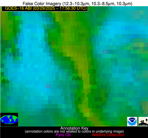
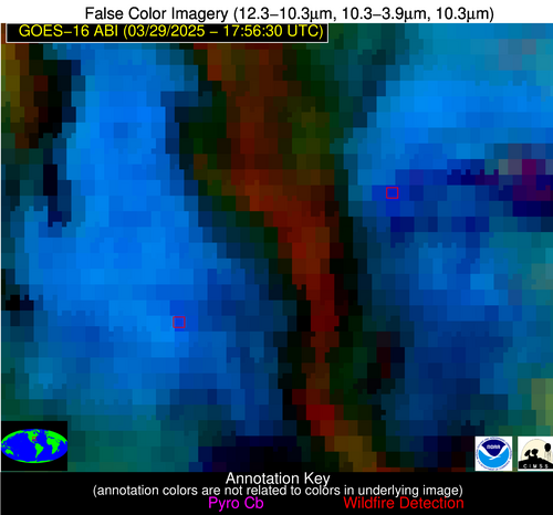
| Latest Satellite Imagery: | |
| View all event imagery » | |
Possible Wildfire
| Basic Information | |
|---|---|
| State/Province(s) | GA |
| Country/Countries | United States |
| County/Locality(s) | Macon County, GA |
| NWS WFO | Peachtree City GA |
| Identification Method | Enhanced Contextual (Cloud) |
| Mean Object Date/Time | 2025-03-29 17:57:21UTC |
| Radiative Center (Lat, Lon): | 32.239723°, -84.217224° |
| Nearby Counties (meeting alert criteria): |
|
| Total Radiative Power Anomaly | n/a |
| Total Radiative Power | 25.94 MW |
| Map: | |
| Additional Information | |
| Alert Status | New Feature |
| Type of Event | Nominal Risk |
| Event Priority Ranking | 4 |
| Maximum Observed BT (3.9 um) | 309.08 K |
| Observed - Background BT (3.9 um) | 7.58 K |
| BT Anomaly (3.9 um) | 9.16 K |
| Maximum Observed - Clear RTM BT (3.9 um) | 17.57 K |
| Maximum Observed BTD (3.9-10/11/12 um) | 27.76 K |
| Observed - Background BTD (3.9-10/11/12 um) | 7.28 K |
| BTD Anomaly (3.9-10/11/12 um) | 6.56 K |
| Similar Pixel Count | 0 |
| BT Time Tendency (3.9 um) | 6.10 K |
| Image Interval | 5.00 minutes |
| Fraction of Surrounding LWIR Pixels that are Colder | 0.89 |
| Fraction of Surrounding Red Channel Pixels that are Brighter | 0.91 |
| Maximum Radiative Power | 25.94 MW |
| Maximum Radiative Power Uncertainty | 0.00 MW |
| Total Radiative Power Uncertainty | 0.00 MW |
| Mean Viewing Angle | 38.90° |
| Mean Solar Zenith Angle | 29.50° |
| Mean Glint Angle | 66.80° |
| Water Fraction | 0.00 |
| Total Pixel Area | 5.10 km2 |
| Latest Satellite Imagery: | |
| View all event imagery » | |


