Wildfire Alert Report
| Date: | 2025-03-27 |
|---|---|
| Time: | 19:46:55 |
| Production Date and Time: | 2025-03-27 19:47:34 UTC |
| Primary Instrument: | GOES-16 ABI |
| Wmo Spacecraft Id: | 152 |
| Location/orbit: | GEO |
| L1 File: | OR_ABI-L1b-RadM2-M6C14_G16_s20250861946552_e20250861947010_c20250861947072.nc |
| L1 File(s) - Temporal | OR_ABI-L1b-RadM2-M6C14_G16_s20250861944552_e20250861945010_c20250861945054.nc |
| Number Of Thermal Anomaly Alerts: | 3 |
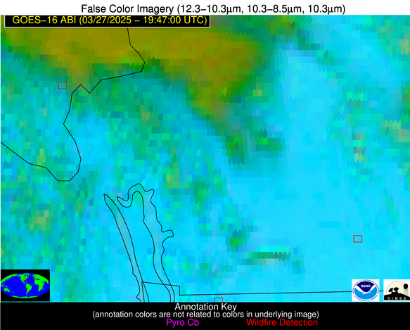
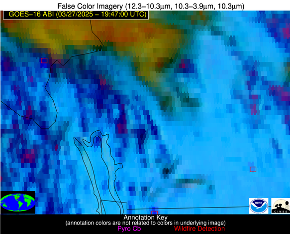
Possible Wildfire
| Basic Information | |
|---|---|
| State/Province(s) | IL |
| Country/Countries | United States |
| County/Locality(s) | Pope County, IL |
| NWS WFO | Paducah KY |
| Identification Method | Enhanced Contextual (Cloud) |
| Mean Object Date/Time | 2025-03-27 19:46:57UTC |
| Radiative Center (Lat, Lon): | 37.429443°, -88.522499° |
| Nearby Counties (meeting alert criteria): |
|
| Total Radiative Power Anomaly | n/a |
| Total Radiative Power | 312.77 MW |
| Map: | |
| Additional Information | |
| Alert Status | New Feature |
| Type of Event | Nominal Risk |
| Event Priority Ranking | 4 |
| Maximum Observed BT (3.9 um) | 318.85 K |
| Observed - Background BT (3.9 um) | 25.21 K |
| BT Anomaly (3.9 um) | 6.50 K |
| Maximum Observed - Clear RTM BT (3.9 um) | 31.21 K |
| Maximum Observed BTD (3.9-10/11/12 um) | 50.82 K |
| Observed - Background BTD (3.9-10/11/12 um) | 25.00 K |
| BTD Anomaly (3.9-10/11/12 um) | 9.26 K |
| Similar Pixel Count | 0 |
| BT Time Tendency (3.9 um) | 14.70 K |
| Image Interval | 2.00 minutes |
| Fraction of Surrounding LWIR Pixels that are Colder | 0.62 |
| Fraction of Surrounding Red Channel Pixels that are Brighter | 0.84 |
| Maximum Radiative Power | 195.85 MW |
| Maximum Radiative Power Uncertainty | 0.00 MW |
| Total Radiative Power Uncertainty | 0.00 MW |
| Mean Viewing Angle | 45.70° |
| Mean Solar Zenith Angle | 43.00° |
| Mean Glint Angle | 73.60° |
| Water Fraction | 0.00 |
| Total Pixel Area | 17.20 km2 |
| Latest Satellite Imagery: | |
| View all event imagery » | |
Possible Wildfire
| Basic Information | |
|---|---|
| State/Province(s) | KY |
| Country/Countries | United States |
| County/Locality(s) | Logan County, KY |
| NWS WFO | Louisville KY |
| Identification Method | Enhanced Contextual (Clear) |
| Mean Object Date/Time | 2025-03-27 19:47:00UTC |
| Radiative Center (Lat, Lon): | 36.846943°, -86.825836° |
| Nearby Counties (meeting alert criteria): |
|
| Total Radiative Power Anomaly | n/a |
| Total Radiative Power | 29.32 MW |
| Map: | |
| Additional Information | |
| Alert Status | New Feature |
| Type of Event | Nominal Risk |
| Event Priority Ranking | 4 |
| Maximum Observed BT (3.9 um) | 305.68 K |
| Observed - Background BT (3.9 um) | 4.99 K |
| BT Anomaly (3.9 um) | 4.39 K |
| Maximum Observed - Clear RTM BT (3.9 um) | 18.35 K |
| Maximum Observed BTD (3.9-10/11/12 um) | 14.66 K |
| Observed - Background BTD (3.9-10/11/12 um) | 4.52 K |
| BTD Anomaly (3.9-10/11/12 um) | 7.25 K |
| Similar Pixel Count | 18 |
| BT Time Tendency (3.9 um) | 3.80 K |
| Image Interval | 2.00 minutes |
| Fraction of Surrounding LWIR Pixels that are Colder | 0.72 |
| Fraction of Surrounding Red Channel Pixels that are Brighter | 1.00 |
| Maximum Radiative Power | 14.91 MW |
| Maximum Radiative Power Uncertainty | 0.00 MW |
| Total Radiative Power Uncertainty | 0.00 MW |
| Mean Viewing Angle | 44.60° |
| Mean Solar Zenith Angle | 43.50° |
| Mean Glint Angle | 73.00° |
| Water Fraction | 0.00 |
| Total Pixel Area | 11.20 km2 |
| Latest Satellite Imagery: | |
| View all event imagery » | |
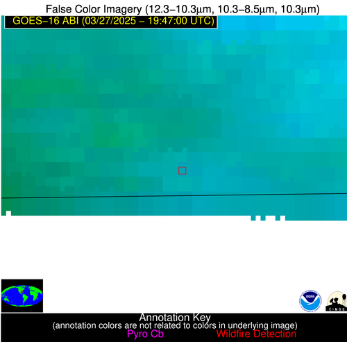
Possible Wildfire
| Basic Information | |
|---|---|
| State/Province(s) | AL |
| Country/Countries | United States |
| County/Locality(s) | Geneva County, AL |
| NWS WFO | Tallahassee FL |
| Identification Method | Enhanced Contextual (Clear) |
| Mean Object Date/Time | 2025-03-27 19:47:00UTC |
| Radiative Center (Lat, Lon): | 31.032223°, -85.801666° |
| Nearby Counties (meeting alert criteria): |
|
| Total Radiative Power Anomaly | n/a |
| Total Radiative Power | 19.27 MW |
| Map: | |
| Additional Information | |
| Alert Status | New Feature |
| Type of Event | Nominal Risk |
| Event Priority Ranking | 4 |
| Maximum Observed BT (3.9 um) | 297.07 K |
| Observed - Background BT (3.9 um) | 5.71 K |
| BT Anomaly (3.9 um) | 5.48 K |
| Maximum Observed - Clear RTM BT (3.9 um) | 4.06 K |
| Maximum Observed BTD (3.9-10/11/12 um) | 25.00 K |
| Observed - Background BTD (3.9-10/11/12 um) | 5.49 K |
| BTD Anomaly (3.9-10/11/12 um) | 7.92 K |
| Similar Pixel Count | 25 |
| BT Time Tendency (3.9 um) | 0.30 K |
| Image Interval | 2.00 minutes |
| Fraction of Surrounding LWIR Pixels that are Colder | 0.84 |
| Fraction of Surrounding Red Channel Pixels that are Brighter | 1.00 |
| Maximum Radiative Power | 19.27 MW |
| Maximum Radiative Power Uncertainty | 0.00 MW |
| Total Radiative Power Uncertainty | 0.00 MW |
| Mean Viewing Angle | 38.00° |
| Mean Solar Zenith Angle | 40.10° |
| Mean Glint Angle | 62.50° |
| Water Fraction | 0.00 |
| Total Pixel Area | 5.10 km2 |
| Latest Satellite Imagery: | |
| View all event imagery » | |


