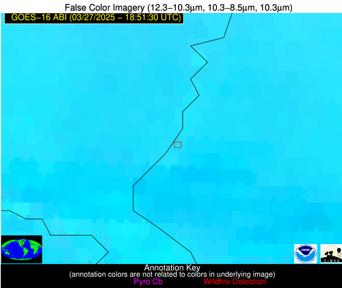
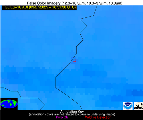
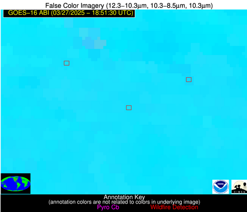
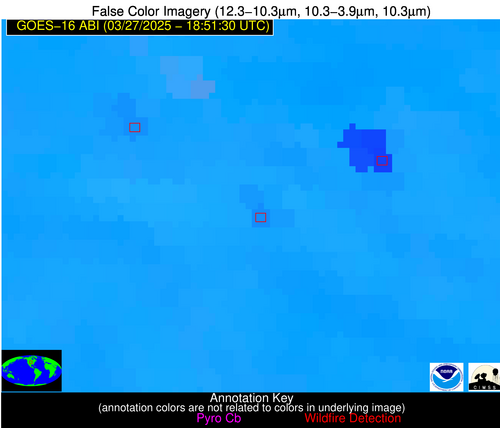
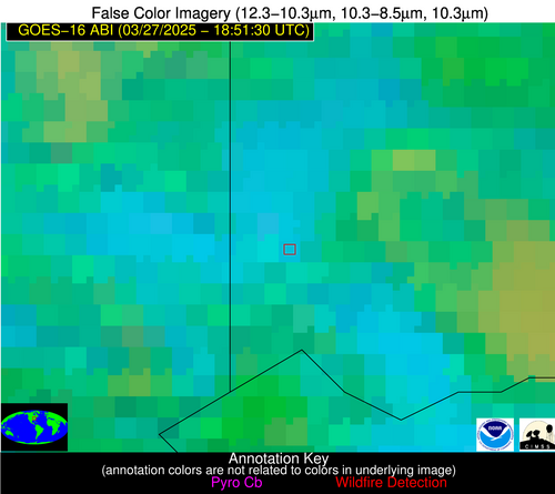
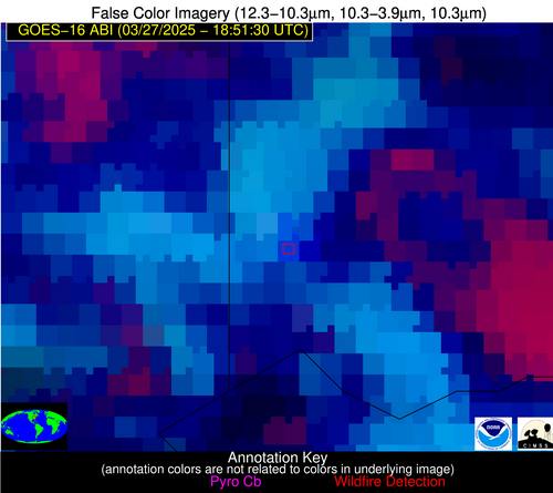
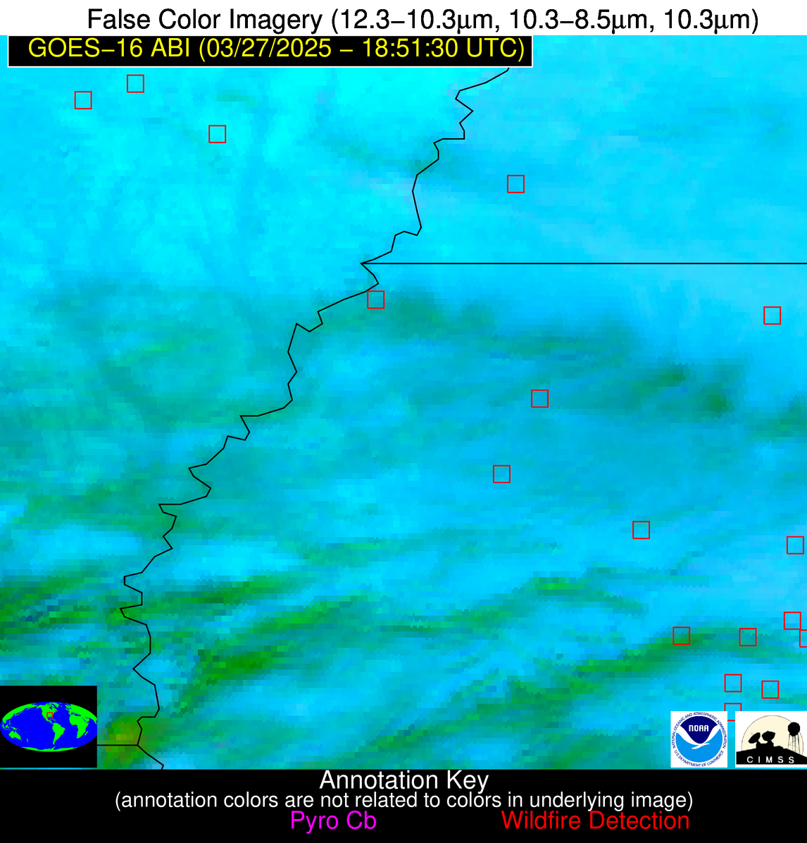
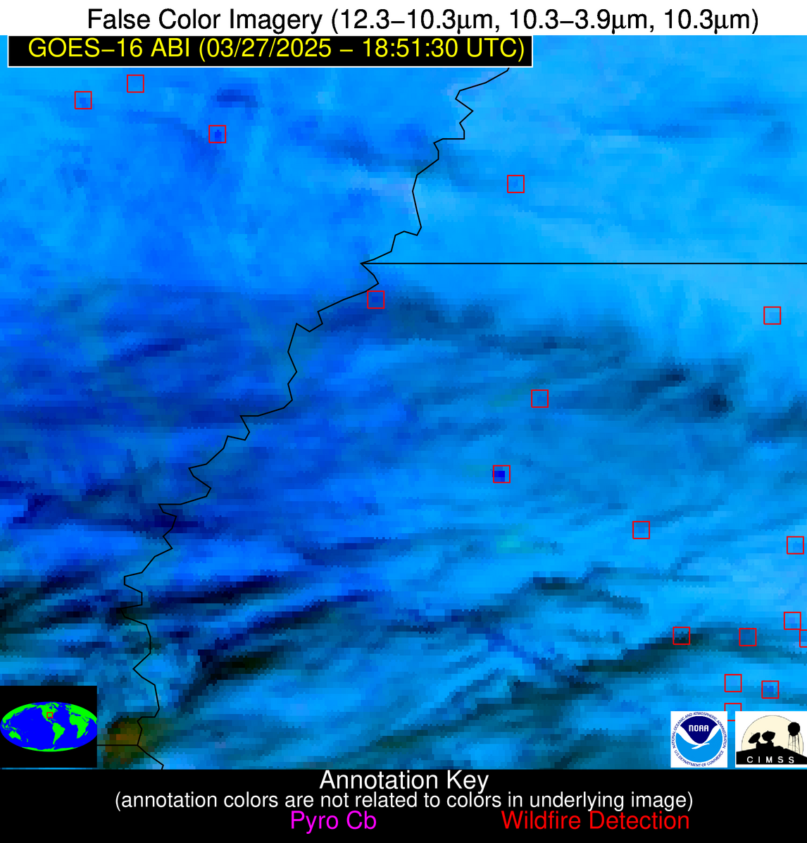
Jan 2026: Due to an ongoing data center cooling system construction project, NGFS data outages may occur with little or no notice. Bitterly cold air in Madison Jan 22-24 increases risk of outages.
Wildfire Alert Report
| Date: | 2025-03-27 |
|---|---|
| Time: | 18:51:17 |
| Production Date and Time: | 2025-03-27 18:56:17 UTC |
| Primary Instrument: | GOES-16 ABI |
| Wmo Spacecraft Id: | 152 |
| Location/orbit: | GEO |
| L1 File: | OR_ABI-L1b-RadC-M6C14_G16_s20250861851174_e20250861853547_c20250861854023.nc |
| L1 File(s) - Temporal | OR_ABI-L1b-RadC-M6C14_G16_s20250861846174_e20250861848547_c20250861849025.nc |
| Number Of Thermal Anomaly Alerts: | 10 |
Possible Wildfire
| Basic Information | |
|---|---|
| State/Province(s) | IA |
| Country/Countries | United States |
| County/Locality(s) | Plymouth County, IA |
| NWS WFO | Sioux Falls SD |
| Identification Method | Enhanced Contextual (Clear) |
| Mean Object Date/Time | 2025-03-27 18:51:50UTC |
| Radiative Center (Lat, Lon): | 42.849998°, -96.543053° |
| Nearby Counties (meeting alert criteria): |
|
| Total Radiative Power Anomaly | n/a |
| Total Radiative Power | 16.18 MW |
| Map: | |
| Additional Information | |
| Alert Status | New Feature |
| Type of Event | Nominal Risk |
| Event Priority Ranking | 4 |
| Maximum Observed BT (3.9 um) | 310.00 K |
| Observed - Background BT (3.9 um) | 2.73 K |
| BT Anomaly (3.9 um) | 2.87 K |
| Maximum Observed - Clear RTM BT (3.9 um) | 18.26 K |
| Maximum Observed BTD (3.9-10/11/12 um) | 15.91 K |
| Observed - Background BTD (3.9-10/11/12 um) | 2.90 K |
| BTD Anomaly (3.9-10/11/12 um) | 3.47 K |
| Similar Pixel Count | 25 |
| BT Time Tendency (3.9 um) | 0.90 K |
| Image Interval | 5.00 minutes |
| Fraction of Surrounding LWIR Pixels that are Colder | 0.41 |
| Fraction of Surrounding Red Channel Pixels that are Brighter | 0.98 |
| Maximum Radiative Power | 16.18 MW |
| Maximum Radiative Power Uncertainty | 0.00 MW |
| Total Radiative Power Uncertainty | 0.00 MW |
| Mean Viewing Angle | 54.10° |
| Mean Solar Zenith Angle | 40.90° |
| Mean Glint Angle | 88.90° |
| Water Fraction | 0.00 |
| Total Pixel Area | 6.80 km2 |
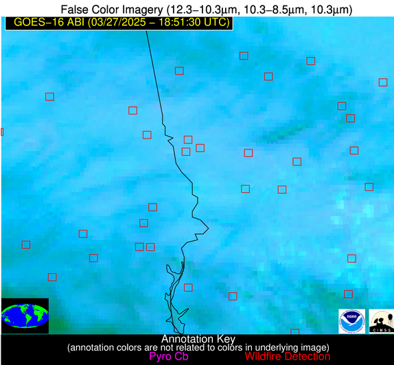
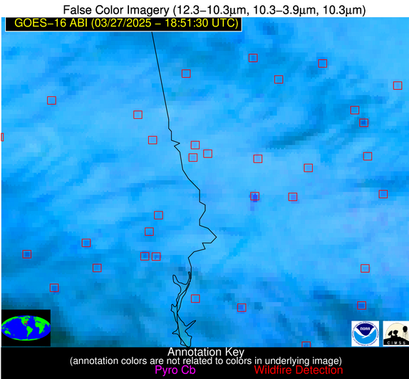
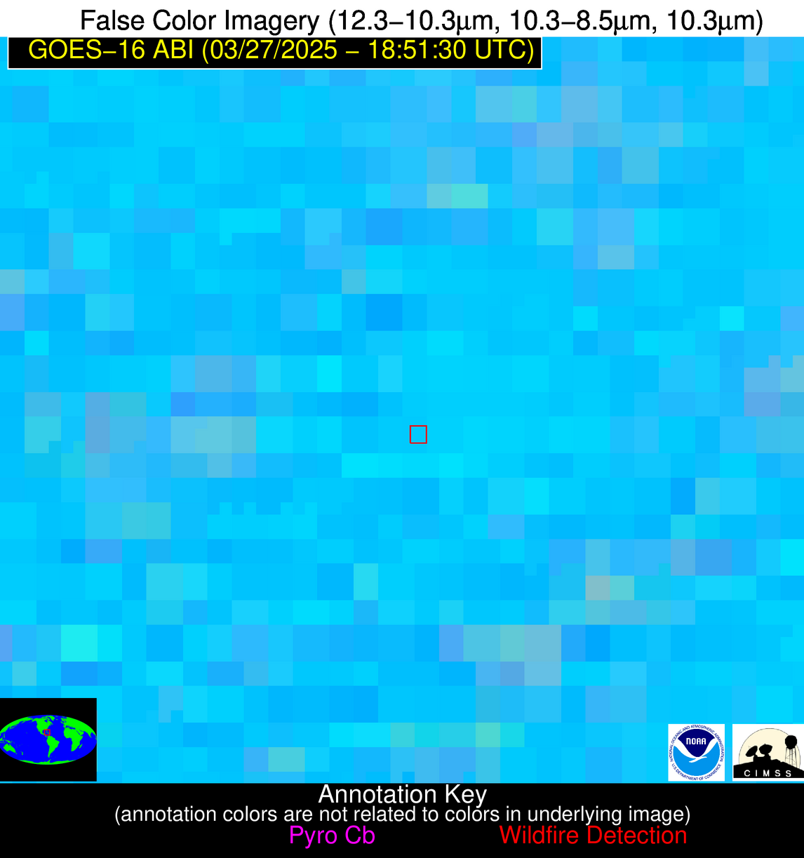
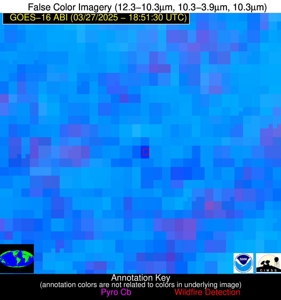
| Latest Satellite Imagery: | |
| View all event imagery » | |
Possible Wildfire
| Basic Information | |
|---|---|
| State/Province(s) | NE |
| Country/Countries | United States |
| County/Locality(s) | Valley County, NE |
| NWS WFO | Hastings NE |
| Identification Method | Enhanced Contextual (Clear) |
| Mean Object Date/Time | 2025-03-27 18:51:50UTC |
| Radiative Center (Lat, Lon): | 41.676945°, -99.151108° |
| Nearby Counties (meeting alert criteria): |
|
| Total Radiative Power Anomaly | n/a |
| Total Radiative Power | 15.10 MW |
| Map: | |
| Additional Information | |
| Alert Status | New Feature |
| Type of Event | Nominal Risk |
| Event Priority Ranking | 4 |
| Maximum Observed BT (3.9 um) | 310.93 K |
| Observed - Background BT (3.9 um) | 2.73 K |
| BT Anomaly (3.9 um) | 1.25 K |
| Maximum Observed - Clear RTM BT (3.9 um) | 14.42 K |
| Maximum Observed BTD (3.9-10/11/12 um) | 14.94 K |
| Observed - Background BTD (3.9-10/11/12 um) | 2.74 K |
| BTD Anomaly (3.9-10/11/12 um) | 1.42 K |
| Similar Pixel Count | 25 |
| BT Time Tendency (3.9 um) | 1.50 K |
| Image Interval | 5.00 minutes |
| Fraction of Surrounding LWIR Pixels that are Colder | 0.49 |
| Fraction of Surrounding Red Channel Pixels that are Brighter | 1.00 |
| Maximum Radiative Power | 15.10 MW |
| Maximum Radiative Power Uncertainty | 0.00 MW |
| Total Radiative Power Uncertainty | 0.00 MW |
| Mean Viewing Angle | 54.10° |
| Mean Solar Zenith Angle | 39.60° |
| Mean Glint Angle | 87.80° |
| Water Fraction | 0.00 |
| Total Pixel Area | 6.80 km2 |
| Latest Satellite Imagery: | |
| View all event imagery » | |
Possible Wildfire
| Basic Information | |
|---|---|
| State/Province(s) | OH |
| Country/Countries | United States |
| County/Locality(s) | Hamilton County, OH |
| NWS WFO | Wilmington OH |
| Identification Method | Enhanced Contextual (Cloud) |
| Mean Object Date/Time | 2025-03-27 18:51:51UTC |
| Radiative Center (Lat, Lon): | 39.268612°, -84.747223° |
| Nearby Counties (meeting alert criteria): |
|
| Total Radiative Power Anomaly | n/a |
| Total Radiative Power | 40.04 MW |
| Map: | |
| Additional Information | |
| Alert Status | New Feature |
| Type of Event | Nominal Risk |
| Event Priority Ranking | 4 |
| Maximum Observed BT (3.9 um) | 308.86 K |
| Observed - Background BT (3.9 um) | 11.83 K |
| BT Anomaly (3.9 um) | 7.37 K |
| Maximum Observed - Clear RTM BT (3.9 um) | 23.29 K |
| Maximum Observed BTD (3.9-10/11/12 um) | 28.72 K |
| Observed - Background BTD (3.9-10/11/12 um) | 11.53 K |
| BTD Anomaly (3.9-10/11/12 um) | 7.03 K |
| Similar Pixel Count | 0 |
| BT Time Tendency (3.9 um) | 9.00 K |
| Image Interval | 5.00 minutes |
| Fraction of Surrounding LWIR Pixels that are Colder | 0.91 |
| Fraction of Surrounding Red Channel Pixels that are Brighter | 0.99 |
| Maximum Radiative Power | 40.04 MW |
| Maximum Radiative Power Uncertainty | 0.00 MW |
| Total Radiative Power Uncertainty | 0.00 MW |
| Mean Viewing Angle | 46.70° |
| Mean Solar Zenith Angle | 40.10° |
| Mean Glint Angle | 80.20° |
| Water Fraction | 0.00 |
| Total Pixel Area | 5.80 km2 |
| Latest Satellite Imagery: | |
| View all event imagery » | |
Possible Wildfire
| Basic Information | |
|---|---|
| State/Province(s) | AR |
| Country/Countries | United States |
| County/Locality(s) | Independence County, AR |
| NWS WFO | Little Rock AR |
| Identification Method | Enhanced Contextual (Clear) |
| Mean Object Date/Time | 2025-03-27 18:52:21UTC |
| Radiative Center (Lat, Lon): | 35.677502°, -91.377502° |
| Nearby Counties (meeting alert criteria): |
|
| Total Radiative Power Anomaly | n/a |
| Total Radiative Power | 47.61 MW |
| Map: | |
| Additional Information | |
| Alert Status | New Feature |
| Type of Event | Nominal Risk |
| Event Priority Ranking | 4 |
| Maximum Observed BT (3.9 um) | 315.55 K |
| Observed - Background BT (3.9 um) | 7.58 K |
| BT Anomaly (3.9 um) | 2.75 K |
| Maximum Observed - Clear RTM BT (3.9 um) | 19.54 K |
| Maximum Observed BTD (3.9-10/11/12 um) | 22.22 K |
| Observed - Background BTD (3.9-10/11/12 um) | 7.90 K |
| BTD Anomaly (3.9-10/11/12 um) | 3.56 K |
| Similar Pixel Count | 17 |
| BT Time Tendency (3.9 um) | 1.60 K |
| Image Interval | 5.00 minutes |
| Fraction of Surrounding LWIR Pixels that are Colder | 0.40 |
| Fraction of Surrounding Red Channel Pixels that are Brighter | 0.37 |
| Maximum Radiative Power | 25.45 MW |
| Maximum Radiative Power Uncertainty | 0.00 MW |
| Total Radiative Power Uncertainty | 0.00 MW |
| Mean Viewing Angle | 44.90° |
| Mean Solar Zenith Angle | 34.80° |
| Mean Glint Angle | 73.10° |
| Water Fraction | 0.00 |
| Total Pixel Area | 11.30 km2 |
| Latest Satellite Imagery: | |
| View all event imagery » | |
Possible Wildfire
| Basic Information | |
|---|---|
| State/Province(s) | GA |
| Country/Countries | United States |
| County/Locality(s) | Spalding County, GA |
| NWS WFO | Peachtree City GA |
| Identification Method | Enhanced Contextual (Clear) |
| Mean Object Date/Time | 2025-03-27 18:52:21UTC |
| Radiative Center (Lat, Lon): | 33.235832°, -84.270554° |
| Nearby Counties (meeting alert criteria): |
|
| Total Radiative Power Anomaly | n/a |
| Total Radiative Power | 12.15 MW |
| Map: | |
| Additional Information | |
| Alert Status | New Feature |
| Type of Event | Likely an Urban Source |
| Event Priority Ranking | 4 |
| Maximum Observed BT (3.9 um) | 304.21 K |
| Observed - Background BT (3.9 um) | 4.12 K |
| BT Anomaly (3.9 um) | 6.02 K |
| Maximum Observed - Clear RTM BT (3.9 um) | 11.59 K |
| Maximum Observed BTD (3.9-10/11/12 um) | 15.66 K |
| Observed - Background BTD (3.9-10/11/12 um) | 4.75 K |
| BTD Anomaly (3.9-10/11/12 um) | 4.78 K |
| Similar Pixel Count | 20 |
| BT Time Tendency (3.9 um) | -0.80 K |
| Image Interval | 5.00 minutes |
| Fraction of Surrounding LWIR Pixels that are Colder | 0.43 |
| Fraction of Surrounding Red Channel Pixels that are Brighter | 0.80 |
| Maximum Radiative Power | 12.15 MW |
| Maximum Radiative Power Uncertainty | 0.00 MW |
| Total Radiative Power Uncertainty | 0.00 MW |
| Mean Viewing Angle | 40.00° |
| Mean Solar Zenith Angle | 35.00° |
| Mean Glint Angle | 68.00° |
| Water Fraction | 0.00 |
| Total Pixel Area | 5.20 km2 |
| Latest Satellite Imagery: | |
| View all event imagery » | |
Possible Wildfire
| Basic Information | |
|---|---|
| State/Province(s) | MS |
| Country/Countries | United States |
| County/Locality(s) | Winston County, MS |
| NWS WFO | Jackson MS |
| Identification Method | Enhanced Contextual (Clear) |
| Mean Object Date/Time | 2025-03-27 18:52:21UTC |
| Radiative Center (Lat, Lon): | 33.137779°, -88.857780° |
| Nearby Counties (meeting alert criteria): |
|
| Total Radiative Power Anomaly | n/a |
| Total Radiative Power | 10.59 MW |
| Map: | |
| Additional Information | |
| Alert Status | New Feature |
| Type of Event | Nominal Risk |
| Event Priority Ranking | 4 |
| Maximum Observed BT (3.9 um) | 304.75 K |
| Observed - Background BT (3.9 um) | 3.76 K |
| BT Anomaly (3.9 um) | 4.25 K |
| Maximum Observed - Clear RTM BT (3.9 um) | 10.34 K |
| Maximum Observed BTD (3.9-10/11/12 um) | 13.17 K |
| Observed - Background BTD (3.9-10/11/12 um) | 2.56 K |
| BTD Anomaly (3.9-10/11/12 um) | 2.55 K |
| Similar Pixel Count | 25 |
| BT Time Tendency (3.9 um) | 2.90 K |
| Image Interval | 5.00 minutes |
| Fraction of Surrounding LWIR Pixels that are Colder | 0.98 |
| Fraction of Surrounding Red Channel Pixels that are Brighter | 1.00 |
| Maximum Radiative Power | 10.59 MW |
| Maximum Radiative Power Uncertainty | 0.00 MW |
| Total Radiative Power Uncertainty | 0.00 MW |
| Mean Viewing Angle | 41.30° |
| Mean Solar Zenith Angle | 33.10° |
| Mean Glint Angle | 67.50° |
| Water Fraction | 0.00 |
| Total Pixel Area | 5.30 km2 |
| Latest Satellite Imagery: | |
| View all event imagery » | |
Possible Wildfire
| Basic Information | |
|---|---|
| State/Province(s) | GA |
| Country/Countries | United States |
| County/Locality(s) | Harris County, GA |
| NWS WFO | Peachtree City GA |
| Identification Method | Enhanced Contextual (Clear) |
| Mean Object Date/Time | 2025-03-27 18:52:21UTC |
| Radiative Center (Lat, Lon): | 32.701668°, -85.038887° |
| Nearby Counties (meeting alert criteria): |
|
| Total Radiative Power Anomaly | n/a |
| Total Radiative Power | 8.22 MW |
| Map: | |
| Additional Information | |
| Alert Status | New Feature |
| Type of Event | Nominal Risk |
| Event Priority Ranking | 4 |
| Maximum Observed BT (3.9 um) | 306.77 K |
| Observed - Background BT (3.9 um) | 3.75 K |
| BT Anomaly (3.9 um) | 3.02 K |
| Maximum Observed - Clear RTM BT (3.9 um) | 12.49 K |
| Maximum Observed BTD (3.9-10/11/12 um) | 10.32 K |
| Observed - Background BTD (3.9-10/11/12 um) | 2.70 K |
| BTD Anomaly (3.9-10/11/12 um) | 3.99 K |
| Similar Pixel Count | 17 |
| BT Time Tendency (3.9 um) | 1.90 K |
| Image Interval | 5.00 minutes |
| Fraction of Surrounding LWIR Pixels that are Colder | 0.87 |
| Fraction of Surrounding Red Channel Pixels that are Brighter | 1.00 |
| Maximum Radiative Power | 8.22 MW |
| Maximum Radiative Power Uncertainty | 0.00 MW |
| Total Radiative Power Uncertainty | 0.00 MW |
| Mean Viewing Angle | 39.60° |
| Mean Solar Zenith Angle | 34.20° |
| Mean Glint Angle | 66.80° |
| Water Fraction | 0.00 |
| Total Pixel Area | 5.20 km2 |
| Latest Satellite Imagery: | |
| View all event imagery » | |
Possible Wildfire
| Basic Information | |
|---|---|
| State/Province(s) | AL |
| Country/Countries | United States |
| County/Locality(s) | Pike County, AL |
| NWS WFO | Birmingham AL |
| Identification Method | Enhanced Contextual (Clear) |
| Mean Object Date/Time | 2025-03-27 18:52:21UTC |
| Radiative Center (Lat, Lon): | 31.962500°, -85.861664° |
| Nearby Counties (meeting alert criteria): |
|
| Total Radiative Power Anomaly | n/a |
| Total Radiative Power | 33.33 MW |
| Map: | |
| Additional Information | |
| Alert Status | New Feature |
| Type of Event | Nominal Risk |
| Event Priority Ranking | 4 |
| Maximum Observed BT (3.9 um) | 302.67 K |
| Observed - Background BT (3.9 um) | 5.10 K |
| BT Anomaly (3.9 um) | 7.94 K |
| Maximum Observed - Clear RTM BT (3.9 um) | 8.00 K |
| Maximum Observed BTD (3.9-10/11/12 um) | 19.73 K |
| Observed - Background BTD (3.9-10/11/12 um) | 4.85 K |
| BTD Anomaly (3.9-10/11/12 um) | 6.83 K |
| Similar Pixel Count | 22 |
| BT Time Tendency (3.9 um) | 1.60 K |
| Image Interval | 5.00 minutes |
| Fraction of Surrounding LWIR Pixels that are Colder | 0.76 |
| Fraction of Surrounding Red Channel Pixels that are Brighter | 1.00 |
| Maximum Radiative Power | 17.49 MW |
| Maximum Radiative Power Uncertainty | 0.00 MW |
| Total Radiative Power Uncertainty | 0.00 MW |
| Mean Viewing Angle | 39.00° |
| Mean Solar Zenith Angle | 33.20° |
| Mean Glint Angle | 65.10° |
| Water Fraction | 0.00 |
| Total Pixel Area | 10.30 km2 |
| Latest Satellite Imagery: | |
| View all event imagery » | |
Possible Wildfire
| Basic Information | |
|---|---|
| State/Province(s) | GA |
| Country/Countries | United States |
| County/Locality(s) | Lee County, GA |
| NWS WFO | Tallahassee FL |
| Identification Method | Enhanced Contextual (Clear) |
| Mean Object Date/Time | 2025-03-27 18:52:21UTC |
| Radiative Center (Lat, Lon): | 31.862223°, -84.039169° |
| Nearby Counties (meeting alert criteria): |
|
| Total Radiative Power Anomaly | n/a |
| Total Radiative Power | 19.93 MW |
| Map: | |
| Additional Information | |
| Alert Status | New Feature |
| Type of Event | Nominal Risk |
| Event Priority Ranking | 4 |
| Maximum Observed BT (3.9 um) | 304.28 K |
| Observed - Background BT (3.9 um) | 6.44 K |
| BT Anomaly (3.9 um) | 4.67 K |
| Maximum Observed - Clear RTM BT (3.9 um) | 10.46 K |
| Maximum Observed BTD (3.9-10/11/12 um) | 21.52 K |
| Observed - Background BTD (3.9-10/11/12 um) | 6.30 K |
| BTD Anomaly (3.9-10/11/12 um) | 6.84 K |
| Similar Pixel Count | 19 |
| BT Time Tendency (3.9 um) | 4.70 K |
| Image Interval | 5.00 minutes |
| Fraction of Surrounding LWIR Pixels that are Colder | 0.55 |
| Fraction of Surrounding Red Channel Pixels that are Brighter | 0.97 |
| Maximum Radiative Power | 19.93 MW |
| Maximum Radiative Power Uncertainty | 0.00 MW |
| Total Radiative Power Uncertainty | 0.00 MW |
| Mean Viewing Angle | 38.40° |
| Mean Solar Zenith Angle | 33.90° |
| Mean Glint Angle | 65.20° |
| Water Fraction | 0.00 |
| Total Pixel Area | 5.10 km2 |
| Latest Satellite Imagery: | |
| View all event imagery » | |
Possible Wildfire
| Basic Information | |
|---|---|
| State/Province(s) | Unknown |
| Country/Countries | Cuba |
| County/Locality(s) | Unknown, Unknown |
| NWS WFO | N/A |
| Identification Method | Enhanced Contextual (Cloud) |
| Mean Object Date/Time | 2025-03-27 18:53:22UTC |
| Radiative Center (Lat, Lon): | 21.876112°, -79.187500° |
| Nearby Counties (meeting alert criteria): |
|
| Total Radiative Power Anomaly | n/a |
| Total Radiative Power | 72.26 MW |
| Map: | |
| Additional Information | |
| Alert Status | New Feature |
| Type of Event | Nominal Risk |
| Event Priority Ranking | 4 |
| Maximum Observed BT (3.9 um) | 327.98 K |
| Observed - Background BT (3.9 um) | 16.78 K |
| BT Anomaly (3.9 um) | 13.18 K |
| Maximum Observed - Clear RTM BT (3.9 um) | 24.81 K |
| Maximum Observed BTD (3.9-10/11/12 um) | 29.87 K |
| Observed - Background BTD (3.9-10/11/12 um) | 15.82 K |
| BTD Anomaly (3.9-10/11/12 um) | 14.75 K |
| Similar Pixel Count | 0 |
| BT Time Tendency (3.9 um) | 16.00 K |
| Image Interval | 5.00 minutes |
| Fraction of Surrounding LWIR Pixels that are Colder | 0.99 |
| Fraction of Surrounding Red Channel Pixels that are Brighter | 0.96 |
| Maximum Radiative Power | 72.26 MW |
| Maximum Radiative Power Uncertainty | 0.00 MW |
| Total Radiative Power Uncertainty | 0.00 MW |
| Mean Viewing Angle | 26.10° |
| Mean Solar Zenith Angle | 29.30° |
| Mean Glint Angle | 47.30° |
| Water Fraction | 0.00 |
| Total Pixel Area | 4.50 km2 |
| Latest Satellite Imagery: | |
| View all event imagery » | |
