Jan 2026: Due to an ongoing data center cooling system construction project, NGFS data outages may occur with little or no notice. Bitterly cold air in Madison Jan 22-24 increases risk of outages.
Wildfire Alert Report
| Date: | 2025-03-27 |
|---|---|
| Time: | 17:21:18 |
| Production Date and Time: | 2025-03-27 17:25:59 UTC |
| Primary Instrument: | GOES-18 ABI |
| Wmo Spacecraft Id: | 665 |
| Location/orbit: | GEO |
| L1 File: | OR_ABI-L1b-RadC-M6C14_G18_s20250861721185_e20250861723558_c20250861724055.nc |
| L1 File(s) - Temporal | OR_ABI-L1b-RadC-M6C14_G18_s20250861716185_e20250861718558_c20250861719013.nc |
| Number Of Thermal Anomaly Alerts: | 2 |
Possible Wildfire
| Basic Information | |
|---|---|
| State/Province(s) | MT |
| Country/Countries | United States |
| County/Locality(s) | Teton County, MT |
| NWS WFO | Great Falls MT |
| Identification Method | Enhanced Contextual (Cloud) |
| Mean Object Date/Time | 2025-03-27 17:21:24UTC |
| Radiative Center (Lat, Lon): | 47.528332°, -112.256111° |
| Nearby Counties (meeting alert criteria): |
|
| Total Radiative Power Anomaly | n/a |
| Total Radiative Power | 358.20 MW |
| Map: | |
| Additional Information | |
| Alert Status | New Feature |
| Type of Event | Nominal Risk |
| Event Priority Ranking | 4 |
| Maximum Observed BT (3.9 um) | 314.67 K |
| Observed - Background BT (3.9 um) | 28.06 K |
| BT Anomaly (3.9 um) | 8.17 K |
| Maximum Observed - Clear RTM BT (3.9 um) | 26.27 K |
| Maximum Observed BTD (3.9-10/11/12 um) | 42.54 K |
| Observed - Background BTD (3.9-10/11/12 um) | 27.81 K |
| BTD Anomaly (3.9-10/11/12 um) | 9.10 K |
| Similar Pixel Count | 0 |
| BT Time Tendency (3.9 um) | 16.10 K |
| Image Interval | 5.00 minutes |
| Fraction of Surrounding LWIR Pixels that are Colder | 0.86 |
| Fraction of Surrounding Red Channel Pixels that are Brighter | 0.83 |
| Maximum Radiative Power | 250.92 MW |
| Maximum Radiative Power Uncertainty | 0.00 MW |
| Total Radiative Power Uncertainty | 0.00 MW |
| Mean Viewing Angle | 60.00° |
| Mean Solar Zenith Angle | 53.70° |
| Mean Glint Angle | 83.50° |
| Water Fraction | 0.00 |
| Total Pixel Area | 24.00 km2 |
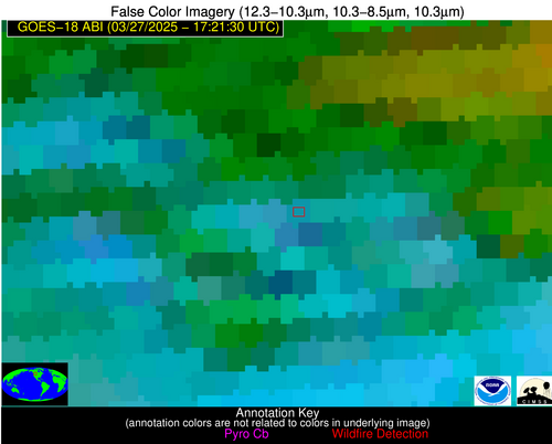
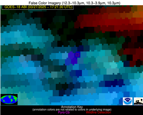
| Latest Satellite Imagery: | |
| View all event imagery » | |
Possible Wildfire
| Basic Information | |
|---|---|
| State/Province(s) | MT |
| Country/Countries | United States |
| County/Locality(s) | Stillwater County, MT |
| NWS WFO | Billings MT |
| Identification Method | Enhanced Contextual (Cloud) |
| Mean Object Date/Time | 2025-03-27 17:21:25UTC |
| Radiative Center (Lat, Lon): | 45.610001°, -109.008888° |
| Nearby Counties (meeting alert criteria): |
|
| Total Radiative Power Anomaly | n/a |
| Total Radiative Power | 252.60 MW |
| Map: | |
| Additional Information | |
| Alert Status | New Feature |
| Type of Event | Nominal Risk |
| Event Priority Ranking | 4 |
| Maximum Observed BT (3.9 um) | 319.06 K |
| Observed - Background BT (3.9 um) | 22.18 K |
| BT Anomaly (3.9 um) | 9.81 K |
| Maximum Observed - Clear RTM BT (3.9 um) | 28.32 K |
| Maximum Observed BTD (3.9-10/11/12 um) | 32.53 K |
| Observed - Background BTD (3.9-10/11/12 um) | 21.56 K |
| BTD Anomaly (3.9-10/11/12 um) | 9.99 K |
| Similar Pixel Count | 0 |
| BT Time Tendency (3.9 um) | 22.30 K |
| Image Interval | 5.00 minutes |
| Fraction of Surrounding LWIR Pixels that are Colder | 0.91 |
| Fraction of Surrounding Red Channel Pixels that are Brighter | 0.98 |
| Maximum Radiative Power | 131.98 MW |
| Maximum Radiative Power Uncertainty | 0.00 MW |
| Total Radiative Power Uncertainty | 0.00 MW |
| Mean Viewing Angle | 59.70° |
| Mean Solar Zenith Angle | 50.80° |
| Mean Glint Angle | 80.40° |
| Water Fraction | 0.00 |
| Total Pixel Area | 15.90 km2 |
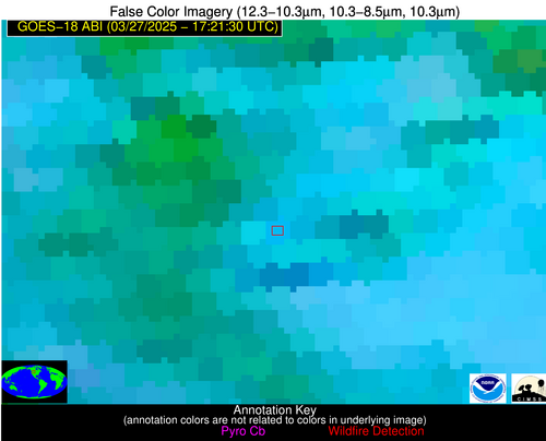
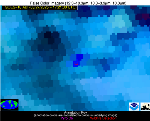
| Latest Satellite Imagery: | |
| View all event imagery » | |


