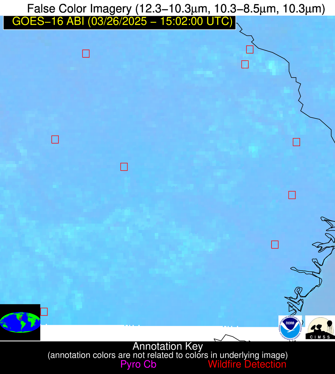
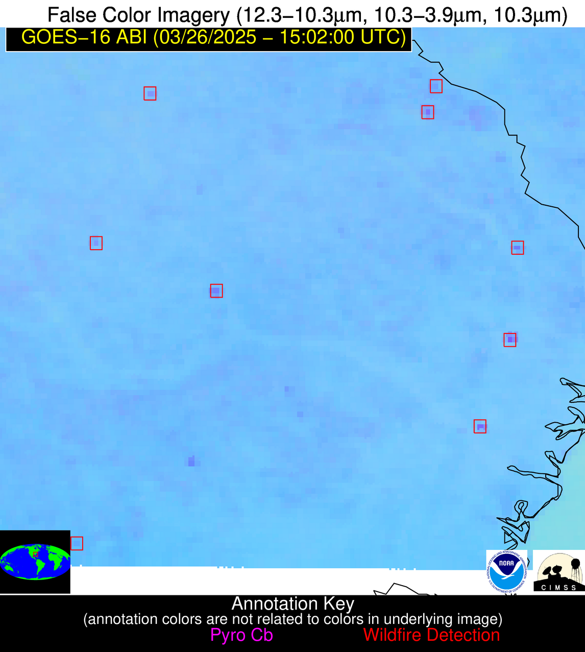
Wildfire Alert Report
| Date: | 2025-03-26 |
|---|---|
| Time: | 15:01:55 |
| Production Date and Time: | 2025-03-26 15:02:42 UTC |
| Primary Instrument: | GOES-16 ABI |
| Wmo Spacecraft Id: | 152 |
| Location/orbit: | GEO |
| L1 File: | OR_ABI-L1b-RadM2-M6C14_G16_s20250851501552_e20250851502009_c20250851502054.nc |
| L1 File(s) - Temporal | OR_ABI-L1b-RadM2-M6C14_G16_s20250851500552_e20250851501009_c20250851501066.nc |
| Number Of Thermal Anomaly Alerts: | 10 |
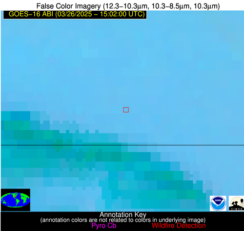
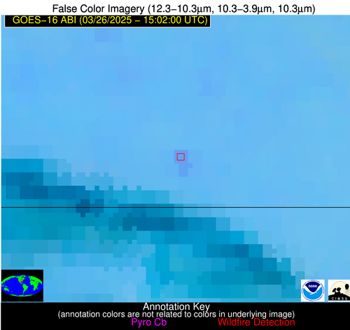
Possible Wildfire
| Basic Information | |
|---|---|
| State/Province(s) | TN |
| Country/Countries | United States |
| County/Locality(s) | Fayette County, TN |
| NWS WFO | Memphis TN |
| Identification Method | Enhanced Contextual (Clear) |
| Mean Object Date/Time | 2025-03-26 15:01:59UTC |
| Radiative Center (Lat, Lon): | 35.093613°, -89.243057° |
| Nearby Counties (meeting alert criteria): |
|
| Total Radiative Power Anomaly | n/a |
| Total Radiative Power | 16.33 MW |
| Map: | |
| Additional Information | |
| Alert Status | New Feature |
| Type of Event | Nominal Risk |
| Event Priority Ranking | 4 |
| Maximum Observed BT (3.9 um) | 298.97 K |
| Observed - Background BT (3.9 um) | 3.78 K |
| BT Anomaly (3.9 um) | 6.06 K |
| Maximum Observed - Clear RTM BT (3.9 um) | 14.03 K |
| Maximum Observed BTD (3.9-10/11/12 um) | 10.42 K |
| Observed - Background BTD (3.9-10/11/12 um) | 3.53 K |
| BTD Anomaly (3.9-10/11/12 um) | 9.21 K |
| Similar Pixel Count | 10 |
| BT Time Tendency (3.9 um) | 0.50 K |
| Image Interval | 1.00 minutes |
| Fraction of Surrounding LWIR Pixels that are Colder | 0.70 |
| Fraction of Surrounding Red Channel Pixels that are Brighter | 0.98 |
| Maximum Radiative Power | 16.33 MW |
| Maximum Radiative Power Uncertainty | 0.00 MW |
| Total Radiative Power Uncertainty | 0.00 MW |
| Mean Viewing Angle | 43.50° |
| Mean Solar Zenith Angle | 53.60° |
| Mean Glint Angle | 90.10° |
| Water Fraction | 0.00 |
| Total Pixel Area | 11.00 km2 |
| Latest Satellite Imagery: | |
| View all event imagery » | |
Possible Wildfire
| Basic Information | |
|---|---|
| State/Province(s) | GA |
| Country/Countries | United States |
| County/Locality(s) | Burke County, GA |
| NWS WFO | Columbia SC |
| Identification Method | Enhanced Contextual (Clear) |
| Mean Object Date/Time | 2025-03-26 15:02:01UTC |
| Radiative Center (Lat, Lon): | 33.106945°, -81.778610° |
| Nearby Counties (meeting alert criteria): |
|
| Total Radiative Power Anomaly | n/a |
| Total Radiative Power | 18.92 MW |
| Map: | |
| Additional Information | |
| Alert Status | New Feature |
| Type of Event | Nominal Risk |
| Event Priority Ranking | 4 |
| Maximum Observed BT (3.9 um) | 301.37 K |
| Observed - Background BT (3.9 um) | 4.77 K |
| BT Anomaly (3.9 um) | 2.36 K |
| Maximum Observed - Clear RTM BT (3.9 um) | 12.82 K |
| Maximum Observed BTD (3.9-10/11/12 um) | 9.87 K |
| Observed - Background BTD (3.9-10/11/12 um) | 4.02 K |
| BTD Anomaly (3.9-10/11/12 um) | 2.87 K |
| Similar Pixel Count | 12 |
| BT Time Tendency (3.9 um) | 0.60 K |
| Image Interval | 1.00 minutes |
| Fraction of Surrounding LWIR Pixels that are Colder | 0.78 |
| Fraction of Surrounding Red Channel Pixels that are Brighter | 0.78 |
| Maximum Radiative Power | 9.63 MW |
| Maximum Radiative Power Uncertainty | 0.00 MW |
| Total Radiative Power Uncertainty | 0.00 MW |
| Mean Viewing Angle | 39.30° |
| Mean Solar Zenith Angle | 47.30° |
| Mean Glint Angle | 78.70° |
| Water Fraction | 0.00 |
| Total Pixel Area | 10.30 km2 |
| Latest Satellite Imagery: | |
| View all event imagery » | |
Possible Wildfire
| Basic Information | |
|---|---|
| State/Province(s) | GA |
| Country/Countries | United States |
| County/Locality(s) | Washington County, GA |
| NWS WFO | Peachtree City GA |
| Identification Method | Enhanced Contextual (Clear) |
| Mean Object Date/Time | 2025-03-26 15:02:01UTC |
| Radiative Center (Lat, Lon): | 33.073891°, -82.943054° |
| Nearby Counties (meeting alert criteria): |
|
| Total Radiative Power Anomaly | n/a |
| Total Radiative Power | 15.37 MW |
| Map: | |
| Additional Information | |
| Alert Status | New Feature |
| Type of Event | Nominal Risk |
| Event Priority Ranking | 4 |
| Maximum Observed BT (3.9 um) | 301.81 K |
| Observed - Background BT (3.9 um) | 5.94 K |
| BT Anomaly (3.9 um) | 7.91 K |
| Maximum Observed - Clear RTM BT (3.9 um) | 13.63 K |
| Maximum Observed BTD (3.9-10/11/12 um) | 10.76 K |
| Observed - Background BTD (3.9-10/11/12 um) | 5.90 K |
| BTD Anomaly (3.9-10/11/12 um) | 17.59 K |
| Similar Pixel Count | 2 |
| BT Time Tendency (3.9 um) | 0.40 K |
| Image Interval | 1.00 minutes |
| Fraction of Surrounding LWIR Pixels that are Colder | 0.48 |
| Fraction of Surrounding Red Channel Pixels that are Brighter | 1.00 |
| Maximum Radiative Power | 15.37 MW |
| Maximum Radiative Power Uncertainty | 0.00 MW |
| Total Radiative Power Uncertainty | 0.00 MW |
| Mean Viewing Angle | 39.50° |
| Mean Solar Zenith Angle | 48.10° |
| Mean Glint Angle | 79.80° |
| Water Fraction | 0.00 |
| Total Pixel Area | 5.20 km2 |
| Latest Satellite Imagery: | |
| View all event imagery » | |
Possible Wildfire
| Basic Information | |
|---|---|
| State/Province(s) | GA |
| Country/Countries | United States |
| County/Locality(s) | Burke County, GA |
| NWS WFO | Columbia SC |
| Identification Method | Enhanced Contextual (Clear) |
| Mean Object Date/Time | 2025-03-26 15:02:01UTC |
| Radiative Center (Lat, Lon): | 32.988056°, -81.812775° |
| Nearby Counties (meeting alert criteria): |
|
| Total Radiative Power Anomaly | n/a |
| Total Radiative Power | 29.45 MW |
| Map: | |
| Additional Information | |
| Alert Status | New Feature |
| Type of Event | Nominal Risk |
| Event Priority Ranking | 4 |
| Maximum Observed BT (3.9 um) | 306.57 K |
| Observed - Background BT (3.9 um) | 9.61 K |
| BT Anomaly (3.9 um) | 6.71 K |
| Maximum Observed - Clear RTM BT (3.9 um) | 18.39 K |
| Maximum Observed BTD (3.9-10/11/12 um) | 15.72 K |
| Observed - Background BTD (3.9-10/11/12 um) | 9.89 K |
| BTD Anomaly (3.9-10/11/12 um) | 10.73 K |
| Similar Pixel Count | 1 |
| BT Time Tendency (3.9 um) | 1.00 K |
| Image Interval | 1.00 minutes |
| Fraction of Surrounding LWIR Pixels that are Colder | 0.32 |
| Fraction of Surrounding Red Channel Pixels that are Brighter | 0.34 |
| Maximum Radiative Power | 29.45 MW |
| Maximum Radiative Power Uncertainty | 0.00 MW |
| Total Radiative Power Uncertainty | 0.00 MW |
| Mean Viewing Angle | 39.10° |
| Mean Solar Zenith Angle | 47.20° |
| Mean Glint Angle | 78.50° |
| Water Fraction | 0.00 |
| Total Pixel Area | 5.20 km2 |
| Latest Satellite Imagery: | |
| View all event imagery » | |
Possible Wildfire
| Basic Information | |
|---|---|
| State/Province(s) | GA |
| Country/Countries | United States |
| County/Locality(s) | Dodge County, GA |
| NWS WFO | Peachtree City GA |
| Identification Method | Enhanced Contextual (Clear) |
| Mean Object Date/Time | 2025-03-26 15:02:01UTC |
| Radiative Center (Lat, Lon): | 32.389168°, -83.161942° |
| Nearby Counties (meeting alert criteria): |
|
| Total Radiative Power Anomaly | n/a |
| Total Radiative Power | 14.81 MW |
| Map: | |
| Additional Information | |
| Alert Status | New Feature |
| Type of Event | Nominal Risk |
| Event Priority Ranking | 4 |
| Maximum Observed BT (3.9 um) | 302.36 K |
| Observed - Background BT (3.9 um) | 5.71 K |
| BT Anomaly (3.9 um) | 10.07 K |
| Maximum Observed - Clear RTM BT (3.9 um) | 13.40 K |
| Maximum Observed BTD (3.9-10/11/12 um) | 10.67 K |
| Observed - Background BTD (3.9-10/11/12 um) | 5.65 K |
| BTD Anomaly (3.9-10/11/12 um) | 18.15 K |
| Similar Pixel Count | 3 |
| BT Time Tendency (3.9 um) | 0.00 K |
| Image Interval | 1.00 minutes |
| Fraction of Surrounding LWIR Pixels that are Colder | 0.55 |
| Fraction of Surrounding Red Channel Pixels that are Brighter | 1.00 |
| Maximum Radiative Power | 14.81 MW |
| Maximum Radiative Power Uncertainty | 0.00 MW |
| Total Radiative Power Uncertainty | 0.00 MW |
| Mean Viewing Angle | 38.80° |
| Mean Solar Zenith Angle | 47.90° |
| Mean Glint Angle | 79.00° |
| Water Fraction | 0.00 |
| Total Pixel Area | 5.10 km2 |
| Latest Satellite Imagery: | |
| View all event imagery » | |
Possible Wildfire
| Basic Information | |
|---|---|
| State/Province(s) | GA |
| Country/Countries | United States |
| County/Locality(s) | Wheeler County, GA |
| NWS WFO | Peachtree City GA |
| Identification Method | Enhanced Contextual (Clear) |
| Mean Object Date/Time | 2025-03-26 15:02:01UTC |
| Radiative Center (Lat, Lon): | 32.171112°, -82.672226° |
| Nearby Counties (meeting alert criteria): |
|
| Total Radiative Power Anomaly | n/a |
| Total Radiative Power | 41.31 MW |
| Map: | |
| Additional Information | |
| Alert Status | New Feature |
| Type of Event | Nominal Risk |
| Event Priority Ranking | 4 |
| Maximum Observed BT (3.9 um) | 307.57 K |
| Observed - Background BT (3.9 um) | 9.36 K |
| BT Anomaly (3.9 um) | 10.64 K |
| Maximum Observed - Clear RTM BT (3.9 um) | 17.75 K |
| Maximum Observed BTD (3.9-10/11/12 um) | 14.21 K |
| Observed - Background BTD (3.9-10/11/12 um) | 8.57 K |
| BTD Anomaly (3.9-10/11/12 um) | 18.42 K |
| Similar Pixel Count | 3 |
| BT Time Tendency (3.9 um) | 0.80 K |
| Image Interval | 1.00 minutes |
| Fraction of Surrounding LWIR Pixels that are Colder | 0.93 |
| Fraction of Surrounding Red Channel Pixels that are Brighter | 0.93 |
| Maximum Radiative Power | 24.79 MW |
| Maximum Radiative Power Uncertainty | 0.00 MW |
| Total Radiative Power Uncertainty | 0.00 MW |
| Mean Viewing Angle | 38.40° |
| Mean Solar Zenith Angle | 47.40° |
| Mean Glint Angle | 78.20° |
| Water Fraction | 0.00 |
| Total Pixel Area | 10.20 km2 |
| Latest Satellite Imagery: | |
| View all event imagery » | |
Possible Wildfire
| Basic Information | |
|---|---|
| State/Province(s) | GA |
| Country/Countries | United States |
| County/Locality(s) | Liberty County, GA |
| NWS WFO | Charleston SC |
| Identification Method | Enhanced Contextual (Clear) |
| Mean Object Date/Time | 2025-03-26 15:02:01UTC |
| Radiative Center (Lat, Lon): | 31.946112°, -81.478615° |
| Nearby Counties (meeting alert criteria): |
|
| Total Radiative Power Anomaly | n/a |
| Total Radiative Power | 67.72 MW |
| Map: | |
| Additional Information | |
| Alert Status | New Feature |
| Type of Event | Nominal Risk |
| Event Priority Ranking | 4 |
| Maximum Observed BT (3.9 um) | 310.48 K |
| Observed - Background BT (3.9 um) | 13.85 K |
| BT Anomaly (3.9 um) | 14.87 K |
| Maximum Observed - Clear RTM BT (3.9 um) | 20.34 K |
| Maximum Observed BTD (3.9-10/11/12 um) | 19.41 K |
| Observed - Background BTD (3.9-10/11/12 um) | 14.72 K |
| BTD Anomaly (3.9-10/11/12 um) | 33.43 K |
| Similar Pixel Count | 1 |
| BT Time Tendency (3.9 um) | 0.90 K |
| Image Interval | 1.00 minutes |
| Fraction of Surrounding LWIR Pixels that are Colder | 0.04 |
| Fraction of Surrounding Red Channel Pixels that are Brighter | 1.00 |
| Maximum Radiative Power | 67.72 MW |
| Maximum Radiative Power Uncertainty | 0.00 MW |
| Total Radiative Power Uncertainty | 0.00 MW |
| Mean Viewing Angle | 37.90° |
| Mean Solar Zenith Angle | 46.40° |
| Mean Glint Angle | 76.50° |
| Water Fraction | 0.00 |
| Total Pixel Area | 10.10 km2 |
| Latest Satellite Imagery: | |
| View all event imagery » | |
Possible Wildfire
| Basic Information | |
|---|---|
| State/Province(s) | GA |
| Country/Countries | United States |
| County/Locality(s) | McIntosh County, GA |
| NWS WFO | Charleston SC |
| Identification Method | Enhanced Contextual (Clear) |
| Mean Object Date/Time | 2025-03-26 15:02:01UTC |
| Radiative Center (Lat, Lon): | 31.550833°, -81.600281° |
| Nearby Counties (meeting alert criteria): |
|
| Total Radiative Power Anomaly | n/a |
| Total Radiative Power | 59.21 MW |
| Map: | |
| Additional Information | |
| Alert Status | New Feature |
| Type of Event | Nominal Risk |
| Event Priority Ranking | 4 |
| Maximum Observed BT (3.9 um) | 309.97 K |
| Observed - Background BT (3.9 um) | 13.06 K |
| BT Anomaly (3.9 um) | 13.10 K |
| Maximum Observed - Clear RTM BT (3.9 um) | 19.63 K |
| Maximum Observed BTD (3.9-10/11/12 um) | 17.30 K |
| Observed - Background BTD (3.9-10/11/12 um) | 12.88 K |
| BTD Anomaly (3.9-10/11/12 um) | 29.14 K |
| Similar Pixel Count | 2 |
| BT Time Tendency (3.9 um) | 0.70 K |
| Image Interval | 1.00 minutes |
| Fraction of Surrounding LWIR Pixels that are Colder | 0.61 |
| Fraction of Surrounding Red Channel Pixels that are Brighter | 0.70 |
| Maximum Radiative Power | 59.21 MW |
| Maximum Radiative Power Uncertainty | 0.00 MW |
| Total Radiative Power Uncertainty | 0.00 MW |
| Mean Viewing Angle | 37.50° |
| Mean Solar Zenith Angle | 46.30° |
| Mean Glint Angle | 76.00° |
| Water Fraction | 0.00 |
| Total Pixel Area | 10.10 km2 |
| Latest Satellite Imagery: | |
| View all event imagery » | |
Possible Wildfire
| Basic Information | |
|---|---|
| State/Province(s) | AL |
| Country/Countries | United States |
| County/Locality(s) | Clarke County, AL |
| NWS WFO | Mobile AL |
| Identification Method | Enhanced Contextual (Clear) |
| Mean Object Date/Time | 2025-03-26 15:02:00UTC |
| Radiative Center (Lat, Lon): | 31.440001°, -87.739723° |
| Nearby Counties (meeting alert criteria): |
|
| Total Radiative Power Anomaly | n/a |
| Total Radiative Power | 41.79 MW |
| Map: | |
| Additional Information | |
| Alert Status | New Feature |
| Type of Event | Nominal Risk |
| Event Priority Ranking | 4 |
| Maximum Observed BT (3.9 um) | 304.68 K |
| Observed - Background BT (3.9 um) | 10.01 K |
| BT Anomaly (3.9 um) | 11.38 K |
| Maximum Observed - Clear RTM BT (3.9 um) | 13.47 K |
| Maximum Observed BTD (3.9-10/11/12 um) | 15.81 K |
| Observed - Background BTD (3.9-10/11/12 um) | 9.33 K |
| BTD Anomaly (3.9-10/11/12 um) | 24.21 K |
| Similar Pixel Count | 2 |
| BT Time Tendency (3.9 um) | 0.60 K |
| Image Interval | 1.00 minutes |
| Fraction of Surrounding LWIR Pixels that are Colder | 0.89 |
| Fraction of Surrounding Red Channel Pixels that are Brighter | 0.96 |
| Maximum Radiative Power | 41.79 MW |
| Maximum Radiative Power Uncertainty | 0.00 MW |
| Total Radiative Power Uncertainty | 0.00 MW |
| Mean Viewing Angle | 39.10° |
| Mean Solar Zenith Angle | 50.80° |
| Mean Glint Angle | 83.20° |
| Water Fraction | 0.00 |
| Total Pixel Area | 10.30 km2 |
| Latest Satellite Imagery: | |
| View all event imagery » | |
Possible Wildfire
| Basic Information | |
|---|---|
| State/Province(s) | GA |
| Country/Countries | United States |
| County/Locality(s) | Lowndes County, GA |
| NWS WFO | Tallahassee FL |
| Identification Method | Enhanced Contextual (Clear) |
| Mean Object Date/Time | 2025-03-26 15:02:01UTC |
| Radiative Center (Lat, Lon): | 31.015278°, -83.240837° |
| Nearby Counties (meeting alert criteria): |
|
| Total Radiative Power Anomaly | n/a |
| Total Radiative Power | 6.82 MW |
| Map: | |
| Additional Information | |
| Alert Status | New Feature |
| Type of Event | Nominal Risk |
| Event Priority Ranking | 4 |
| Maximum Observed BT (3.9 um) | 301.61 K |
| Observed - Background BT (3.9 um) | 2.86 K |
| BT Anomaly (3.9 um) | 3.02 K |
| Maximum Observed - Clear RTM BT (3.9 um) | 11.32 K |
| Maximum Observed BTD (3.9-10/11/12 um) | 8.90 K |
| Observed - Background BTD (3.9-10/11/12 um) | 2.59 K |
| BTD Anomaly (3.9-10/11/12 um) | 4.64 K |
| Similar Pixel Count | 20 |
| BT Time Tendency (3.9 um) | 0.40 K |
| Image Interval | 1.00 minutes |
| Fraction of Surrounding LWIR Pixels that are Colder | 0.74 |
| Fraction of Surrounding Red Channel Pixels that are Brighter | 1.00 |
| Maximum Radiative Power | 6.82 MW |
| Maximum Radiative Power Uncertainty | 0.00 MW |
| Total Radiative Power Uncertainty | 0.00 MW |
| Mean Viewing Angle | 37.30° |
| Mean Solar Zenith Angle | 47.20° |
| Mean Glint Angle | 77.00° |
| Water Fraction | 0.00 |
| Total Pixel Area | 5.00 km2 |
| Latest Satellite Imagery: | |
| View all event imagery » | |
