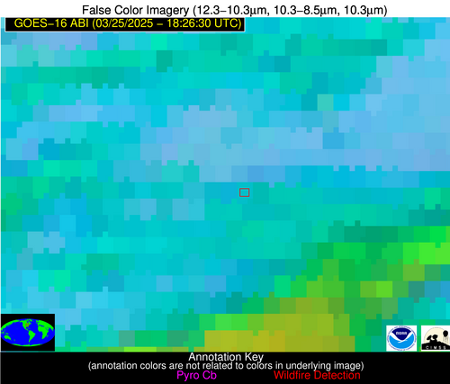
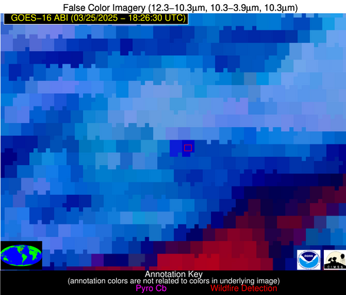
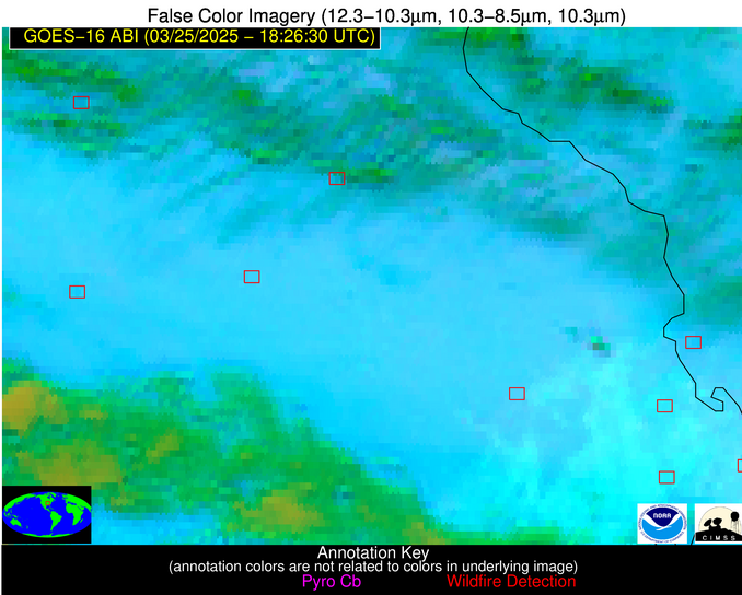
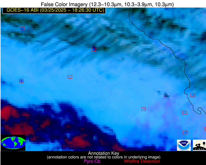
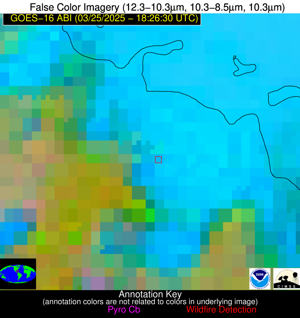
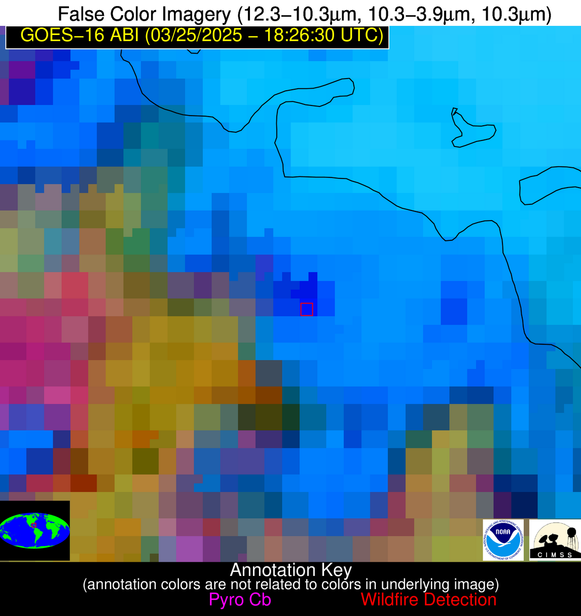
Wildfire Alert Report
| Date: | 2025-03-25 |
|---|---|
| Time: | 18:26:17 |
| Production Date and Time: | 2025-03-25 18:31:23 UTC |
| Primary Instrument: | GOES-16 ABI |
| Wmo Spacecraft Id: | 152 |
| Location/orbit: | GEO |
| L1 File: | OR_ABI-L1b-RadC-M6C14_G16_s20250841826173_e20250841828546_c20250841829031.nc |
| L1 File(s) - Temporal | OR_ABI-L1b-RadC-M6C14_G16_s20250841821173_e20250841823546_c20250841824050.nc |
| Number Of Thermal Anomaly Alerts: | 7 |
Possible Wildfire
| Basic Information | |
|---|---|
| State/Province(s) | IL |
| Country/Countries | United States |
| County/Locality(s) | Will County, IL |
| NWS WFO | Chicago IL |
| Identification Method | Enhanced Contextual (Cloud) |
| Mean Object Date/Time | 2025-03-25 18:26:51UTC |
| Radiative Center (Lat, Lon): | 41.360832°, -88.134720° |
| Nearby Counties (meeting alert criteria): |
|
| Total Radiative Power Anomaly | n/a |
| Total Radiative Power | 125.18 MW |
| Map: | |
| Additional Information | |
| Alert Status | New Feature |
| Type of Event | Nominal Risk, Known Incident: Middle Grant Creek RX (HIGH, tdiff=0.16061 days, Point) |
| Event Priority Ranking | 4 |
| Maximum Observed BT (3.9 um) | 315.35 K |
| Observed - Background BT (3.9 um) | 17.28 K |
| BT Anomaly (3.9 um) | 8.79 K |
| Maximum Observed - Clear RTM BT (3.9 um) | 33.16 K |
| Maximum Observed BTD (3.9-10/11/12 um) | 37.40 K |
| Observed - Background BTD (3.9-10/11/12 um) | 17.75 K |
| BTD Anomaly (3.9-10/11/12 um) | 8.95 K |
| Similar Pixel Count | 0 |
| BT Time Tendency (3.9 um) | 16.50 K |
| Image Interval | 5.00 minutes |
| Fraction of Surrounding LWIR Pixels that are Colder | 0.58 |
| Fraction of Surrounding Red Channel Pixels that are Brighter | 0.22 |
| Maximum Radiative Power | 69.40 MW |
| Maximum Radiative Power Uncertainty | 0.00 MW |
| Total Radiative Power Uncertainty | 0.00 MW |
| Mean Viewing Angle | 49.80° |
| Mean Solar Zenith Angle | 40.50° |
| Mean Glint Angle | 86.60° |
| Water Fraction | 0.00 |
| Total Pixel Area | 12.40 km2 |
| Latest Satellite Imagery: | |
| View all event imagery » | |
Possible Wildfire
| Basic Information | |
|---|---|
| State/Province(s) | MO |
| Country/Countries | United States |
| County/Locality(s) | Maries County, MO |
| NWS WFO | Springfield MO |
| Identification Method | Enhanced Contextual (Cloud) |
| Mean Object Date/Time | 2025-03-25 18:26:51UTC |
| Radiative Center (Lat, Lon): | 38.105835°, -91.983887° |
| Nearby Counties (meeting alert criteria): |
|
| Total Radiative Power Anomaly | n/a |
| Total Radiative Power | 27.77 MW |
| Map: | |
| Additional Information | |
| Alert Status | New Feature |
| Type of Event | Nominal Risk |
| Event Priority Ranking | 4 |
| Maximum Observed BT (3.9 um) | 304.61 K |
| Observed - Background BT (3.9 um) | 8.88 K |
| BT Anomaly (3.9 um) | 6.45 K |
| Maximum Observed - Clear RTM BT (3.9 um) | 18.72 K |
| Maximum Observed BTD (3.9-10/11/12 um) | 24.93 K |
| Observed - Background BTD (3.9-10/11/12 um) | 8.57 K |
| BTD Anomaly (3.9-10/11/12 um) | 8.95 K |
| Similar Pixel Count | 0 |
| BT Time Tendency (3.9 um) | 17.60 K |
| Image Interval | 5.00 minutes |
| Fraction of Surrounding LWIR Pixels that are Colder | 0.93 |
| Fraction of Surrounding Red Channel Pixels that are Brighter | 1.00 |
| Maximum Radiative Power | 27.77 MW |
| Maximum Radiative Power Uncertainty | 0.00 MW |
| Total Radiative Power Uncertainty | 0.00 MW |
| Mean Viewing Angle | 47.60° |
| Mean Solar Zenith Angle | 36.90° |
| Mean Glint Angle | 80.90° |
| Water Fraction | 0.00 |
| Total Pixel Area | 5.90 km2 |
| Latest Satellite Imagery: | |
| View all event imagery » | |
Possible Wildfire
| Basic Information | |
|---|---|
| State/Province(s) | MO |
| Country/Countries | United States |
| County/Locality(s) | Scott County, MO |
| NWS WFO | Paducah KY |
| Identification Method | Enhanced Contextual (Clear) |
| Mean Object Date/Time | 2025-03-25 18:26:51UTC |
| Radiative Center (Lat, Lon): | 37.018333°, -89.513885° |
| Nearby Counties (meeting alert criteria): |
|
| Total Radiative Power Anomaly | n/a |
| Total Radiative Power | 12.85 MW |
| Map: | |
| Additional Information | |
| Alert Status | New Feature |
| Type of Event | Nominal Risk |
| Event Priority Ranking | 4 |
| Maximum Observed BT (3.9 um) | 313.25 K |
| Observed - Background BT (3.9 um) | 3.04 K |
| BT Anomaly (3.9 um) | 2.23 K |
| Maximum Observed - Clear RTM BT (3.9 um) | 22.23 K |
| Maximum Observed BTD (3.9-10/11/12 um) | 14.60 K |
| Observed - Background BTD (3.9-10/11/12 um) | 2.29 K |
| BTD Anomaly (3.9-10/11/12 um) | 2.09 K |
| Similar Pixel Count | 25 |
| BT Time Tendency (3.9 um) | 1.70 K |
| Image Interval | 5.00 minutes |
| Fraction of Surrounding LWIR Pixels that are Colder | 0.89 |
| Fraction of Surrounding Red Channel Pixels that are Brighter | 0.96 |
| Maximum Radiative Power | 12.85 MW |
| Maximum Radiative Power Uncertainty | 0.00 MW |
| Total Radiative Power Uncertainty | 0.00 MW |
| Mean Viewing Angle | 45.60° |
| Mean Solar Zenith Angle | 36.00° |
| Mean Glint Angle | 77.90° |
| Water Fraction | 0.00 |
| Total Pixel Area | 5.70 km2 |
| Latest Satellite Imagery: | |
| View all event imagery » | |
Possible Wildfire
| Basic Information | |
|---|---|
| State/Province(s) | MO |
| Country/Countries | United States |
| County/Locality(s) | New Madrid County, MO |
| NWS WFO | Paducah KY |
| Identification Method | Enhanced Contextual (Clear) |
| Mean Object Date/Time | 2025-03-25 18:26:51UTC |
| Radiative Center (Lat, Lon): | 36.761944°, -89.505280° |
| Nearby Counties (meeting alert criteria): |
|
| Total Radiative Power Anomaly | n/a |
| Total Radiative Power | 47.07 MW |
| Map: | |
| Additional Information | |
| Alert Status | New Feature |
| Type of Event | Nominal Risk |
| Event Priority Ranking | 4 |
| Maximum Observed BT (3.9 um) | 318.62 K |
| Observed - Background BT (3.9 um) | 6.76 K |
| BT Anomaly (3.9 um) | 3.97 K |
| Maximum Observed - Clear RTM BT (3.9 um) | 27.25 K |
| Maximum Observed BTD (3.9-10/11/12 um) | 18.72 K |
| Observed - Background BTD (3.9-10/11/12 um) | 5.33 K |
| BTD Anomaly (3.9-10/11/12 um) | 3.39 K |
| Similar Pixel Count | 13 |
| BT Time Tendency (3.9 um) | 3.10 K |
| Image Interval | 5.00 minutes |
| Fraction of Surrounding LWIR Pixels that are Colder | 0.99 |
| Fraction of Surrounding Red Channel Pixels that are Brighter | 1.00 |
| Maximum Radiative Power | 47.07 MW |
| Maximum Radiative Power Uncertainty | 0.00 MW |
| Total Radiative Power Uncertainty | 0.00 MW |
| Mean Viewing Angle | 45.30° |
| Mean Solar Zenith Angle | 35.80° |
| Mean Glint Angle | 77.40° |
| Water Fraction | 0.00 |
| Total Pixel Area | 11.40 km2 |
| Latest Satellite Imagery: | |
| View all event imagery » | |
Possible Wildfire
| Basic Information | |
|---|---|
| State/Province(s) | GA |
| Country/Countries | United States |
| County/Locality(s) | Dougherty County, GA |
| NWS WFO | Tallahassee FL |
| Identification Method | Enhanced Contextual (Clear) |
| Mean Object Date/Time | 2025-03-25 18:27:21UTC |
| Radiative Center (Lat, Lon): | 31.468611°, -84.193611° |
| Nearby Counties (meeting alert criteria): |
|
| Total Radiative Power Anomaly | n/a |
| Total Radiative Power | 12.23 MW |
| Map: | |
| Additional Information | |
| Alert Status | New Feature |
| Type of Event | Nominal Risk |
| Event Priority Ranking | 4 |
| Maximum Observed BT (3.9 um) | 309.63 K |
| Observed - Background BT (3.9 um) | 6.24 K |
| BT Anomaly (3.9 um) | 3.88 K |
| Maximum Observed - Clear RTM BT (3.9 um) | 14.45 K |
| Maximum Observed BTD (3.9-10/11/12 um) | 13.21 K |
| Observed - Background BTD (3.9-10/11/12 um) | 4.93 K |
| BTD Anomaly (3.9-10/11/12 um) | 5.85 K |
| Similar Pixel Count | 11 |
| BT Time Tendency (3.9 um) | 2.60 K |
| Image Interval | 5.00 minutes |
| Fraction of Surrounding LWIR Pixels that are Colder | 0.94 |
| Fraction of Surrounding Red Channel Pixels that are Brighter | 1.00 |
| Maximum Radiative Power | 12.23 MW |
| Maximum Radiative Power Uncertainty | 0.00 MW |
| Total Radiative Power Uncertainty | 0.00 MW |
| Mean Viewing Angle | 38.00° |
| Mean Solar Zenith Angle | 31.80° |
| Mean Glint Angle | 65.70° |
| Water Fraction | 0.00 |
| Total Pixel Area | 5.10 km2 |
| Latest Satellite Imagery: | |
| View all event imagery » | |
Possible Wildfire
| Basic Information | |
|---|---|
| State/Province(s) | TX |
| Country/Countries | United States |
| County/Locality(s) | Kenedy County, TX |
| NWS WFO | Brownsville TX |
| Identification Method | Enhanced Contextual (Cloud) |
| Mean Object Date/Time | 2025-03-25 18:27:50UTC |
| Radiative Center (Lat, Lon): | 26.920000°, -97.852776° |
| Nearby Counties (meeting alert criteria): |
|
| Total Radiative Power Anomaly | n/a |
| Total Radiative Power | 102.88 MW |
| Map: | |
| Additional Information | |
| Alert Status | New Feature |
| Type of Event | Nominal Risk |
| Event Priority Ranking | 4 |
| Maximum Observed BT (3.9 um) | 316.93 K |
| Observed - Background BT (3.9 um) | 8.36 K |
| BT Anomaly (3.9 um) | 5.26 K |
| Maximum Observed - Clear RTM BT (3.9 um) | 9.69 K |
| Maximum Observed BTD (3.9-10/11/12 um) | 33.27 K |
| Observed - Background BTD (3.9-10/11/12 um) | 7.95 K |
| BTD Anomaly (3.9-10/11/12 um) | 5.31 K |
| Similar Pixel Count | 0 |
| BT Time Tendency (3.9 um) | 7.10 K |
| Image Interval | 5.00 minutes |
| Fraction of Surrounding LWIR Pixels that are Colder | 0.85 |
| Fraction of Surrounding Red Channel Pixels that are Brighter | 0.31 |
| Maximum Radiative Power | 54.67 MW |
| Maximum Radiative Power Uncertainty | 0.00 MW |
| Total Radiative Power Uncertainty | 0.00 MW |
| Mean Viewing Angle | 40.20° |
| Mean Solar Zenith Angle | 25.70° |
| Mean Glint Angle | 62.50° |
| Water Fraction | 0.00 |
| Total Pixel Area | 10.50 km2 |
| Latest Satellite Imagery: | |
| View all event imagery » | |
Possible Wildfire
| Basic Information | |
|---|---|
| State/Province(s) | Unknown |
| Country/Countries | Cuba |
| County/Locality(s) | Unknown, Unknown |
| NWS WFO | N/A |
| Identification Method | Enhanced Contextual (Cloud) |
| Mean Object Date/Time | 2025-03-25 18:28:22UTC |
| Radiative Center (Lat, Lon): | 22.678055°, -79.833336° |
| Nearby Counties (meeting alert criteria): |
|
| Total Radiative Power Anomaly | n/a |
| Total Radiative Power | 65.13 MW |
| Map: | |
| Additional Information | |
| Alert Status | New Feature |
| Type of Event | Nominal Risk |
| Event Priority Ranking | 4 |
| Maximum Observed BT (3.9 um) | 322.52 K |
| Observed - Background BT (3.9 um) | 14.43 K |
| BT Anomaly (3.9 um) | 5.06 K |
| Maximum Observed - Clear RTM BT (3.9 um) | 14.80 K |
| Maximum Observed BTD (3.9-10/11/12 um) | 36.24 K |
| Observed - Background BTD (3.9-10/11/12 um) | 14.91 K |
| BTD Anomaly (3.9-10/11/12 um) | 5.15 K |
| Similar Pixel Count | 0 |
| BT Time Tendency (3.9 um) | 8.80 K |
| Image Interval | 5.00 minutes |
| Fraction of Surrounding LWIR Pixels that are Colder | 0.54 |
| Fraction of Surrounding Red Channel Pixels that are Brighter | 0.54 |
| Maximum Radiative Power | 65.13 MW |
| Maximum Radiative Power Uncertainty | 0.00 MW |
| Total Radiative Power Uncertainty | 0.00 MW |
| Mean Viewing Angle | 27.10° |
| Mean Solar Zenith Angle | 25.90° |
| Mean Glint Angle | 48.20° |
| Water Fraction | 0.00 |
| Total Pixel Area | 4.50 km2 |
| Latest Satellite Imagery: | |
| View all event imagery » | |
