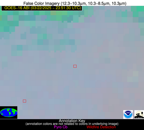
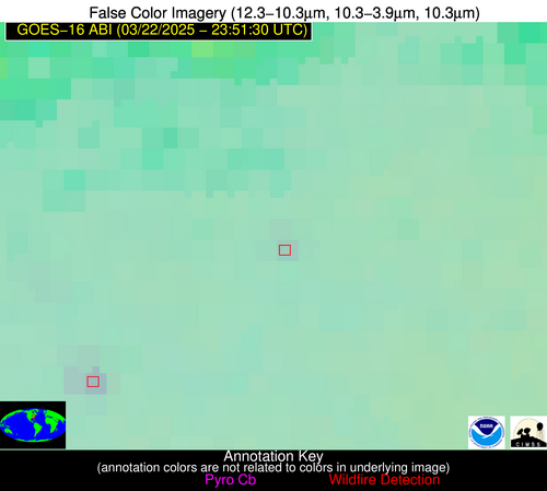
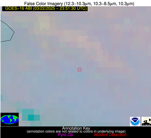
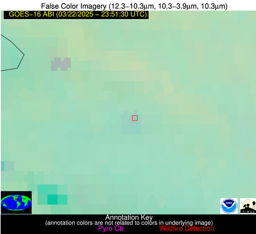
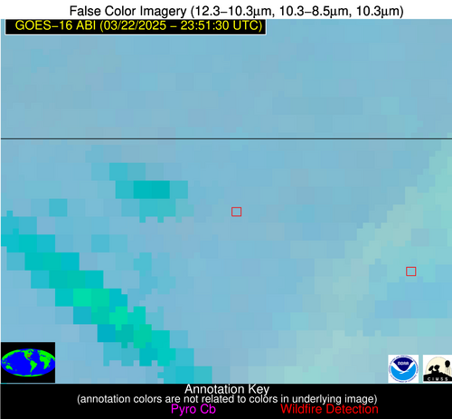
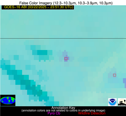
1315 UTC June 07 2025: Due to a power outage at UW/SSEC NGFS products are currently unavailable. Return to service estimate is currently unknown.
Wildfire Alert Report
| Date: | 2025-03-22 |
|---|---|
| Time: | 23:51:17 |
| Production Date and Time: | 2025-03-22 23:56:27 UTC |
| Primary Instrument: | GOES-16 ABI |
| Wmo Spacecraft Id: | 152 |
| Location/orbit: | GEO |
| L1 File: | OR_ABI-L1b-RadC-M6C14_G16_s20250812351172_e20250812353545_c20250812354045.nc |
| L1 File(s) - Temporal | OR_ABI-L1b-RadC-M6C14_G16_s20250812346172_e20250812348545_c20250812349031.nc |
| Number Of Thermal Anomaly Alerts: | 7 |
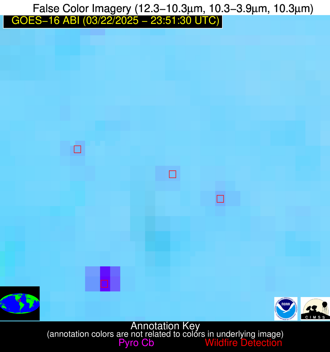
Possible Wildfire
| Basic Information | |
|---|---|
| State/Province(s) | WV |
| Country/Countries | United States |
| County/Locality(s) | Nicholas County, WV |
| NWS WFO | Charleston WV |
| Identification Method | Enhanced Contextual (Clear) |
| Mean Object Date/Time | 2025-03-22 23:51:52UTC |
| Radiative Center (Lat, Lon): | 38.276112°, -81.149170° |
| Nearby Counties (meeting alert criteria): |
|
| Total Radiative Power Anomaly | n/a |
| Total Radiative Power | 3.53 MW |
| Map: | |
| Additional Information | |
| Alert Status | New Feature |
| Type of Event | Nominal Risk |
| Event Priority Ranking | 4 |
| Maximum Observed BT (3.9 um) | 282.40 K |
| Observed - Background BT (3.9 um) | 2.84 K |
| BT Anomaly (3.9 um) | 4.76 K |
| Maximum Observed - Clear RTM BT (3.9 um) | 7.03 K |
| Maximum Observed BTD (3.9-10/11/12 um) | 3.14 K |
| Observed - Background BTD (3.9-10/11/12 um) | 2.32 K |
| BTD Anomaly (3.9-10/11/12 um) | 8.75 K |
| Similar Pixel Count | 1 |
| BT Time Tendency (3.9 um) | 0.40 K |
| Image Interval | 5.00 minutes |
| Fraction of Surrounding LWIR Pixels that are Colder | 0.77 |
| Fraction of Surrounding Red Channel Pixels that are Brighter | 1.00 |
| Maximum Radiative Power | 3.53 MW |
| Maximum Radiative Power Uncertainty | 0.00 MW |
| Total Radiative Power Uncertainty | 0.00 MW |
| Mean Viewing Angle | 45.00° |
| Mean Solar Zenith Angle | 93.70° |
| Mean Glint Angle | 84.00° |
| Water Fraction | 0.00 |
| Total Pixel Area | 5.70 km2 |
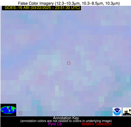
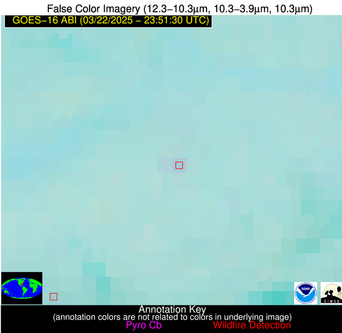
| Latest Satellite Imagery: | |
| View all event imagery » | |
Possible Wildfire
| Basic Information | |
|---|---|
| State/Province(s) | KY |
| Country/Countries | United States |
| County/Locality(s) | Hopkins County, KY |
| NWS WFO | Paducah KY |
| Identification Method | Enhanced Contextual (Clear) |
| Mean Object Date/Time | 2025-03-22 23:51:51UTC |
| Radiative Center (Lat, Lon): | 37.358891°, -87.773056° |
| Nearby Counties (meeting alert criteria): |
|
| Total Radiative Power Anomaly | n/a |
| Total Radiative Power | 2.89 MW |
| Map: | |
| Additional Information | |
| Alert Status | New Feature |
| Type of Event | Nominal Risk |
| Event Priority Ranking | 4 |
| Maximum Observed BT (3.9 um) | 282.56 K |
| Observed - Background BT (3.9 um) | 2.89 K |
| BT Anomaly (3.9 um) | 3.05 K |
| Maximum Observed - Clear RTM BT (3.9 um) | 5.09 K |
| Maximum Observed BTD (3.9-10/11/12 um) | 3.05 K |
| Observed - Background BTD (3.9-10/11/12 um) | 2.15 K |
| BTD Anomaly (3.9-10/11/12 um) | 5.91 K |
| Similar Pixel Count | 4 |
| BT Time Tendency (3.9 um) | 1.20 K |
| Image Interval | 5.00 minutes |
| Fraction of Surrounding LWIR Pixels that are Colder | 0.75 |
| Fraction of Surrounding Red Channel Pixels that are Brighter | 1.00 |
| Maximum Radiative Power | 2.89 MW |
| Maximum Radiative Power Uncertainty | 0.00 MW |
| Total Radiative Power Uncertainty | 0.00 MW |
| Mean Viewing Angle | 45.40° |
| Mean Solar Zenith Angle | 88.50° |
| Mean Glint Angle | 75.60° |
| Water Fraction | 0.00 |
| Total Pixel Area | 5.70 km2 |
| Latest Satellite Imagery: | |
| View all event imagery » | |
Possible Wildfire
| Basic Information | |
|---|---|
| State/Province(s) | AR |
| Country/Countries | United States |
| County/Locality(s) | Randolph County, AR |
| NWS WFO | Little Rock AR |
| Identification Method | Enhanced Contextual (Clear) |
| Mean Object Date/Time | 2025-03-22 23:51:51UTC |
| Radiative Center (Lat, Lon): | 36.398335°, -91.039444° |
| Nearby Counties (meeting alert criteria): |
|
| Total Radiative Power Anomaly | n/a |
| Total Radiative Power | 16.47 MW |
| Map: | |
| Additional Information | |
| Alert Status | New Feature |
| Type of Event | Elevated SPC Risk |
| Event Priority Ranking | 3 |
| Maximum Observed BT (3.9 um) | 292.89 K |
| Observed - Background BT (3.9 um) | 8.11 K |
| BT Anomaly (3.9 um) | 12.50 K |
| Maximum Observed - Clear RTM BT (3.9 um) | 10.51 K |
| Maximum Observed BTD (3.9-10/11/12 um) | 10.54 K |
| Observed - Background BTD (3.9-10/11/12 um) | 8.15 K |
| BTD Anomaly (3.9-10/11/12 um) | 13.78 K |
| Similar Pixel Count | 1 |
| BT Time Tendency (3.9 um) | 6.20 K |
| Image Interval | 5.00 minutes |
| Fraction of Surrounding LWIR Pixels that are Colder | 0.50 |
| Fraction of Surrounding Red Channel Pixels that are Brighter | 1.00 |
| Maximum Radiative Power | 16.47 MW |
| Maximum Radiative Power Uncertainty | 0.00 MW |
| Total Radiative Power Uncertainty | 0.00 MW |
| Mean Viewing Angle | 45.60° |
| Mean Solar Zenith Angle | 85.90° |
| Mean Glint Angle | 71.30° |
| Water Fraction | 0.00 |
| Total Pixel Area | 5.70 km2 |
| Latest Satellite Imagery: | |
| View all event imagery » | |
Possible Wildfire
| Basic Information | |
|---|---|
| State/Province(s) | OK |
| Country/Countries | United States |
| County/Locality(s) | Choctaw County, OK |
| NWS WFO | Tulsa OK |
| Identification Method | Enhanced Contextual (Clear) |
| Mean Object Date/Time | 2025-03-22 23:52:20UTC |
| Radiative Center (Lat, Lon): | 34.043888°, -95.723610° |
| Nearby Counties (meeting alert criteria): |
|
| Total Radiative Power Anomaly | n/a |
| Total Radiative Power | 6.46 MW |
| Map: | |
| Additional Information | |
| Alert Status | New Feature |
| Type of Event | Elevated SPC Risk |
| Event Priority Ranking | 3 |
| Maximum Observed BT (3.9 um) | 295.18 K |
| Observed - Background BT (3.9 um) | 2.77 K |
| BT Anomaly (3.9 um) | 13.80 K |
| Maximum Observed - Clear RTM BT (3.9 um) | 5.70 K |
| Maximum Observed BTD (3.9-10/11/12 um) | 6.44 K |
| Observed - Background BTD (3.9-10/11/12 um) | 2.49 K |
| BTD Anomaly (3.9-10/11/12 um) | 9.84 K |
| Similar Pixel Count | 8 |
| BT Time Tendency (3.9 um) | 0.80 K |
| Image Interval | 5.00 minutes |
| Fraction of Surrounding LWIR Pixels that are Colder | 0.82 |
| Fraction of Surrounding Red Channel Pixels that are Brighter | 1.00 |
| Maximum Radiative Power | 6.46 MW |
| Maximum Radiative Power Uncertainty | 0.00 MW |
| Total Radiative Power Uncertainty | 0.00 MW |
| Mean Viewing Angle | 45.40° |
| Mean Solar Zenith Angle | 81.90° |
| Mean Glint Angle | 64.50° |
| Water Fraction | 0.00 |
| Total Pixel Area | 5.70 km2 |
| Latest Satellite Imagery: | |
| View all event imagery » | |
Possible Wildfire
| Basic Information | |
|---|---|
| State/Province(s) | GA |
| Country/Countries | United States |
| County/Locality(s) | Jeff Davis County, GA |
| NWS WFO | Jacksonville FL |
| Identification Method | Enhanced Contextual (Clear) |
| Mean Object Date/Time | 2025-03-22 23:52:22UTC |
| Radiative Center (Lat, Lon): | 31.795279°, -82.591393° |
| Nearby Counties (meeting alert criteria): |
|
| Total Radiative Power Anomaly | n/a |
| Total Radiative Power | 4.33 MW |
| Map: | |
| Additional Information | |
| Alert Status | New Feature |
| Type of Event | Nominal Risk |
| Event Priority Ranking | 4 |
| Maximum Observed BT (3.9 um) | 288.03 K |
| Observed - Background BT (3.9 um) | 2.53 K |
| BT Anomaly (3.9 um) | 4.51 K |
| Maximum Observed - Clear RTM BT (3.9 um) | 4.06 K |
| Maximum Observed BTD (3.9-10/11/12 um) | 3.13 K |
| Observed - Background BTD (3.9-10/11/12 um) | 2.44 K |
| BTD Anomaly (3.9-10/11/12 um) | 8.54 K |
| Similar Pixel Count | 1 |
| BT Time Tendency (3.9 um) | 1.70 K |
| Image Interval | 5.00 minutes |
| Fraction of Surrounding LWIR Pixels that are Colder | 0.54 |
| Fraction of Surrounding Red Channel Pixels that are Brighter | 1.00 |
| Maximum Radiative Power | 4.33 MW |
| Maximum Radiative Power Uncertainty | 0.00 MW |
| Total Radiative Power Uncertainty | 0.00 MW |
| Mean Viewing Angle | 38.00° |
| Mean Solar Zenith Angle | 92.80° |
| Mean Glint Angle | 82.90° |
| Water Fraction | 0.00 |
| Total Pixel Area | 5.10 km2 |
| Latest Satellite Imagery: | |
| View all event imagery » | |
Possible Wildfire
| Basic Information | |
|---|---|
| State/Province(s) | Unknown |
| Country/Countries | Cuba |
| County/Locality(s) | Unknown, Unknown |
| NWS WFO | N/A |
| Identification Method | Enhanced Contextual (Clear) |
| Mean Object Date/Time | 2025-03-22 23:53:22UTC |
| Radiative Center (Lat, Lon): | 22.664444°, -80.909721° |
| Nearby Counties (meeting alert criteria): |
|
| Total Radiative Power Anomaly | n/a |
| Total Radiative Power | 10.59 MW |
| Map: | |
| Additional Information | |
| Alert Status | New Feature |
| Type of Event | Nominal Risk |
| Event Priority Ranking | 4 |
| Maximum Observed BT (3.9 um) | 298.08 K |
| Observed - Background BT (3.9 um) | 5.19 K |
| BT Anomaly (3.9 um) | 5.13 K |
| Maximum Observed - Clear RTM BT (3.9 um) | 4.35 K |
| Maximum Observed BTD (3.9-10/11/12 um) | 7.26 K |
| Observed - Background BTD (3.9-10/11/12 um) | 4.93 K |
| BTD Anomaly (3.9-10/11/12 um) | 6.28 K |
| Similar Pixel Count | 2 |
| BT Time Tendency (3.9 um) | 2.10 K |
| Image Interval | 5.00 minutes |
| Fraction of Surrounding LWIR Pixels that are Colder | 0.70 |
| Fraction of Surrounding Red Channel Pixels that are Brighter | 1.00 |
| Maximum Radiative Power | 10.59 MW |
| Maximum Radiative Power Uncertainty | 0.00 MW |
| Total Radiative Power Uncertainty | 0.00 MW |
| Mean Viewing Angle | 27.40° |
| Mean Solar Zenith Angle | 94.70° |
| Mean Glint Angle | 86.90° |
| Water Fraction | 0.00 |
| Total Pixel Area | 4.50 km2 |
| Latest Satellite Imagery: | |
| View all event imagery » | |
Possible Wildfire
| Basic Information | |
|---|---|
| State/Province(s) | Unknown |
| Country/Countries | Cuba |
| County/Locality(s) | Unknown, Unknown |
| NWS WFO | N/A |
| Identification Method | Enhanced Contextual (Clear) |
| Mean Object Date/Time | 2025-03-22 23:53:22UTC |
| Radiative Center (Lat, Lon): | 21.484444°, -77.934448° |
| Nearby Counties (meeting alert criteria): |
|
| Total Radiative Power Anomaly | n/a |
| Total Radiative Power | 5.15 MW |
| Map: | |
| Additional Information | |
| Alert Status | New Feature |
| Type of Event | Nominal Risk |
| Event Priority Ranking | 4 |
| Maximum Observed BT (3.9 um) | 296.50 K |
| Observed - Background BT (3.9 um) | 2.47 K |
| BT Anomaly (3.9 um) | 3.19 K |
| Maximum Observed - Clear RTM BT (3.9 um) | 4.50 K |
| Maximum Observed BTD (3.9-10/11/12 um) | 5.52 K |
| Observed - Background BTD (3.9-10/11/12 um) | 2.65 K |
| BTD Anomaly (3.9-10/11/12 um) | 4.40 K |
| Similar Pixel Count | 5 |
| BT Time Tendency (3.9 um) | 1.10 K |
| Image Interval | 5.00 minutes |
| Fraction of Surrounding LWIR Pixels that are Colder | 0.58 |
| Fraction of Surrounding Red Channel Pixels that are Brighter | 1.00 |
| Maximum Radiative Power | 5.15 MW |
| Maximum Radiative Power Uncertainty | 0.00 MW |
| Total Radiative Power Uncertainty | 0.00 MW |
| Mean Viewing Angle | 25.40° |
| Mean Solar Zenith Angle | 97.50° |
| Mean Glint Angle | 92.50° |
| Water Fraction | 0.00 |
| Total Pixel Area | 4.40 km2 |
| Latest Satellite Imagery: | |
| View all event imagery » | |
