Wildfire Alert Report
| Date: | 2025-03-22 |
|---|---|
| Time: | 19:55:55 |
| Production Date and Time: | 2025-03-22 19:56:39 UTC |
| Primary Instrument: | GOES-16 ABI |
| Wmo Spacecraft Id: | 152 |
| Location/orbit: | GEO |
| L1 File: | OR_ABI-L1b-RadM2-M6C14_G16_s20250811955550_e20250811956008_c20250811956057.nc |
| L1 File(s) - Temporal | OR_ABI-L1b-RadM2-M6C14_G16_s20250811953550_e20250811954008_c20250811954067.nc |
| Number Of Thermal Anomaly Alerts: | 2 |
Possible Wildfire
| Basic Information | |
|---|---|
| State/Province(s) | IA |
| Country/Countries | United States |
| County/Locality(s) | Cedar County, IA |
| NWS WFO | Quad Cities IL |
| Identification Method | Enhanced Contextual (Clear) |
| Mean Object Date/Time | 2025-03-22 19:55:58UTC |
| Radiative Center (Lat, Lon): | 41.883610°, -91.241112° |
| Nearby Counties (meeting alert criteria): |
|
| Total Radiative Power Anomaly | n/a |
| Total Radiative Power | 11.97 MW |
| Map: | |
| Additional Information | |
| Alert Status | New Feature |
| Type of Event | Nominal Risk |
| Event Priority Ranking | 4 |
| Maximum Observed BT (3.9 um) | 300.88 K |
| Observed - Background BT (3.9 um) | 3.96 K |
| BT Anomaly (3.9 um) | 2.57 K |
| Maximum Observed - Clear RTM BT (3.9 um) | 20.52 K |
| Maximum Observed BTD (3.9-10/11/12 um) | 17.26 K |
| Observed - Background BTD (3.9-10/11/12 um) | 4.08 K |
| BTD Anomaly (3.9-10/11/12 um) | 3.26 K |
| Similar Pixel Count | 25 |
| BT Time Tendency (3.9 um) | 0.70 K |
| Image Interval | 2.00 minutes |
| Fraction of Surrounding LWIR Pixels that are Colder | 0.64 |
| Fraction of Surrounding Red Channel Pixels that are Brighter | 1.00 |
| Maximum Radiative Power | 11.97 MW |
| Maximum Radiative Power Uncertainty | 0.00 MW |
| Total Radiative Power Uncertainty | 0.00 MW |
| Mean Viewing Angle | 51.20° |
| Mean Solar Zenith Angle | 47.80° |
| Mean Glint Angle | 82.90° |
| Water Fraction | 0.00 |
| Total Pixel Area | 6.40 km2 |
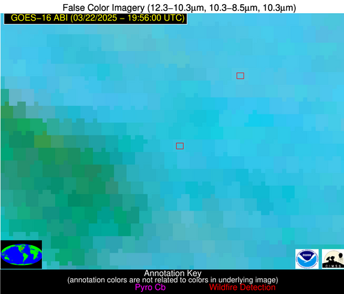
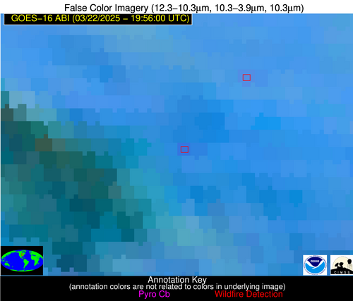
| Latest Satellite Imagery: | |
| View all event imagery » | |
Possible Wildfire
| Basic Information | |
|---|---|
| State/Province(s) | IA |
| Country/Countries | United States |
| County/Locality(s) | Madison County, IA |
| NWS WFO | Des Moines IA |
| Identification Method | Enhanced Contextual (Clear) |
| Mean Object Date/Time | 2025-03-22 19:55:58UTC |
| Radiative Center (Lat, Lon): | 41.274166°, -93.909164° |
| Nearby Counties (meeting alert criteria): |
|
| Total Radiative Power Anomaly | n/a |
| Total Radiative Power | 8.85 MW |
| Map: | |
| Additional Information | |
| Alert Status | New Feature |
| Type of Event | Nominal Risk |
| Event Priority Ranking | 4 |
| Maximum Observed BT (3.9 um) | 298.97 K |
| Observed - Background BT (3.9 um) | 2.77 K |
| BT Anomaly (3.9 um) | 2.61 K |
| Maximum Observed - Clear RTM BT (3.9 um) | 15.74 K |
| Maximum Observed BTD (3.9-10/11/12 um) | 13.36 K |
| Observed - Background BTD (3.9-10/11/12 um) | 3.39 K |
| BTD Anomaly (3.9-10/11/12 um) | 3.93 K |
| Similar Pixel Count | 25 |
| BT Time Tendency (3.9 um) | 1.70 K |
| Image Interval | 2.00 minutes |
| Fraction of Surrounding LWIR Pixels that are Colder | 0.74 |
| Fraction of Surrounding Red Channel Pixels that are Brighter | 1.00 |
| Maximum Radiative Power | 8.85 MW |
| Maximum Radiative Power Uncertainty | 0.00 MW |
| Total Radiative Power Uncertainty | 0.00 MW |
| Mean Viewing Angle | 51.60° |
| Mean Solar Zenith Angle | 46.20° |
| Mean Glint Angle | 81.50° |
| Water Fraction | 0.00 |
| Total Pixel Area | 6.40 km2 |
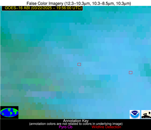
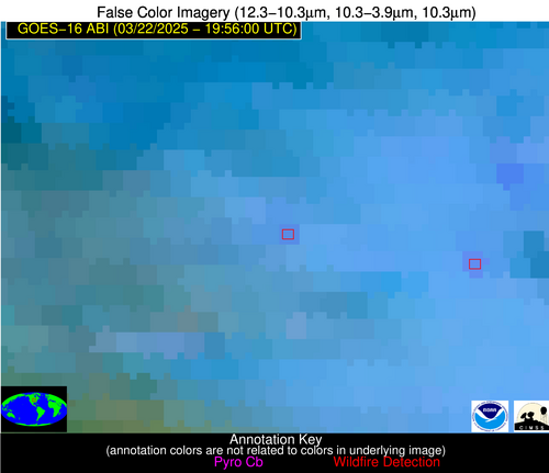
| Latest Satellite Imagery: | |
| View all event imagery » | |


