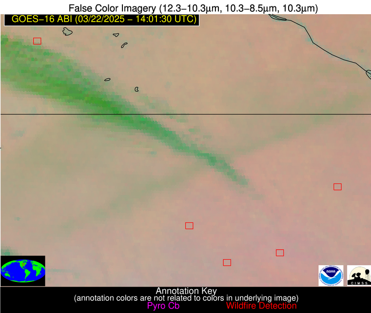
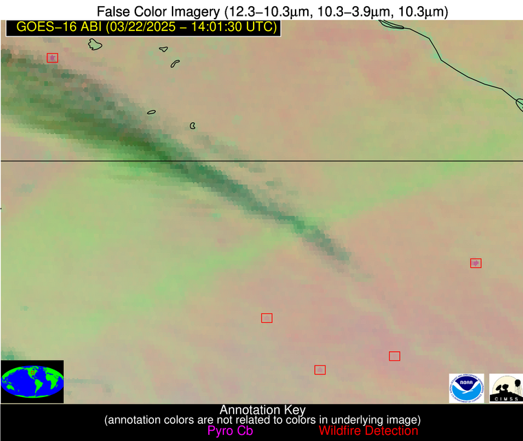
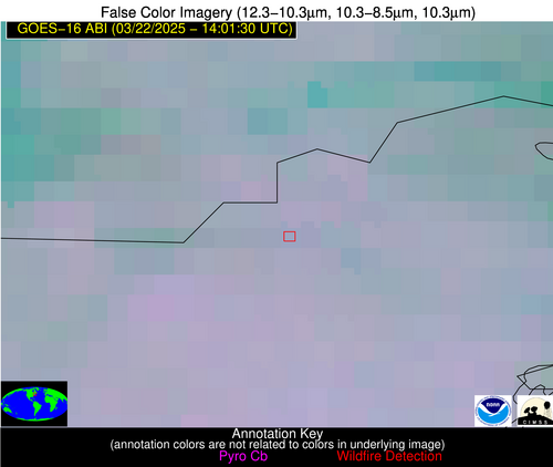
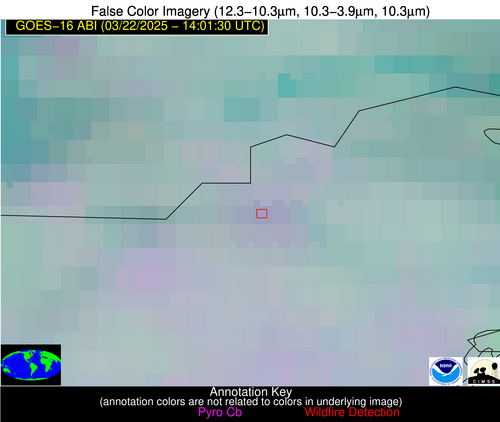
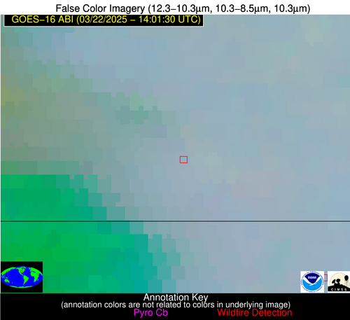
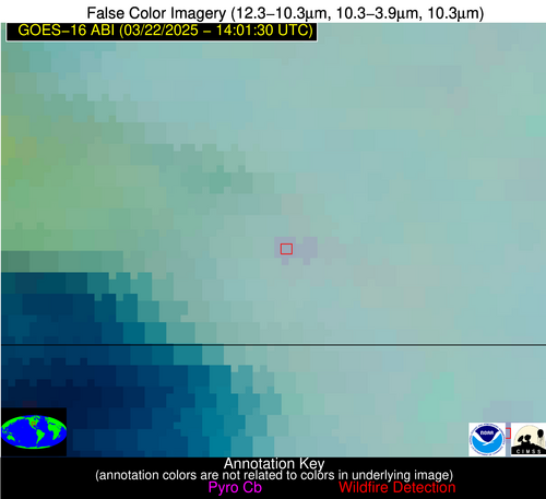
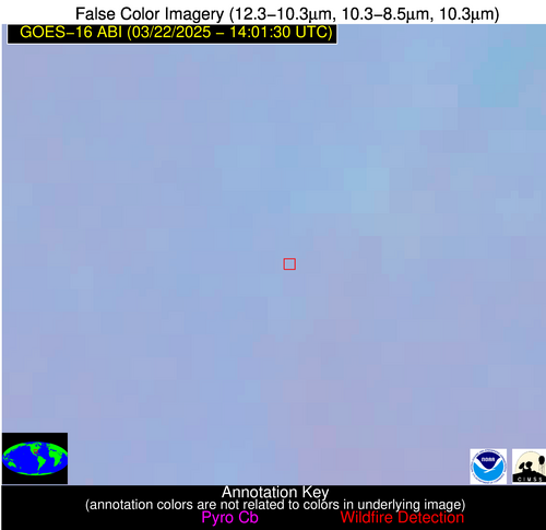
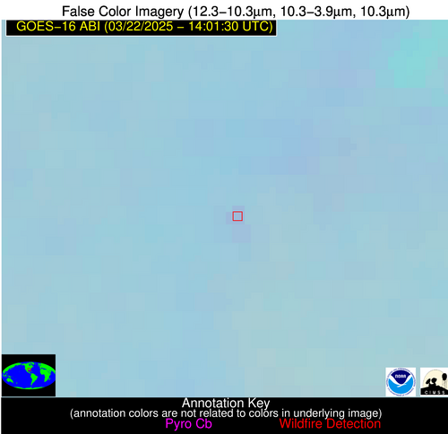
Wildfire Alert Report
| Date: | 2025-03-22 |
|---|---|
| Time: | 14:01:17 |
| Production Date and Time: | 2025-03-22 14:06:03 UTC |
| Primary Instrument: | GOES-16 ABI |
| Wmo Spacecraft Id: | 152 |
| Location/orbit: | GEO |
| L1 File: | OR_ABI-L1b-RadC-M6C14_G16_s20250811401171_e20250811403545_c20250811404030.nc |
| L1 File(s) - Temporal | OR_ABI-L1b-RadC-M6C14_G16_s20250811356171_e20250811358545_c20250811359035.nc |
| Number Of Thermal Anomaly Alerts: | 6 |
Possible Wildfire
| Basic Information | |
|---|---|
| State/Province(s) | MN |
| Country/Countries | United States |
| County/Locality(s) | Brown County, MN |
| NWS WFO | Twin Cities/Chanhassen MN |
| Identification Method | Enhanced Contextual (Clear) |
| Mean Object Date/Time | 2025-03-22 14:01:21UTC |
| Radiative Center (Lat, Lon): | 44.215557°, -94.545830° |
| Nearby Counties (meeting alert criteria): |
|
| Total Radiative Power Anomaly | n/a |
| Total Radiative Power | 21.46 MW |
| Map: | |
| Additional Information | |
| Alert Status | New Feature |
| Type of Event | Nominal Risk |
| Event Priority Ranking | 4 |
| Maximum Observed BT (3.9 um) | 286.83 K |
| Observed - Background BT (3.9 um) | 10.35 K |
| BT Anomaly (3.9 um) | 8.50 K |
| Maximum Observed - Clear RTM BT (3.9 um) | 14.73 K |
| Maximum Observed BTD (3.9-10/11/12 um) | 18.41 K |
| Observed - Background BTD (3.9-10/11/12 um) | 10.59 K |
| BTD Anomaly (3.9-10/11/12 um) | 8.19 K |
| Similar Pixel Count | 4 |
| BT Time Tendency (3.9 um) | 6.40 K |
| Image Interval | 5.00 minutes |
| Fraction of Surrounding LWIR Pixels that are Colder | 0.61 |
| Fraction of Surrounding Red Channel Pixels that are Brighter | 0.97 |
| Maximum Radiative Power | 21.46 MW |
| Maximum Radiative Power Uncertainty | 0.00 MW |
| Total Radiative Power Uncertainty | 0.00 MW |
| Mean Viewing Angle | 54.70° |
| Mean Solar Zenith Angle | 72.90° |
| Mean Glint Angle | 111.60° |
| Water Fraction | 0.00 |
| Total Pixel Area | 6.90 km2 |
| Latest Satellite Imagery: | |
| View all event imagery » | |
Possible Wildfire
| Basic Information | |
|---|---|
| State/Province(s) | MA |
| Country/Countries | United States |
| County/Locality(s) | Essex County, MA |
| NWS WFO | Norton MA |
| Identification Method | Enhanced Contextual (Clear) |
| Mean Object Date/Time | 2025-03-22 14:01:23UTC |
| Radiative Center (Lat, Lon): | 42.707779°, -71.167503° |
| Nearby Counties (meeting alert criteria): |
|
| Total Radiative Power Anomaly | n/a |
| Total Radiative Power | 8.37 MW |
| Map: | |
| Additional Information | |
| Alert Status | New Feature |
| Type of Event | Likely an Urban Source |
| Event Priority Ranking | 4 |
| Maximum Observed BT (3.9 um) | 288.86 K |
| Observed - Background BT (3.9 um) | 3.60 K |
| BT Anomaly (3.9 um) | 2.61 K |
| Maximum Observed - Clear RTM BT (3.9 um) | 11.67 K |
| Maximum Observed BTD (3.9-10/11/12 um) | 9.07 K |
| Observed - Background BTD (3.9-10/11/12 um) | 3.57 K |
| BTD Anomaly (3.9-10/11/12 um) | 4.72 K |
| Similar Pixel Count | 17 |
| BT Time Tendency (3.9 um) | 0.80 K |
| Image Interval | 5.00 minutes |
| Fraction of Surrounding LWIR Pixels that are Colder | 0.62 |
| Fraction of Surrounding Red Channel Pixels that are Brighter | 0.88 |
| Maximum Radiative Power | 8.37 MW |
| Maximum Radiative Power Uncertainty | 0.00 MW |
| Total Radiative Power Uncertainty | 0.00 MW |
| Mean Viewing Angle | 49.70° |
| Mean Solar Zenith Angle | 57.10° |
| Mean Glint Angle | 88.20° |
| Water Fraction | 0.00 |
| Total Pixel Area | 6.20 km2 |
| Latest Satellite Imagery: | |
| View all event imagery » | |
Possible Wildfire
| Basic Information | |
|---|---|
| State/Province(s) | IA |
| Country/Countries | United States |
| County/Locality(s) | Fayette County, IA |
| NWS WFO | La Crosse WI |
| Identification Method | Enhanced Contextual (Clear) |
| Mean Object Date/Time | 2025-03-22 14:01:51UTC |
| Radiative Center (Lat, Lon): | 42.791389°, -91.628052° |
| Nearby Counties (meeting alert criteria): |
|
| Total Radiative Power Anomaly | n/a |
| Total Radiative Power | 19.11 MW |
| Map: | |
| Additional Information | |
| Alert Status | New Feature |
| Type of Event | Nominal Risk |
| Event Priority Ranking | 4 |
| Maximum Observed BT (3.9 um) | 287.44 K |
| Observed - Background BT (3.9 um) | 10.27 K |
| BT Anomaly (3.9 um) | 12.76 K |
| Maximum Observed - Clear RTM BT (3.9 um) | 15.39 K |
| Maximum Observed BTD (3.9-10/11/12 um) | 16.57 K |
| Observed - Background BTD (3.9-10/11/12 um) | 10.30 K |
| BTD Anomaly (3.9-10/11/12 um) | 13.55 K |
| Similar Pixel Count | 2 |
| BT Time Tendency (3.9 um) | 8.90 K |
| Image Interval | 5.00 minutes |
| Fraction of Surrounding LWIR Pixels that are Colder | 0.44 |
| Fraction of Surrounding Red Channel Pixels that are Brighter | 1.00 |
| Maximum Radiative Power | 19.11 MW |
| Maximum Radiative Power Uncertainty | 0.00 MW |
| Total Radiative Power Uncertainty | 0.00 MW |
| Mean Viewing Angle | 52.30° |
| Mean Solar Zenith Angle | 70.50° |
| Mean Glint Angle | 107.10° |
| Water Fraction | 0.00 |
| Total Pixel Area | 6.50 km2 |
| Latest Satellite Imagery: | |
| View all event imagery » | |
Possible Wildfire
| Basic Information | |
|---|---|
| State/Province(s) | IA |
| Country/Countries | United States |
| County/Locality(s) | Tama County, IA |
| NWS WFO | Des Moines IA |
| Identification Method | Enhanced Contextual (Clear) |
| Mean Object Date/Time | 2025-03-22 14:01:51UTC |
| Radiative Center (Lat, Lon): | 42.051109°, -92.701668° |
| Nearby Counties (meeting alert criteria): |
|
| Total Radiative Power Anomaly | n/a |
| Total Radiative Power | 6.60 MW |
| Map: | |
| Additional Information | |
| Alert Status | New Feature |
| Type of Event | Nominal Risk |
| Event Priority Ranking | 4 |
| Maximum Observed BT (3.9 um) | 282.72 K |
| Observed - Background BT (3.9 um) | 3.68 K |
| BT Anomaly (3.9 um) | 5.73 K |
| Maximum Observed - Clear RTM BT (3.9 um) | 8.73 K |
| Maximum Observed BTD (3.9-10/11/12 um) | 10.34 K |
| Observed - Background BTD (3.9-10/11/12 um) | 3.81 K |
| BTD Anomaly (3.9-10/11/12 um) | 6.19 K |
| Similar Pixel Count | 3 |
| BT Time Tendency (3.9 um) | 4.20 K |
| Image Interval | 5.00 minutes |
| Fraction of Surrounding LWIR Pixels that are Colder | 0.31 |
| Fraction of Surrounding Red Channel Pixels that are Brighter | 1.00 |
| Maximum Radiative Power | 6.60 MW |
| Maximum Radiative Power Uncertainty | 0.00 MW |
| Total Radiative Power Uncertainty | 0.00 MW |
| Mean Viewing Angle | 51.90° |
| Mean Solar Zenith Angle | 71.00° |
| Mean Glint Angle | 107.70° |
| Water Fraction | 0.00 |
| Total Pixel Area | 6.50 km2 |
| Latest Satellite Imagery: | |
| View all event imagery » | |
Possible Wildfire
| Basic Information | |
|---|---|
| State/Province(s) | KS |
| Country/Countries | United States |
| County/Locality(s) | Chautauqua County, KS |
| NWS WFO | Wichita KS |
| Identification Method | Enhanced Contextual (Clear) |
| Mean Object Date/Time | 2025-03-22 14:01:50UTC |
| Radiative Center (Lat, Lon): | 37.112221°, -96.117500° |
| Nearby Counties (meeting alert criteria): |
|
| Total Radiative Power Anomaly | n/a |
| Total Radiative Power | 5.72 MW |
| Map: | |
| Additional Information | |
| Alert Status | New Feature |
| Type of Event | Nominal Risk |
| Event Priority Ranking | 4 |
| Maximum Observed BT (3.9 um) | 286.28 K |
| Observed - Background BT (3.9 um) | 2.86 K |
| BT Anomaly (3.9 um) | 4.90 K |
| Maximum Observed - Clear RTM BT (3.9 um) | 5.24 K |
| Maximum Observed BTD (3.9-10/11/12 um) | 7.69 K |
| Observed - Background BTD (3.9-10/11/12 um) | 2.90 K |
| BTD Anomaly (3.9-10/11/12 um) | 6.14 K |
| Similar Pixel Count | 15 |
| BT Time Tendency (3.9 um) | 2.30 K |
| Image Interval | 5.00 minutes |
| Fraction of Surrounding LWIR Pixels that are Colder | 0.58 |
| Fraction of Surrounding Red Channel Pixels that are Brighter | 1.00 |
| Maximum Radiative Power | 5.72 MW |
| Maximum Radiative Power Uncertainty | 0.00 MW |
| Total Radiative Power Uncertainty | 0.00 MW |
| Mean Viewing Angle | 48.40° |
| Mean Solar Zenith Angle | 72.20° |
| Mean Glint Angle | 107.90° |
| Water Fraction | 0.00 |
| Total Pixel Area | 6.00 km2 |
| Latest Satellite Imagery: | |
| View all event imagery » | |
Possible Wildfire
| Basic Information | |
|---|---|
| State/Province(s) | MS |
| Country/Countries | United States |
| County/Locality(s) | Hinds County, MS |
| NWS WFO | Jackson MS |
| Identification Method | Enhanced Contextual (Clear) |
| Mean Object Date/Time | 2025-03-22 14:02:21UTC |
| Radiative Center (Lat, Lon): | 32.224167°, -90.277779° |
| Nearby Counties (meeting alert criteria): |
|
| Total Radiative Power Anomaly | n/a |
| Total Radiative Power | 4.00 MW |
| Map: | |
| Additional Information | |
| Alert Status | New Feature |
| Type of Event | Nominal Risk |
| Event Priority Ranking | 4 |
| Maximum Observed BT (3.9 um) | 290.45 K |
| Observed - Background BT (3.9 um) | 2.23 K |
| BT Anomaly (3.9 um) | 2.79 K |
| Maximum Observed - Clear RTM BT (3.9 um) | 7.76 K |
| Maximum Observed BTD (3.9-10/11/12 um) | 5.51 K |
| Observed - Background BTD (3.9-10/11/12 um) | 2.12 K |
| BTD Anomaly (3.9-10/11/12 um) | 4.56 K |
| Similar Pixel Count | 6 |
| BT Time Tendency (3.9 um) | 0.80 K |
| Image Interval | 5.00 minutes |
| Fraction of Surrounding LWIR Pixels that are Colder | 0.60 |
| Fraction of Surrounding Red Channel Pixels that are Brighter | 1.00 |
| Maximum Radiative Power | 4.00 MW |
| Maximum Radiative Power Uncertainty | 0.00 MW |
| Total Radiative Power Uncertainty | 0.00 MW |
| Mean Viewing Angle | 41.00° |
| Mean Solar Zenith Angle | 66.30° |
| Mean Glint Angle | 95.70° |
| Water Fraction | 0.00 |
| Total Pixel Area | 5.30 km2 |
| Latest Satellite Imagery: | |
| View all event imagery » | |
