Wildfire Alert Report
| Date: | 2025-03-21 |
|---|---|
| Time: | 18:11:17 |
| Production Date and Time: | 2025-03-21 18:16:09 UTC |
| Primary Instrument: | GOES-16 ABI |
| Wmo Spacecraft Id: | 152 |
| Location/orbit: | GEO |
| L1 File: | OR_ABI-L1b-RadC-M6C14_G16_s20250801811171_e20250801813544_c20250801814034.nc |
| L1 File(s) - Temporal | OR_ABI-L1b-RadC-M6C14_G16_s20250801806171_e20250801808544_c20250801809037.nc |
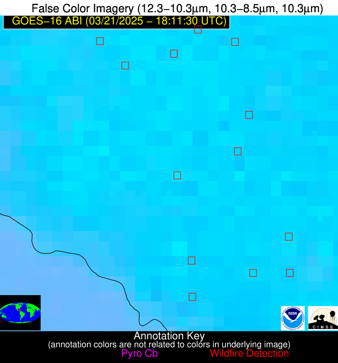
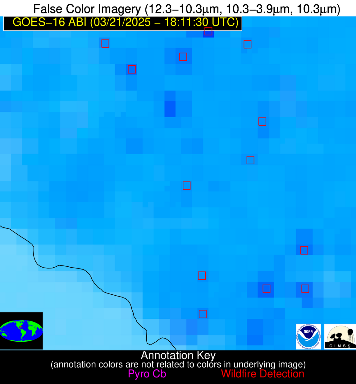
| Number Of Thermal Anomaly Alerts: | 12 |
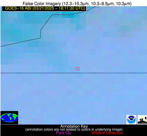
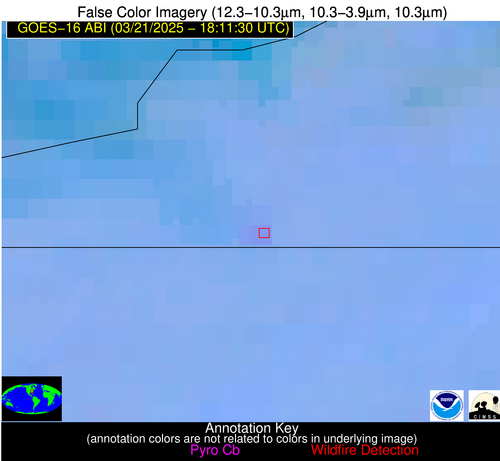
Possible Wildfire
| Basic Information | |
|---|---|
| State/Province(s) | VA |
| Country/Countries | United States |
| County/Locality(s) | Scott County, VA |
| NWS WFO | Morristown TN |
| Identification Method | Enhanced Contextual (Clear) |
| Mean Object Date/Time | 2025-03-21 18:11:52UTC |
| Radiative Center (Lat, Lon): | 36.618332°, -82.972778° |
| Nearby Counties (meeting alert criteria): |
|
| Total Radiative Power Anomaly | n/a |
| Total Radiative Power | 7.91 MW |
| Map: | |
| Additional Information | |
| Alert Status | New Feature |
| Type of Event | Nominal Risk |
| Event Priority Ranking | 4 |
| Maximum Observed BT (3.9 um) | 299.06 K |
| Observed - Background BT (3.9 um) | 2.77 K |
| BT Anomaly (3.9 um) | 4.43 K |
| Maximum Observed - Clear RTM BT (3.9 um) | 15.65 K |
| Maximum Observed BTD (3.9-10/11/12 um) | 10.83 K |
| Observed - Background BTD (3.9-10/11/12 um) | 2.89 K |
| BTD Anomaly (3.9-10/11/12 um) | 5.91 K |
| Similar Pixel Count | 25 |
| BT Time Tendency (3.9 um) | 0.70 K |
| Image Interval | 5.00 minutes |
| Fraction of Surrounding LWIR Pixels that are Colder | 0.40 |
| Fraction of Surrounding Red Channel Pixels that are Brighter | 1.00 |
| Maximum Radiative Power | 7.91 MW |
| Maximum Radiative Power Uncertainty | 0.00 MW |
| Total Radiative Power Uncertainty | 0.00 MW |
| Mean Viewing Angle | 43.40° |
| Mean Solar Zenith Angle | 37.60° |
| Mean Glint Angle | 78.60° |
| Water Fraction | 0.00 |
| Total Pixel Area | 5.50 km2 |
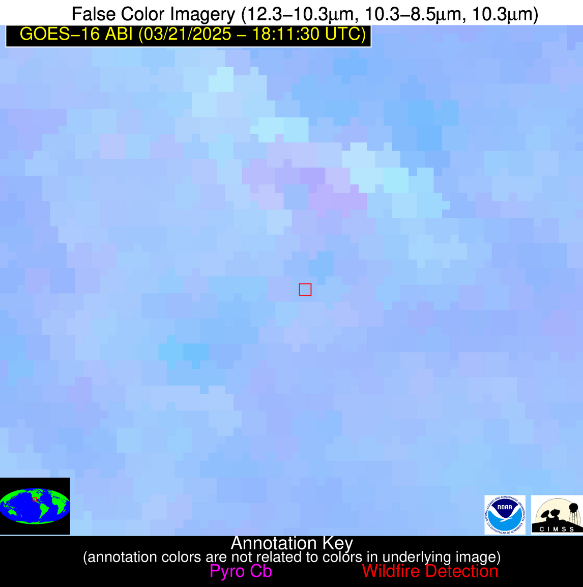
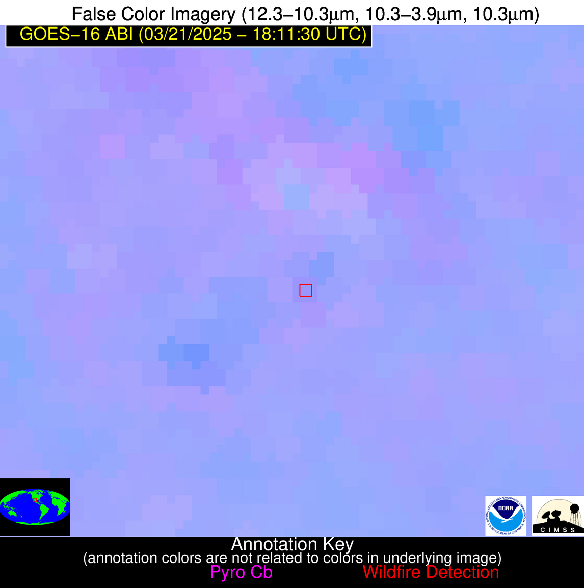
| Latest Satellite Imagery: | |
| View all event imagery » | |
Possible Wildfire
| Basic Information | |
|---|---|
| State/Province(s) | AR |
| Country/Countries | United States |
| County/Locality(s) | Clark County, AR |
| NWS WFO | Little Rock AR |
| Identification Method | Enhanced Contextual (Clear) |
| Mean Object Date/Time | 2025-03-21 18:12:20UTC |
| Radiative Center (Lat, Lon): | 33.860001°, -93.154724° |
| Nearby Counties (meeting alert criteria): |
|
| Total Radiative Power Anomaly | n/a |
| Total Radiative Power | 21.99 MW |
| Map: | |
| Additional Information | |
| Alert Status | New Feature |
| Type of Event | Nominal Risk |
| Event Priority Ranking | 4 |
| Maximum Observed BT (3.9 um) | 304.39 K |
| Observed - Background BT (3.9 um) | 6.47 K |
| BT Anomaly (3.9 um) | 6.29 K |
| Maximum Observed - Clear RTM BT (3.9 um) | 15.37 K |
| Maximum Observed BTD (3.9-10/11/12 um) | 13.06 K |
| Observed - Background BTD (3.9-10/11/12 um) | 6.95 K |
| BTD Anomaly (3.9-10/11/12 um) | 10.25 K |
| Similar Pixel Count | 2 |
| BT Time Tendency (3.9 um) | 3.90 K |
| Image Interval | 5.00 minutes |
| Fraction of Surrounding LWIR Pixels that are Colder | 0.32 |
| Fraction of Surrounding Red Channel Pixels that are Brighter | 1.00 |
| Maximum Radiative Power | 21.99 MW |
| Maximum Radiative Power Uncertainty | 0.00 MW |
| Total Radiative Power Uncertainty | 0.00 MW |
| Mean Viewing Angle | 43.90° |
| Mean Solar Zenith Angle | 34.10° |
| Mean Glint Angle | 75.80° |
| Water Fraction | 0.00 |
| Total Pixel Area | 5.60 km2 |
| Latest Satellite Imagery: | |
| View all event imagery » | |
Possible Wildfire
| Basic Information | |
|---|---|
| State/Province(s) | GA |
| Country/Countries | United States |
| County/Locality(s) | Macon County, GA |
| NWS WFO | Peachtree City GA |
| Identification Method | Enhanced Contextual (Clear) |
| Mean Object Date/Time | 2025-03-21 18:12:21UTC |
| Radiative Center (Lat, Lon): | 32.402222°, -84.035004° |
| Nearby Counties (meeting alert criteria): |
|
| Total Radiative Power Anomaly | n/a |
| Total Radiative Power | 15.93 MW |
| Map: | |
| Additional Information | |
| Alert Status | New Feature |
| Type of Event | Nominal Risk |
| Event Priority Ranking | 4 |
| Maximum Observed BT (3.9 um) | 303.54 K |
| Observed - Background BT (3.9 um) | 4.06 K |
| BT Anomaly (3.9 um) | 2.96 K |
| Maximum Observed - Clear RTM BT (3.9 um) | 11.25 K |
| Maximum Observed BTD (3.9-10/11/12 um) | 11.60 K |
| Observed - Background BTD (3.9-10/11/12 um) | 5.48 K |
| BTD Anomaly (3.9-10/11/12 um) | 8.31 K |
| Similar Pixel Count | 7 |
| BT Time Tendency (3.9 um) | 2.40 K |
| Image Interval | 5.00 minutes |
| Fraction of Surrounding LWIR Pixels that are Colder | 0.06 |
| Fraction of Surrounding Red Channel Pixels that are Brighter | 1.00 |
| Maximum Radiative Power | 15.93 MW |
| Maximum Radiative Power Uncertainty | 0.00 MW |
| Total Radiative Power Uncertainty | 0.00 MW |
| Mean Viewing Angle | 39.00° |
| Mean Solar Zenith Angle | 33.30° |
| Mean Glint Angle | 69.80° |
| Water Fraction | 0.00 |
| Total Pixel Area | 5.10 km2 |
| Latest Satellite Imagery: | |
| View all event imagery » | |
Possible Wildfire
| Basic Information | |
|---|---|
| State/Province(s) | GA |
| Country/Countries | United States |
| County/Locality(s) | Ben Hill County, GA |
| NWS WFO | Tallahassee FL |
| Identification Method | Enhanced Contextual (Clear) |
| Mean Object Date/Time | 2025-03-21 18:12:21UTC |
| Radiative Center (Lat, Lon): | 31.758055°, -83.317497° |
| Nearby Counties (meeting alert criteria): |
|
| Total Radiative Power Anomaly | n/a |
| Total Radiative Power | 35.48 MW |
| Map: | |
| Additional Information | |
| Alert Status | New Feature |
| Type of Event | Nominal Risk |
| Event Priority Ranking | 4 |
| Maximum Observed BT (3.9 um) | 306.50 K |
| Observed - Background BT (3.9 um) | 6.07 K |
| BT Anomaly (3.9 um) | 3.31 K |
| Maximum Observed - Clear RTM BT (3.9 um) | 15.07 K |
| Maximum Observed BTD (3.9-10/11/12 um) | 12.73 K |
| Observed - Background BTD (3.9-10/11/12 um) | 6.27 K |
| BTD Anomaly (3.9-10/11/12 um) | 7.64 K |
| Similar Pixel Count | 4 |
| BT Time Tendency (3.9 um) | 3.10 K |
| Image Interval | 5.00 minutes |
| Fraction of Surrounding LWIR Pixels that are Colder | 0.43 |
| Fraction of Surrounding Red Channel Pixels that are Brighter | 0.98 |
| Maximum Radiative Power | 18.90 MW |
| Maximum Radiative Power Uncertainty | 0.00 MW |
| Total Radiative Power Uncertainty | 0.00 MW |
| Mean Viewing Angle | 38.10° |
| Mean Solar Zenith Angle | 32.80° |
| Mean Glint Angle | 68.40° |
| Water Fraction | 0.00 |
| Total Pixel Area | 10.20 km2 |
| Latest Satellite Imagery: | |
| View all event imagery » | |
Possible Wildfire
| Basic Information | |
|---|---|
| State/Province(s) | MS |
| Country/Countries | United States |
| County/Locality(s) | Jasper County, MS |
| NWS WFO | Jackson MS |
| Identification Method | Enhanced Contextual (Clear) |
| Mean Object Date/Time | 2025-03-21 18:12:21UTC |
| Radiative Center (Lat, Lon): | 31.824167°, -89.281113° |
| Nearby Counties (meeting alert criteria): |
|
| Total Radiative Power Anomaly | n/a |
| Total Radiative Power | 18.83 MW |
| Map: | |
| Additional Information | |
| Alert Status | New Feature |
| Type of Event | Nominal Risk |
| Event Priority Ranking | 4 |
| Maximum Observed BT (3.9 um) | 302.00 K |
| Observed - Background BT (3.9 um) | 3.67 K |
| BT Anomaly (3.9 um) | 2.99 K |
| Maximum Observed - Clear RTM BT (3.9 um) | 12.58 K |
| Maximum Observed BTD (3.9-10/11/12 um) | 8.92 K |
| Observed - Background BTD (3.9-10/11/12 um) | 3.76 K |
| BTD Anomaly (3.9-10/11/12 um) | 8.62 K |
| Similar Pixel Count | 4 |
| BT Time Tendency (3.9 um) | 2.60 K |
| Image Interval | 5.00 minutes |
| Fraction of Surrounding LWIR Pixels that are Colder | 0.47 |
| Fraction of Surrounding Red Channel Pixels that are Brighter | 1.00 |
| Maximum Radiative Power | 10.25 MW |
| Maximum Radiative Power Uncertainty | 0.00 MW |
| Total Radiative Power Uncertainty | 0.00 MW |
| Mean Viewing Angle | 40.20° |
| Mean Solar Zenith Angle | 32.10° |
| Mean Glint Angle | 69.80° |
| Water Fraction | 0.00 |
| Total Pixel Area | 10.50 km2 |
| Latest Satellite Imagery: | |
| View all event imagery » | |
Possible Wildfire
| Basic Information | |
|---|---|
| State/Province(s) | MS |
| Country/Countries | United States |
| County/Locality(s) | Lincoln County, MS |
| NWS WFO | Jackson MS |
| Identification Method | Enhanced Contextual (Clear) |
| Mean Object Date/Time | 2025-03-21 18:12:21UTC |
| Radiative Center (Lat, Lon): | 31.686666°, -90.355003° |
| Nearby Counties (meeting alert criteria): |
|
| Total Radiative Power Anomaly | n/a |
| Total Radiative Power | 9.92 MW |
| Map: | |
| Additional Information | |
| Alert Status | New Feature |
| Type of Event | Nominal Risk |
| Event Priority Ranking | 4 |
| Maximum Observed BT (3.9 um) | 302.04 K |
| Observed - Background BT (3.9 um) | 3.39 K |
| BT Anomaly (3.9 um) | 3.55 K |
| Maximum Observed - Clear RTM BT (3.9 um) | 13.42 K |
| Maximum Observed BTD (3.9-10/11/12 um) | 8.68 K |
| Observed - Background BTD (3.9-10/11/12 um) | 3.58 K |
| BTD Anomaly (3.9-10/11/12 um) | 9.04 K |
| Similar Pixel Count | 3 |
| BT Time Tendency (3.9 um) | 3.20 K |
| Image Interval | 5.00 minutes |
| Fraction of Surrounding LWIR Pixels that are Colder | 0.38 |
| Fraction of Surrounding Red Channel Pixels that are Brighter | 1.00 |
| Maximum Radiative Power | 9.92 MW |
| Maximum Radiative Power Uncertainty | 0.00 MW |
| Total Radiative Power Uncertainty | 0.00 MW |
| Mean Viewing Angle | 40.50° |
| Mean Solar Zenith Angle | 31.90° |
| Mean Glint Angle | 70.00° |
| Water Fraction | 0.00 |
| Total Pixel Area | 5.30 km2 |
| Latest Satellite Imagery: | |
| View all event imagery » | |
Possible Wildfire
| Basic Information | |
|---|---|
| State/Province(s) | AL |
| Country/Countries | United States |
| County/Locality(s) | Washington County, AL |
| NWS WFO | Mobile AL |
| Identification Method | Enhanced Contextual (Clear) |
| Mean Object Date/Time | 2025-03-21 18:12:21UTC |
| Radiative Center (Lat, Lon): | 31.616667°, -88.379448° |
| Nearby Counties (meeting alert criteria): |
|
| Total Radiative Power Anomaly | n/a |
| Total Radiative Power | 40.11 MW |
| Map: | |
| Additional Information | |
| Alert Status | New Feature |
| Type of Event | Nominal Risk |
| Event Priority Ranking | 4 |
| Maximum Observed BT (3.9 um) | 306.64 K |
| Observed - Background BT (3.9 um) | 8.29 K |
| BT Anomaly (3.9 um) | 9.42 K |
| Maximum Observed - Clear RTM BT (3.9 um) | 14.02 K |
| Maximum Observed BTD (3.9-10/11/12 um) | 13.11 K |
| Observed - Background BTD (3.9-10/11/12 um) | 8.26 K |
| BTD Anomaly (3.9-10/11/12 um) | 25.00 K |
| Similar Pixel Count | 2 |
| BT Time Tendency (3.9 um) | 7.70 K |
| Image Interval | 5.00 minutes |
| Fraction of Surrounding LWIR Pixels that are Colder | 0.52 |
| Fraction of Surrounding Red Channel Pixels that are Brighter | 1.00 |
| Maximum Radiative Power | 23.56 MW |
| Maximum Radiative Power Uncertainty | 0.00 MW |
| Total Radiative Power Uncertainty | 0.00 MW |
| Mean Viewing Angle | 39.60° |
| Mean Solar Zenith Angle | 31.90° |
| Mean Glint Angle | 69.00° |
| Water Fraction | 0.00 |
| Total Pixel Area | 10.40 km2 |
| Latest Satellite Imagery: | |
| View all event imagery » | |
Possible Wildfire
| Basic Information | |
|---|---|
| State/Province(s) | GA |
| Country/Countries | United States |
| County/Locality(s) | Thomas County, GA |
| NWS WFO | Tallahassee FL |
| Identification Method | Enhanced Contextual (Clear) |
| Mean Object Date/Time | 2025-03-21 18:12:21UTC |
| Radiative Center (Lat, Lon): | 30.749166°, -83.936668° |
| Nearby Counties (meeting alert criteria): |
|
| Total Radiative Power Anomaly | n/a |
| Total Radiative Power | 9.71 MW |
| Map: | |
| Additional Information | |
| Alert Status | New Feature |
| Type of Event | Nominal Risk |
| Event Priority Ranking | 4 |
| Maximum Observed BT (3.9 um) | 305.50 K |
| Observed - Background BT (3.9 um) | 4.74 K |
| BT Anomaly (3.9 um) | 2.71 K |
| Maximum Observed - Clear RTM BT (3.9 um) | 15.63 K |
| Maximum Observed BTD (3.9-10/11/12 um) | 9.88 K |
| Observed - Background BTD (3.9-10/11/12 um) | 3.70 K |
| BTD Anomaly (3.9-10/11/12 um) | 2.68 K |
| Similar Pixel Count | 3 |
| BT Time Tendency (3.9 um) | 2.00 K |
| Image Interval | 5.00 minutes |
| Fraction of Surrounding LWIR Pixels that are Colder | 0.91 |
| Fraction of Surrounding Red Channel Pixels that are Brighter | 1.00 |
| Maximum Radiative Power | 9.71 MW |
| Maximum Radiative Power Uncertainty | 0.00 MW |
| Total Radiative Power Uncertainty | 0.00 MW |
| Mean Viewing Angle | 37.20° |
| Mean Solar Zenith Angle | 31.70° |
| Mean Glint Angle | 66.30° |
| Water Fraction | 0.00 |
| Total Pixel Area | 5.00 km2 |
| Latest Satellite Imagery: | |
| View all event imagery » | |
Possible Wildfire
| Basic Information | |
|---|---|
| State/Province(s) | LA |
| Country/Countries | United States |
| County/Locality(s) | Allen Parish, LA |
| NWS WFO | Lake Charles LA |
| Identification Method | Enhanced Contextual (Clear) |
| Mean Object Date/Time | 2025-03-21 18:12:20UTC |
| Radiative Center (Lat, Lon): | 30.465834°, -93.093330° |
| Nearby Counties (meeting alert criteria): |
|
| Total Radiative Power Anomaly | n/a |
| Total Radiative Power | 7.51 MW |
| Map: | |
| Additional Information | |
| Alert Status | New Feature |
| Type of Event | Nominal Risk |
| Event Priority Ranking | 4 |
| Maximum Observed BT (3.9 um) | 302.04 K |
| Observed - Background BT (3.9 um) | 2.48 K |
| BT Anomaly (3.9 um) | 1.79 K |
| Maximum Observed - Clear RTM BT (3.9 um) | 11.79 K |
| Maximum Observed BTD (3.9-10/11/12 um) | 8.93 K |
| Observed - Background BTD (3.9-10/11/12 um) | 2.63 K |
| BTD Anomaly (3.9-10/11/12 um) | 2.84 K |
| Similar Pixel Count | 12 |
| BT Time Tendency (3.9 um) | 1.00 K |
| Image Interval | 5.00 minutes |
| Fraction of Surrounding LWIR Pixels that are Colder | 0.40 |
| Fraction of Surrounding Red Channel Pixels that are Brighter | 1.00 |
| Maximum Radiative Power | 7.51 MW |
| Maximum Radiative Power Uncertainty | 0.00 MW |
| Total Radiative Power Uncertainty | 0.00 MW |
| Mean Viewing Angle | 40.60° |
| Mean Solar Zenith Angle | 30.80° |
| Mean Glint Angle | 69.00° |
| Water Fraction | 0.00 |
| Total Pixel Area | 5.30 km2 |
| Latest Satellite Imagery: | |
| View all event imagery » | |
Possible Wildfire
| Basic Information | |
|---|---|
| State/Province(s) | LA |
| Country/Countries | United States |
| County/Locality(s) | Calcasieu Parish, LA |
| NWS WFO | Lake Charles LA |
| Identification Method | Enhanced Contextual (Cloud) |
| Mean Object Date/Time | 2025-03-21 18:12:50UTC |
| Radiative Center (Lat, Lon): | 30.179167°, -93.468056° |
| Nearby Counties (meeting alert criteria): |
|
| Total Radiative Power Anomaly | n/a |
| Total Radiative Power | 25.74 MW |
| Map: | |
| Additional Information | |
| Alert Status | New Feature |
| Type of Event | Nominal Risk |
| Event Priority Ranking | 4 |
| Maximum Observed BT (3.9 um) | 309.73 K |
| Observed - Background BT (3.9 um) | 9.23 K |
| BT Anomaly (3.9 um) | 4.82 K |
| Maximum Observed - Clear RTM BT (3.9 um) | 17.29 K |
| Maximum Observed BTD (3.9-10/11/12 um) | 15.32 K |
| Observed - Background BTD (3.9-10/11/12 um) | 8.36 K |
| BTD Anomaly (3.9-10/11/12 um) | 7.91 K |
| Similar Pixel Count | 0 |
| BT Time Tendency (3.9 um) | 7.30 K |
| Image Interval | 5.00 minutes |
| Fraction of Surrounding LWIR Pixels that are Colder | 0.84 |
| Fraction of Surrounding Red Channel Pixels that are Brighter | 0.88 |
| Maximum Radiative Power | 25.74 MW |
| Maximum Radiative Power Uncertainty | 0.00 MW |
| Total Radiative Power Uncertainty | 0.00 MW |
| Mean Viewing Angle | 40.50° |
| Mean Solar Zenith Angle | 30.50° |
| Mean Glint Angle | 68.70° |
| Water Fraction | 0.00 |
| Total Pixel Area | 5.30 km2 |
| Latest Satellite Imagery: | |
| View all event imagery » | |
Possible Wildfire
| Basic Information | |
|---|---|
| State/Province(s) | Chihuahua |
| Country/Countries | Mexico |
| County/Locality(s) | Cuauhtémoc, Chihuahua |
| NWS WFO | N/A |
| Identification Method | Enhanced Contextual (Clear) |
| Mean Object Date/Time | 2025-03-21 18:12:49UTC |
| Radiative Center (Lat, Lon): | 28.465279°, -106.760002° |
| Nearby Counties (meeting alert criteria): |
|
| Total Radiative Power Anomaly | n/a |
| Total Radiative Power | 12.09 MW |
| Map: | |
| Additional Information | |
| Alert Status | New Feature |
| Type of Event | Nominal Risk |
| Event Priority Ranking | 4 |
| Maximum Observed BT (3.9 um) | 321.32 K |
| Observed - Background BT (3.9 um) | 2.08 K |
| BT Anomaly (3.9 um) | 1.54 K |
| Maximum Observed - Clear RTM BT (3.9 um) | 17.44 K |
| Maximum Observed BTD (3.9-10/11/12 um) | 10.65 K |
| Observed - Background BTD (3.9-10/11/12 um) | 1.91 K |
| BTD Anomaly (3.9-10/11/12 um) | 2.69 K |
| Similar Pixel Count | 25 |
| BT Time Tendency (3.9 um) | 1.60 K |
| Image Interval | 5.00 minutes |
| Fraction of Surrounding LWIR Pixels that are Colder | 0.60 |
| Fraction of Surrounding Red Channel Pixels that are Brighter | 0.86 |
| Maximum Radiative Power | 12.09 MW |
| Maximum Radiative Power Uncertainty | 0.00 MW |
| Total Radiative Power Uncertainty | 0.00 MW |
| Mean Viewing Angle | 48.00° |
| Mean Solar Zenith Angle | 32.40° |
| Mean Glint Angle | 78.80° |
| Water Fraction | 0.00 |
| Total Pixel Area | 6.00 km2 |
| Latest Satellite Imagery: | |
| View all event imagery » | |
Possible Wildfire
| Basic Information | |
|---|---|
| State/Province(s) | Unknown |
| Country/Countries | Cuba |
| County/Locality(s) | Unknown, Unknown |
| NWS WFO | N/A |
| Identification Method | Enhanced Contextual (Cloud) |
| Mean Object Date/Time | 2025-03-21 18:13:22UTC |
| Radiative Center (Lat, Lon): | 21.080833°, -78.179726° |
| Nearby Counties (meeting alert criteria): |
|
| Total Radiative Power Anomaly | n/a |
| Total Radiative Power | 7.10 MW |
| Map: | |
| Additional Information | |
| Alert Status | New Feature |
| Type of Event | Nominal Risk |
| Event Priority Ranking | 4 |
| Maximum Observed BT (3.9 um) | 322.52 K |
| Observed - Background BT (3.9 um) | 3.02 K |
| BT Anomaly (3.9 um) | 1.57 K |
| Maximum Observed - Clear RTM BT (3.9 um) | 10.72 K |
| Maximum Observed BTD (3.9-10/11/12 um) | 15.31 K |
| Observed - Background BTD (3.9-10/11/12 um) | 1.99 K |
| BTD Anomaly (3.9-10/11/12 um) | 1.31 K |
| Similar Pixel Count | 0 |
| BT Time Tendency (3.9 um) | -0.20 K |
| Image Interval | 5.00 minutes |
| Fraction of Surrounding LWIR Pixels that are Colder | 0.94 |
| Fraction of Surrounding Red Channel Pixels that are Brighter | 1.00 |
| Maximum Radiative Power | 7.10 MW |
| Maximum Radiative Power Uncertainty | 0.00 MW |
| Total Radiative Power Uncertainty | 0.00 MW |
| Mean Viewing Angle | 25.00° |
| Mean Solar Zenith Angle | 24.70° |
| Mean Glint Angle | 46.60° |
| Water Fraction | 0.00 |
| Total Pixel Area | 8.80 km2 |
| Latest Satellite Imagery: | |
| View all event imagery » | |
