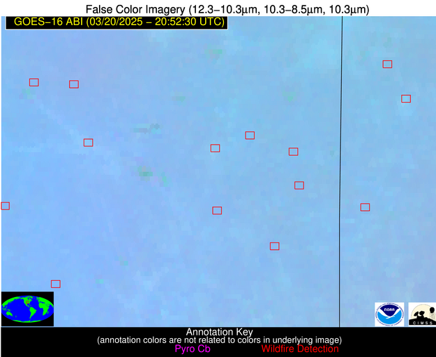
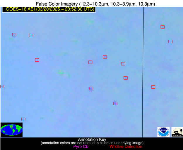
Wildfire Alert Report
| Date: | 2025-03-20 |
|---|---|
| Time: | 20:52:24 |
| Production Date and Time: | 2025-03-20 20:53:07 UTC |
| Primary Instrument: | GOES-16 ABI |
| Wmo Spacecraft Id: | 152 |
| Location/orbit: | GEO |
| L1 File: | OR_ABI-L1b-RadM1-M6C14_G16_s20250792052249_e20250792052307_c20250792052366.nc |
| L1 File(s) - Temporal | OR_ABI-L1b-RadM1-M6C14_G16_s20250792051249_e20250792051307_c20250792051359.nc |
| Number Of Thermal Anomaly Alerts: | 2 |
Possible Wildfire
| Basic Information | |
|---|---|
| State/Province(s) | MO |
| Country/Countries | United States |
| County/Locality(s) | Jackson County, MO |
| NWS WFO | Kansas City/Pleasant Hill MO |
| Identification Method | Enhanced Contextual (Clear) |
| Mean Object Date/Time | 2025-03-20 20:52:30UTC |
| Radiative Center (Lat, Lon): | 38.851944°, -94.324165° |
| Nearby Counties (meeting alert criteria): |
|
| Total Radiative Power Anomaly | n/a |
| Total Radiative Power | 6.74 MW |
| Map: | |
| Additional Information | |
| Alert Status | New Feature |
| Type of Event | Nominal Risk |
| Event Priority Ranking | 4 |
| Maximum Observed BT (3.9 um) | 294.73 K |
| Observed - Background BT (3.9 um) | 1.77 K |
| BT Anomaly (3.9 um) | 2.00 K |
| Maximum Observed - Clear RTM BT (3.9 um) | 14.67 K |
| Maximum Observed BTD (3.9-10/11/12 um) | 8.55 K |
| Observed - Background BTD (3.9-10/11/12 um) | 2.48 K |
| BTD Anomaly (3.9-10/11/12 um) | 8.16 K |
| Similar Pixel Count | 23 |
| BT Time Tendency (3.9 um) | 1.10 K |
| Image Interval | 1.00 minutes |
| Fraction of Surrounding LWIR Pixels that are Colder | 0.14 |
| Fraction of Surrounding Red Channel Pixels that are Brighter | 1.00 |
| Maximum Radiative Power | 6.74 MW |
| Maximum Radiative Power Uncertainty | 0.00 MW |
| Total Radiative Power Uncertainty | 0.00 MW |
| Mean Viewing Angle | 49.40° |
| Mean Solar Zenith Angle | 51.90° |
| Mean Glint Angle | 73.80° |
| Water Fraction | 0.00 |
| Total Pixel Area | 6.10 km2 |
| Latest Satellite Imagery: | |
| View all event imagery » | |
Possible Wildfire
| Basic Information | |
|---|---|
| State/Province(s) | KS |
| Country/Countries | United States |
| County/Locality(s) | Greenwood County, KS |
| NWS WFO | Wichita KS |
| Identification Method | Enhanced Contextual (Clear) |
| Mean Object Date/Time | 2025-03-20 20:52:30UTC |
| Radiative Center (Lat, Lon): | 37.639721°, -96.351112° |
| Nearby Counties (meeting alert criteria): |
|
| Total Radiative Power Anomaly | n/a |
| Total Radiative Power | 11.34 MW |
| Map: | |
| Additional Information | |
| Alert Status | New Feature |
| Type of Event | Nominal Risk |
| Event Priority Ranking | 4 |
| Maximum Observed BT (3.9 um) | 301.28 K |
| Observed - Background BT (3.9 um) | 4.27 K |
| BT Anomaly (3.9 um) | 8.19 K |
| Maximum Observed - Clear RTM BT (3.9 um) | 17.82 K |
| Maximum Observed BTD (3.9-10/11/12 um) | 9.57 K |
| Observed - Background BTD (3.9-10/11/12 um) | 3.66 K |
| BTD Anomaly (3.9-10/11/12 um) | 17.37 K |
| Similar Pixel Count | 3 |
| BT Time Tendency (3.9 um) | 2.70 K |
| Image Interval | 1.00 minutes |
| Fraction of Surrounding LWIR Pixels that are Colder | 0.88 |
| Fraction of Surrounding Red Channel Pixels that are Brighter | 1.00 |
| Maximum Radiative Power | 11.34 MW |
| Maximum Radiative Power Uncertainty | 0.00 MW |
| Total Radiative Power Uncertainty | 0.00 MW |
| Mean Viewing Angle | 49.10° |
| Mean Solar Zenith Angle | 49.90° |
| Mean Glint Angle | 71.10° |
| Water Fraction | 0.00 |
| Total Pixel Area | 6.10 km2 |
| Latest Satellite Imagery: | |
| View all event imagery » | |


