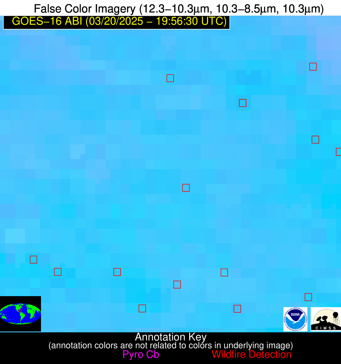
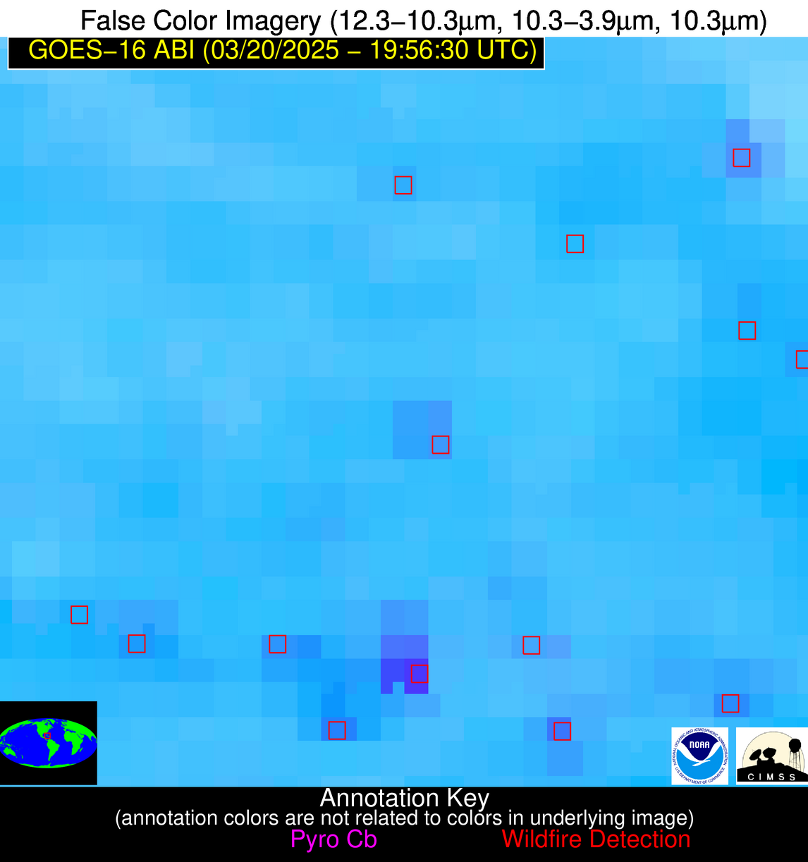
Wildfire Alert Report
| Date: | 2025-03-20 |
|---|---|
| Time: | 19:56:17 |
| Production Date and Time: | 2025-03-20 20:01:14 UTC |
| Primary Instrument: | GOES-16 ABI |
| Wmo Spacecraft Id: | 152 |
| Location/orbit: | GEO |
| L1 File: | OR_ABI-L1b-RadC-M6C14_G16_s20250791956171_e20250791958544_c20250791959040.nc |
| L1 File(s) - Temporal | OR_ABI-L1b-RadC-M6C14_G16_s20250791951171_e20250791953544_c20250791954027.nc |
| Number Of Thermal Anomaly Alerts: | 7 |
Possible Wildfire
| Basic Information | |
|---|---|
| State/Province(s) | KS |
| Country/Countries | United States |
| County/Locality(s) | Lincoln County, KS |
| NWS WFO | Wichita KS |
| Identification Method | Enhanced Contextual (Clear) |
| Mean Object Date/Time | 2025-03-20 19:56:50UTC |
| Radiative Center (Lat, Lon): | 39.196388°, -98.085281° |
| Nearby Counties (meeting alert criteria): |
|
| Total Radiative Power Anomaly | n/a |
| Total Radiative Power | 6.34 MW |
| Map: | |
| Additional Information | |
| Alert Status | New Feature |
| Type of Event | Nominal Risk |
| Event Priority Ranking | 4 |
| Maximum Observed BT (3.9 um) | 299.62 K |
| Observed - Background BT (3.9 um) | 1.79 K |
| BT Anomaly (3.9 um) | 1.89 K |
| Maximum Observed - Clear RTM BT (3.9 um) | 21.49 K |
| Maximum Observed BTD (3.9-10/11/12 um) | 9.54 K |
| Observed - Background BTD (3.9-10/11/12 um) | 1.83 K |
| BTD Anomaly (3.9-10/11/12 um) | 3.65 K |
| Similar Pixel Count | 25 |
| BT Time Tendency (3.9 um) | 1.40 K |
| Image Interval | 5.00 minutes |
| Fraction of Surrounding LWIR Pixels that are Colder | 0.43 |
| Fraction of Surrounding Red Channel Pixels that are Brighter | 1.00 |
| Maximum Radiative Power | 6.34 MW |
| Maximum Radiative Power Uncertainty | 0.00 MW |
| Total Radiative Power Uncertainty | 0.00 MW |
| Mean Viewing Angle | 51.40° |
| Mean Solar Zenith Angle | 43.50° |
| Mean Glint Angle | 78.50° |
| Water Fraction | 0.00 |
| Total Pixel Area | 6.40 km2 |
| Latest Satellite Imagery: | |
| View all event imagery » | |
Possible Wildfire
| Basic Information | |
|---|---|
| State/Province(s) | KS |
| Country/Countries | United States |
| County/Locality(s) | Harper County, KS |
| NWS WFO | Wichita KS |
| Identification Method | Enhanced Contextual (Clear) |
| Mean Object Date/Time | 2025-03-20 19:56:50UTC |
| Radiative Center (Lat, Lon): | 37.321110°, -98.054443° |
| Nearby Counties (meeting alert criteria): |
|
| Total Radiative Power Anomaly | n/a |
| Total Radiative Power | 6.32 MW |
| Map: | |
| Additional Information | |
| Alert Status | New Feature |
| Type of Event | Nominal Risk |
| Event Priority Ranking | 4 |
| Maximum Observed BT (3.9 um) | 303.54 K |
| Observed - Background BT (3.9 um) | 2.25 K |
| BT Anomaly (3.9 um) | 3.17 K |
| Maximum Observed - Clear RTM BT (3.9 um) | 18.28 K |
| Maximum Observed BTD (3.9-10/11/12 um) | 9.17 K |
| Observed - Background BTD (3.9-10/11/12 um) | 1.76 K |
| BTD Anomaly (3.9-10/11/12 um) | 5.18 K |
| Similar Pixel Count | 25 |
| BT Time Tendency (3.9 um) | 0.60 K |
| Image Interval | 5.00 minutes |
| Fraction of Surrounding LWIR Pixels that are Colder | 0.80 |
| Fraction of Surrounding Red Channel Pixels that are Brighter | 1.00 |
| Maximum Radiative Power | 6.32 MW |
| Maximum Radiative Power Uncertainty | 0.00 MW |
| Total Radiative Power Uncertainty | 0.00 MW |
| Mean Viewing Angle | 49.60° |
| Mean Solar Zenith Angle | 41.80° |
| Mean Glint Angle | 75.00° |
| Water Fraction | 0.00 |
| Total Pixel Area | 6.20 km2 |
| Latest Satellite Imagery: | |
| View all event imagery » | |
Possible Wildfire
| Basic Information | |
|---|---|
| State/Province(s) | KS |
| Country/Countries | United States |
| County/Locality(s) | Sumner County, KS |
| NWS WFO | Wichita KS |
| Identification Method | Enhanced Contextual (Clear) |
| Mean Object Date/Time | 2025-03-20 19:56:50UTC |
| Radiative Center (Lat, Lon): | 37.117222°, -97.503609° |
| Nearby Counties (meeting alert criteria): |
|
| Total Radiative Power Anomaly | n/a |
| Total Radiative Power | 27.13 MW |
| Map: | |
| Additional Information | |
| Alert Status | New Feature |
| Type of Event | Nominal Risk |
| Event Priority Ranking | 4 |
| Maximum Observed BT (3.9 um) | 308.41 K |
| Observed - Background BT (3.9 um) | 4.47 K |
| BT Anomaly (3.9 um) | 4.99 K |
| Maximum Observed - Clear RTM BT (3.9 um) | 24.16 K |
| Maximum Observed BTD (3.9-10/11/12 um) | 11.40 K |
| Observed - Background BTD (3.9-10/11/12 um) | 3.62 K |
| BTD Anomaly (3.9-10/11/12 um) | 10.47 K |
| Similar Pixel Count | 20 |
| BT Time Tendency (3.9 um) | 2.30 K |
| Image Interval | 5.00 minutes |
| Fraction of Surrounding LWIR Pixels that are Colder | 0.88 |
| Fraction of Surrounding Red Channel Pixels that are Brighter | 1.00 |
| Maximum Radiative Power | 14.48 MW |
| Maximum Radiative Power Uncertainty | 0.00 MW |
| Total Radiative Power Uncertainty | 0.00 MW |
| Mean Viewing Angle | 49.20° |
| Mean Solar Zenith Angle | 41.90° |
| Mean Glint Angle | 74.50° |
| Water Fraction | 0.00 |
| Total Pixel Area | 12.20 km2 |
| Latest Satellite Imagery: | |
| View all event imagery » | |
Possible Wildfire
| Basic Information | |
|---|---|
| State/Province(s) | AR |
| Country/Countries | United States |
| County/Locality(s) | Mississippi County, AR |
| NWS WFO | Memphis TN |
| Identification Method | Enhanced Contextual (Clear) |
| Mean Object Date/Time | 2025-03-20 19:57:21UTC |
| Radiative Center (Lat, Lon): | 35.957222°, -89.764725° |
| Nearby Counties (meeting alert criteria): |
|
| Total Radiative Power Anomaly | n/a |
| Total Radiative Power | 25.15 MW |
| Map: | |
| Additional Information | |
| Alert Status | New Feature |
| Type of Event | Nominal Risk |
| Event Priority Ranking | 4 |
| Maximum Observed BT (3.9 um) | 306.43 K |
| Observed - Background BT (3.9 um) | 7.49 K |
| BT Anomaly (3.9 um) | 4.23 K |
| Maximum Observed - Clear RTM BT (3.9 um) | 26.87 K |
| Maximum Observed BTD (3.9-10/11/12 um) | 19.50 K |
| Observed - Background BTD (3.9-10/11/12 um) | 7.87 K |
| BTD Anomaly (3.9-10/11/12 um) | 5.54 K |
| Similar Pixel Count | 4 |
| BT Time Tendency (3.9 um) | 4.20 K |
| Image Interval | 5.00 minutes |
| Fraction of Surrounding LWIR Pixels that are Colder | 0.70 |
| Fraction of Surrounding Red Channel Pixels that are Brighter | 0.41 |
| Maximum Radiative Power | 25.15 MW |
| Maximum Radiative Power Uncertainty | 0.00 MW |
| Total Radiative Power Uncertainty | 0.00 MW |
| Mean Viewing Angle | 44.60° |
| Mean Solar Zenith Angle | 44.60° |
| Mean Glint Angle | 72.90° |
| Water Fraction | 0.00 |
| Total Pixel Area | 5.60 km2 |
| Latest Satellite Imagery: | |
| View all event imagery » | |
Possible Wildfire
| Basic Information | |
|---|---|
| State/Province(s) | AR |
| Country/Countries | United States |
| County/Locality(s) | Craighead County, AR |
| NWS WFO | Memphis TN |
| Identification Method | Enhanced Contextual (Clear) |
| Mean Object Date/Time | 2025-03-20 19:57:21UTC |
| Radiative Center (Lat, Lon): | 35.740002°, -90.953888° |
| Nearby Counties (meeting alert criteria): |
|
| Total Radiative Power Anomaly | n/a |
| Total Radiative Power | 21.29 MW |
| Map: | |
| Additional Information | |
| Alert Status | New Feature |
| Type of Event | Nominal Risk |
| Event Priority Ranking | 4 |
| Maximum Observed BT (3.9 um) | 308.22 K |
| Observed - Background BT (3.9 um) | 6.54 K |
| BT Anomaly (3.9 um) | 3.34 K |
| Maximum Observed - Clear RTM BT (3.9 um) | 26.50 K |
| Maximum Observed BTD (3.9-10/11/12 um) | 18.17 K |
| Observed - Background BTD (3.9-10/11/12 um) | 5.38 K |
| BTD Anomaly (3.9-10/11/12 um) | 2.92 K |
| Similar Pixel Count | 10 |
| BT Time Tendency (3.9 um) | 4.90 K |
| Image Interval | 5.00 minutes |
| Fraction of Surrounding LWIR Pixels that are Colder | 0.94 |
| Fraction of Surrounding Red Channel Pixels that are Brighter | 0.95 |
| Maximum Radiative Power | 21.29 MW |
| Maximum Radiative Power Uncertainty | 0.00 MW |
| Total Radiative Power Uncertainty | 0.00 MW |
| Mean Viewing Angle | 44.90° |
| Mean Solar Zenith Angle | 43.80° |
| Mean Glint Angle | 72.20° |
| Water Fraction | 0.00 |
| Total Pixel Area | 5.60 km2 |
| Latest Satellite Imagery: | |
| View all event imagery » | |
Possible Wildfire
| Basic Information | |
|---|---|
| State/Province(s) | TX |
| Country/Countries | United States |
| County/Locality(s) | Liberty County, TX |
| NWS WFO | Houston/Galveston TX |
| Identification Method | Enhanced Contextual (Clear) |
| Mean Object Date/Time | 2025-03-20 19:57:50UTC |
| Radiative Center (Lat, Lon): | 30.025833°, -94.453613° |
| Nearby Counties (meeting alert criteria): |
|
| Total Radiative Power Anomaly | n/a |
| Total Radiative Power | 25.91 MW |
| Map: | |
| Additional Information | |
| Alert Status | New Feature |
| Type of Event | Elevated SPC Risk and Red Flag Warning |
| Event Priority Ranking | 1 |
| Maximum Observed BT (3.9 um) | 306.13 K |
| Observed - Background BT (3.9 um) | 9.18 K |
| BT Anomaly (3.9 um) | 3.73 K |
| Maximum Observed - Clear RTM BT (3.9 um) | 18.19 K |
| Maximum Observed BTD (3.9-10/11/12 um) | 13.36 K |
| Observed - Background BTD (3.9-10/11/12 um) | 9.10 K |
| BTD Anomaly (3.9-10/11/12 um) | 10.00 K |
| Similar Pixel Count | 3 |
| BT Time Tendency (3.9 um) | 7.50 K |
| Image Interval | 5.00 minutes |
| Fraction of Surrounding LWIR Pixels that are Colder | 0.38 |
| Fraction of Surrounding Red Channel Pixels that are Brighter | 1.00 |
| Maximum Radiative Power | 25.91 MW |
| Maximum Radiative Power Uncertainty | 0.00 MW |
| Total Radiative Power Uncertainty | 0.00 MW |
| Mean Viewing Angle | 40.90° |
| Mean Solar Zenith Angle | 37.50° |
| Mean Glint Angle | 60.70° |
| Water Fraction | 0.00 |
| Total Pixel Area | 5.30 km2 |
| Latest Satellite Imagery: | |
| View all event imagery » | |
Possible Wildfire
| Basic Information | |
|---|---|
| State/Province(s) | Unknown |
| Country/Countries | Cuba |
| County/Locality(s) | Unknown, Unknown |
| NWS WFO | N/A |
| Identification Method | Enhanced Contextual (Clear) |
| Mean Object Date/Time | 2025-03-20 19:58:22UTC |
| Radiative Center (Lat, Lon): | 21.996944°, -78.914719° |
| Nearby Counties (meeting alert criteria): |
|
| Total Radiative Power Anomaly | n/a |
| Total Radiative Power | 58.74 MW |
| Map: | |
| Additional Information | |
| Alert Status | New Feature |
| Type of Event | Nominal Risk |
| Event Priority Ranking | 4 |
| Maximum Observed BT (3.9 um) | 314.86 K |
| Observed - Background BT (3.9 um) | 4.85 K |
| BT Anomaly (3.9 um) | 1.95 K |
| Maximum Observed - Clear RTM BT (3.9 um) | 5.77 K |
| Maximum Observed BTD (3.9-10/11/12 um) | 12.42 K |
| Observed - Background BTD (3.9-10/11/12 um) | 5.25 K |
| BTD Anomaly (3.9-10/11/12 um) | 3.30 K |
| Similar Pixel Count | 4 |
| BT Time Tendency (3.9 um) | 2.70 K |
| Image Interval | 5.00 minutes |
| Fraction of Surrounding LWIR Pixels that are Colder | 0.40 |
| Fraction of Surrounding Red Channel Pixels that are Brighter | 0.90 |
| Maximum Radiative Power | 32.91 MW |
| Maximum Radiative Power Uncertainty | 0.00 MW |
| Total Radiative Power Uncertainty | 0.00 MW |
| Mean Viewing Angle | 26.20° |
| Mean Solar Zenith Angle | 43.60° |
| Mean Glint Angle | 55.80° |
| Water Fraction | 0.00 |
| Total Pixel Area | 17.80 km2 |
| Latest Satellite Imagery: | |
| View all event imagery » | |
