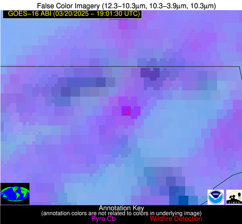
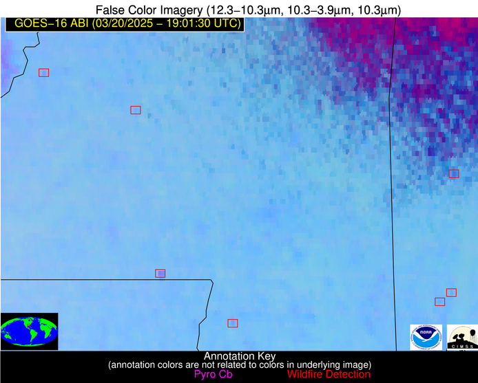
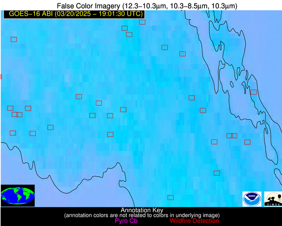
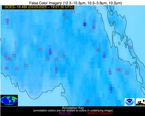
Jan 2026: Due to an ongoing data center cooling system construction project, NGFS data outages may occur with little or no notice. Bitterly cold air in Madison Jan 22-24 increases risk of outages.
Wildfire Alert Report
| Date: | 2025-03-20 |
|---|---|
| Time: | 19:01:17 |
| Production Date and Time: | 2025-03-20 19:06:12 UTC |
| Primary Instrument: | GOES-16 ABI |
| Wmo Spacecraft Id: | 152 |
| Location/orbit: | GEO |
| L1 File: | OR_ABI-L1b-RadC-M6C14_G16_s20250791901171_e20250791903544_c20250791904039.nc |
| L1 File(s) - Temporal | OR_ABI-L1b-RadC-M6C14_G16_s20250791856171_e20250791858544_c20250791859009.nc |
| Number Of Thermal Anomaly Alerts: | 9 |
Possible Wildfire
| Basic Information | |
|---|---|
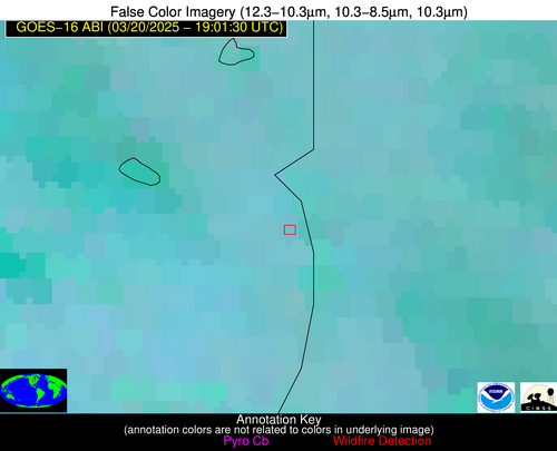
| State/Province(s) | MN |
| Country/Countries | United States |
| County/Locality(s) | Washington County, MN |
| NWS WFO | Twin Cities/Chanhassen MN |
| Identification Method | Enhanced Contextual (Clear) |
| Mean Object Date/Time | 2025-03-20 19:01:21UTC |
| Radiative Center (Lat, Lon): | 44.996113°, -92.797501° |
| Nearby Counties (meeting alert criteria): |
|
| Total Radiative Power Anomaly | n/a |
| Total Radiative Power | 8.36 MW |
| Map: | |
| Additional Information | |
| Alert Status | New Feature |
| Type of Event | Nominal Risk |
| Event Priority Ranking | 4 |
| Maximum Observed BT (3.9 um) | 293.69 K |
| Observed - Background BT (3.9 um) | 3.51 K |
| BT Anomaly (3.9 um) | 2.41 K |
| Maximum Observed - Clear RTM BT (3.9 um) | 16.17 K |
| Maximum Observed BTD (3.9-10/11/12 um) | 14.51 K |
| Observed - Background BTD (3.9-10/11/12 um) | 4.72 K |
| BTD Anomaly (3.9-10/11/12 um) | 6.76 K |
| Similar Pixel Count | 12 |
| BT Time Tendency (3.9 um) | 2.60 K |
| Image Interval | 5.00 minutes |
| Fraction of Surrounding LWIR Pixels that are Colder | 0.78 |
| Fraction of Surrounding Red Channel Pixels that are Brighter | 0.99 |
| Maximum Radiative Power | 8.36 MW |
| Maximum Radiative Power Uncertainty | 0.00 MW |
| Total Radiative Power Uncertainty | 0.00 MW |
| Mean Viewing Angle | 54.90° |
| Mean Solar Zenith Angle | 46.60° |
| Mean Glint Angle | 94.00° |
| Water Fraction | 0.00 |
| Total Pixel Area | 7.00 km2 |
| Latest Satellite Imagery: | |
| View all event imagery » | |
Possible Wildfire
| Basic Information | |
|---|---|
| State/Province(s) | KS |
| Country/Countries | United States |
| County/Locality(s) | Anderson County, KS |
| NWS WFO | Topeka KS |
| Identification Method | Enhanced Contextual (Clear) |
| Mean Object Date/Time | 2025-03-20 19:01:50UTC |
| Radiative Center (Lat, Lon): | 38.354168°, -95.181389° |
| Nearby Counties (meeting alert criteria): |
|
| Total Radiative Power Anomaly | n/a |
| Total Radiative Power | 14.36 MW |
| Map: | |
| Additional Information | |
| Alert Status | New Feature |
| Type of Event | Nominal Risk |
| Event Priority Ranking | 4 |
| Maximum Observed BT (3.9 um) | 304.06 K |
| Observed - Background BT (3.9 um) | 5.48 K |
| BT Anomaly (3.9 um) | 4.13 K |
| Maximum Observed - Clear RTM BT (3.9 um) | 21.24 K |
| Maximum Observed BTD (3.9-10/11/12 um) | 13.24 K |
| Observed - Background BTD (3.9-10/11/12 um) | 4.80 K |
| BTD Anomaly (3.9-10/11/12 um) | 7.30 K |
| Similar Pixel Count | 10 |
| BT Time Tendency (3.9 um) | 4.40 K |
| Image Interval | 5.00 minutes |
| Fraction of Surrounding LWIR Pixels that are Colder | 0.80 |
| Fraction of Surrounding Red Channel Pixels that are Brighter | 1.00 |
| Maximum Radiative Power | 14.36 MW |
| Maximum Radiative Power Uncertainty | 0.00 MW |
| Total Radiative Power Uncertainty | 0.00 MW |
| Mean Viewing Angle | 49.20° |
| Mean Solar Zenith Angle | 39.70° |
| Mean Glint Angle | 81.50° |
| Water Fraction | 0.00 |
| Total Pixel Area | 6.10 km2 |
| Latest Satellite Imagery: | |
| View all event imagery » | |
Possible Wildfire
| Basic Information | |
|---|---|
| State/Province(s) | AR |
| Country/Countries | United States |
| County/Locality(s) | Clay County, AR |
| NWS WFO | Memphis TN |
| Identification Method | Enhanced Contextual (Cloud) |
| Mean Object Date/Time | 2025-03-20 19:01:51UTC |
| Radiative Center (Lat, Lon): | 36.381111°, -90.446388° |
| Nearby Counties (meeting alert criteria): |
|
| Total Radiative Power Anomaly | n/a |
| Total Radiative Power | 50.04 MW |
| Map: | |
| Additional Information | |
| Alert Status | New Feature |
| Type of Event | Nominal Risk |
| Event Priority Ranking | 4 |
| Maximum Observed BT (3.9 um) | 315.76 K |
| Observed - Background BT (3.9 um) | 14.50 K |
| BT Anomaly (3.9 um) | 4.34 K |
| Maximum Observed - Clear RTM BT (3.9 um) | 33.15 K |
| Maximum Observed BTD (3.9-10/11/12 um) | 26.07 K |
| Observed - Background BTD (3.9-10/11/12 um) | 13.66 K |
| BTD Anomaly (3.9-10/11/12 um) | 4.96 K |
| Similar Pixel Count | 0 |
| BT Time Tendency (3.9 um) | 7.00 K |
| Image Interval | 5.00 minutes |
| Fraction of Surrounding LWIR Pixels that are Colder | 0.83 |
| Fraction of Surrounding Red Channel Pixels that are Brighter | 0.53 |
| Maximum Radiative Power | 50.04 MW |
| Maximum Radiative Power Uncertainty | 0.00 MW |
| Total Radiative Power Uncertainty | 0.00 MW |
| Mean Viewing Angle | 45.30° |
| Mean Solar Zenith Angle | 38.90° |
| Mean Glint Angle | 76.50° |
| Water Fraction | 0.00 |
| Total Pixel Area | 5.70 km2 |
| Latest Satellite Imagery: | |
| View all event imagery » | |
Possible Wildfire
| Basic Information | |
|---|---|
| State/Province(s) | MS |
| Country/Countries | United States |
| County/Locality(s) | Claiborne County, MS |
| NWS WFO | Jackson MS |
| Identification Method | Enhanced Contextual (Clear) |
| Mean Object Date/Time | 2025-03-20 19:02:21UTC |
| Radiative Center (Lat, Lon): | 32.007221°, -90.951385° |
| Nearby Counties (meeting alert criteria): |
|
| Total Radiative Power Anomaly | n/a |
| Total Radiative Power | 10.05 MW |
| Map: | |
| Additional Information | |
| Alert Status | New Feature |
| Type of Event | Nominal Risk |
| Event Priority Ranking | 4 |
| Maximum Observed BT (3.9 um) | 300.75 K |
| Observed - Background BT (3.9 um) | 4.91 K |
| BT Anomaly (3.9 um) | 5.00 K |
| Maximum Observed - Clear RTM BT (3.9 um) | 16.72 K |
| Maximum Observed BTD (3.9-10/11/12 um) | 10.29 K |
| Observed - Background BTD (3.9-10/11/12 um) | 3.99 K |
| BTD Anomaly (3.9-10/11/12 um) | 9.42 K |
| Similar Pixel Count | 5 |
| BT Time Tendency (3.9 um) | 3.50 K |
| Image Interval | 5.00 minutes |
| Fraction of Surrounding LWIR Pixels that are Colder | 0.88 |
| Fraction of Surrounding Red Channel Pixels that are Brighter | 1.00 |
| Maximum Radiative Power | 10.05 MW |
| Maximum Radiative Power Uncertainty | 0.00 MW |
| Total Radiative Power Uncertainty | 0.00 MW |
| Mean Viewing Angle | 41.10° |
| Mean Solar Zenith Angle | 34.70° |
| Mean Glint Angle | 67.70° |
| Water Fraction | 0.00 |
| Total Pixel Area | 5.30 km2 |
| Latest Satellite Imagery: | |
| View all event imagery » | |
Possible Wildfire
| Basic Information | |
|---|---|
| State/Province(s) | MS |
| Country/Countries | United States |
| County/Locality(s) | Copiah County, MS |
| NWS WFO | Jackson MS |
| Identification Method | Enhanced Contextual (Clear) |
| Mean Object Date/Time | 2025-03-20 19:02:21UTC |
| Radiative Center (Lat, Lon): | 31.825277°, -90.290558° |
| Nearby Counties (meeting alert criteria): |
|
| Total Radiative Power Anomaly | n/a |
| Total Radiative Power | 4.62 MW |
| Map: | |
| Additional Information | |
| Alert Status | New Feature |
| Type of Event | Nominal Risk |
| Event Priority Ranking | 4 |
| Maximum Observed BT (3.9 um) | 297.26 K |
| Observed - Background BT (3.9 um) | 2.90 K |
| BT Anomaly (3.9 um) | 2.80 K |
| Maximum Observed - Clear RTM BT (3.9 um) | 14.25 K |
| Maximum Observed BTD (3.9-10/11/12 um) | 8.22 K |
| Observed - Background BTD (3.9-10/11/12 um) | 2.20 K |
| BTD Anomaly (3.9-10/11/12 um) | 4.27 K |
| Similar Pixel Count | 22 |
| BT Time Tendency (3.9 um) | 1.10 K |
| Image Interval | 5.00 minutes |
| Fraction of Surrounding LWIR Pixels that are Colder | 0.83 |
| Fraction of Surrounding Red Channel Pixels that are Brighter | 1.00 |
| Maximum Radiative Power | 4.62 MW |
| Maximum Radiative Power Uncertainty | 0.00 MW |
| Total Radiative Power Uncertainty | 0.00 MW |
| Mean Viewing Angle | 40.60° |
| Mean Solar Zenith Angle | 34.70° |
| Mean Glint Angle | 67.30° |
| Water Fraction | 0.00 |
| Total Pixel Area | 5.30 km2 |
| Latest Satellite Imagery: | |
| View all event imagery » | |
Possible Wildfire
| Basic Information | |
|---|---|
| State/Province(s) | AL |
| Country/Countries | United States |
| County/Locality(s) | Mobile County, AL |
| NWS WFO | Mobile AL |
| Identification Method | Enhanced Contextual (Clear) |
| Mean Object Date/Time | 2025-03-20 19:02:21UTC |
| Radiative Center (Lat, Lon): | 30.892500°, -88.100830° |
| Nearby Counties (meeting alert criteria): |
|
| Total Radiative Power Anomaly | n/a |
| Total Radiative Power | 3.81 MW |
| Map: | |
| Additional Information | |
| Alert Status | New Feature |
| Type of Event | Nominal Risk |
| Event Priority Ranking | 4 |
| Maximum Observed BT (3.9 um) | 299.32 K |
| Observed - Background BT (3.9 um) | 3.75 K |
| BT Anomaly (3.9 um) | 2.32 K |
| Maximum Observed - Clear RTM BT (3.9 um) | 13.38 K |
| Maximum Observed BTD (3.9-10/11/12 um) | 8.53 K |
| Observed - Background BTD (3.9-10/11/12 um) | 2.43 K |
| BTD Anomaly (3.9-10/11/12 um) | 3.23 K |
| Similar Pixel Count | 24 |
| BT Time Tendency (3.9 um) | 0.40 K |
| Image Interval | 5.00 minutes |
| Fraction of Surrounding LWIR Pixels that are Colder | 0.89 |
| Fraction of Surrounding Red Channel Pixels that are Brighter | 1.00 |
| Maximum Radiative Power | 3.81 MW |
| Maximum Radiative Power Uncertainty | 0.00 MW |
| Total Radiative Power Uncertainty | 0.00 MW |
| Mean Viewing Angle | 38.70° |
| Mean Solar Zenith Angle | 34.70° |
| Mean Glint Angle | 65.30° |
| Water Fraction | 0.00 |
| Total Pixel Area | 5.10 km2 |
| Latest Satellite Imagery: | |
| View all event imagery » | |
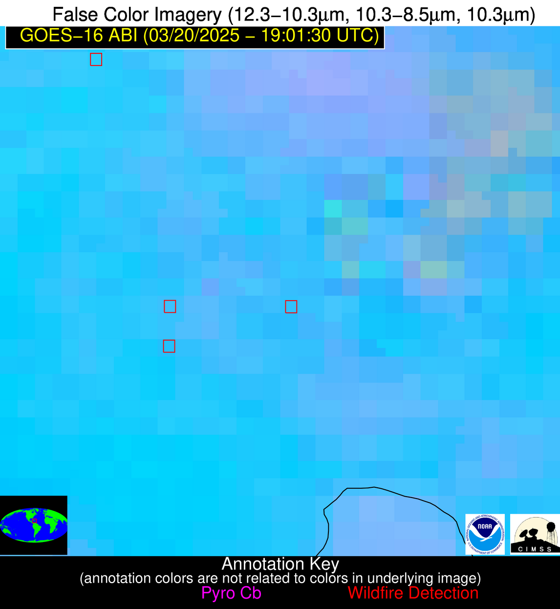
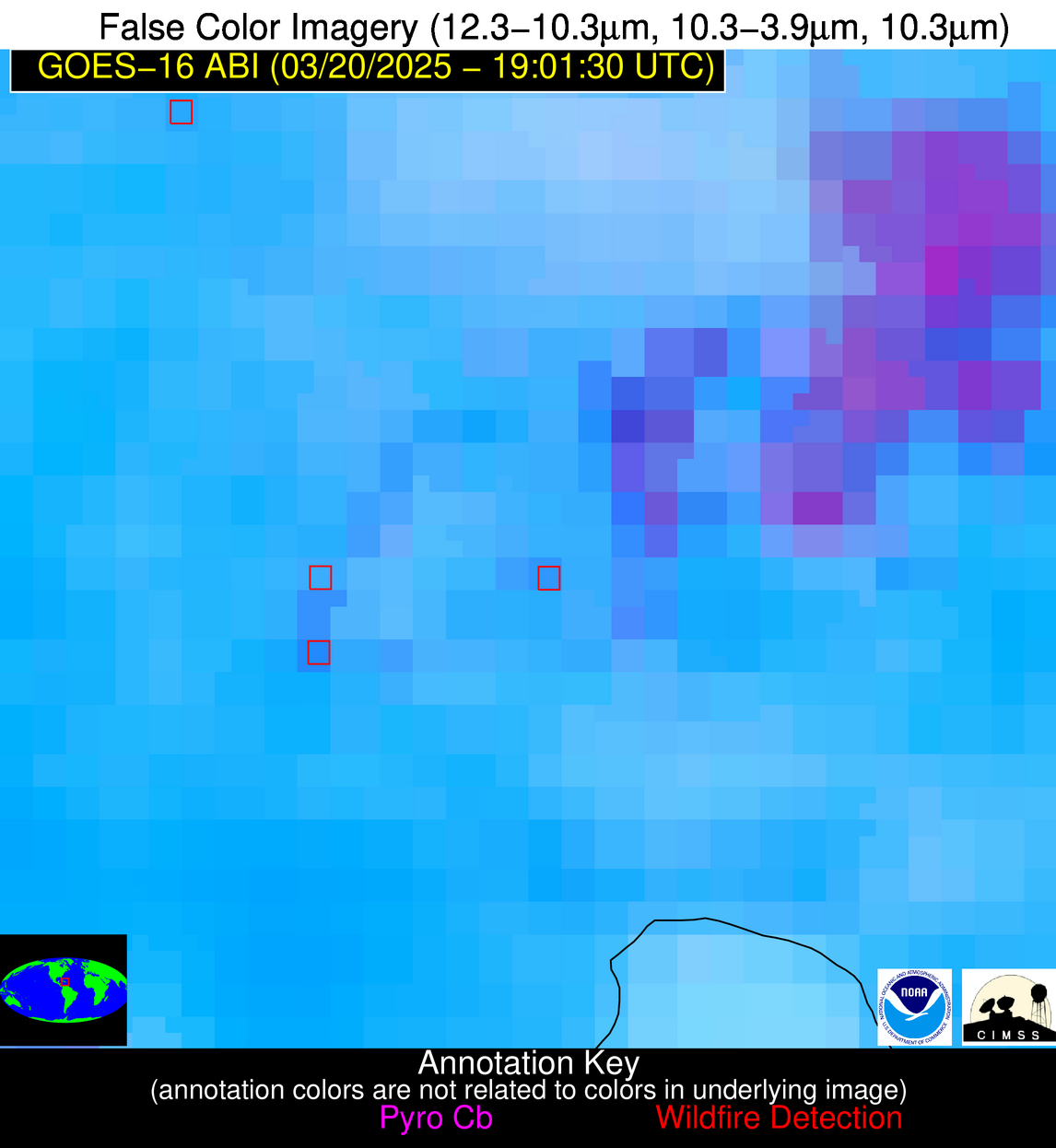
Possible Wildfire
| Basic Information | |
|---|---|
| State/Province(s) | Unknown |
| Country/Countries | Cuba |
| County/Locality(s) | Unknown, Unknown |
| NWS WFO | N/A |
| Identification Method | Enhanced Contextual (Clear) |
| Mean Object Date/Time | 2025-03-20 19:03:22UTC |
| Radiative Center (Lat, Lon): | 21.870001°, -77.549721° |
| Nearby Counties (meeting alert criteria): |
|
| Total Radiative Power Anomaly | n/a |
| Total Radiative Power | 16.94 MW |
| Map: | |
| Additional Information | |
| Alert Status | New Feature |
| Type of Event | Nominal Risk |
| Event Priority Ranking | 4 |
| Maximum Observed BT (3.9 um) | 312.65 K |
| Observed - Background BT (3.9 um) | 6.15 K |
| BT Anomaly (3.9 um) | 4.62 K |
| Maximum Observed - Clear RTM BT (3.9 um) | 7.99 K |
| Maximum Observed BTD (3.9-10/11/12 um) | 11.46 K |
| Observed - Background BTD (3.9-10/11/12 um) | 4.54 K |
| BTD Anomaly (3.9-10/11/12 um) | 4.90 K |
| Similar Pixel Count | 3 |
| BT Time Tendency (3.9 um) | 1.20 K |
| Image Interval | 5.00 minutes |
| Fraction of Surrounding LWIR Pixels that are Colder | 1.00 |
| Fraction of Surrounding Red Channel Pixels that are Brighter | 0.64 |
| Maximum Radiative Power | 16.94 MW |
| Maximum Radiative Power Uncertainty | 0.00 MW |
| Total Radiative Power Uncertainty | 0.00 MW |
| Mean Viewing Angle | 25.80° |
| Mean Solar Zenith Angle | 33.80° |
| Mean Glint Angle | 51.90° |
| Water Fraction | 0.00 |
| Total Pixel Area | 4.40 km2 |
| Latest Satellite Imagery: | |
| View all event imagery » | |
Possible Wildfire
| Basic Information | |
|---|---|
| State/Province(s) | Unknown |
| Country/Countries | Cuba |
| County/Locality(s) | Unknown, Unknown |
| NWS WFO | N/A |
| Identification Method | Enhanced Contextual (Clear) |
| Mean Object Date/Time | 2025-03-20 19:03:22UTC |
| Radiative Center (Lat, Lon): | 21.735556°, -79.518333° |
| Nearby Counties (meeting alert criteria): |
|
| Total Radiative Power Anomaly | n/a |
| Total Radiative Power | 13.09 MW |
| Map: | |
| Additional Information | |
| Alert Status | New Feature |
| Type of Event | Nominal Risk |
| Event Priority Ranking | 4 |
| Maximum Observed BT (3.9 um) | 313.64 K |
| Observed - Background BT (3.9 um) | 3.09 K |
| BT Anomaly (3.9 um) | 1.51 K |
| Maximum Observed - Clear RTM BT (3.9 um) | 4.18 K |
| Maximum Observed BTD (3.9-10/11/12 um) | 11.44 K |
| Observed - Background BTD (3.9-10/11/12 um) | 3.30 K |
| BTD Anomaly (3.9-10/11/12 um) | 2.67 K |
| Similar Pixel Count | 22 |
| BT Time Tendency (3.9 um) | 1.80 K |
| Image Interval | 5.00 minutes |
| Fraction of Surrounding LWIR Pixels that are Colder | 0.54 |
| Fraction of Surrounding Red Channel Pixels that are Brighter | 0.90 |
| Maximum Radiative Power | 13.09 MW |
| Maximum Radiative Power Uncertainty | 0.00 MW |
| Total Radiative Power Uncertainty | 0.00 MW |
| Mean Viewing Angle | 26.00° |
| Mean Solar Zenith Angle | 32.30° |
| Mean Glint Angle | 49.90° |
| Water Fraction | 0.00 |
| Total Pixel Area | 4.50 km2 |
| Latest Satellite Imagery: | |
| View all event imagery » | |
Possible Wildfire
| Basic Information | |
|---|---|
| State/Province(s) | Unknown |
| Country/Countries | Dominican Republic |
| County/Locality(s) | Unknown, Unknown |
| NWS WFO | N/A |
| Identification Method | Enhanced Contextual (Clear) |
| Mean Object Date/Time | 2025-03-20 19:03:53UTC |
| Radiative Center (Lat, Lon): | 18.607779°, -70.743057° |
| Nearby Counties (meeting alert criteria): |
|
| Total Radiative Power Anomaly | n/a |
| Total Radiative Power | 13.45 MW |
| Map: | |
| Additional Information | |
| Alert Status | New Feature |
| Type of Event | Nominal Risk |
| Event Priority Ranking | 4 |
| Maximum Observed BT (3.9 um) | 311.68 K |
| Observed - Background BT (3.9 um) | 4.15 K |
| BT Anomaly (3.9 um) | 2.26 K |
| Maximum Observed - Clear RTM BT (3.9 um) | 10.56 K |
| Maximum Observed BTD (3.9-10/11/12 um) | 13.00 K |
| Observed - Background BTD (3.9-10/11/12 um) | 4.61 K |
| BTD Anomaly (3.9-10/11/12 um) | 2.82 K |
| Similar Pixel Count | 20 |
| BT Time Tendency (3.9 um) | 0.30 K |
| Image Interval | 5.00 minutes |
| Fraction of Surrounding LWIR Pixels that are Colder | 0.38 |
| Fraction of Surrounding Red Channel Pixels that are Brighter | 1.00 |
| Maximum Radiative Power | 13.45 MW |
| Maximum Radiative Power Uncertainty | 0.00 MW |
| Total Radiative Power Uncertainty | 0.00 MW |
| Mean Viewing Angle | 22.60° |
| Mean Solar Zenith Angle | 37.40° |
| Mean Glint Angle | 54.70° |
| Water Fraction | 0.00 |
| Total Pixel Area | 4.30 km2 |
| Latest Satellite Imagery: | |
| View all event imagery » | |
