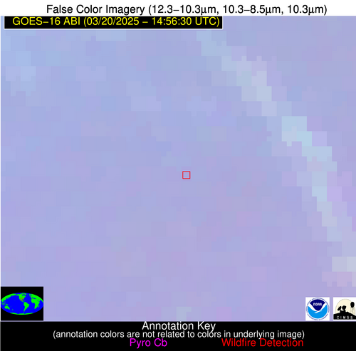
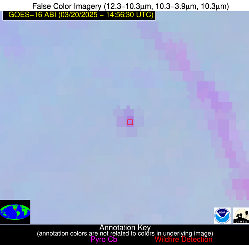
Jan 2026: Due to an ongoing data center cooling system construction project, NGFS data outages may occur with little or no notice.
Wildfire Alert Report
| Date: | 2025-03-20 |
|---|---|
| Time: | 14:56:17 |
| Production Date and Time: | 2025-03-20 15:01:00 UTC |
| Primary Instrument: | GOES-16 ABI |
| Wmo Spacecraft Id: | 152 |
| Location/orbit: | GEO |
| L1 File: | OR_ABI-L1b-RadC-M6C14_G16_s20250791456170_e20250791458544_c20250791459043.nc |
| L1 File(s) - Temporal | OR_ABI-L1b-RadC-M6C14_G16_s20250791451170_e20250791453544_c20250791454039.nc |
| Number Of Thermal Anomaly Alerts: | 5 |
Possible Wildfire
| Basic Information | |
|---|---|
| State/Province(s) | KS |
| Country/Countries | United States |
| County/Locality(s) | Ellsworth County, KS |
| NWS WFO | Wichita KS |
| Identification Method | Enhanced Contextual (Clear) |
| Mean Object Date/Time | 2025-03-20 14:56:50UTC |
| Radiative Center (Lat, Lon): | 38.861946°, -98.413887° |
| Nearby Counties (meeting alert criteria): |
|
| Total Radiative Power Anomaly | n/a |
| Total Radiative Power | 8.29 MW |
| Map: | |
| Additional Information | |
| Alert Status | New Feature |
| Type of Event | Elevated SPC Risk |
| Event Priority Ranking | 3 |
| Maximum Observed BT (3.9 um) | 286.70 K |
| Observed - Background BT (3.9 um) | 4.65 K |
| BT Anomaly (3.9 um) | 4.34 K |
| Maximum Observed - Clear RTM BT (3.9 um) | 13.93 K |
| Maximum Observed BTD (3.9-10/11/12 um) | 10.00 K |
| Observed - Background BTD (3.9-10/11/12 um) | 4.64 K |
| BTD Anomaly (3.9-10/11/12 um) | 10.72 K |
| Similar Pixel Count | 2 |
| BT Time Tendency (3.9 um) | 2.10 K |
| Image Interval | 5.00 minutes |
| Fraction of Surrounding LWIR Pixels that are Colder | 0.44 |
| Fraction of Surrounding Red Channel Pixels that are Brighter | 1.00 |
| Maximum Radiative Power | 8.29 MW |
| Maximum Radiative Power Uncertainty | 0.00 MW |
| Total Radiative Power Uncertainty | 0.00 MW |
| Mean Viewing Angle | 51.20° |
| Mean Solar Zenith Angle | 64.80° |
| Mean Glint Angle | 109.10° |
| Water Fraction | 0.00 |
| Total Pixel Area | 6.40 km2 |
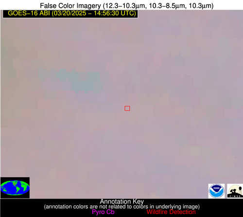
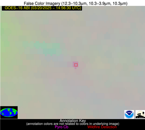
| Latest Satellite Imagery: | |
| View all event imagery » | |
Possible Wildfire
| Basic Information | |
|---|---|
| State/Province(s) | TX |
| Country/Countries | United States |
| County/Locality(s) | Taylor County, TX |
| NWS WFO | San Angelo TX |
| Identification Method | Enhanced Contextual (Clear) |
| Mean Object Date/Time | 2025-03-20 14:57:19UTC |
| Radiative Center (Lat, Lon): | 32.141945°, -99.986115° |
| Nearby Counties (meeting alert criteria): |
|
| Total Radiative Power Anomaly | n/a |
| Total Radiative Power | 22.37 MW |
| Map: | |
| Additional Information | |
| Alert Status | New Feature |
| Type of Event | Elevated SPC Risk |
| Event Priority Ranking | 3 |
| Maximum Observed BT (3.9 um) | 297.26 K |
| Observed - Background BT (3.9 um) | 6.34 K |
| BT Anomaly (3.9 um) | 3.88 K |
| Maximum Observed - Clear RTM BT (3.9 um) | 12.79 K |
| Maximum Observed BTD (3.9-10/11/12 um) | 12.08 K |
| Observed - Background BTD (3.9-10/11/12 um) | 6.13 K |
| BTD Anomaly (3.9-10/11/12 um) | 8.34 K |
| Similar Pixel Count | 2 |
| BT Time Tendency (3.9 um) | 6.20 K |
| Image Interval | 5.00 minutes |
| Fraction of Surrounding LWIR Pixels that are Colder | 0.54 |
| Fraction of Surrounding Red Channel Pixels that are Brighter | 0.99 |
| Maximum Radiative Power | 22.37 MW |
| Maximum Radiative Power Uncertainty | 0.00 MW |
| Total Radiative Power Uncertainty | 0.00 MW |
| Mean Viewing Angle | 46.10° |
| Mean Solar Zenith Angle | 63.60° |
| Mean Glint Angle | 104.40° |
| Water Fraction | 0.00 |
| Total Pixel Area | 11.50 km2 |
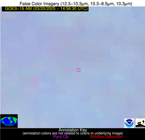
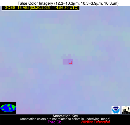
| Latest Satellite Imagery: | |
| View all event imagery » | |
Possible Wildfire
| Basic Information | |
|---|---|
| State/Province(s) | TX |
| Country/Countries | United States |
| County/Locality(s) | Milam County, TX |
| NWS WFO | Fort Worth TX |
| Identification Method | Enhanced Contextual (Clear) |
| Mean Object Date/Time | 2025-03-20 14:57:20UTC |
| Radiative Center (Lat, Lon): | 30.742222°, -96.791664° |
| Nearby Counties (meeting alert criteria): |
|
| Total Radiative Power Anomaly | n/a |
| Total Radiative Power | 19.31 MW |
| Map: | |
| Additional Information | |
| Alert Status | New Feature |
| Type of Event | Elevated SPC Risk |
| Event Priority Ranking | 3 |
| Maximum Observed BT (3.9 um) | 298.71 K |
| Observed - Background BT (3.9 um) | 8.13 K |
| BT Anomaly (3.9 um) | 7.77 K |
| Maximum Observed - Clear RTM BT (3.9 um) | 16.44 K |
| Maximum Observed BTD (3.9-10/11/12 um) | 12.97 K |
| Observed - Background BTD (3.9-10/11/12 um) | 8.22 K |
| BTD Anomaly (3.9-10/11/12 um) | 12.75 K |
| Similar Pixel Count | 2 |
| BT Time Tendency (3.9 um) | 7.00 K |
| Image Interval | 5.00 minutes |
| Fraction of Surrounding LWIR Pixels that are Colder | 0.47 |
| Fraction of Surrounding Red Channel Pixels that are Brighter | 0.97 |
| Maximum Radiative Power | 19.31 MW |
| Maximum Radiative Power Uncertainty | 0.00 MW |
| Total Radiative Power Uncertainty | 0.00 MW |
| Mean Viewing Angle | 42.90° |
| Mean Solar Zenith Angle | 60.60° |
| Mean Glint Angle | 98.20° |
| Water Fraction | 0.00 |
| Total Pixel Area | 5.50 km2 |
| Latest Satellite Imagery: | |
| View all event imagery » | |
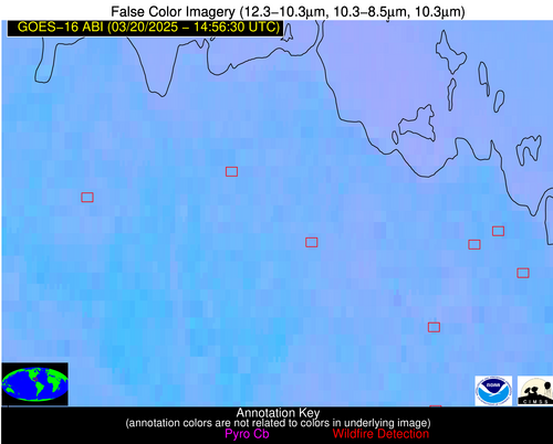
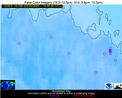
Possible Wildfire
| Basic Information | |
|---|---|
| State/Province(s) | Unknown |
| Country/Countries | Cuba |
| County/Locality(s) | Unknown, Unknown |
| NWS WFO | N/A |
| Identification Method | Enhanced Contextual (Clear) |
| Mean Object Date/Time | 2025-03-20 14:58:22UTC |
| Radiative Center (Lat, Lon): | 22.873333°, -81.380836° |
| Nearby Counties (meeting alert criteria): |
|
| Total Radiative Power Anomaly | n/a |
| Total Radiative Power | 10.42 MW |
| Map: | |
| Additional Information | |
| Alert Status | New Feature |
| Type of Event | Nominal Risk |
| Event Priority Ranking | 4 |
| Maximum Observed BT (3.9 um) | 306.02 K |
| Observed - Background BT (3.9 um) | 3.07 K |
| BT Anomaly (3.9 um) | 1.77 K |
| Maximum Observed - Clear RTM BT (3.9 um) | 9.28 K |
| Maximum Observed BTD (3.9-10/11/12 um) | 8.83 K |
| Observed - Background BTD (3.9-10/11/12 um) | 3.54 K |
| BTD Anomaly (3.9-10/11/12 um) | 4.62 K |
| Similar Pixel Count | 1 |
| BT Time Tendency (3.9 um) | 1.60 K |
| Image Interval | 5.00 minutes |
| Fraction of Surrounding LWIR Pixels that are Colder | 0.31 |
| Fraction of Surrounding Red Channel Pixels that are Brighter | 1.00 |
| Maximum Radiative Power | 10.42 MW |
| Maximum Radiative Power Uncertainty | 0.00 MW |
| Total Radiative Power Uncertainty | 0.00 MW |
| Mean Viewing Angle | 27.70° |
| Mean Solar Zenith Angle | 44.80° |
| Mean Glint Angle | 65.70° |
| Water Fraction | 0.00 |
| Total Pixel Area | 4.50 km2 |
| Latest Satellite Imagery: | |
| View all event imagery » | |
Possible Wildfire
| Basic Information | |
|---|---|
| State/Province(s) | Unknown |
| Country/Countries | Cuba |
| County/Locality(s) | Unknown, Unknown |
| NWS WFO | N/A |
| Identification Method | Enhanced Contextual (Clear) |
| Mean Object Date/Time | 2025-03-20 14:58:22UTC |
| Radiative Center (Lat, Lon): | 22.803333°, -80.097778° |
| Nearby Counties (meeting alert criteria): |
|
| Total Radiative Power Anomaly | n/a |
| Total Radiative Power | 9.70 MW |
| Map: | |
| Additional Information | |
| Alert Status | New Feature |
| Type of Event | Nominal Risk |
| Event Priority Ranking | 4 |
| Maximum Observed BT (3.9 um) | 309.73 K |
| Observed - Background BT (3.9 um) | 4.47 K |
| BT Anomaly (3.9 um) | 1.63 K |
| Maximum Observed - Clear RTM BT (3.9 um) | 7.89 K |
| Maximum Observed BTD (3.9-10/11/12 um) | 9.02 K |
| Observed - Background BTD (3.9-10/11/12 um) | 3.28 K |
| BTD Anomaly (3.9-10/11/12 um) | 1.27 K |
| Similar Pixel Count | 6 |
| BT Time Tendency (3.9 um) | 1.90 K |
| Image Interval | 5.00 minutes |
| Fraction of Surrounding LWIR Pixels that are Colder | 0.96 |
| Fraction of Surrounding Red Channel Pixels that are Brighter | 0.92 |
| Maximum Radiative Power | 9.70 MW |
| Maximum Radiative Power Uncertainty | 0.00 MW |
| Total Radiative Power Uncertainty | 0.00 MW |
| Mean Viewing Angle | 27.30° |
| Mean Solar Zenith Angle | 43.70° |
| Mean Glint Angle | 63.80° |
| Water Fraction | 0.00 |
| Total Pixel Area | 4.50 km2 |
| Latest Satellite Imagery: | |
| View all event imagery » | |
