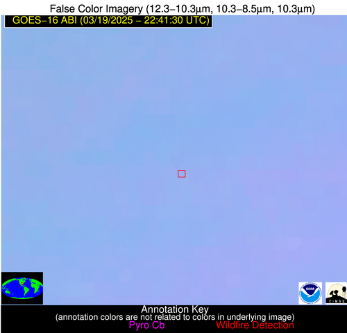
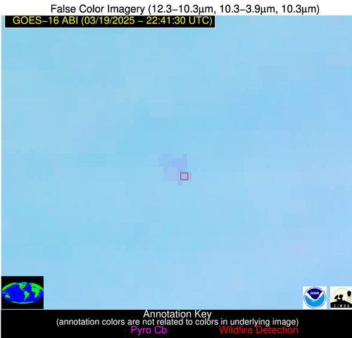
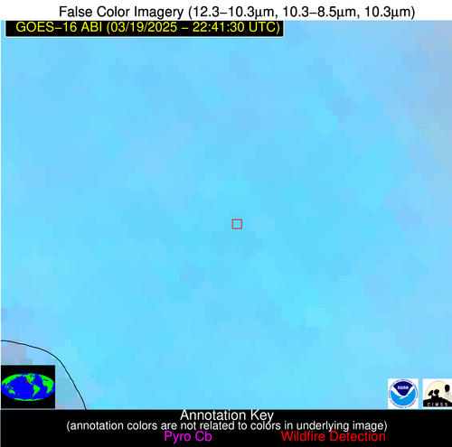
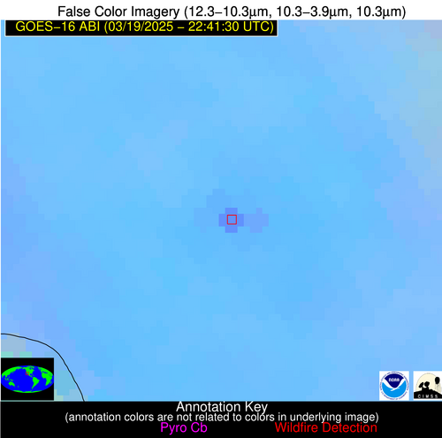
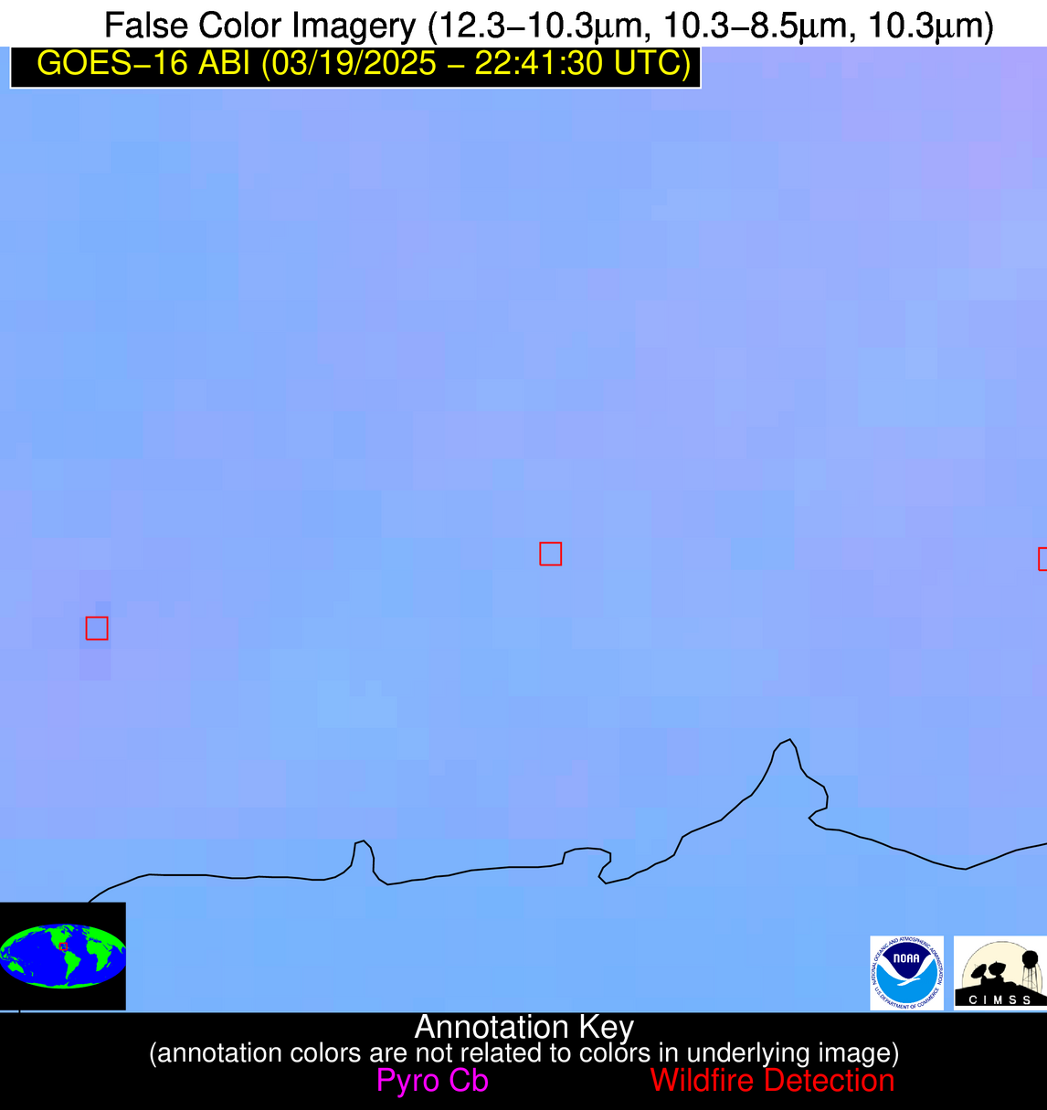
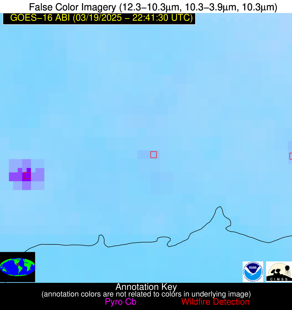
Wildfire Alert Report
| Date: | 2025-03-19 |
|---|---|
| Time: | 22:41:17 |
| Production Date and Time: | 2025-03-19 22:48:49 UTC |
| Primary Instrument: | GOES-16 ABI |
| Wmo Spacecraft Id: | 152 |
| Location/orbit: | GEO |
| L1 File: | OR_ABI-L1b-RadC-M6C14_G16_s20250782241170_e20250782243543_c20250782244033.nc |
| L1 File(s) - Temporal | OR_ABI-L1b-RadC-M6C14_G16_s20250782236170_e20250782238543_c20250782239001.nc |
| Number Of Thermal Anomaly Alerts: | 3 |
Possible Wildfire
| Basic Information | |
|---|---|
| State/Province(s) | AR |
| Country/Countries | United States |
| County/Locality(s) | Cleveland County, AR |
| NWS WFO | Little Rock AR |
| Identification Method | Enhanced Contextual (Clear) |
| Mean Object Date/Time | 2025-03-19 22:42:20UTC |
| Radiative Center (Lat, Lon): | 33.735279°, -92.258057° |
| Nearby Counties (meeting alert criteria): |
|
| Total Radiative Power Anomaly | n/a |
| Total Radiative Power | 12.30 MW |
| Map: | |
| Additional Information | |
| Alert Status | New Feature |
| Type of Event | Elevated SPC Risk and Red Flag Warning |
| Event Priority Ranking | 1 |
| Maximum Observed BT (3.9 um) | 294.58 K |
| Observed - Background BT (3.9 um) | 2.77 K |
| BT Anomaly (3.9 um) | 6.51 K |
| Maximum Observed - Clear RTM BT (3.9 um) | 8.44 K |
| Maximum Observed BTD (3.9-10/11/12 um) | 5.50 K |
| Observed - Background BTD (3.9-10/11/12 um) | 2.82 K |
| BTD Anomaly (3.9-10/11/12 um) | 7.57 K |
| Similar Pixel Count | 4 |
| BT Time Tendency (3.9 um) | 1.40 K |
| Image Interval | 5.00 minutes |
| Fraction of Surrounding LWIR Pixels that are Colder | 0.56 |
| Fraction of Surrounding Red Channel Pixels that are Brighter | 1.00 |
| Maximum Radiative Power | 6.31 MW |
| Maximum Radiative Power Uncertainty | 0.00 MW |
| Total Radiative Power Uncertainty | 0.00 MW |
| Mean Viewing Angle | 43.40° |
| Mean Solar Zenith Angle | 70.90° |
| Mean Glint Angle | 66.80° |
| Water Fraction | 0.00 |
| Total Pixel Area | 11.00 km2 |
| Latest Satellite Imagery: | |
| View all event imagery » | |
Possible Wildfire
| Basic Information | |
|---|---|
| State/Province(s) | Baja California |
| Country/Countries | Mexico |
| County/Locality(s) | Ensenada, Baja California |
| NWS WFO | N/A |
| Identification Method | Enhanced Contextual (Clear) |
| Mean Object Date/Time | 2025-03-19 22:42:48UTC |
| Radiative Center (Lat, Lon): | 30.550833°, -115.619164° |
| Nearby Counties (meeting alert criteria): |
|
| Total Radiative Power Anomaly | n/a |
| Total Radiative Power | 32.75 MW |
| Map: | |
| Additional Information | |
| Alert Status | New Feature |
| Type of Event | Nominal Risk |
| Event Priority Ranking | 4 |
| Maximum Observed BT (3.9 um) | 309.20 K |
| Observed - Background BT (3.9 um) | 7.40 K |
| BT Anomaly (3.9 um) | 6.17 K |
| Maximum Observed - Clear RTM BT (3.9 um) | 14.48 K |
| Maximum Observed BTD (3.9-10/11/12 um) | 12.44 K |
| Observed - Background BTD (3.9-10/11/12 um) | 6.90 K |
| BTD Anomaly (3.9-10/11/12 um) | 17.82 K |
| Similar Pixel Count | 2 |
| BT Time Tendency (3.9 um) | 3.60 K |
| Image Interval | 5.00 minutes |
| Fraction of Surrounding LWIR Pixels that are Colder | 0.75 |
| Fraction of Surrounding Red Channel Pixels that are Brighter | 1.00 |
| Maximum Radiative Power | 32.75 MW |
| Maximum Radiative Power Uncertainty | 0.00 MW |
| Total Radiative Power Uncertainty | 0.00 MW |
| Mean Viewing Angle | 56.40° |
| Mean Solar Zenith Angle | 51.40° |
| Mean Glint Angle | 48.50° |
| Water Fraction | 0.00 |
| Total Pixel Area | 7.20 km2 |
| Latest Satellite Imagery: | |
| View all event imagery » | |
Possible Wildfire
| Basic Information | |
|---|---|
| State/Province(s) | Unknown |
| Country/Countries | Cuba |
| County/Locality(s) | Unknown, Unknown |
| NWS WFO | N/A |
| Identification Method | Enhanced Contextual (Clear) |
| Mean Object Date/Time | 2025-03-19 22:43:21UTC |
| Radiative Center (Lat, Lon): | 22.340000°, -83.694443° |
| Nearby Counties (meeting alert criteria): |
|
| Total Radiative Power Anomaly | n/a |
| Total Radiative Power | 5.06 MW |
| Map: | |
| Additional Information | |
| Alert Status | New Feature |
| Type of Event | Nominal Risk |
| Event Priority Ranking | 4 |
| Maximum Observed BT (3.9 um) | 299.53 K |
| Observed - Background BT (3.9 um) | 2.47 K |
| BT Anomaly (3.9 um) | 3.85 K |
| Maximum Observed - Clear RTM BT (3.9 um) | 6.82 K |
| Maximum Observed BTD (3.9-10/11/12 um) | 4.57 K |
| Observed - Background BTD (3.9-10/11/12 um) | 2.39 K |
| BTD Anomaly (3.9-10/11/12 um) | 7.51 K |
| Similar Pixel Count | 4 |
| BT Time Tendency (3.9 um) | 0.80 K |
| Image Interval | 5.00 minutes |
| Fraction of Surrounding LWIR Pixels that are Colder | 0.55 |
| Fraction of Surrounding Red Channel Pixels that are Brighter | 1.00 |
| Maximum Radiative Power | 5.06 MW |
| Maximum Radiative Power Uncertainty | 0.00 MW |
| Total Radiative Power Uncertainty | 0.00 MW |
| Mean Viewing Angle | 27.90° |
| Mean Solar Zenith Angle | 76.20° |
| Mean Glint Angle | 71.20° |
| Water Fraction | 0.00 |
| Total Pixel Area | 4.50 km2 |
| Latest Satellite Imagery: | |
| View all event imagery » | |
