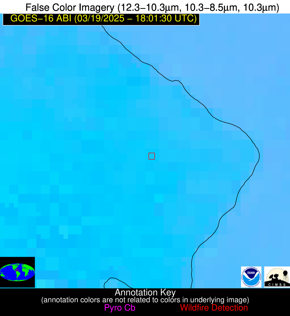
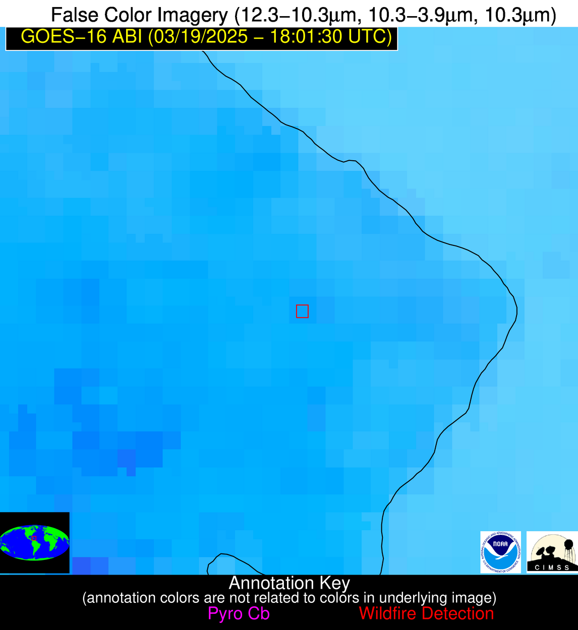
Wildfire Alert Report
| Date: | 2025-03-19 |
|---|---|
| Time: | 18:01:17 |
| Production Date and Time: | 2025-03-19 18:07:28 UTC |
| Primary Instrument: | GOES-16 ABI |
| Wmo Spacecraft Id: | 152 |
| Location/orbit: | GEO |
| L1 File: | OR_ABI-L1b-RadC-M6C14_G16_s20250781801170_e20250781803543_c20250781804019.nc |
| L1 File(s) - Temporal | OR_ABI-L1b-RadC-M6C14_G16_s20250781756170_e20250781758543_c20250781759036.nc |
| Number Of Thermal Anomaly Alerts: | 16 |
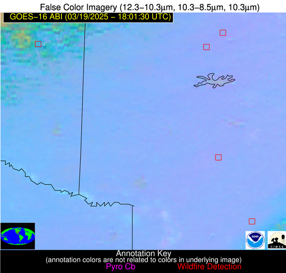
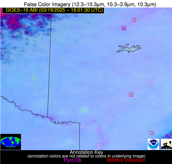
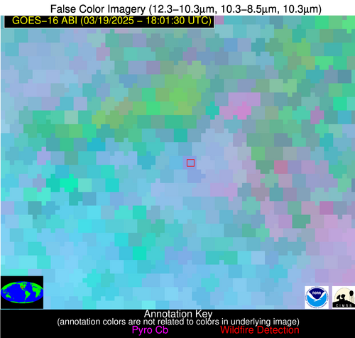
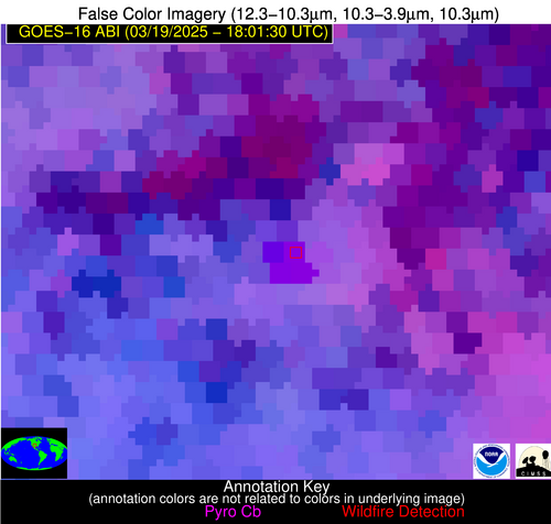
Possible Wildfire
| Basic Information | |
|---|---|
| State/Province(s) | OK |
| Country/Countries | United States |
| County/Locality(s) | Le Flore County, OK |
| NWS WFO | Tulsa OK |
| Identification Method | Enhanced Contextual (Cloud) |
| Mean Object Date/Time | 2025-03-19 18:02:20UTC |
| Radiative Center (Lat, Lon): | 34.919998°, -94.841667° |
| Nearby Counties (meeting alert criteria): |
|
| Total Radiative Power Anomaly | n/a |
| Total Radiative Power | 36.32 MW |
| Map: | |
| Additional Information | |
| Alert Status | New Feature |
| Type of Event | Elevated SPC Risk |
| Event Priority Ranking | 3 |
| Maximum Observed BT (3.9 um) | 308.12 K |
| Observed - Background BT (3.9 um) | 10.48 K |
| BT Anomaly (3.9 um) | 5.32 K |
| Maximum Observed - Clear RTM BT (3.9 um) | 20.10 K |
| Maximum Observed BTD (3.9-10/11/12 um) | 25.15 K |
| Observed - Background BTD (3.9-10/11/12 um) | 10.83 K |
| BTD Anomaly (3.9-10/11/12 um) | 4.00 K |
| Similar Pixel Count | 0 |
| BT Time Tendency (3.9 um) | 2.50 K |
| Image Interval | 5.00 minutes |
| Fraction of Surrounding LWIR Pixels that are Colder | 0.65 |
| Fraction of Surrounding Red Channel Pixels that are Brighter | 0.47 |
| Maximum Radiative Power | 36.32 MW |
| Maximum Radiative Power Uncertainty | 0.00 MW |
| Total Radiative Power Uncertainty | 0.00 MW |
| Mean Viewing Angle | 45.80° |
| Mean Solar Zenith Angle | 36.50° |
| Mean Glint Angle | 80.60° |
| Water Fraction | 0.00 |
| Total Pixel Area | 5.70 km2 |
| Latest Satellite Imagery: | |
| View all event imagery » | |
Possible Wildfire
| Basic Information | |
|---|---|
| State/Province(s) | TX |
| Country/Countries | United States |
| County/Locality(s) | Hale County, TX |
| NWS WFO | Lubbock TX |
| Identification Method | Enhanced Contextual (Cloud) |
| Mean Object Date/Time | 2025-03-19 18:02:19UTC |
| Radiative Center (Lat, Lon): | 34.235279°, -101.750832° |
| Nearby Counties (meeting alert criteria): |
|
| Total Radiative Power Anomaly | n/a |
| Total Radiative Power | 329.22 MW |
| Map: | |
| Additional Information | |
| Alert Status | New Feature |
| Type of Event | Elevated SPC Risk and Red Flag Warning |
| Event Priority Ranking | 1 |
| Maximum Observed BT (3.9 um) | 324.29 K |
| Observed - Background BT (3.9 um) | 20.44 K |
| BT Anomaly (3.9 um) | 15.23 K |
| Maximum Observed - Clear RTM BT (3.9 um) | 37.09 K |
| Maximum Observed BTD (3.9-10/11/12 um) | 38.45 K |
| Observed - Background BTD (3.9-10/11/12 um) | 19.60 K |
| BTD Anomaly (3.9-10/11/12 um) | 13.92 K |
| Similar Pixel Count | 0 |
| BT Time Tendency (3.9 um) | 20.30 K |
| Image Interval | 5.00 minutes |
| Fraction of Surrounding LWIR Pixels that are Colder | 0.95 |
| Fraction of Surrounding Red Channel Pixels that are Brighter | 1.00 |
| Maximum Radiative Power | 101.89 MW |
| Maximum Radiative Power Uncertainty | 0.00 MW |
| Total Radiative Power Uncertainty | 0.00 MW |
| Mean Viewing Angle | 49.00° |
| Mean Solar Zenith Angle | 37.40° |
| Mean Glint Angle | 85.00° |
| Water Fraction | 0.00 |
| Total Pixel Area | 24.40 km2 |
| Latest Satellite Imagery: | |
| View all event imagery » | |
Possible Wildfire
| Basic Information | |
|---|---|
| State/Province(s) | AR |
| Country/Countries | United States |
| County/Locality(s) | Ouachita County, AR |
| NWS WFO | Little Rock AR |
| Identification Method | Enhanced Contextual (Clear) |
| Mean Object Date/Time | 2025-03-19 18:02:20UTC |
| Radiative Center (Lat, Lon): | 33.421665°, -93.043335° |
| Nearby Counties (meeting alert criteria): |
|
| Total Radiative Power Anomaly | n/a |
| Total Radiative Power | 11.15 MW |
| Map: | |
| Additional Information | |
| Alert Status | New Feature |
| Type of Event | Elevated SPC Risk and Red Flag Warning |
| Event Priority Ranking | 1 |
| Maximum Observed BT (3.9 um) | 304.86 K |
| Observed - Background BT (3.9 um) | 3.62 K |
| BT Anomaly (3.9 um) | 6.85 K |
| Maximum Observed - Clear RTM BT (3.9 um) | 11.60 K |
| Maximum Observed BTD (3.9-10/11/12 um) | 9.27 K |
| Observed - Background BTD (3.9-10/11/12 um) | 3.10 K |
| BTD Anomaly (3.9-10/11/12 um) | 4.30 K |
| Similar Pixel Count | 15 |
| BT Time Tendency (3.9 um) | 2.20 K |
| Image Interval | 5.00 minutes |
| Fraction of Surrounding LWIR Pixels that are Colder | 0.83 |
| Fraction of Surrounding Red Channel Pixels that are Brighter | 1.00 |
| Maximum Radiative Power | 11.15 MW |
| Maximum Radiative Power Uncertainty | 0.00 MW |
| Total Radiative Power Uncertainty | 0.00 MW |
| Mean Viewing Angle | 43.50° |
| Mean Solar Zenith Angle | 34.70° |
| Mean Glint Angle | 76.60° |
| Water Fraction | 0.00 |
| Total Pixel Area | 5.50 km2 |
| Latest Satellite Imagery: | |
| View all event imagery » | |
Possible Wildfire
| Basic Information | |
|---|---|
| State/Province(s) | GA |
| Country/Countries | United States |
| County/Locality(s) | Jenkins County, GA |
| NWS WFO | Charleston SC |
| Identification Method | Enhanced Contextual (Clear) |
| Mean Object Date/Time | 2025-03-19 18:02:22UTC |
| Radiative Center (Lat, Lon): | 32.847221°, -81.978889° |
| Nearby Counties (meeting alert criteria): |
|
| Total Radiative Power Anomaly | n/a |
| Total Radiative Power | 9.06 MW |
| Map: | |
| Additional Information | |
| Alert Status | New Feature |
| Type of Event | Nominal Risk |
| Event Priority Ranking | 4 |
| Maximum Observed BT (3.9 um) | 307.14 K |
| Observed - Background BT (3.9 um) | 2.19 K |
| BT Anomaly (3.9 um) | 1.99 K |
| Maximum Observed - Clear RTM BT (3.9 um) | 10.84 K |
| Maximum Observed BTD (3.9-10/11/12 um) | 8.76 K |
| Observed - Background BTD (3.9-10/11/12 um) | 2.21 K |
| BTD Anomaly (3.9-10/11/12 um) | 2.27 K |
| Similar Pixel Count | 21 |
| BT Time Tendency (3.9 um) | 1.60 K |
| Image Interval | 5.00 minutes |
| Fraction of Surrounding LWIR Pixels that are Colder | 0.46 |
| Fraction of Surrounding Red Channel Pixels that are Brighter | 0.94 |
| Maximum Radiative Power | 9.06 MW |
| Maximum Radiative Power Uncertainty | 0.00 MW |
| Total Radiative Power Uncertainty | 0.00 MW |
| Mean Viewing Angle | 39.00° |
| Mean Solar Zenith Angle | 34.40° |
| Mean Glint Angle | 71.70° |
| Water Fraction | 0.00 |
| Total Pixel Area | 5.20 km2 |
| Latest Satellite Imagery: | |
| View all event imagery » | |
Possible Wildfire
| Basic Information | |
|---|---|
| State/Province(s) | GA |
| Country/Countries | United States |
| County/Locality(s) | Johnson County, GA |
| NWS WFO | Peachtree City GA |
| Identification Method | Enhanced Contextual (Clear) |
| Mean Object Date/Time | 2025-03-19 18:02:22UTC |
| Radiative Center (Lat, Lon): | 32.664722°, -82.565002° |
| Nearby Counties (meeting alert criteria): |
|
| Total Radiative Power Anomaly | n/a |
| Total Radiative Power | 13.07 MW |
| Map: | |
| Additional Information | |
| Alert Status | New Feature |
| Type of Event | Nominal Risk |
| Event Priority Ranking | 4 |
| Maximum Observed BT (3.9 um) | 309.63 K |
| Observed - Background BT (3.9 um) | 3.16 K |
| BT Anomaly (3.9 um) | 2.96 K |
| Maximum Observed - Clear RTM BT (3.9 um) | 13.39 K |
| Maximum Observed BTD (3.9-10/11/12 um) | 10.07 K |
| Observed - Background BTD (3.9-10/11/12 um) | 3.32 K |
| BTD Anomaly (3.9-10/11/12 um) | 2.89 K |
| Similar Pixel Count | 14 |
| BT Time Tendency (3.9 um) | 3.70 K |
| Image Interval | 5.00 minutes |
| Fraction of Surrounding LWIR Pixels that are Colder | 0.63 |
| Fraction of Surrounding Red Channel Pixels that are Brighter | 1.00 |
| Maximum Radiative Power | 13.07 MW |
| Maximum Radiative Power Uncertainty | 0.00 MW |
| Total Radiative Power Uncertainty | 0.00 MW |
| Mean Viewing Angle | 39.00° |
| Mean Solar Zenith Angle | 34.10° |
| Mean Glint Angle | 71.30° |
| Water Fraction | 0.00 |
| Total Pixel Area | 5.10 km2 |
| Latest Satellite Imagery: | |
| View all event imagery » | |
Possible Wildfire
| Basic Information | |
|---|---|
| State/Province(s) | AL |
| Country/Countries | United States |
| County/Locality(s) | Russell County, AL |
| NWS WFO | Birmingham AL |
| Identification Method | Enhanced Contextual (Clear) |
| Mean Object Date/Time | 2025-03-19 18:02:21UTC |
| Radiative Center (Lat, Lon): | 32.279724°, -85.208611° |
| Nearby Counties (meeting alert criteria): |
|
| Total Radiative Power Anomaly | n/a |
| Total Radiative Power | 10.61 MW |
| Map: | |
| Additional Information | |
| Alert Status | New Feature |
| Type of Event | Nominal Risk |
| Event Priority Ranking | 4 |
| Maximum Observed BT (3.9 um) | 308.09 K |
| Observed - Background BT (3.9 um) | 3.09 K |
| BT Anomaly (3.9 um) | 2.87 K |
| Maximum Observed - Clear RTM BT (3.9 um) | 12.54 K |
| Maximum Observed BTD (3.9-10/11/12 um) | 9.37 K |
| Observed - Background BTD (3.9-10/11/12 um) | 2.97 K |
| BTD Anomaly (3.9-10/11/12 um) | 3.39 K |
| Similar Pixel Count | 9 |
| BT Time Tendency (3.9 um) | 1.50 K |
| Image Interval | 5.00 minutes |
| Fraction of Surrounding LWIR Pixels that are Colder | 0.45 |
| Fraction of Surrounding Red Channel Pixels that are Brighter | 1.00 |
| Maximum Radiative Power | 10.61 MW |
| Maximum Radiative Power Uncertainty | 0.00 MW |
| Total Radiative Power Uncertainty | 0.00 MW |
| Mean Viewing Angle | 39.20° |
| Mean Solar Zenith Angle | 33.40° |
| Mean Glint Angle | 70.90° |
| Water Fraction | 0.00 |
| Total Pixel Area | 5.20 km2 |
| Latest Satellite Imagery: | |
| View all event imagery » | |
Possible Wildfire
| Basic Information | |
|---|---|
| State/Province(s) | AL |
| Country/Countries | United States |
| County/Locality(s) | Russell County, AL |
| NWS WFO | Birmingham AL |
| Identification Method | Enhanced Contextual (Clear) |
| Mean Object Date/Time | 2025-03-19 18:02:21UTC |
| Radiative Center (Lat, Lon): | 32.260277°, -85.430832° |
| Nearby Counties (meeting alert criteria): |
|
| Total Radiative Power Anomaly | n/a |
| Total Radiative Power | 8.90 MW |
| Map: | |
| Additional Information | |
| Alert Status | New Feature |
| Type of Event | Nominal Risk |
| Event Priority Ranking | 4 |
| Maximum Observed BT (3.9 um) | 307.31 K |
| Observed - Background BT (3.9 um) | 2.37 K |
| BT Anomaly (3.9 um) | 1.96 K |
| Maximum Observed - Clear RTM BT (3.9 um) | 12.01 K |
| Maximum Observed BTD (3.9-10/11/12 um) | 8.77 K |
| Observed - Background BTD (3.9-10/11/12 um) | 2.33 K |
| BTD Anomaly (3.9-10/11/12 um) | 2.40 K |
| Similar Pixel Count | 21 |
| BT Time Tendency (3.9 um) | 1.10 K |
| Image Interval | 5.00 minutes |
| Fraction of Surrounding LWIR Pixels that are Colder | 0.44 |
| Fraction of Surrounding Red Channel Pixels that are Brighter | 1.00 |
| Maximum Radiative Power | 8.90 MW |
| Maximum Radiative Power Uncertainty | 0.00 MW |
| Total Radiative Power Uncertainty | 0.00 MW |
| Mean Viewing Angle | 39.30° |
| Mean Solar Zenith Angle | 33.40° |
| Mean Glint Angle | 70.90° |
| Water Fraction | 0.00 |
| Total Pixel Area | 5.20 km2 |
| Latest Satellite Imagery: | |
| View all event imagery » | |
Possible Wildfire
| Basic Information | |
|---|---|
| State/Province(s) | GA |
| Country/Countries | United States |
| County/Locality(s) | Terrell County, GA |
| NWS WFO | Tallahassee FL |
| Identification Method | Enhanced Contextual (Clear) |
| Mean Object Date/Time | 2025-03-19 18:02:21UTC |
| Radiative Center (Lat, Lon): | 31.659721°, -84.526665° |
| Nearby Counties (meeting alert criteria): |
|
| Total Radiative Power Anomaly | n/a |
| Total Radiative Power | 18.72 MW |
| Map: | |
| Additional Information | |
| Alert Status | New Feature |
| Type of Event | Nominal Risk |
| Event Priority Ranking | 4 |
| Maximum Observed BT (3.9 um) | 313.80 K |
| Observed - Background BT (3.9 um) | 5.87 K |
| BT Anomaly (3.9 um) | 2.72 K |
| Maximum Observed - Clear RTM BT (3.9 um) | 18.26 K |
| Maximum Observed BTD (3.9-10/11/12 um) | 11.96 K |
| Observed - Background BTD (3.9-10/11/12 um) | 5.01 K |
| BTD Anomaly (3.9-10/11/12 um) | 2.89 K |
| Similar Pixel Count | 3 |
| BT Time Tendency (3.9 um) | 2.10 K |
| Image Interval | 5.00 minutes |
| Fraction of Surrounding LWIR Pixels that are Colder | 0.85 |
| Fraction of Surrounding Red Channel Pixels that are Brighter | 0.44 |
| Maximum Radiative Power | 18.72 MW |
| Maximum Radiative Power Uncertainty | 0.00 MW |
| Total Radiative Power Uncertainty | 0.00 MW |
| Mean Viewing Angle | 38.30° |
| Mean Solar Zenith Angle | 32.90° |
| Mean Glint Angle | 69.50° |
| Water Fraction | 0.00 |
| Total Pixel Area | 5.10 km2 |
| Latest Satellite Imagery: | |
| View all event imagery » | |
Possible Wildfire
| Basic Information | |
|---|---|
| State/Province(s) | GA |
| Country/Countries | United States |
| County/Locality(s) | Dougherty County, GA |
| NWS WFO | Tallahassee FL |
| Identification Method | Enhanced Contextual (Clear) |
| Mean Object Date/Time | 2025-03-19 18:02:21UTC |
| Radiative Center (Lat, Lon): | 31.448334°, -84.390556° |
| Nearby Counties (meeting alert criteria): |
|
| Total Radiative Power Anomaly | n/a |
| Total Radiative Power | 69.99 MW |
| Map: | |
| Additional Information | |
| Alert Status | New Feature |
| Type of Event | Nominal Risk |
| Event Priority Ranking | 4 |
| Maximum Observed BT (3.9 um) | 321.61 K |
| Observed - Background BT (3.9 um) | 14.25 K |
| BT Anomaly (3.9 um) | 6.78 K |
| Maximum Observed - Clear RTM BT (3.9 um) | 25.34 K |
| Maximum Observed BTD (3.9-10/11/12 um) | 22.78 K |
| Observed - Background BTD (3.9-10/11/12 um) | 15.83 K |
| BTD Anomaly (3.9-10/11/12 um) | 8.47 K |
| Similar Pixel Count | 1 |
| BT Time Tendency (3.9 um) | 17.30 K |
| Image Interval | 5.00 minutes |
| Fraction of Surrounding LWIR Pixels that are Colder | 0.01 |
| Fraction of Surrounding Red Channel Pixels that are Brighter | 1.00 |
| Maximum Radiative Power | 69.99 MW |
| Maximum Radiative Power Uncertainty | 0.00 MW |
| Total Radiative Power Uncertainty | 0.00 MW |
| Mean Viewing Angle | 38.10° |
| Mean Solar Zenith Angle | 32.70° |
| Mean Glint Angle | 69.00° |
| Water Fraction | 0.00 |
| Total Pixel Area | 5.10 km2 |
| Latest Satellite Imagery: | |
| View all event imagery » | |
Possible Wildfire
| Basic Information | |
|---|---|
| State/Province(s) | FL |
| Country/Countries | United States |
| County/Locality(s) | Jefferson County, FL |
| NWS WFO | Tallahassee FL |
| Identification Method | Enhanced Contextual (Cloud) |
| Mean Object Date/Time | 2025-03-19 18:02:21UTC |
| Radiative Center (Lat, Lon): | 30.655834°, -83.816948° |
| Nearby Counties (meeting alert criteria): |
|
| Total Radiative Power Anomaly | n/a |
| Total Radiative Power | 32.07 MW |
| Map: | |
| Additional Information | |
| Alert Status | New Feature |
| Type of Event | Nominal Risk |
| Event Priority Ranking | 4 |
| Maximum Observed BT (3.9 um) | 315.81 K |
| Observed - Background BT (3.9 um) | 9.61 K |
| BT Anomaly (3.9 um) | 3.98 K |
| Maximum Observed - Clear RTM BT (3.9 um) | 19.25 K |
| Maximum Observed BTD (3.9-10/11/12 um) | 15.40 K |
| Observed - Background BTD (3.9-10/11/12 um) | 8.65 K |
| BTD Anomaly (3.9-10/11/12 um) | 4.24 K |
| Similar Pixel Count | 0 |
| BT Time Tendency (3.9 um) | 7.30 K |
| Image Interval | 5.00 minutes |
| Fraction of Surrounding LWIR Pixels that are Colder | 0.90 |
| Fraction of Surrounding Red Channel Pixels that are Brighter | 1.00 |
| Maximum Radiative Power | 32.07 MW |
| Maximum Radiative Power Uncertainty | 0.00 MW |
| Total Radiative Power Uncertainty | 0.00 MW |
| Mean Viewing Angle | 37.10° |
| Mean Solar Zenith Angle | 32.00° |
| Mean Glint Angle | 67.20° |
| Water Fraction | 0.00 |
| Total Pixel Area | 5.00 km2 |
| Latest Satellite Imagery: | |
| View all event imagery » | |
Possible Wildfire
| Basic Information | |
|---|---|
| State/Province(s) | FL |
| Country/Countries | United States |
| County/Locality(s) | Gilchrist County, FL |
| NWS WFO | Jacksonville FL |
| Identification Method | Enhanced Contextual (Clear) |
| Mean Object Date/Time | 2025-03-19 18:02:52UTC |
| Radiative Center (Lat, Lon): | 29.664167°, -82.763054° |
| Nearby Counties (meeting alert criteria): |
|
| Total Radiative Power Anomaly | n/a |
| Total Radiative Power | 16.28 MW |
| Map: | |
| Additional Information | |
| Alert Status | New Feature |
| Type of Event | Nominal Risk |
| Event Priority Ranking | 4 |
| Maximum Observed BT (3.9 um) | 310.27 K |
| Observed - Background BT (3.9 um) | 2.82 K |
| BT Anomaly (3.9 um) | 1.43 K |
| Maximum Observed - Clear RTM BT (3.9 um) | 11.37 K |
| Maximum Observed BTD (3.9-10/11/12 um) | 10.50 K |
| Observed - Background BTD (3.9-10/11/12 um) | 3.79 K |
| BTD Anomaly (3.9-10/11/12 um) | 3.95 K |
| Similar Pixel Count | 4 |
| BT Time Tendency (3.9 um) | 5.00 K |
| Image Interval | 5.00 minutes |
| Fraction of Surrounding LWIR Pixels that are Colder | 0.07 |
| Fraction of Surrounding Red Channel Pixels that are Brighter | 1.00 |
| Maximum Radiative Power | 16.28 MW |
| Maximum Radiative Power Uncertainty | 0.00 MW |
| Total Radiative Power Uncertainty | 0.00 MW |
| Mean Viewing Angle | 35.70° |
| Mean Solar Zenith Angle | 31.10° |
| Mean Glint Angle | 65.00° |
| Water Fraction | 0.00 |
| Total Pixel Area | 4.90 km2 |
| Latest Satellite Imagery: | |
| View all event imagery » | |
Possible Wildfire
| Basic Information | |
|---|---|
| State/Province(s) | Unknown |
| Country/Countries | Cuba |
| County/Locality(s) | Unknown, Unknown |
| NWS WFO | N/A |
| Identification Method | Enhanced Contextual (Clear) |
| Mean Object Date/Time | 2025-03-19 18:03:22UTC |
| Radiative Center (Lat, Lon): | 22.892778°, -81.161667° |
| Nearby Counties (meeting alert criteria): |
|
| Total Radiative Power Anomaly | n/a |
| Total Radiative Power | 7.63 MW |
| Map: | |
| Additional Information | |
| Alert Status | New Feature |
| Type of Event | Nominal Risk |
| Event Priority Ranking | 4 |
| Maximum Observed BT (3.9 um) | 315.81 K |
| Observed - Background BT (3.9 um) | 3.74 K |
| BT Anomaly (3.9 um) | 1.75 K |
| Maximum Observed - Clear RTM BT (3.9 um) | 8.62 K |
| Maximum Observed BTD (3.9-10/11/12 um) | 12.49 K |
| Observed - Background BTD (3.9-10/11/12 um) | 3.56 K |
| BTD Anomaly (3.9-10/11/12 um) | 4.01 K |
| Similar Pixel Count | 24 |
| BT Time Tendency (3.9 um) | 1.20 K |
| Image Interval | 5.00 minutes |
| Fraction of Surrounding LWIR Pixels that are Colder | 0.61 |
| Fraction of Surrounding Red Channel Pixels that are Brighter | 0.91 |
| Maximum Radiative Power | 7.63 MW |
| Maximum Radiative Power Uncertainty | 0.00 MW |
| Total Radiative Power Uncertainty | 0.00 MW |
| Mean Viewing Angle | 27.70° |
| Mean Solar Zenith Angle | 24.90° |
| Mean Glint Angle | 50.50° |
| Water Fraction | 0.00 |
| Total Pixel Area | 4.50 km2 |
| Latest Satellite Imagery: | |
| View all event imagery » | |
Possible Wildfire
| Basic Information | |
|---|---|
| State/Province(s) | Unknown |
| Country/Countries | Cuba |
| County/Locality(s) | Unknown, Unknown |
| NWS WFO | N/A |
| Identification Method | Enhanced Contextual (Clear) |
| Mean Object Date/Time | 2025-03-19 18:03:22UTC |
| Radiative Center (Lat, Lon): | 22.142778°, -79.474167° |
| Nearby Counties (meeting alert criteria): |
|
| Total Radiative Power Anomaly | n/a |
| Total Radiative Power | 6.53 MW |
| Map: | |
| Additional Information | |
| Alert Status | New Feature |
| Type of Event | Nominal Risk |
| Event Priority Ranking | 4 |
| Maximum Observed BT (3.9 um) | 316.16 K |
| Observed - Background BT (3.9 um) | 2.90 K |
| BT Anomaly (3.9 um) | 1.24 K |
| Maximum Observed - Clear RTM BT (3.9 um) | 10.35 K |
| Maximum Observed BTD (3.9-10/11/12 um) | 11.96 K |
| Observed - Background BTD (3.9-10/11/12 um) | 2.88 K |
| BTD Anomaly (3.9-10/11/12 um) | 2.28 K |
| Similar Pixel Count | 25 |
| BT Time Tendency (3.9 um) | 0.80 K |
| Image Interval | 5.00 minutes |
| Fraction of Surrounding LWIR Pixels that are Colder | 0.50 |
| Fraction of Surrounding Red Channel Pixels that are Brighter | 1.00 |
| Maximum Radiative Power | 6.53 MW |
| Maximum Radiative Power Uncertainty | 0.00 MW |
| Total Radiative Power Uncertainty | 0.00 MW |
| Mean Viewing Angle | 26.50° |
| Mean Solar Zenith Angle | 24.70° |
| Mean Glint Angle | 49.00° |
| Water Fraction | 0.00 |
| Total Pixel Area | 4.50 km2 |
| Latest Satellite Imagery: | |
| View all event imagery » | |
Possible Wildfire
| Basic Information | |
|---|---|
| State/Province(s) | Unknown |
| Country/Countries | Cuba |
| County/Locality(s) | Unknown, Unknown |
| NWS WFO | N/A |
| Identification Method | Enhanced Contextual (Clear) |
| Mean Object Date/Time | 2025-03-19 18:03:22UTC |
| Radiative Center (Lat, Lon): | 21.870001°, -77.549721° |
| Nearby Counties (meeting alert criteria): |
|
| Total Radiative Power Anomaly | n/a |
| Total Radiative Power | 16.03 MW |
| Map: | |
| Additional Information | |
| Alert Status | New Feature |
| Type of Event | Nominal Risk |
| Event Priority Ranking | 4 |
| Maximum Observed BT (3.9 um) | 312.67 K |
| Observed - Background BT (3.9 um) | 4.57 K |
| BT Anomaly (3.9 um) | 3.48 K |
| Maximum Observed - Clear RTM BT (3.9 um) | 7.79 K |
| Maximum Observed BTD (3.9-10/11/12 um) | 10.33 K |
| Observed - Background BTD (3.9-10/11/12 um) | 3.42 K |
| BTD Anomaly (3.9-10/11/12 um) | 6.48 K |
| Similar Pixel Count | 4 |
| BT Time Tendency (3.9 um) | 0.70 K |
| Image Interval | 5.00 minutes |
| Fraction of Surrounding LWIR Pixels that are Colder | 0.99 |
| Fraction of Surrounding Red Channel Pixels that are Brighter | 0.61 |
| Maximum Radiative Power | 16.03 MW |
| Maximum Radiative Power Uncertainty | 0.00 MW |
| Total Radiative Power Uncertainty | 0.00 MW |
| Mean Viewing Angle | 25.80° |
| Mean Solar Zenith Angle | 25.20° |
| Mean Glint Angle | 48.90° |
| Water Fraction | 0.00 |
| Total Pixel Area | 8.90 km2 |
| Latest Satellite Imagery: | |
| View all event imagery » | |
Possible Wildfire
| Basic Information | |
|---|---|
| State/Province(s) | Unknown |
| Country/Countries | Cuba |
| County/Locality(s) | Unknown, Unknown |
| NWS WFO | N/A |
| Identification Method | Enhanced Contextual (Clear) |
| Mean Object Date/Time | 2025-03-19 18:03:22UTC |
| Radiative Center (Lat, Lon): | 21.526388°, -78.191109° |
| Nearby Counties (meeting alert criteria): |
|
| Total Radiative Power Anomaly | n/a |
| Total Radiative Power | 17.75 MW |
| Map: | |
| Additional Information | |
| Alert Status | New Feature |
| Type of Event | Nominal Risk |
| Event Priority Ranking | 4 |
| Maximum Observed BT (3.9 um) | 321.64 K |
| Observed - Background BT (3.9 um) | 3.95 K |
| BT Anomaly (3.9 um) | 1.87 K |
| Maximum Observed - Clear RTM BT (3.9 um) | 13.36 K |
| Maximum Observed BTD (3.9-10/11/12 um) | 13.34 K |
| Observed - Background BTD (3.9-10/11/12 um) | 3.41 K |
| BTD Anomaly (3.9-10/11/12 um) | 2.74 K |
| Similar Pixel Count | 23 |
| BT Time Tendency (3.9 um) | 1.80 K |
| Image Interval | 5.00 minutes |
| Fraction of Surrounding LWIR Pixels that are Colder | 0.74 |
| Fraction of Surrounding Red Channel Pixels that are Brighter | 0.98 |
| Maximum Radiative Power | 17.75 MW |
| Maximum Radiative Power Uncertainty | 0.00 MW |
| Total Radiative Power Uncertainty | 0.00 MW |
| Mean Viewing Angle | 25.50° |
| Mean Solar Zenith Angle | 24.60° |
| Mean Glint Angle | 48.00° |
| Water Fraction | 0.00 |
| Total Pixel Area | 4.40 km2 |
| Latest Satellite Imagery: | |
| View all event imagery » | |
Possible Wildfire
| Basic Information | |
|---|---|
| State/Province(s) | Unknown |
| Country/Countries | Dominican Republic |
| County/Locality(s) | Unknown, Unknown |
| NWS WFO | N/A |
| Identification Method | Enhanced Contextual (Clear) |
| Mean Object Date/Time | 2025-03-19 18:03:54UTC |
| Radiative Center (Lat, Lon): | 18.603056°, -68.519722° |
| Nearby Counties (meeting alert criteria): |
|
| Total Radiative Power Anomaly | n/a |
| Total Radiative Power | 4.00 MW |
| Map: | |
| Additional Information | |
| Alert Status | New Feature |
| Type of Event | Nominal Risk |
| Event Priority Ranking | 4 |
| Maximum Observed BT (3.9 um) | 312.37 K |
| Observed - Background BT (3.9 um) | 2.72 K |
| BT Anomaly (3.9 um) | 1.48 K |
| Maximum Observed - Clear RTM BT (3.9 um) | 8.98 K |
| Maximum Observed BTD (3.9-10/11/12 um) | 11.84 K |
| Observed - Background BTD (3.9-10/11/12 um) | 1.57 K |
| BTD Anomaly (3.9-10/11/12 um) | 1.22 K |
| Similar Pixel Count | 25 |
| BT Time Tendency (3.9 um) | 0.60 K |
| Image Interval | 5.00 minutes |
| Fraction of Surrounding LWIR Pixels that are Colder | 0.94 |
| Fraction of Surrounding Red Channel Pixels that are Brighter | 0.92 |
| Maximum Radiative Power | 4.00 MW |
| Maximum Radiative Power Uncertainty | 0.00 MW |
| Total Radiative Power Uncertainty | 0.00 MW |
| Mean Viewing Angle | 23.30° |
| Mean Solar Zenith Angle | 27.60° |
| Mean Glint Angle | 49.50° |
| Water Fraction | 0.00 |
| Total Pixel Area | 4.40 km2 |
| Latest Satellite Imagery: | |
| View all event imagery » | |
