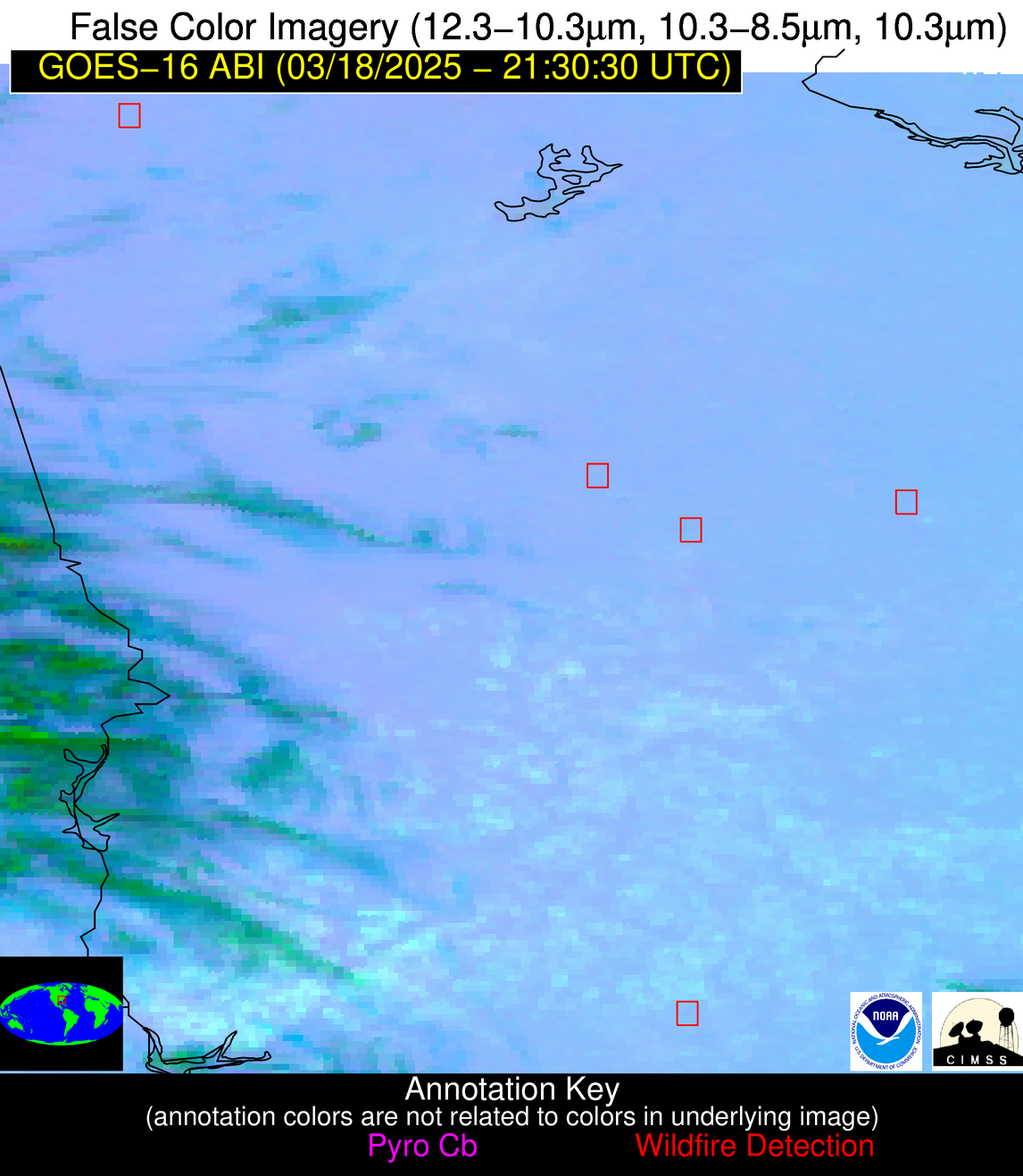
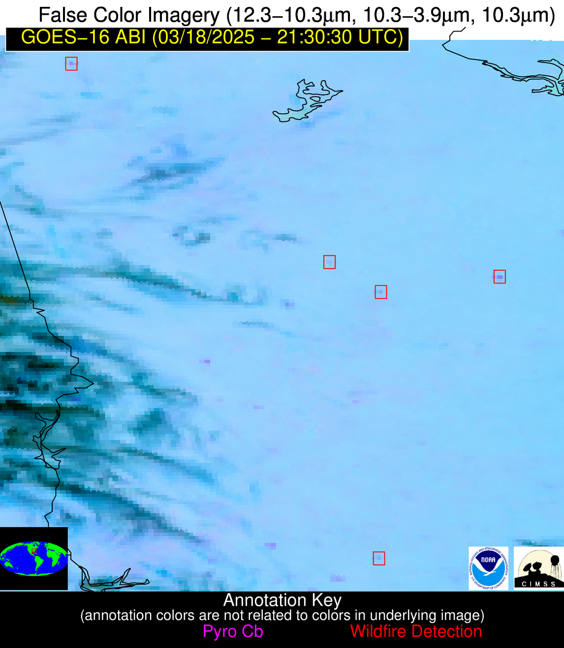
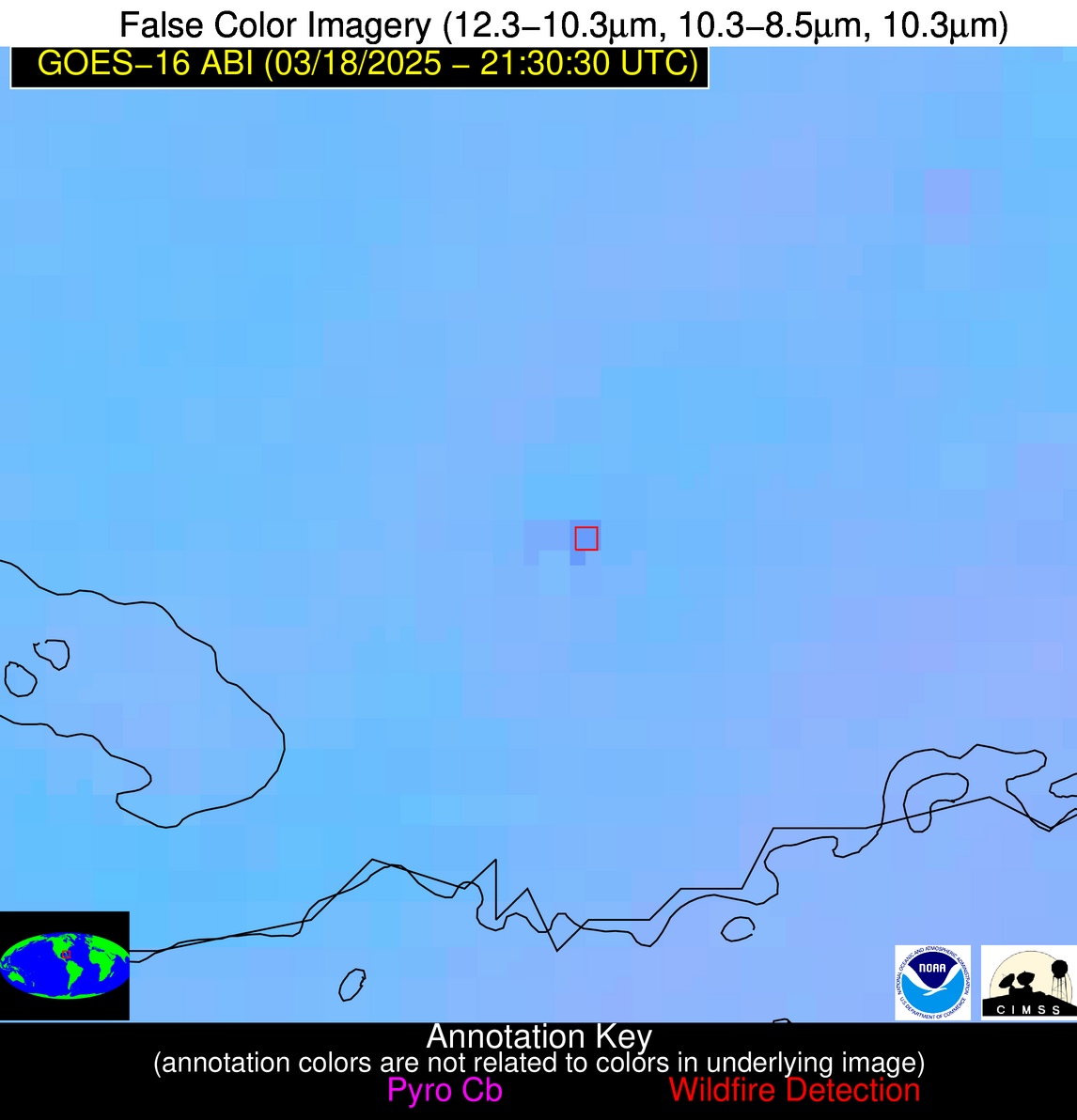
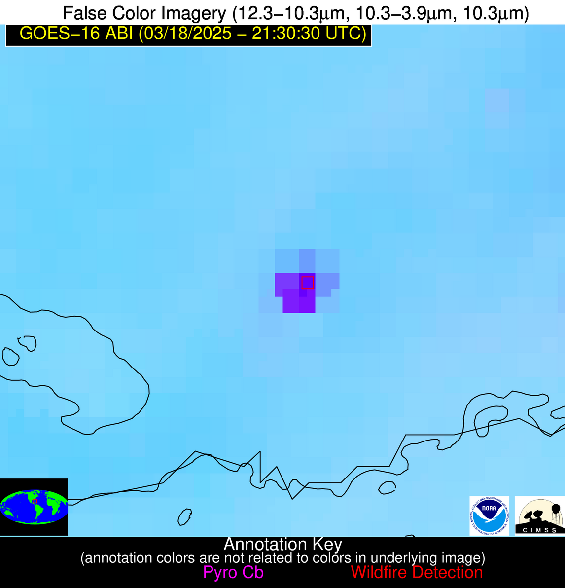
Wildfire Alert Report
| Date: | 2025-03-18 |
|---|---|
| Time: | 21:30:27 |
| Production Date and Time: | 2025-03-18 21:31:05 UTC |
| Primary Instrument: | GOES-16 ABI |
| Wmo Spacecraft Id: | 152 |
| Location/orbit: | GEO |
| L1 File: | OR_ABI-L1b-RadM1-M6C14_G16_s20250772130277_e20250772130335_c20250772130393.nc |
| L1 File(s) - Temporal | NONE |
| Number Of Thermal Anomaly Alerts: | 7 |
Possible Wildfire
| Basic Information | |
|---|---|
| State/Province(s) | GA |
| Country/Countries | United States |
| County/Locality(s) | Gordon County, GA |
| NWS WFO | Peachtree City GA |
| Identification Method | Enhanced Contextual (Clear) |
| Mean Object Date/Time | 2025-03-18 21:30:29UTC |
| Radiative Center (Lat, Lon): | 34.580555°, -84.998055° |
| Nearby Counties (meeting alert criteria): |
|
| Total Radiative Power Anomaly | n/a |
| Total Radiative Power | 27.83 MW |
| Map: | |
| Additional Information | |
| Alert Status | New Feature |
| Type of Event | Nominal Risk |
| Event Priority Ranking | 4 |
| Maximum Observed BT (3.9 um) | 305.71 K |
| Observed - Background BT (3.9 um) | 9.93 K |
| BT Anomaly (3.9 um) | 9.85 K |
| Maximum Observed - Clear RTM BT (3.9 um) | 19.72 K |
| Maximum Observed BTD (3.9-10/11/12 um) | 12.53 K |
| Observed - Background BTD (3.9-10/11/12 um) | 9.62 K |
| BTD Anomaly (3.9-10/11/12 um) | 17.65 K |
| Similar Pixel Count | 1 |
| BT Time Tendency (3.9 um) | -999.00 K |
| Image Interval | -999.00 minutes |
| Fraction of Surrounding LWIR Pixels that are Colder | 0.70 |
| Fraction of Surrounding Red Channel Pixels that are Brighter | 0.92 |
| Maximum Radiative Power | 27.83 MW |
| Maximum Radiative Power Uncertainty | 0.00 MW |
| Total Radiative Power Uncertainty | 0.00 MW |
| Mean Viewing Angle | 41.70° |
| Mean Solar Zenith Angle | 63.10° |
| Mean Glint Angle | 73.90° |
| Water Fraction | 0.00 |
| Total Pixel Area | 5.40 km2 |
| Latest Satellite Imagery: | |
| View all event imagery » | |
Possible Wildfire
| Basic Information | |
|---|---|
| State/Province(s) | GA |
| Country/Countries | United States |
| County/Locality(s) | Monroe County, GA |
| NWS WFO | Peachtree City GA |
| Identification Method | Enhanced Contextual (Clear) |
| Mean Object Date/Time | 2025-03-18 21:30:29UTC |
| Radiative Center (Lat, Lon): | 33.134724°, -83.851387° |
| Nearby Counties (meeting alert criteria): |
|
| Total Radiative Power Anomaly | n/a |
| Total Radiative Power | 8.24 MW |
| Map: | |
| Additional Information | |
| Alert Status | New Feature |
| Type of Event | Nominal Risk |
| Event Priority Ranking | 4 |
| Maximum Observed BT (3.9 um) | 299.88 K |
| Observed - Background BT (3.9 um) | 3.44 K |
| BT Anomaly (3.9 um) | 8.68 K |
| Maximum Observed - Clear RTM BT (3.9 um) | 12.05 K |
| Maximum Observed BTD (3.9-10/11/12 um) | 5.72 K |
| Observed - Background BTD (3.9-10/11/12 um) | 3.21 K |
| BTD Anomaly (3.9-10/11/12 um) | 10.74 K |
| Similar Pixel Count | 1 |
| BT Time Tendency (3.9 um) | -999.00 K |
| Image Interval | -999.00 minutes |
| Fraction of Surrounding LWIR Pixels that are Colder | 0.75 |
| Fraction of Surrounding Red Channel Pixels that are Brighter | 1.00 |
| Maximum Radiative Power | 8.24 MW |
| Maximum Radiative Power Uncertainty | 0.00 MW |
| Total Radiative Power Uncertainty | 0.00 MW |
| Mean Viewing Angle | 39.80° |
| Mean Solar Zenith Angle | 63.50° |
| Mean Glint Angle | 73.40° |
| Water Fraction | 0.00 |
| Total Pixel Area | 5.20 km2 |
| Latest Satellite Imagery: | |
| View all event imagery » | |
Possible Wildfire
| Basic Information | |
|---|---|
| State/Province(s) | GA |
| Country/Countries | United States |
| County/Locality(s) | Baldwin County, GA |
| NWS WFO | Peachtree City GA |
| Identification Method | Enhanced Contextual (Clear) |
| Mean Object Date/Time | 2025-03-18 21:30:29UTC |
| Radiative Center (Lat, Lon): | 33.028332°, -83.095558° |
| Nearby Counties (meeting alert criteria): |
|
| Total Radiative Power Anomaly | n/a |
| Total Radiative Power | 31.75 MW |
| Map: | |
| Additional Information | |
| Alert Status | New Feature |
| Type of Event | Nominal Risk |
| Event Priority Ranking | 4 |
| Maximum Observed BT (3.9 um) | 307.80 K |
| Observed - Background BT (3.9 um) | 11.27 K |
| BT Anomaly (3.9 um) | 21.94 K |
| Maximum Observed - Clear RTM BT (3.9 um) | 18.96 K |
| Maximum Observed BTD (3.9-10/11/12 um) | 13.77 K |
| Observed - Background BTD (3.9-10/11/12 um) | 10.96 K |
| BTD Anomaly (3.9-10/11/12 um) | 53.21 K |
| Similar Pixel Count | 1 |
| BT Time Tendency (3.9 um) | -999.00 K |
| Image Interval | -999.00 minutes |
| Fraction of Surrounding LWIR Pixels that are Colder | 0.76 |
| Fraction of Surrounding Red Channel Pixels that are Brighter | 1.00 |
| Maximum Radiative Power | 31.75 MW |
| Maximum Radiative Power Uncertainty | 0.00 MW |
| Total Radiative Power Uncertainty | 0.00 MW |
| Mean Viewing Angle | 39.50° |
| Mean Solar Zenith Angle | 64.00° |
| Mean Glint Angle | 74.10° |
| Water Fraction | 0.00 |
| Total Pixel Area | 5.20 km2 |
| Latest Satellite Imagery: | |
| View all event imagery » | |
Possible Wildfire
| Basic Information | |
|---|---|
| State/Province(s) | GA |
| Country/Countries | United States |
| County/Locality(s) | Jones County, GA |
| NWS WFO | Peachtree City GA |
| Identification Method | Enhanced Contextual (Clear) |
| Mean Object Date/Time | 2025-03-18 21:30:29UTC |
| Radiative Center (Lat, Lon): | 32.916668°, -83.623055° |
| Nearby Counties (meeting alert criteria): |
|
| Total Radiative Power Anomaly | n/a |
| Total Radiative Power | 15.52 MW |
| Map: | |
| Additional Information | |
| Alert Status | New Feature |
| Type of Event | Nominal Risk |
| Event Priority Ranking | 4 |
| Maximum Observed BT (3.9 um) | 302.16 K |
| Observed - Background BT (3.9 um) | 5.27 K |
| BT Anomaly (3.9 um) | 5.89 K |
| Maximum Observed - Clear RTM BT (3.9 um) | 13.77 K |
| Maximum Observed BTD (3.9-10/11/12 um) | 8.57 K |
| Observed - Background BTD (3.9-10/11/12 um) | 5.78 K |
| BTD Anomaly (3.9-10/11/12 um) | 14.81 K |
| Similar Pixel Count | 1 |
| BT Time Tendency (3.9 um) | -999.00 K |
| Image Interval | -999.00 minutes |
| Fraction of Surrounding LWIR Pixels that are Colder | 0.14 |
| Fraction of Surrounding Red Channel Pixels that are Brighter | 1.00 |
| Maximum Radiative Power | 15.52 MW |
| Maximum Radiative Power Uncertainty | 0.00 MW |
| Total Radiative Power Uncertainty | 0.00 MW |
| Mean Viewing Angle | 39.50° |
| Mean Solar Zenith Angle | 63.60° |
| Mean Glint Angle | 73.40° |
| Water Fraction | 0.00 |
| Total Pixel Area | 5.20 km2 |
| Latest Satellite Imagery: | |
| View all event imagery » | |
Possible Wildfire
| Basic Information | |
|---|---|
| State/Province(s) | SC |
| Country/Countries | United States |
| County/Locality(s) | Beaufort County, SC |
| NWS WFO | Charleston SC |
| Identification Method | Enhanced Contextual (Clear) |
| Mean Object Date/Time | 2025-03-18 21:30:30UTC |
| Radiative Center (Lat, Lon): | 32.479168°, -80.768608° |
| Nearby Counties (meeting alert criteria): |
|
| Total Radiative Power Anomaly | n/a |
| Total Radiative Power | 18.19 MW |
| Map: | |
| Additional Information | |
| Alert Status | New Feature |
| Type of Event | Nominal Risk |
| Event Priority Ranking | 4 |
| Maximum Observed BT (3.9 um) | 302.12 K |
| Observed - Background BT (3.9 um) | 8.28 K |
| BT Anomaly (3.9 um) | 10.54 K |
| Maximum Observed - Clear RTM BT (3.9 um) | 13.53 K |
| Maximum Observed BTD (3.9-10/11/12 um) | 9.99 K |
| Observed - Background BTD (3.9-10/11/12 um) | 7.21 K |
| BTD Anomaly (3.9-10/11/12 um) | 33.95 K |
| Similar Pixel Count | 1 |
| BT Time Tendency (3.9 um) | -999.00 K |
| Image Interval | -999.00 minutes |
| Fraction of Surrounding LWIR Pixels that are Colder | 0.99 |
| Fraction of Surrounding Red Channel Pixels that are Brighter | 1.00 |
| Maximum Radiative Power | 18.19 MW |
| Maximum Radiative Power Uncertainty | 0.00 MW |
| Total Radiative Power Uncertainty | 0.00 MW |
| Mean Viewing Angle | 38.40° |
| Mean Solar Zenith Angle | 65.70° |
| Mean Glint Angle | 76.30° |
| Water Fraction | 0.00 |
| Total Pixel Area | 5.10 km2 |
| Latest Satellite Imagery: | |
| View all event imagery » | |
Possible Wildfire
| Basic Information | |
|---|---|
| State/Province(s) | GA |
| Country/Countries | United States |
| County/Locality(s) | Brooks County, GA |
| NWS WFO | Tallahassee FL |
| Identification Method | Enhanced Contextual (Clear) |
| Mean Object Date/Time | 2025-03-18 21:30:29UTC |
| Radiative Center (Lat, Lon): | 30.974722°, -83.631668° |
| Nearby Counties (meeting alert criteria): |
|
| Total Radiative Power Anomaly | n/a |
| Total Radiative Power | 12.12 MW |
| Map: | |
| Additional Information | |
| Alert Status | New Feature |
| Type of Event | Nominal Risk |
| Event Priority Ranking | 4 |
| Maximum Observed BT (3.9 um) | 302.40 K |
| Observed - Background BT (3.9 um) | 5.56 K |
| BT Anomaly (3.9 um) | 6.63 K |
| Maximum Observed - Clear RTM BT (3.9 um) | 12.24 K |
| Maximum Observed BTD (3.9-10/11/12 um) | 8.02 K |
| Observed - Background BTD (3.9-10/11/12 um) | 5.00 K |
| BTD Anomaly (3.9-10/11/12 um) | 14.71 K |
| Similar Pixel Count | 1 |
| BT Time Tendency (3.9 um) | -999.00 K |
| Image Interval | -999.00 minutes |
| Fraction of Surrounding LWIR Pixels that are Colder | 0.87 |
| Fraction of Surrounding Red Channel Pixels that are Brighter | 1.00 |
| Maximum Radiative Power | 12.12 MW |
| Maximum Radiative Power Uncertainty | 0.00 MW |
| Total Radiative Power Uncertainty | 0.00 MW |
| Mean Viewing Angle | 37.40° |
| Mean Solar Zenith Angle | 62.90° |
| Mean Glint Angle | 71.10° |
| Water Fraction | 0.00 |
| Total Pixel Area | 5.00 km2 |
| Latest Satellite Imagery: | |
| View all event imagery » | |
Possible Wildfire
| Basic Information | |
|---|---|
| State/Province(s) | FL |
| Country/Countries | United States |
| County/Locality(s) | Miami-Dade County, FL |
| NWS WFO | Miami FL |
| Identification Method | Enhanced Contextual (Cloud) |
| Mean Object Date/Time | 2025-03-18 21:30:33UTC |
| Radiative Center (Lat, Lon): | 25.358055°, -80.751114° |
| Nearby Counties (meeting alert criteria): |
|
| Total Radiative Power Anomaly | n/a |
| Total Radiative Power | 374.06 MW |
| Map: | |
| Additional Information | |
| Alert Status | New Feature |
| Type of Event | Nominal Risk |
| Event Priority Ranking | 4 |
| Maximum Observed BT (3.9 um) | 329.35 K |
| Observed - Background BT (3.9 um) | 31.22 K |
| BT Anomaly (3.9 um) | 44.99 K |
| Maximum Observed - Clear RTM BT (3.9 um) | 34.78 K |
| Maximum Observed BTD (3.9-10/11/12 um) | 32.65 K |
| Observed - Background BTD (3.9-10/11/12 um) | 29.55 K |
| BTD Anomaly (3.9-10/11/12 um) | 69.78 K |
| Similar Pixel Count | 0 |
| BT Time Tendency (3.9 um) | -999.00 K |
| Image Interval | -999.00 minutes |
| Fraction of Surrounding LWIR Pixels that are Colder | 1.00 |
| Fraction of Surrounding Red Channel Pixels that are Brighter | 0.71 |
| Maximum Radiative Power | 116.75 MW |
| Maximum Radiative Power Uncertainty | 0.00 MW |
| Total Radiative Power Uncertainty | 0.00 MW |
| Mean Viewing Angle | 30.40° |
| Mean Solar Zenith Angle | 63.60° |
| Mean Glint Angle | 68.90° |
| Water Fraction | 0.00 |
| Total Pixel Area | 18.50 km2 |
| Latest Satellite Imagery: | |
| View all event imagery » | |
