Wildfire Alert Report
| Date: | 2025-03-18 |
|---|---|
| Time: | 13:51:16 |
| Production Date and Time: | 2025-03-18 13:56:00 UTC |
| Primary Instrument: | GOES-16 ABI |
| Wmo Spacecraft Id: | 152 |
| Location/orbit: | GEO |
| L1 File: | OR_ABI-L1b-RadC-M6C14_G16_s20250771351169_e20250771353542_c20250771354041.nc |
| L1 File(s) - Temporal | OR_ABI-L1b-RadC-M6C14_G16_s20250771346169_e20250771348542_c20250771349045.nc |
| Number Of Thermal Anomaly Alerts: | 4 |
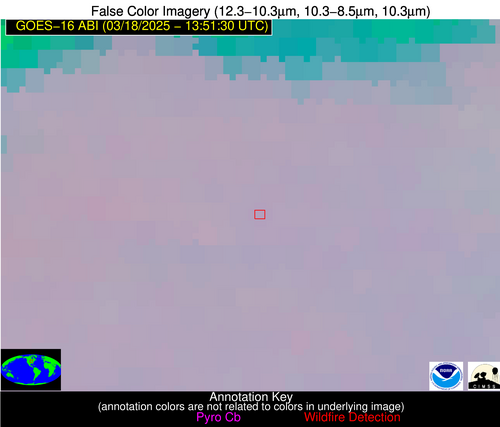
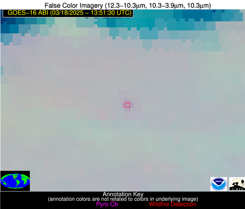
Possible Wildfire
| Basic Information | |
|---|---|
| State/Province(s) | IA |
| Country/Countries | United States |
| County/Locality(s) | Benton County, IA |
| NWS WFO | Quad Cities IL |
| Identification Method | Enhanced Contextual (Clear) |
| Mean Object Date/Time | 2025-03-18 13:51:50UTC |
| Radiative Center (Lat, Lon): | 41.910278°, -91.977501° |
| Nearby Counties (meeting alert criteria): |
|
| Total Radiative Power Anomaly | n/a |
| Total Radiative Power | 7.68 MW |
| Map: | |
| Additional Information | |
| Alert Status | New Feature |
| Type of Event | Nominal Risk |
| Event Priority Ranking | 4 |
| Maximum Observed BT (3.9 um) | 288.16 K |
| Observed - Background BT (3.9 um) | 3.76 K |
| BT Anomaly (3.9 um) | 6.15 K |
| Maximum Observed - Clear RTM BT (3.9 um) | 7.52 K |
| Maximum Observed BTD (3.9-10/11/12 um) | 8.69 K |
| Observed - Background BTD (3.9-10/11/12 um) | 3.40 K |
| BTD Anomaly (3.9-10/11/12 um) | 4.77 K |
| Similar Pixel Count | 4 |
| BT Time Tendency (3.9 um) | 2.80 K |
| Image Interval | 5.00 minutes |
| Fraction of Surrounding LWIR Pixels that are Colder | 0.71 |
| Fraction of Surrounding Red Channel Pixels that are Brighter | 1.00 |
| Maximum Radiative Power | 7.68 MW |
| Maximum Radiative Power Uncertainty | 0.00 MW |
| Total Radiative Power Uncertainty | 0.00 MW |
| Mean Viewing Angle | 51.50° |
| Mean Solar Zenith Angle | 73.50° |
| Mean Glint Angle | 108.70° |
| Water Fraction | 0.00 |
| Total Pixel Area | 6.40 km2 |
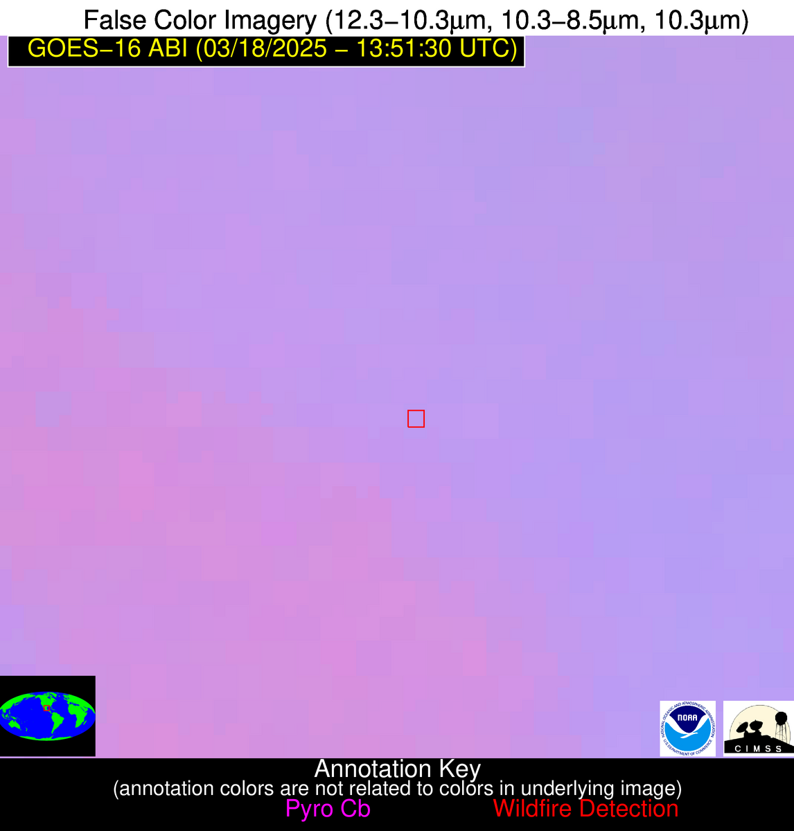
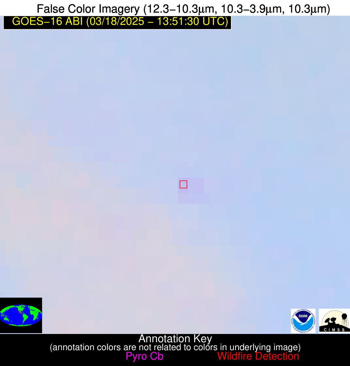
| Latest Satellite Imagery: | |
| View all event imagery » | |
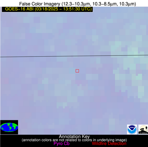
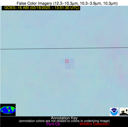
Possible Wildfire
| Basic Information | |
|---|---|
| State/Province(s) | FL |
| Country/Countries | United States |
| County/Locality(s) | Jackson County, FL |
| NWS WFO | Tallahassee FL |
| Identification Method | Enhanced Contextual (Clear) |
| Mean Object Date/Time | 2025-03-18 13:52:20UTC |
| Radiative Center (Lat, Lon): | 30.933611°, -85.412224° |
| Nearby Counties (meeting alert criteria): |
|
| Total Radiative Power Anomaly | n/a |
| Total Radiative Power | 8.27 MW |
| Map: | |
| Additional Information | |
| Alert Status | New Feature |
| Type of Event | Nominal Risk |
| Event Priority Ranking | 4 |
| Maximum Observed BT (3.9 um) | 290.27 K |
| Observed - Background BT (3.9 um) | 2.68 K |
| BT Anomaly (3.9 um) | 6.68 K |
| Maximum Observed - Clear RTM BT (3.9 um) | 6.17 K |
| Maximum Observed BTD (3.9-10/11/12 um) | 5.57 K |
| Observed - Background BTD (3.9-10/11/12 um) | 2.50 K |
| BTD Anomaly (3.9-10/11/12 um) | 8.02 K |
| Similar Pixel Count | 5 |
| BT Time Tendency (3.9 um) | 2.50 K |
| Image Interval | 5.00 minutes |
| Fraction of Surrounding LWIR Pixels that are Colder | 0.67 |
| Fraction of Surrounding Red Channel Pixels that are Brighter | 1.00 |
| Maximum Radiative Power | 4.32 MW |
| Maximum Radiative Power Uncertainty | 0.00 MW |
| Total Radiative Power Uncertainty | 0.00 MW |
| Mean Viewing Angle | 37.80° |
| Mean Solar Zenith Angle | 65.10° |
| Mean Glint Angle | 90.10° |
| Water Fraction | 0.00 |
| Total Pixel Area | 10.10 km2 |
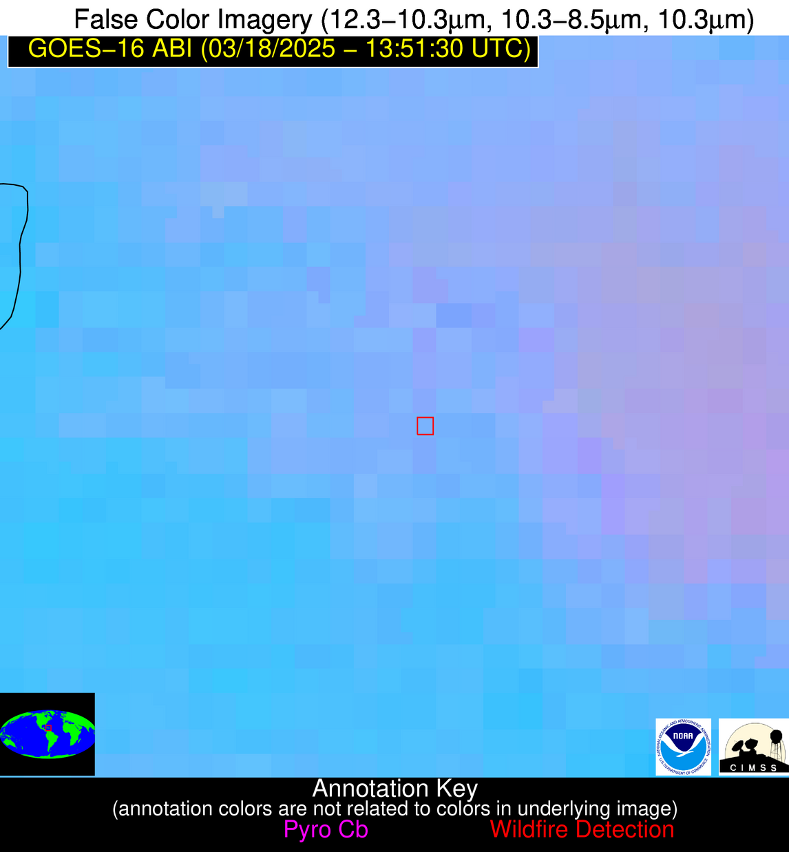
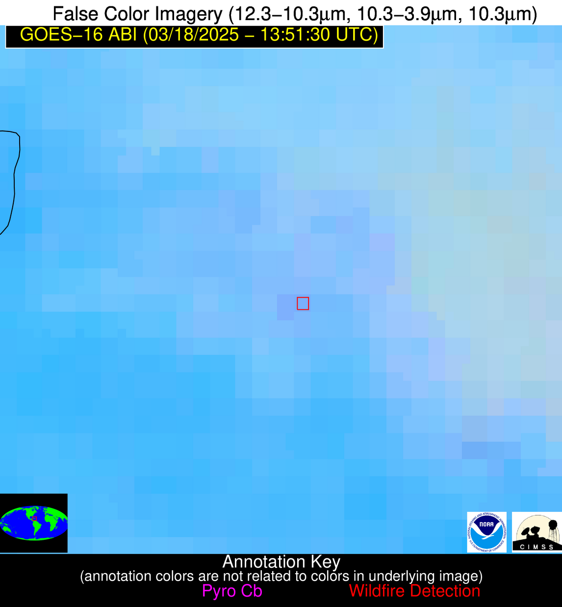
| Latest Satellite Imagery: | |
| View all event imagery » | |
Possible Wildfire
| Basic Information | |
|---|---|
| State/Province(s) | Tamaulipas |
| Country/Countries | Mexico |
| County/Locality(s) | San Carlos, Tamaulipas |
| NWS WFO | N/A |
| Identification Method | Enhanced Contextual (Clear) |
| Mean Object Date/Time | 2025-03-18 13:53:18UTC |
| Radiative Center (Lat, Lon): | 24.207500°, -99.104446° |
| Nearby Counties (meeting alert criteria): |
|
| Total Radiative Power Anomaly | n/a |
| Total Radiative Power | 4.56 MW |
| Map: | |
| Additional Information | |
| Alert Status | New Feature |
| Type of Event | Nominal Risk |
| Event Priority Ranking | 4 |
| Maximum Observed BT (3.9 um) | 294.42 K |
| Observed - Background BT (3.9 um) | 2.92 K |
| BT Anomaly (3.9 um) | 3.18 K |
| Maximum Observed - Clear RTM BT (3.9 um) | 3.12 K |
| Maximum Observed BTD (3.9-10/11/12 um) | 4.25 K |
| Observed - Background BTD (3.9-10/11/12 um) | 2.38 K |
| BTD Anomaly (3.9-10/11/12 um) | 7.49 K |
| Similar Pixel Count | 4 |
| BT Time Tendency (3.9 um) | 2.30 K |
| Image Interval | 5.00 minutes |
| Fraction of Surrounding LWIR Pixels that are Colder | 0.83 |
| Fraction of Surrounding Red Channel Pixels that are Brighter | 1.00 |
| Maximum Radiative Power | 4.56 MW |
| Maximum Radiative Power Uncertainty | 0.00 MW |
| Total Radiative Power Uncertainty | 0.00 MW |
| Mean Viewing Angle | 39.00° |
| Mean Solar Zenith Angle | 75.50° |
| Mean Glint Angle | 107.80° |
| Water Fraction | 0.00 |
| Total Pixel Area | 5.10 km2 |
| Latest Satellite Imagery: | |
| View all event imagery » | |
Possible Wildfire
| Basic Information | |
|---|---|
| State/Province(s) | Unknown |
| Country/Countries | Dominican Republic |
| County/Locality(s) | Unknown, Unknown |
| NWS WFO | N/A |
| Identification Method | Enhanced Contextual (Clear) |
| Mean Object Date/Time | 2025-03-18 13:53:52UTC |
| Radiative Center (Lat, Lon): | 19.059444°, -71.347778° |
| Nearby Counties (meeting alert criteria): |
|
| Total Radiative Power Anomaly | n/a |
| Total Radiative Power | 10.96 MW |
| Map: | |
| Additional Information | |
| Alert Status | New Feature |
| Type of Event | Nominal Risk |
| Event Priority Ranking | 4 |
| Maximum Observed BT (3.9 um) | 303.50 K |
| Observed - Background BT (3.9 um) | 2.10 K |
| BT Anomaly (3.9 um) | 0.97 K |
| Maximum Observed - Clear RTM BT (3.9 um) | 9.19 K |
| Maximum Observed BTD (3.9-10/11/12 um) | 7.76 K |
| Observed - Background BTD (3.9-10/11/12 um) | 1.71 K |
| BTD Anomaly (3.9-10/11/12 um) | 1.98 K |
| Similar Pixel Count | 18 |
| BT Time Tendency (3.9 um) | 1.90 K |
| Image Interval | 5.00 minutes |
| Fraction of Surrounding LWIR Pixels that are Colder | 0.75 |
| Fraction of Surrounding Red Channel Pixels that are Brighter | 1.00 |
| Maximum Radiative Power | 6.03 MW |
| Maximum Radiative Power Uncertainty | 0.00 MW |
| Total Radiative Power Uncertainty | 0.00 MW |
| Mean Viewing Angle | 22.90° |
| Mean Solar Zenith Angle | 49.20° |
| Mean Glint Angle | 55.60° |
| Water Fraction | 0.00 |
| Total Pixel Area | 8.70 km2 |
| Latest Satellite Imagery: | |
| View all event imagery » | |
