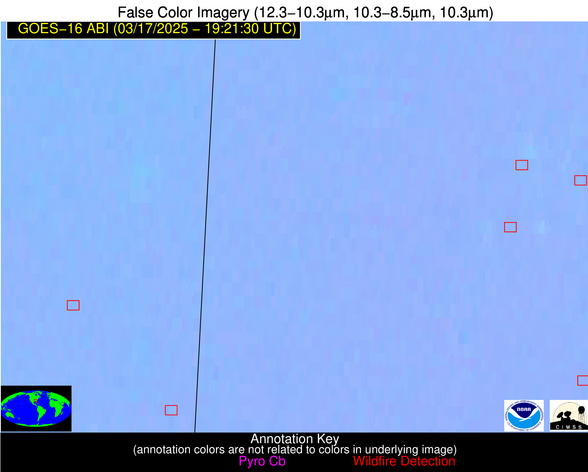
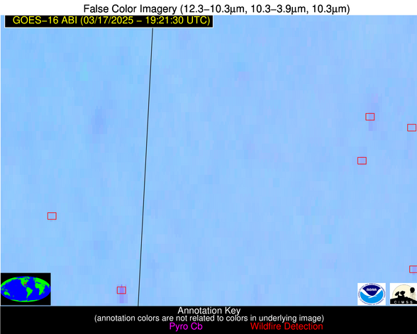
Jan 2026: Due to an ongoing data center cooling system construction project, NGFS data outages may occur with little or no notice. Bitterly cold air in Madison Jan 22-24 increases risk of outages.
Wildfire Alert Report
| Date: | 2025-03-17 |
|---|---|
| Time: | 19:21:16 |
| Production Date and Time: | 2025-03-17 19:26:07 UTC |
| Primary Instrument: | GOES-16 ABI |
| Wmo Spacecraft Id: | 152 |
| Location/orbit: | GEO |
| L1 File: | OR_ABI-L1b-RadC-M6C14_G16_s20250761921169_e20250761923542_c20250761924039.nc |
| L1 File(s) - Temporal | OR_ABI-L1b-RadC-M6C14_G16_s20250761916169_e20250761918542_c20250761919015.nc |
| Number Of Thermal Anomaly Alerts: | 7 |
Possible Wildfire
| Basic Information | |
|---|---|
| State/Province(s) | IA |
| Country/Countries | United States |
| County/Locality(s) | Henry County, IA |
| NWS WFO | Quad Cities IL |
| Identification Method | Enhanced Contextual (Clear) |
| Mean Object Date/Time | 2025-03-17 19:21:50UTC |
| Radiative Center (Lat, Lon): | 40.851112°, -91.548889° |
| Nearby Counties (meeting alert criteria): |
|
| Total Radiative Power Anomaly | n/a |
| Total Radiative Power | 33.37 MW |
| Map: | |
| Additional Information | |
| Alert Status | New Feature |
| Type of Event | Nominal Risk and Red Flag Warning |
| Event Priority Ranking | 1 |
| Maximum Observed BT (3.9 um) | 303.47 K |
| Observed - Background BT (3.9 um) | 5.21 K |
| BT Anomaly (3.9 um) | 3.24 K |
| Maximum Observed - Clear RTM BT (3.9 um) | 20.19 K |
| Maximum Observed BTD (3.9-10/11/12 um) | 15.93 K |
| Observed - Background BTD (3.9-10/11/12 um) | 5.28 K |
| BTD Anomaly (3.9-10/11/12 um) | 4.14 K |
| Similar Pixel Count | 21 |
| BT Time Tendency (3.9 um) | 5.90 K |
| Image Interval | 5.00 minutes |
| Fraction of Surrounding LWIR Pixels that are Colder | 0.69 |
| Fraction of Surrounding Red Channel Pixels that are Brighter | 1.00 |
| Maximum Radiative Power | 17.10 MW |
| Maximum Radiative Power Uncertainty | 0.00 MW |
| Total Radiative Power Uncertainty | 0.00 MW |
| Mean Viewing Angle | 50.30° |
| Mean Solar Zenith Angle | 45.30° |
| Mean Glint Angle | 85.30° |
| Water Fraction | 0.00 |
| Total Pixel Area | 12.50 km2 |
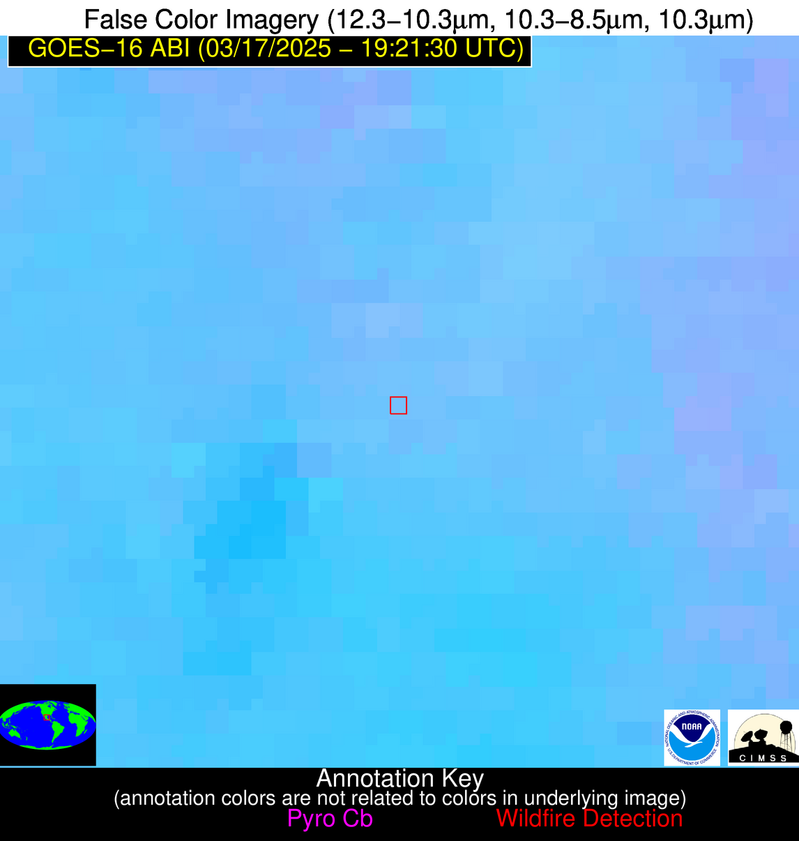
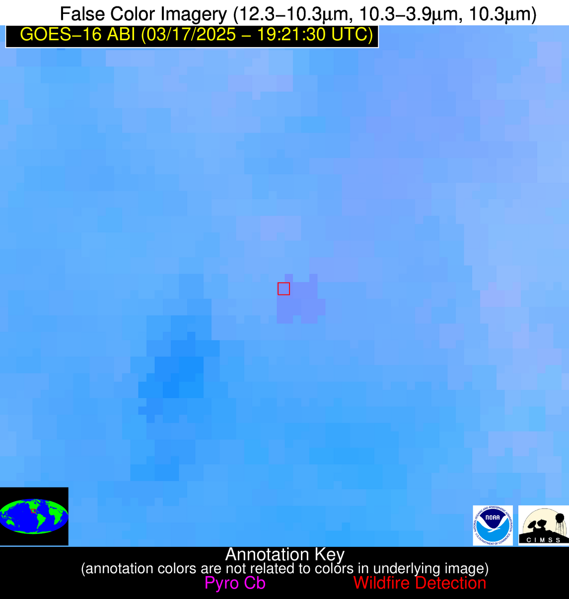
| Latest Satellite Imagery: | |
| View all event imagery » | |
Possible Wildfire
| Basic Information | |
|---|---|
| State/Province(s) | OH |
| Country/Countries | United States |
| County/Locality(s) | Jefferson County, OH |
| NWS WFO | Pittsburgh PA |
| Identification Method | Enhanced Contextual (Clear) |
| Mean Object Date/Time | 2025-03-17 19:21:51UTC |
| Radiative Center (Lat, Lon): | 40.317780°, -80.611664° |
| Nearby Counties (meeting alert criteria): |
|
| Total Radiative Power Anomaly | n/a |
| Total Radiative Power | 15.22 MW |
| Map: | |
| Additional Information | |
| Alert Status | New Feature |
| Type of Event | Likely an Urban Source |
| Event Priority Ranking | 4 |
| Maximum Observed BT (3.9 um) | 296.69 K |
| Observed - Background BT (3.9 um) | 6.60 K |
| BT Anomaly (3.9 um) | 9.63 K |
| Maximum Observed - Clear RTM BT (3.9 um) | 16.08 K |
| Maximum Observed BTD (3.9-10/11/12 um) | 13.07 K |
| Observed - Background BTD (3.9-10/11/12 um) | 5.85 K |
| BTD Anomaly (3.9-10/11/12 um) | 8.82 K |
| Similar Pixel Count | 8 |
| BT Time Tendency (3.9 um) | 3.90 K |
| Image Interval | 5.00 minutes |
| Fraction of Surrounding LWIR Pixels that are Colder | 0.86 |
| Fraction of Surrounding Red Channel Pixels that are Brighter | 1.00 |
| Maximum Radiative Power | 15.22 MW |
| Maximum Radiative Power Uncertainty | 0.00 MW |
| Total Radiative Power Uncertainty | 0.00 MW |
| Mean Viewing Angle | 47.20° |
| Mean Solar Zenith Angle | 49.10° |
| Mean Glint Angle | 86.60° |
| Water Fraction | 0.00 |
| Total Pixel Area | 5.90 km2 |
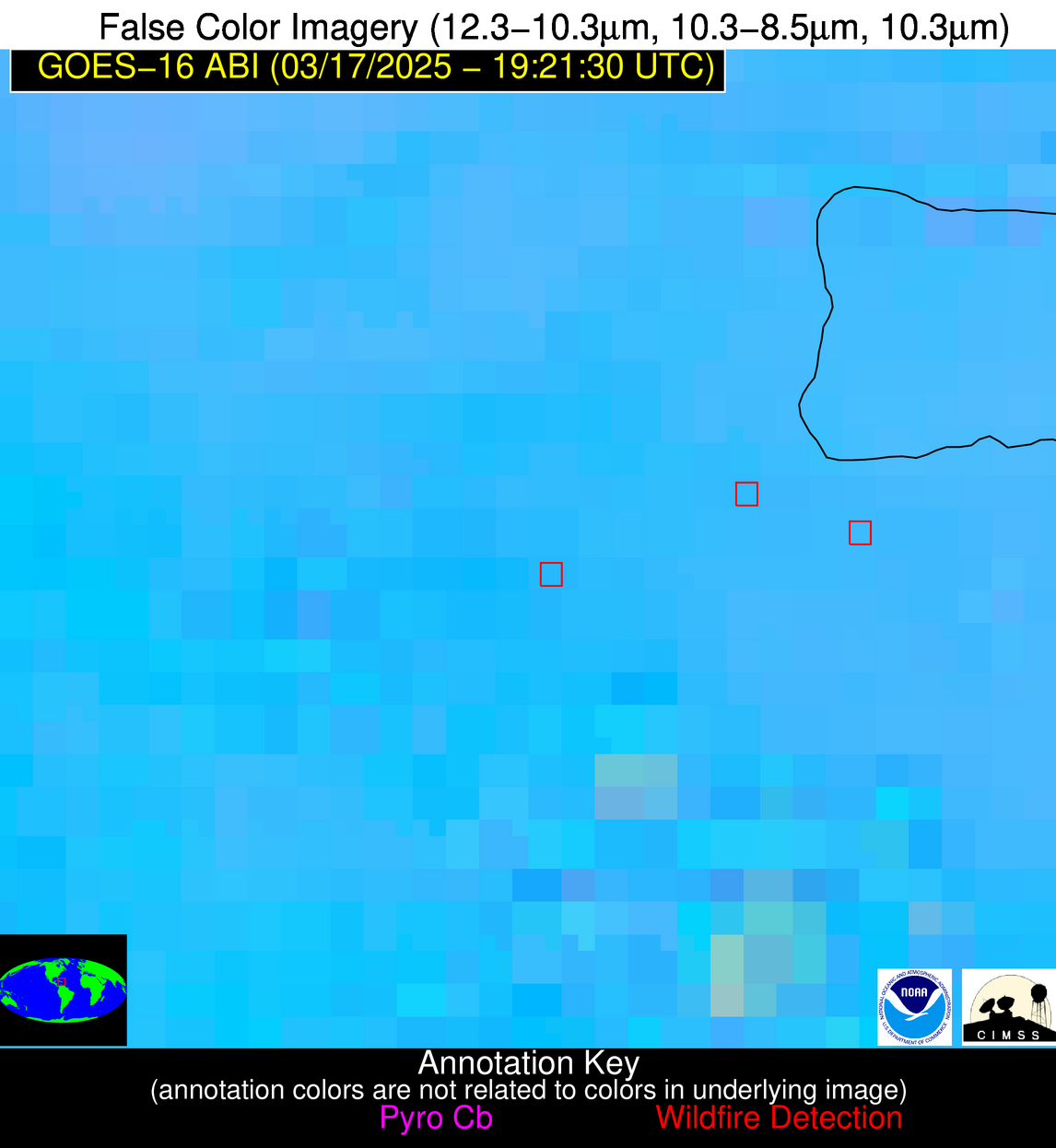
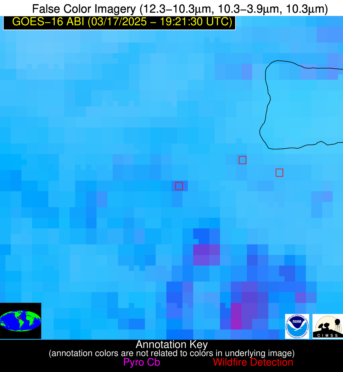
| Latest Satellite Imagery: | |
| View all event imagery » | |
Possible Wildfire
| Basic Information | |
|---|---|
| State/Province(s) | AL |
| Country/Countries | United States |
| County/Locality(s) | Dallas County, AL |
| NWS WFO | Birmingham AL |
| Identification Method | Enhanced Contextual (Clear) |
| Mean Object Date/Time | 2025-03-17 19:22:20UTC |
| Radiative Center (Lat, Lon): | 32.386112°, -87.053886° |
| Nearby Counties (meeting alert criteria): |
|
| Total Radiative Power Anomaly | n/a |
| Total Radiative Power | 9.52 MW |
| Map: | |
| Additional Information | |
| Alert Status | New Feature |
| Type of Event | Nominal Risk |
| Event Priority Ranking | 4 |
| Maximum Observed BT (3.9 um) | 301.49 K |
| Observed - Background BT (3.9 um) | 4.27 K |
| BT Anomaly (3.9 um) | 5.69 K |
| Maximum Observed - Clear RTM BT (3.9 um) | 14.93 K |
| Maximum Observed BTD (3.9-10/11/12 um) | 8.19 K |
| Observed - Background BTD (3.9-10/11/12 um) | 3.81 K |
| BTD Anomaly (3.9-10/11/12 um) | 9.42 K |
| Similar Pixel Count | 10 |
| BT Time Tendency (3.9 um) | 1.40 K |
| Image Interval | 5.00 minutes |
| Fraction of Surrounding LWIR Pixels that are Colder | 0.76 |
| Fraction of Surrounding Red Channel Pixels that are Brighter | 0.31 |
| Maximum Radiative Power | 9.52 MW |
| Maximum Radiative Power Uncertainty | 0.00 MW |
| Total Radiative Power Uncertainty | 0.00 MW |
| Mean Viewing Angle | 39.90° |
| Mean Solar Zenith Angle | 39.60° |
| Mean Glint Angle | 69.00° |
| Water Fraction | 0.00 |
| Total Pixel Area | 5.20 km2 |
| Latest Satellite Imagery: | |
| View all event imagery » | |
Possible Wildfire
| Basic Information | |
|---|---|
| State/Province(s) | MS |
| Country/Countries | United States |
| County/Locality(s) | Jasper County, MS |
| NWS WFO | Jackson MS |
| Identification Method | Enhanced Contextual (Clear) |
| Mean Object Date/Time | 2025-03-17 19:22:20UTC |
| Radiative Center (Lat, Lon): | 32.121944°, -88.992500° |
| Nearby Counties (meeting alert criteria): |
|
| Total Radiative Power Anomaly | n/a |
| Total Radiative Power | 4.14 MW |
| Map: | |
| Additional Information | |
| Alert Status | New Feature |
| Type of Event | Nominal Risk |
| Event Priority Ranking | 4 |
| Maximum Observed BT (3.9 um) | 298.84 K |
| Observed - Background BT (3.9 um) | 2.31 K |
| BT Anomaly (3.9 um) | 3.29 K |
| Maximum Observed - Clear RTM BT (3.9 um) | 10.81 K |
| Maximum Observed BTD (3.9-10/11/12 um) | 6.01 K |
| Observed - Background BTD (3.9-10/11/12 um) | 1.88 K |
| BTD Anomaly (3.9-10/11/12 um) | 6.76 K |
| Similar Pixel Count | 15 |
| BT Time Tendency (3.9 um) | 0.50 K |
| Image Interval | 5.00 minutes |
| Fraction of Surrounding LWIR Pixels that are Colder | 0.79 |
| Fraction of Surrounding Red Channel Pixels that are Brighter | 1.00 |
| Maximum Radiative Power | 4.14 MW |
| Maximum Radiative Power Uncertainty | 0.00 MW |
| Total Radiative Power Uncertainty | 0.00 MW |
| Mean Viewing Angle | 40.40° |
| Mean Solar Zenith Angle | 38.50° |
| Mean Glint Angle | 68.10° |
| Water Fraction | 0.00 |
| Total Pixel Area | 5.30 km2 |
| Latest Satellite Imagery: | |
| View all event imagery » | |
Possible Wildfire
| Basic Information | |
|---|---|
| State/Province(s) | Chihuahua |
| Country/Countries | Mexico |
| County/Locality(s) | Guachochi, Chihuahua |
| NWS WFO | N/A |
| Identification Method | Enhanced Contextual (Clear) |
| Mean Object Date/Time | 2025-03-17 19:22:47UTC |
| Radiative Center (Lat, Lon): | 27.025833°, -106.960556° |
| Nearby Counties (meeting alert criteria): |
|
| Total Radiative Power Anomaly | n/a |
| Total Radiative Power | 18.87 MW |
| Map: | |
| Additional Information | |
| Alert Status | New Feature |
| Type of Event | Nominal Risk |
| Event Priority Ranking | 4 |
| Maximum Observed BT (3.9 um) | 315.25 K |
| Observed - Background BT (3.9 um) | 4.33 K |
| BT Anomaly (3.9 um) | 4.41 K |
| Maximum Observed - Clear RTM BT (3.9 um) | 12.60 K |
| Maximum Observed BTD (3.9-10/11/12 um) | 13.14 K |
| Observed - Background BTD (3.9-10/11/12 um) | 4.74 K |
| BTD Anomaly (3.9-10/11/12 um) | 4.64 K |
| Similar Pixel Count | 12 |
| BT Time Tendency (3.9 um) | 0.30 K |
| Image Interval | 5.00 minutes |
| Fraction of Surrounding LWIR Pixels that are Colder | 0.76 |
| Fraction of Surrounding Red Channel Pixels that are Brighter | 1.00 |
| Maximum Radiative Power | 18.87 MW |
| Maximum Radiative Power Uncertainty | 0.00 MW |
| Total Radiative Power Uncertainty | 0.00 MW |
| Mean Viewing Angle | 47.20° |
| Mean Solar Zenith Angle | 28.90° |
| Mean Glint Angle | 66.70° |
| Water Fraction | 0.00 |
| Total Pixel Area | 5.90 km2 |
| Latest Satellite Imagery: | |
| View all event imagery » | |
Possible Wildfire
| Basic Information | |
|---|---|
| State/Province(s) | Tamaulipas |
| Country/Countries | Mexico |
| County/Locality(s) | Tula, Tamaulipas |
| NWS WFO | N/A |
| Identification Method | Enhanced Contextual (Clear) |
| Mean Object Date/Time | 2025-03-17 19:23:18UTC |
| Radiative Center (Lat, Lon): | 22.861666°, -99.862778° |
| Nearby Counties (meeting alert criteria): |
|
| Total Radiative Power Anomaly | n/a |
| Total Radiative Power | 59.36 MW |
| Map: | |
| Additional Information | |
| Alert Status | New Feature |
| Type of Event | Nominal Risk |
| Event Priority Ranking | 4 |
| Maximum Observed BT (3.9 um) | 317.00 K |
| Observed - Background BT (3.9 um) | 2.68 K |
| BT Anomaly (3.9 um) | 1.77 K |
| Maximum Observed - Clear RTM BT (3.9 um) | 12.36 K |
| Maximum Observed BTD (3.9-10/11/12 um) | 12.10 K |
| Observed - Background BTD (3.9-10/11/12 um) | 3.35 K |
| BTD Anomaly (3.9-10/11/12 um) | 3.02 K |
| Similar Pixel Count | 15 |
| BT Time Tendency (3.9 um) | 2.10 K |
| Image Interval | 5.00 minutes |
| Fraction of Surrounding LWIR Pixels that are Colder | 0.20 |
| Fraction of Surrounding Red Channel Pixels that are Brighter | 1.00 |
| Maximum Radiative Power | 16.24 MW |
| Maximum Radiative Power Uncertainty | 0.00 MW |
| Total Radiative Power Uncertainty | 0.00 MW |
| Mean Viewing Angle | 38.60° |
| Mean Solar Zenith Angle | 26.00° |
| Mean Glint Angle | 52.80° |
| Water Fraction | 0.00 |
| Total Pixel Area | 20.50 km2 |
| Latest Satellite Imagery: | |
| View all event imagery » | |
Possible Wildfire
| Basic Information | |
|---|---|
| State/Province(s) | Unknown |
| Country/Countries | Dominican Republic |
| County/Locality(s) | Unknown, Unknown |
| NWS WFO | N/A |
| Identification Method | Enhanced Contextual (Clear) |
| Mean Object Date/Time | 2025-03-17 19:23:52UTC |
| Radiative Center (Lat, Lon): | 19.029722°, -69.761948° |
| Nearby Counties (meeting alert criteria): |
|
| Total Radiative Power Anomaly | n/a |
| Total Radiative Power | 24.86 MW |
| Map: | |
| Additional Information | |
| Alert Status | New Feature |
| Type of Event | Nominal Risk |
| Event Priority Ranking | 4 |
| Maximum Observed BT (3.9 um) | 313.55 K |
| Observed - Background BT (3.9 um) | 9.10 K |
| BT Anomaly (3.9 um) | 4.93 K |
| Maximum Observed - Clear RTM BT (3.9 um) | 13.53 K |
| Maximum Observed BTD (3.9-10/11/12 um) | 16.30 K |
| Observed - Background BTD (3.9-10/11/12 um) | 8.24 K |
| BTD Anomaly (3.9-10/11/12 um) | 5.16 K |
| Similar Pixel Count | 4 |
| BT Time Tendency (3.9 um) | 5.80 K |
| Image Interval | 5.00 minutes |
| Fraction of Surrounding LWIR Pixels that are Colder | 0.88 |
| Fraction of Surrounding Red Channel Pixels that are Brighter | 0.97 |
| Maximum Radiative Power | 24.86 MW |
| Maximum Radiative Power Uncertainty | 0.00 MW |
| Total Radiative Power Uncertainty | 0.00 MW |
| Mean Viewing Angle | 23.30° |
| Mean Solar Zenith Angle | 43.10° |
| Mean Glint Angle | 60.60° |
| Water Fraction | 0.00 |
| Total Pixel Area | 4.40 km2 |
| Latest Satellite Imagery: | |
| View all event imagery » | |
