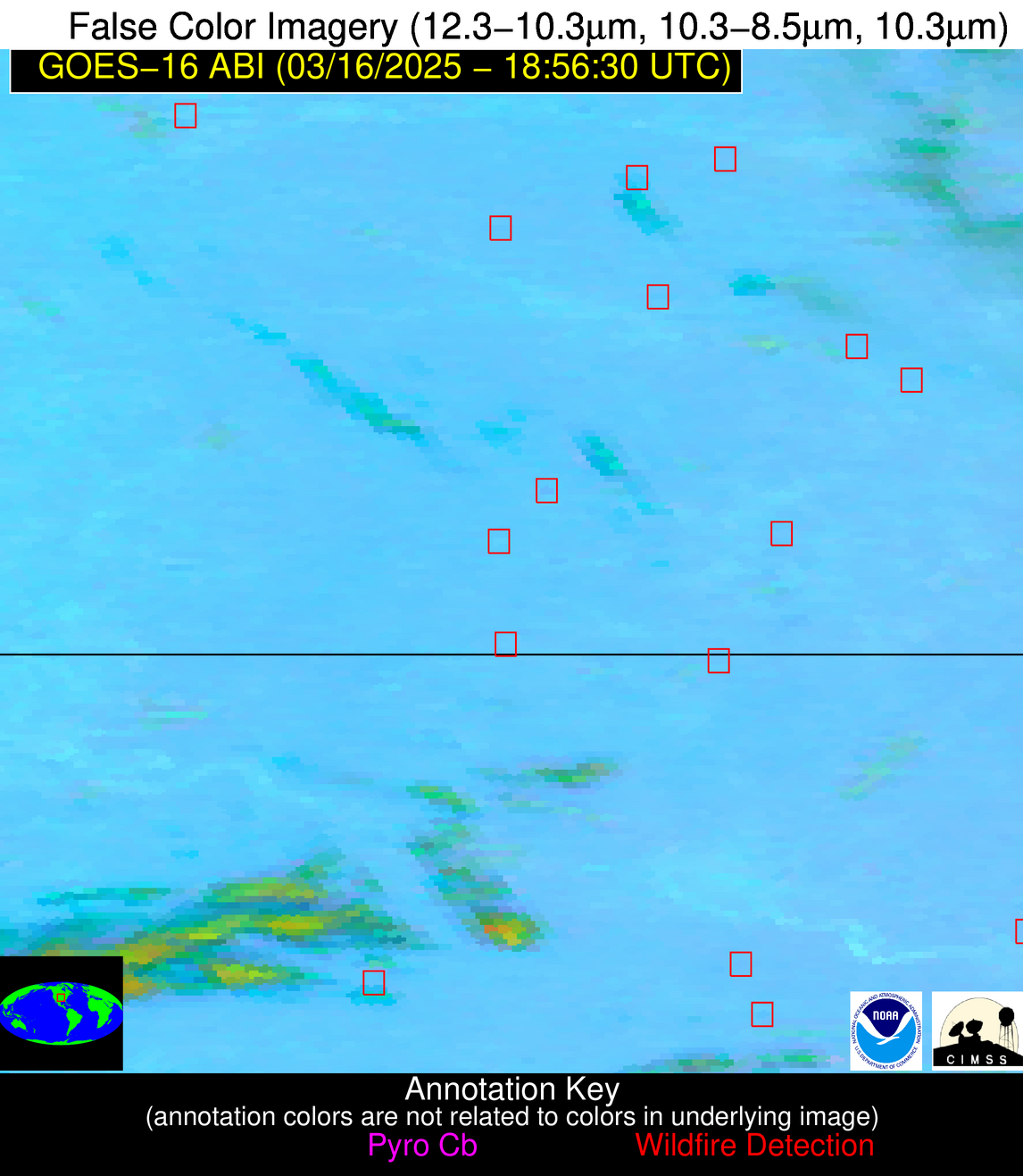
10 Jan 2026: Notice to users: ongoing data center construction may unexpectedly interrupt NGFS product generation.
Wildfire Alert Report
| Date: | 2025-03-16 |
|---|---|
| Time: | 18:56:15 |
| Production Date and Time: | 2025-03-16 19:01:01 UTC |
| Primary Instrument: | GOES-16 ABI |
| Wmo Spacecraft Id: | 152 |
| Location/orbit: | GEO |
| L1 File: | OR_ABI-L1b-RadC-M6C14_G16_s20250751856156_e20250751858529_c20250751859019.nc |
| L1 File(s) - Temporal | OR_ABI-L1b-RadC-M6C14_G16_s20250751851156_e20250751853529_c20250751854026.nc |
| Number Of Thermal Anomaly Alerts: | 13 |
Possible Wildfire
| Basic Information | |
|---|---|
| State/Province(s) | KS |
| Country/Countries | United States |
| County/Locality(s) | Geary County, KS |
| NWS WFO | Topeka KS |
| Identification Method | Enhanced Contextual (Clear) |
| Mean Object Date/Time | 2025-03-16 18:56:48UTC |
| Radiative Center (Lat, Lon): | 39.168610°, -96.853333° |
| Nearby Counties (meeting alert criteria): |
|
| Total Radiative Power Anomaly | n/a |
| Total Radiative Power | 15.40 MW |
| Map: | |
| Additional Information | |
| Alert Status | New Feature |
| Type of Event | Nominal Risk |
| Event Priority Ranking | 4 |
| Maximum Observed BT (3.9 um) | 306.91 K |
| Observed - Background BT (3.9 um) | 4.28 K |
| BT Anomaly (3.9 um) | 2.89 K |
| Maximum Observed - Clear RTM BT (3.9 um) | 19.92 K |
| Maximum Observed BTD (3.9-10/11/12 um) | 13.35 K |
| Observed - Background BTD (3.9-10/11/12 um) | 3.74 K |
| BTD Anomaly (3.9-10/11/12 um) | 10.37 K |
| Similar Pixel Count | 21 |
| BT Time Tendency (3.9 um) | 2.00 K |
| Image Interval | 5.00 minutes |
| Fraction of Surrounding LWIR Pixels that are Colder | 0.68 |
| Fraction of Surrounding Red Channel Pixels that are Brighter | 1.00 |
| Maximum Radiative Power | 15.40 MW |
| Maximum Radiative Power Uncertainty | 0.00 MW |
| Total Radiative Power Uncertainty | 0.00 MW |
| Mean Viewing Angle | 50.80° |
| Mean Solar Zenith Angle | 41.60° |
| Mean Glint Angle | 85.70° |
| Water Fraction | 0.00 |
| Total Pixel Area | 6.30 km2 |
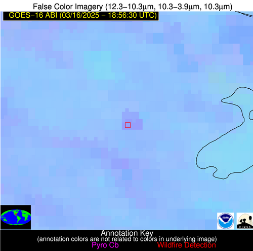
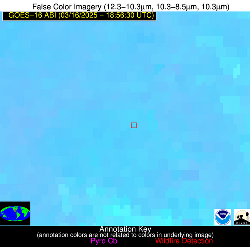
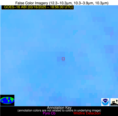
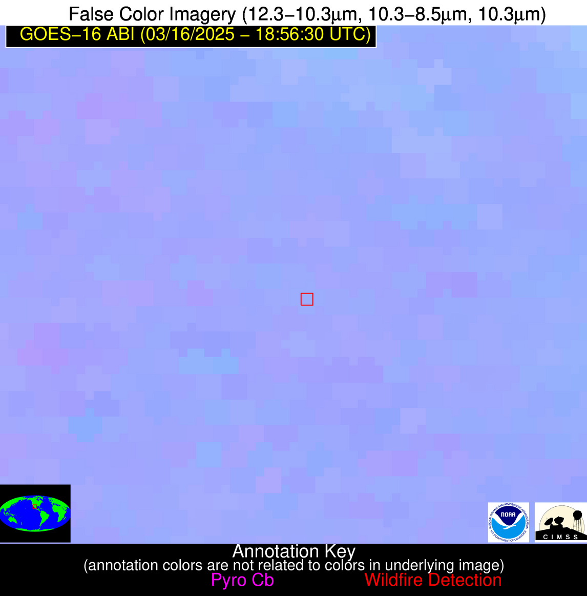
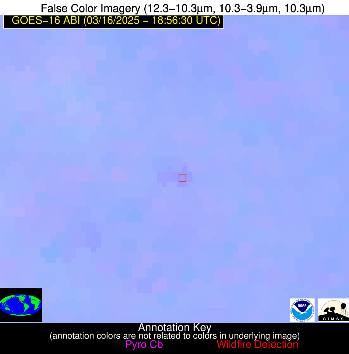
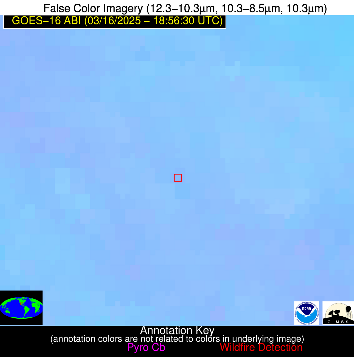
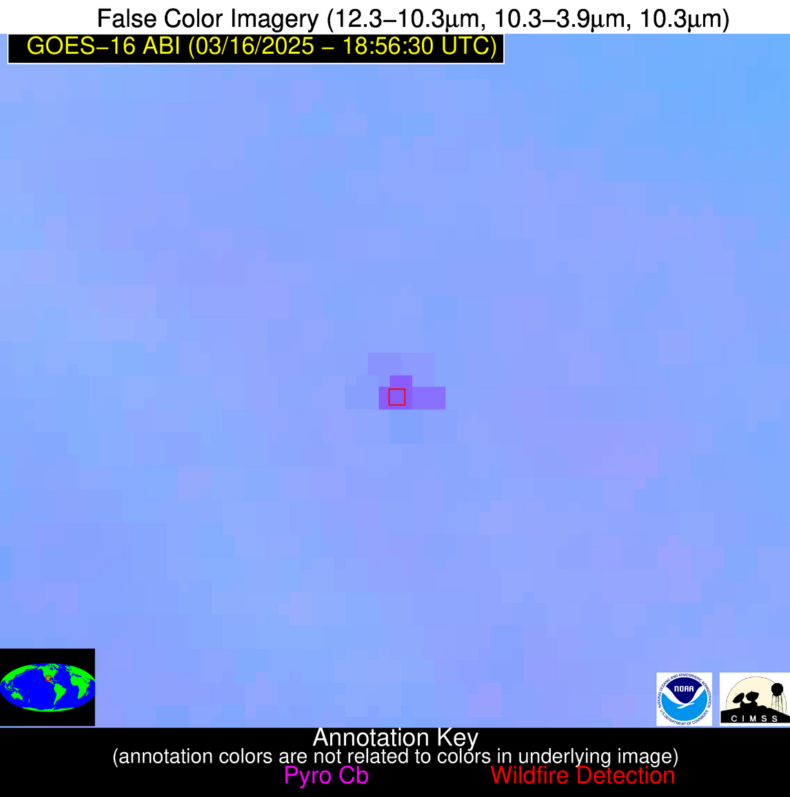
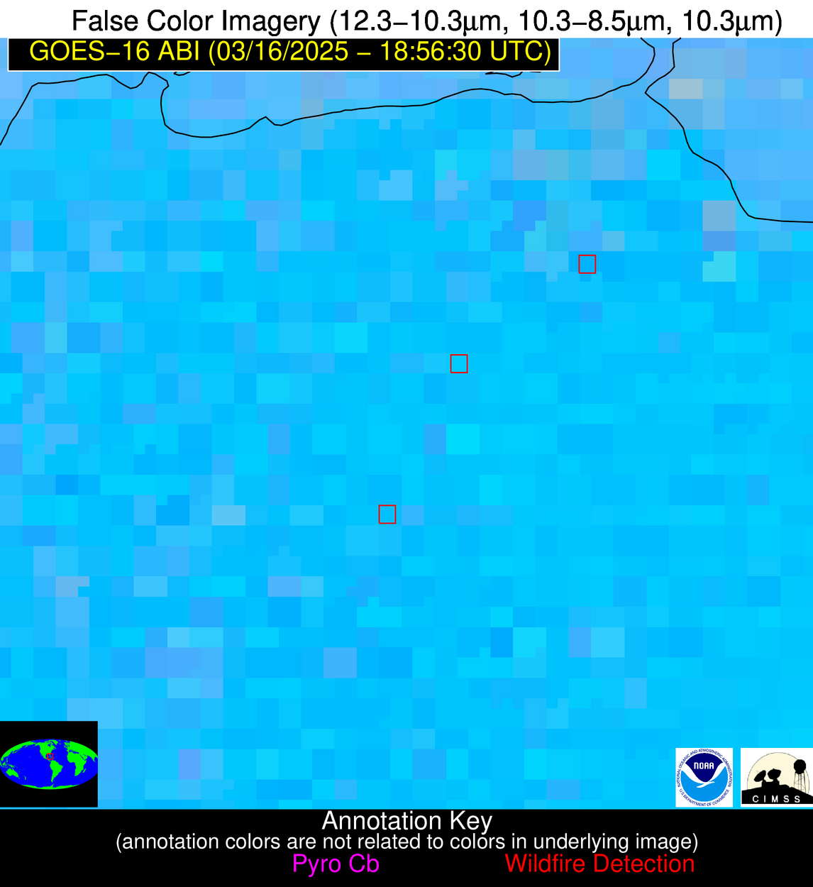
| Latest Satellite Imagery: | |
| View all event imagery » | |
Possible Wildfire
| Basic Information | |
|---|---|
| State/Province(s) | KS |
| Country/Countries | United States |
| County/Locality(s) | Lyon County, KS |
| NWS WFO | Topeka KS |
| Identification Method | Enhanced Contextual (Cloud) |
| Mean Object Date/Time | 2025-03-16 18:56:48UTC |
| Radiative Center (Lat, Lon): | 38.439445°, -96.000000° |
| Nearby Counties (meeting alert criteria): |
|
| Total Radiative Power Anomaly | n/a |
| Total Radiative Power | 75.70 MW |
| Map: | |
| Additional Information | |
| Alert Status | New Feature |
| Type of Event | Nominal Risk |
| Event Priority Ranking | 4 |
| Maximum Observed BT (3.9 um) | 313.39 K |
| Observed - Background BT (3.9 um) | 11.92 K |
| BT Anomaly (3.9 um) | 9.00 K |
| Maximum Observed - Clear RTM BT (3.9 um) | 27.49 K |
| Maximum Observed BTD (3.9-10/11/12 um) | 21.17 K |
| Observed - Background BTD (3.9-10/11/12 um) | 11.59 K |
| BTD Anomaly (3.9-10/11/12 um) | 26.17 K |
| Similar Pixel Count | 0 |
| BT Time Tendency (3.9 um) | 11.50 K |
| Image Interval | 5.00 minutes |
| Fraction of Surrounding LWIR Pixels that are Colder | 0.69 |
| Fraction of Surrounding Red Channel Pixels that are Brighter | 0.99 |
| Maximum Radiative Power | 47.85 MW |
| Maximum Radiative Power Uncertainty | 0.00 MW |
| Total Radiative Power Uncertainty | 0.00 MW |
| Mean Viewing Angle | 49.70° |
| Mean Solar Zenith Angle | 41.00° |
| Mean Glint Angle | 84.00° |
| Water Fraction | 0.00 |
| Total Pixel Area | 12.40 km2 |
| Latest Satellite Imagery: | |
| View all event imagery » | |
Possible Wildfire
| Basic Information | |
|---|---|
| State/Province(s) | KS |
| Country/Countries | United States |
| County/Locality(s) | Coffey County, KS |
| NWS WFO | Topeka KS |
| Identification Method | Enhanced Contextual (Clear) |
| Mean Object Date/Time | 2025-03-16 18:56:48UTC |
| Radiative Center (Lat, Lon): | 38.240002°, -95.640831° |
| Nearby Counties (meeting alert criteria): |
|
| Total Radiative Power Anomaly | n/a |
| Total Radiative Power | 38.40 MW |
| Map: | |
| Additional Information | |
| Alert Status | New Feature |
| Type of Event | Nominal Risk |
| Event Priority Ranking | 4 |
| Maximum Observed BT (3.9 um) | 305.71 K |
| Observed - Background BT (3.9 um) | 5.29 K |
| BT Anomaly (3.9 um) | 4.18 K |
| Maximum Observed - Clear RTM BT (3.9 um) | 20.62 K |
| Maximum Observed BTD (3.9-10/11/12 um) | 15.18 K |
| Observed - Background BTD (3.9-10/11/12 um) | 5.38 K |
| BTD Anomaly (3.9-10/11/12 um) | 6.76 K |
| Similar Pixel Count | 4 |
| BT Time Tendency (3.9 um) | 4.40 K |
| Image Interval | 5.00 minutes |
| Fraction of Surrounding LWIR Pixels that are Colder | 0.50 |
| Fraction of Surrounding Red Channel Pixels that are Brighter | 0.99 |
| Maximum Radiative Power | 20.11 MW |
| Maximum Radiative Power Uncertainty | 0.00 MW |
| Total Radiative Power Uncertainty | 0.00 MW |
| Mean Viewing Angle | 49.40° |
| Mean Solar Zenith Angle | 40.90° |
| Mean Glint Angle | 83.50° |
| Water Fraction | 0.00 |
| Total Pixel Area | 12.30 km2 |
| Latest Satellite Imagery: | |
| View all event imagery » | |
Possible Wildfire
| Basic Information | |
|---|---|
| State/Province(s) | OK |
| Country/Countries | United States |
| County/Locality(s) | Washington County, OK |
| NWS WFO | Tulsa OK |
| Identification Method | Enhanced Contextual (Clear) |
| Mean Object Date/Time | 2025-03-16 18:56:48UTC |
| Radiative Center (Lat, Lon): | 36.974998°, -95.890274° |
| Nearby Counties (meeting alert criteria): |
|
| Total Radiative Power Anomaly | n/a |
| Total Radiative Power | 20.77 MW |
| Map: | |
| Additional Information | |
| Alert Status | New Feature |
| Type of Event | Nominal Risk |
| Event Priority Ranking | 4 |
| Maximum Observed BT (3.9 um) | 304.90 K |
| Observed - Background BT (3.9 um) | 3.79 K |
| BT Anomaly (3.9 um) | 4.71 K |
| Maximum Observed - Clear RTM BT (3.9 um) | 18.02 K |
| Maximum Observed BTD (3.9-10/11/12 um) | 12.20 K |
| Observed - Background BTD (3.9-10/11/12 um) | 3.41 K |
| BTD Anomaly (3.9-10/11/12 um) | 9.54 K |
| Similar Pixel Count | 23 |
| BT Time Tendency (3.9 um) | 2.90 K |
| Image Interval | 5.00 minutes |
| Fraction of Surrounding LWIR Pixels that are Colder | 0.71 |
| Fraction of Surrounding Red Channel Pixels that are Brighter | 1.00 |
| Maximum Radiative Power | 11.70 MW |
| Maximum Radiative Power Uncertainty | 0.00 MW |
| Total Radiative Power Uncertainty | 0.00 MW |
| Mean Viewing Angle | 48.30° |
| Mean Solar Zenith Angle | 39.60° |
| Mean Glint Angle | 81.00° |
| Water Fraction | 0.00 |
| Total Pixel Area | 12.00 km2 |
| Latest Satellite Imagery: | |
| View all event imagery » | |
Possible Wildfire
| Basic Information | |
|---|---|
| State/Province(s) | OK |
| Country/Countries | United States |
| County/Locality(s) | Okmulgee County, OK |
| NWS WFO | Tulsa OK |
| Identification Method | Enhanced Contextual (Clear) |
| Mean Object Date/Time | 2025-03-16 18:57:18UTC |
| Radiative Center (Lat, Lon): | 35.551945°, -95.811668° |
| Nearby Counties (meeting alert criteria): |
|
| Total Radiative Power Anomaly | n/a |
| Total Radiative Power | 20.09 MW |
| Map: | |
| Additional Information | |
| Alert Status | New Feature |
| Type of Event | Nominal Risk |
| Event Priority Ranking | 4 |
| Maximum Observed BT (3.9 um) | 307.57 K |
| Observed - Background BT (3.9 um) | 6.66 K |
| BT Anomaly (3.9 um) | 7.30 K |
| Maximum Observed - Clear RTM BT (3.9 um) | 20.71 K |
| Maximum Observed BTD (3.9-10/11/12 um) | 14.30 K |
| Observed - Background BTD (3.9-10/11/12 um) | 5.90 K |
| BTD Anomaly (3.9-10/11/12 um) | 17.01 K |
| Similar Pixel Count | 2 |
| BT Time Tendency (3.9 um) | 4.70 K |
| Image Interval | 5.00 minutes |
| Fraction of Surrounding LWIR Pixels that are Colder | 0.94 |
| Fraction of Surrounding Red Channel Pixels that are Brighter | 1.00 |
| Maximum Radiative Power | 20.09 MW |
| Maximum Radiative Power Uncertainty | 0.00 MW |
| Total Radiative Power Uncertainty | 0.00 MW |
| Mean Viewing Angle | 46.90° |
| Mean Solar Zenith Angle | 38.20° |
| Mean Glint Angle | 78.20° |
| Water Fraction | 0.00 |
| Total Pixel Area | 5.90 km2 |
| Latest Satellite Imagery: | |
| View all event imagery » | |
Possible Wildfire
| Basic Information | |
|---|---|
| State/Province(s) | LA |
| Country/Countries | United States |
| County/Locality(s) | Calcasieu Parish, LA |
| NWS WFO | Lake Charles LA |
| Identification Method | Enhanced Contextual (Clear) |
| Mean Object Date/Time | 2025-03-16 18:57:48UTC |
| Radiative Center (Lat, Lon): | 30.114445°, -93.591942° |
| Nearby Counties (meeting alert criteria): |
|
| Total Radiative Power Anomaly | n/a |
| Total Radiative Power | 8.62 MW |
| Map: | |
| Additional Information | |
| Alert Status | New Feature |
| Type of Event | Nominal Risk |
| Event Priority Ranking | 4 |
| Maximum Observed BT (3.9 um) | 302.28 K |
| Observed - Background BT (3.9 um) | 2.77 K |
| BT Anomaly (3.9 um) | 1.58 K |
| Maximum Observed - Clear RTM BT (3.9 um) | 10.26 K |
| Maximum Observed BTD (3.9-10/11/12 um) | 8.19 K |
| Observed - Background BTD (3.9-10/11/12 um) | 2.62 K |
| BTD Anomaly (3.9-10/11/12 um) | 3.69 K |
| Similar Pixel Count | 18 |
| BT Time Tendency (3.9 um) | 0.60 K |
| Image Interval | 5.00 minutes |
| Fraction of Surrounding LWIR Pixels that are Colder | 0.62 |
| Fraction of Surrounding Red Channel Pixels that are Brighter | 1.00 |
| Maximum Radiative Power | 8.62 MW |
| Maximum Radiative Power Uncertainty | 0.00 MW |
| Total Radiative Power Uncertainty | 0.00 MW |
| Mean Viewing Angle | 40.60° |
| Mean Solar Zenith Angle | 33.30° |
| Mean Glint Angle | 66.50° |
| Water Fraction | 0.00 |
| Total Pixel Area | 5.30 km2 |
| Latest Satellite Imagery: | |
| View all event imagery » | |
Possible Wildfire
| Basic Information | |
|---|---|
| State/Province(s) | LA |
| Country/Countries | United States |
| County/Locality(s) | Lafourche Parish, LA |
| NWS WFO | New Orleans LA |
| Identification Method | Enhanced Contextual (Clear) |
| Mean Object Date/Time | 2025-03-16 18:57:49UTC |
| Radiative Center (Lat, Lon): | 29.782499°, -90.512222° |
| Nearby Counties (meeting alert criteria): |
|
| Total Radiative Power Anomaly | n/a |
| Total Radiative Power | 26.80 MW |
| Map: | |
| Additional Information | |
| Alert Status | New Feature |
| Type of Event | Nominal Risk |
| Event Priority Ranking | 4 |
| Maximum Observed BT (3.9 um) | 302.47 K |
| Observed - Background BT (3.9 um) | 4.51 K |
| BT Anomaly (3.9 um) | 2.48 K |
| Maximum Observed - Clear RTM BT (3.9 um) | 11.96 K |
| Maximum Observed BTD (3.9-10/11/12 um) | 9.36 K |
| Observed - Background BTD (3.9-10/11/12 um) | 4.68 K |
| BTD Anomaly (3.9-10/11/12 um) | 5.46 K |
| Similar Pixel Count | 4 |
| BT Time Tendency (3.9 um) | 5.00 K |
| Image Interval | 5.00 minutes |
| Fraction of Surrounding LWIR Pixels that are Colder | 0.46 |
| Fraction of Surrounding Red Channel Pixels that are Brighter | 1.00 |
| Maximum Radiative Power | 13.59 MW |
| Maximum Radiative Power Uncertainty | 0.00 MW |
| Total Radiative Power Uncertainty | 0.00 MW |
| Mean Viewing Angle | 38.70° |
| Mean Solar Zenith Angle | 33.80° |
| Mean Glint Angle | 65.00° |
| Water Fraction | 0.00 |
| Total Pixel Area | 10.20 km2 |
| Latest Satellite Imagery: | |
| View all event imagery » | |
Possible Wildfire
| Basic Information | |
|---|---|
| State/Province(s) | TX |
| Country/Countries | United States |
| County/Locality(s) | Austin County, TX |
| NWS WFO | Houston/Galveston TX |
| Identification Method | Enhanced Contextual (Clear) |
| Mean Object Date/Time | 2025-03-16 18:57:48UTC |
| Radiative Center (Lat, Lon): | 29.807222°, -96.205002° |
| Nearby Counties (meeting alert criteria): |
|
| Total Radiative Power Anomaly | n/a |
| Total Radiative Power | 22.76 MW |
| Map: | |
| Additional Information | |
| Alert Status | New Feature |
| Type of Event | Nominal Risk |
| Event Priority Ranking | 4 |
| Maximum Observed BT (3.9 um) | 311.45 K |
| Observed - Background BT (3.9 um) | 4.40 K |
| BT Anomaly (3.9 um) | 3.01 K |
| Maximum Observed - Clear RTM BT (3.9 um) | 19.50 K |
| Maximum Observed BTD (3.9-10/11/12 um) | 11.19 K |
| Observed - Background BTD (3.9-10/11/12 um) | 3.66 K |
| BTD Anomaly (3.9-10/11/12 um) | 7.01 K |
| Similar Pixel Count | 24 |
| BT Time Tendency (3.9 um) | 2.70 K |
| Image Interval | 5.00 minutes |
| Fraction of Surrounding LWIR Pixels that are Colder | 0.78 |
| Fraction of Surrounding Red Channel Pixels that are Brighter | 1.00 |
| Maximum Radiative Power | 12.17 MW |
| Maximum Radiative Power Uncertainty | 0.00 MW |
| Total Radiative Power Uncertainty | 0.00 MW |
| Mean Viewing Angle | 41.80° |
| Mean Solar Zenith Angle | 32.50° |
| Mean Glint Angle | 67.00° |
| Water Fraction | 0.00 |
| Total Pixel Area | 10.70 km2 |
| Latest Satellite Imagery: | |
| View all event imagery » | |
Possible Wildfire
| Basic Information | |
|---|---|
| State/Province(s) | Chihuahua |
| Country/Countries | Mexico |
| County/Locality(s) | Guerrero, Chihuahua |
| NWS WFO | N/A |
| Identification Method | Enhanced Contextual (Clear) |
| Mean Object Date/Time | 2025-03-16 18:57:46UTC |
| Radiative Center (Lat, Lon): | 28.068333°, -107.453056° |
| Nearby Counties (meeting alert criteria): |
|
| Total Radiative Power Anomaly | n/a |
| Total Radiative Power | 8.89 MW |
| Map: | |
| Additional Information | |
| Alert Status | New Feature |
| Type of Event | Nominal Risk |
| Event Priority Ranking | 4 |
| Maximum Observed BT (3.9 um) | 313.69 K |
| Observed - Background BT (3.9 um) | 2.83 K |
| BT Anomaly (3.9 um) | 1.94 K |
| Maximum Observed - Clear RTM BT (3.9 um) | 17.99 K |
| Maximum Observed BTD (3.9-10/11/12 um) | 9.42 K |
| Observed - Background BTD (3.9-10/11/12 um) | 2.26 K |
| BTD Anomaly (3.9-10/11/12 um) | 6.55 K |
| Similar Pixel Count | 25 |
| BT Time Tendency (3.9 um) | 0.80 K |
| Image Interval | 5.00 minutes |
| Fraction of Surrounding LWIR Pixels that are Colder | 0.69 |
| Fraction of Surrounding Red Channel Pixels that are Brighter | 0.81 |
| Maximum Radiative Power | 8.89 MW |
| Maximum Radiative Power Uncertainty | 0.00 MW |
| Total Radiative Power Uncertainty | 0.00 MW |
| Mean Viewing Angle | 48.40° |
| Mean Solar Zenith Angle | 30.80° |
| Mean Glint Angle | 73.30° |
| Water Fraction | 0.00 |
| Total Pixel Area | 6.00 km2 |
| Latest Satellite Imagery: | |
| View all event imagery » | |
Possible Wildfire
| Basic Information | |
|---|---|
| State/Province(s) | Coahuila de Zaragoza |
| Country/Countries | Mexico |
| County/Locality(s) | Progreso, Coahuila de Zaragoza |
| NWS WFO | N/A |
| Identification Method | Enhanced Contextual (Cloud) |
| Mean Object Date/Time | 2025-03-16 18:57:47UTC |
| Radiative Center (Lat, Lon): | 27.450834°, -101.266388° |
| Nearby Counties (meeting alert criteria): |
|
| Total Radiative Power Anomaly | n/a |
| Total Radiative Power | 102.32 MW |
| Map: | |
| Additional Information | |
| Alert Status | New Feature |
| Type of Event | Nominal Risk |
| Event Priority Ranking | 4 |
| Maximum Observed BT (3.9 um) | 328.50 K |
| Observed - Background BT (3.9 um) | 10.53 K |
| BT Anomaly (3.9 um) | 8.42 K |
| Maximum Observed - Clear RTM BT (3.9 um) | 18.74 K |
| Maximum Observed BTD (3.9-10/11/12 um) | 18.99 K |
| Observed - Background BTD (3.9-10/11/12 um) | 10.49 K |
| BTD Anomaly (3.9-10/11/12 um) | 30.33 K |
| Similar Pixel Count | 0 |
| BT Time Tendency (3.9 um) | 9.90 K |
| Image Interval | 5.00 minutes |
| Fraction of Surrounding LWIR Pixels that are Colder | 0.55 |
| Fraction of Surrounding Red Channel Pixels that are Brighter | 0.98 |
| Maximum Radiative Power | 61.15 MW |
| Maximum Radiative Power Uncertainty | 0.00 MW |
| Total Radiative Power Uncertainty | 0.00 MW |
| Mean Viewing Angle | 43.20° |
| Mean Solar Zenith Angle | 29.70° |
| Mean Glint Angle | 66.00° |
| Water Fraction | 0.00 |
| Total Pixel Area | 11.00 km2 |
| Latest Satellite Imagery: | |
| View all event imagery » | |
Possible Wildfire
| Basic Information | |
|---|---|
| State/Province(s) | Unknown |
| Country/Countries | Cuba |
| County/Locality(s) | Unknown, Unknown |
| NWS WFO | N/A |
| Identification Method | Enhanced Contextual (Clear) |
| Mean Object Date/Time | 2025-03-16 18:58:20UTC |
| Radiative Center (Lat, Lon): | 22.869444°, -80.760277° |
| Nearby Counties (meeting alert criteria): |
|
| Total Radiative Power Anomaly | n/a |
| Total Radiative Power | 18.05 MW |
| Map: | |
| Additional Information | |
| Alert Status | New Feature |
| Type of Event | Nominal Risk |
| Event Priority Ranking | 4 |
| Maximum Observed BT (3.9 um) | 314.04 K |
| Observed - Background BT (3.9 um) | 4.63 K |
| BT Anomaly (3.9 um) | 2.52 K |
| Maximum Observed - Clear RTM BT (3.9 um) | 6.61 K |
| Maximum Observed BTD (3.9-10/11/12 um) | 18.23 K |
| Observed - Background BTD (3.9-10/11/12 um) | 4.19 K |
| BTD Anomaly (3.9-10/11/12 um) | 2.31 K |
| Similar Pixel Count | 25 |
| BT Time Tendency (3.9 um) | 2.70 K |
| Image Interval | 5.00 minutes |
| Fraction of Surrounding LWIR Pixels that are Colder | 0.77 |
| Fraction of Surrounding Red Channel Pixels that are Brighter | 0.99 |
| Maximum Radiative Power | 18.05 MW |
| Maximum Radiative Power Uncertainty | 0.00 MW |
| Total Radiative Power Uncertainty | 0.00 MW |
| Mean Viewing Angle | 27.60° |
| Mean Solar Zenith Angle | 32.40° |
| Mean Glint Angle | 52.50° |
| Water Fraction | 0.00 |
| Total Pixel Area | 4.50 km2 |
| Latest Satellite Imagery: | |
| View all event imagery » | |
Possible Wildfire
| Basic Information | |
|---|---|
| State/Province(s) | Unknown |
| Country/Countries | Cuba |
| County/Locality(s) | Unknown, Unknown |
| NWS WFO | N/A |
| Identification Method | Enhanced Contextual (Clear) |
| Mean Object Date/Time | 2025-03-16 18:58:20UTC |
| Radiative Center (Lat, Lon): | 22.745832°, -80.813889° |
| Nearby Counties (meeting alert criteria): |
|
| Total Radiative Power Anomaly | n/a |
| Total Radiative Power | 24.51 MW |
| Map: | |
| Additional Information | |
| Alert Status | New Feature |
| Type of Event | Nominal Risk |
| Event Priority Ranking | 4 |
| Maximum Observed BT (3.9 um) | 315.58 K |
| Observed - Background BT (3.9 um) | 5.76 K |
| BT Anomaly (3.9 um) | 3.71 K |
| Maximum Observed - Clear RTM BT (3.9 um) | 8.76 K |
| Maximum Observed BTD (3.9-10/11/12 um) | 19.50 K |
| Observed - Background BTD (3.9-10/11/12 um) | 5.10 K |
| BTD Anomaly (3.9-10/11/12 um) | 3.39 K |
| Similar Pixel Count | 23 |
| BT Time Tendency (3.9 um) | 0.90 K |
| Image Interval | 5.00 minutes |
| Fraction of Surrounding LWIR Pixels that are Colder | 0.81 |
| Fraction of Surrounding Red Channel Pixels that are Brighter | 1.00 |
| Maximum Radiative Power | 24.51 MW |
| Maximum Radiative Power Uncertainty | 0.00 MW |
| Total Radiative Power Uncertainty | 0.00 MW |
| Mean Viewing Angle | 27.50° |
| Mean Solar Zenith Angle | 32.30° |
| Mean Glint Angle | 52.20° |
| Water Fraction | 0.00 |
| Total Pixel Area | 4.50 km2 |
| Latest Satellite Imagery: | |
| View all event imagery » | |
Possible Wildfire
| Basic Information | |
|---|---|
| State/Province(s) | Unknown |
| Country/Countries | Dominican Republic |
| County/Locality(s) | Unknown, Unknown |
| NWS WFO | N/A |
| Identification Method | Enhanced Contextual (Clear) |
| Mean Object Date/Time | 2025-03-16 18:58:51UTC |
| Radiative Center (Lat, Lon): | 19.196667°, -71.479721° |
| Nearby Counties (meeting alert criteria): |
|
| Total Radiative Power Anomaly | n/a |
| Total Radiative Power | 45.91 MW |
| Map: | |
| Additional Information | |
| Alert Status | New Feature |
| Type of Event | Nominal Risk |
| Event Priority Ranking | 4 |
| Maximum Observed BT (3.9 um) | 313.91 K |
| Observed - Background BT (3.9 um) | 8.89 K |
| BT Anomaly (3.9 um) | 2.85 K |
| Maximum Observed - Clear RTM BT (3.9 um) | 11.56 K |
| Maximum Observed BTD (3.9-10/11/12 um) | 19.88 K |
| Observed - Background BTD (3.9-10/11/12 um) | 8.80 K |
| BTD Anomaly (3.9-10/11/12 um) | 3.06 K |
| Similar Pixel Count | 11 |
| BT Time Tendency (3.9 um) | 5.50 K |
| Image Interval | 5.00 minutes |
| Fraction of Surrounding LWIR Pixels that are Colder | 0.50 |
| Fraction of Surrounding Red Channel Pixels that are Brighter | 0.59 |
| Maximum Radiative Power | 45.91 MW |
| Maximum Radiative Power Uncertainty | 0.00 MW |
| Total Radiative Power Uncertainty | 0.00 MW |
| Mean Viewing Angle | 23.00° |
| Mean Solar Zenith Angle | 36.70° |
| Mean Glint Angle | 54.90° |
| Water Fraction | 0.00 |
| Total Pixel Area | 4.30 km2 |
| Latest Satellite Imagery: | |
| View all event imagery » | |
