Jan 2026: Due to an ongoing data center cooling system construction project, NGFS data outages may occur with little or no notice.
Wildfire Alert Report
| Date: | 2025-03-16 |
|---|---|
| Time: | 15:26:15 |
| Production Date and Time: | 2025-03-16 15:30:57 UTC |
| Primary Instrument: | GOES-16 ABI |
| Wmo Spacecraft Id: | 152 |
| Location/orbit: | GEO |
| L1 File: | OR_ABI-L1b-RadC-M6C14_G16_s20250751526156_e20250751528529_c20250751529021.nc |
| L1 File(s) - Temporal | OR_ABI-L1b-RadC-M6C14_G16_s20250751521156_e20250751523529_c20250751524022.nc |
| Number Of Thermal Anomaly Alerts: | 4 |
Possible Wildfire
| Basic Information | |
|---|---|
| State/Province(s) | OK |
| Country/Countries | United States |
| County/Locality(s) | Latimer County, OK |
| NWS WFO | Tulsa OK |
| Identification Method | Enhanced Contextual (Clear) |
| Mean Object Date/Time | 2025-03-16 15:27:18UTC |
| Radiative Center (Lat, Lon): | 34.889446°, -95.380554° |
| Nearby Counties (meeting alert criteria): |
|
| Total Radiative Power Anomaly | n/a |
| Total Radiative Power | 22.12 MW |
| Map: | |
| Additional Information | |
| Alert Status | New Feature |
| Type of Event | Nominal Risk |
| Event Priority Ranking | 4 |
| Maximum Observed BT (3.9 um) | 295.33 K |
| Observed - Background BT (3.9 um) | 6.81 K |
| BT Anomaly (3.9 um) | 4.97 K |
| Maximum Observed - Clear RTM BT (3.9 um) | 14.67 K |
| Maximum Observed BTD (3.9-10/11/12 um) | 12.02 K |
| Observed - Background BTD (3.9-10/11/12 um) | 5.78 K |
| BTD Anomaly (3.9-10/11/12 um) | 8.85 K |
| Similar Pixel Count | 4 |
| BT Time Tendency (3.9 um) | 4.60 K |
| Image Interval | 5.00 minutes |
| Fraction of Surrounding LWIR Pixels that are Colder | 0.95 |
| Fraction of Surrounding Red Channel Pixels that are Brighter | 0.50 |
| Maximum Radiative Power | 11.72 MW |
| Maximum Radiative Power Uncertainty | 0.00 MW |
| Total Radiative Power Uncertainty | 0.00 MW |
| Mean Viewing Angle | 46.00° |
| Mean Solar Zenith Angle | 56.80° |
| Mean Glint Angle | 99.10° |
| Water Fraction | 0.00 |
| Total Pixel Area | 11.50 km2 |
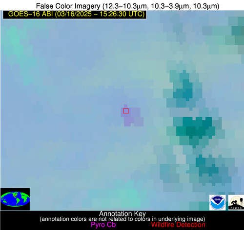
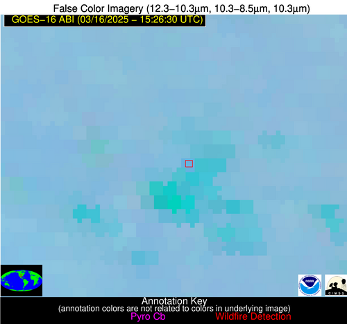
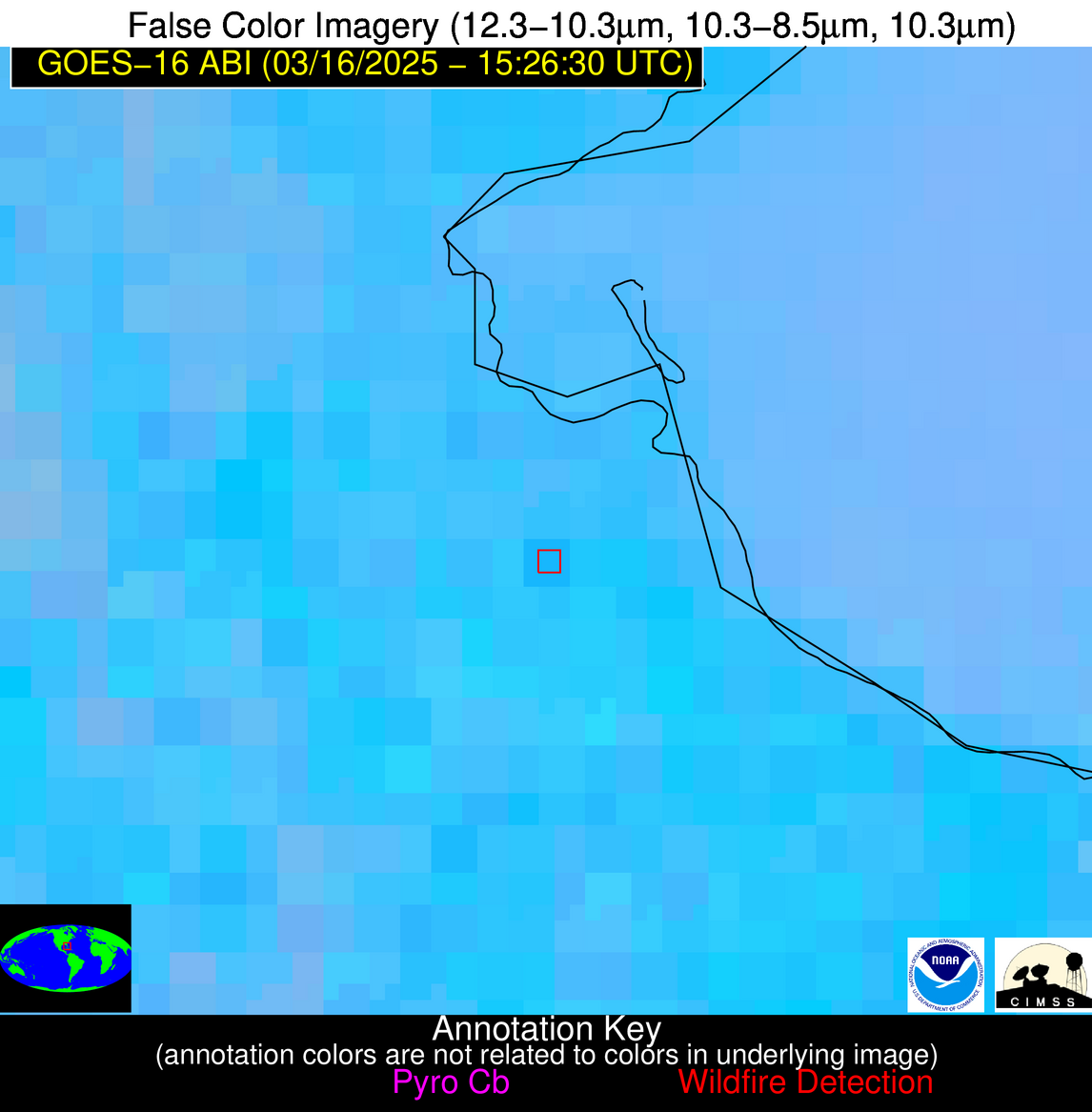
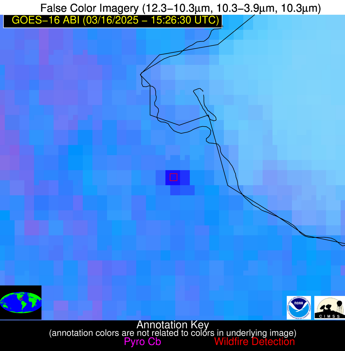
| Latest Satellite Imagery: | |
| View all event imagery » | |
Possible Wildfire
| Basic Information | |
|---|---|
| State/Province(s) | OK |
| Country/Countries | United States |
| County/Locality(s) | Comanche County, OK |
| NWS WFO | Norman OK |
| Identification Method | Enhanced Contextual (Cloud) |
| Mean Object Date/Time | 2025-03-16 15:27:18UTC |
| Radiative Center (Lat, Lon): | 34.798611°, -98.183891° |
| Nearby Counties (meeting alert criteria): |
|
| Total Radiative Power Anomaly | n/a |
| Total Radiative Power | 232.87 MW |
| Map: | |
| Additional Information | |
| Alert Status | New Feature |
| Type of Event | Nominal Risk |
| Event Priority Ranking | 4 |
| Maximum Observed BT (3.9 um) | 331.40 K |
| Observed - Background BT (3.9 um) | 38.34 K |
| BT Anomaly (3.9 um) | 53.63 K |
| Maximum Observed - Clear RTM BT (3.9 um) | 48.18 K |
| Maximum Observed BTD (3.9-10/11/12 um) | 46.80 K |
| Observed - Background BTD (3.9-10/11/12 um) | 37.97 K |
| BTD Anomaly (3.9-10/11/12 um) | 48.22 K |
| Similar Pixel Count | 0 |
| BT Time Tendency (3.9 um) | 36.00 K |
| Image Interval | 5.00 minutes |
| Fraction of Surrounding LWIR Pixels that are Colder | 0.74 |
| Fraction of Surrounding Red Channel Pixels that are Brighter | 1.00 |
| Maximum Radiative Power | 232.87 MW |
| Maximum Radiative Power Uncertainty | 0.00 MW |
| Total Radiative Power Uncertainty | 0.00 MW |
| Mean Viewing Angle | 47.40° |
| Mean Solar Zenith Angle | 58.80° |
| Mean Glint Angle | 102.70° |
| Water Fraction | 0.00 |
| Total Pixel Area | 11.80 km2 |
| Latest Satellite Imagery: | |
| View all event imagery » | |
Possible Wildfire
| Basic Information | |
|---|---|
| State/Province(s) | FL |
| Country/Countries | United States |
| County/Locality(s) | Glades County, FL |
| NWS WFO | Miami FL |
| Identification Method | Enhanced Contextual (Cloud) |
| Mean Object Date/Time | 2025-03-16 15:27:50UTC |
| Radiative Center (Lat, Lon): | 26.796667°, -81.042778° |
| Nearby Counties (meeting alert criteria): |
|
| Total Radiative Power Anomaly | n/a |
| Total Radiative Power | 135.73 MW |
| Map: | |
| Additional Information | |
| Alert Status | New Feature |
| Type of Event | Nominal Risk |
| Event Priority Ranking | 4 |
| Maximum Observed BT (3.9 um) | 325.52 K |
| Observed - Background BT (3.9 um) | 20.36 K |
| BT Anomaly (3.9 um) | 10.03 K |
| Maximum Observed - Clear RTM BT (3.9 um) | 26.31 K |
| Maximum Observed BTD (3.9-10/11/12 um) | 32.79 K |
| Observed - Background BTD (3.9-10/11/12 um) | 19.47 K |
| BTD Anomaly (3.9-10/11/12 um) | 10.32 K |
| Similar Pixel Count | 0 |
| BT Time Tendency (3.9 um) | 19.60 K |
| Image Interval | 5.00 minutes |
| Fraction of Surrounding LWIR Pixels that are Colder | 0.88 |
| Fraction of Surrounding Red Channel Pixels that are Brighter | 0.87 |
| Maximum Radiative Power | 84.03 MW |
| Maximum Radiative Power Uncertainty | 0.00 MW |
| Total Radiative Power Uncertainty | 0.00 MW |
| Mean Viewing Angle | 32.10° |
| Mean Solar Zenith Angle | 42.10° |
| Mean Glint Angle | 69.40° |
| Water Fraction | 0.00 |
| Total Pixel Area | 9.40 km2 |
| Latest Satellite Imagery: | |
| View all event imagery » | |
Possible Wildfire
| Basic Information | |
|---|---|
| State/Province(s) | TX |
| Country/Countries | United States |
| County/Locality(s) | Jim Hogg County, TX |
| NWS WFO | Brownsville TX |
| Identification Method | Enhanced Contextual (Clear) |
| Mean Object Date/Time | 2025-03-16 15:27:47UTC |
| Radiative Center (Lat, Lon): | 26.788610°, -98.543610° |
| Nearby Counties (meeting alert criteria): |
|
| Total Radiative Power Anomaly | n/a |
| Total Radiative Power | 4.96 MW |
| Map: | |
| Additional Information | |
| Alert Status | New Feature |
| Type of Event | Nominal Risk |
| Event Priority Ranking | 4 |
| Maximum Observed BT (3.9 um) | 305.85 K |
| Observed - Background BT (3.9 um) | 2.68 K |
| BT Anomaly (3.9 um) | 4.04 K |
| Maximum Observed - Clear RTM BT (3.9 um) | 11.18 K |
| Maximum Observed BTD (3.9-10/11/12 um) | 9.40 K |
| Observed - Background BTD (3.9-10/11/12 um) | 2.00 K |
| BTD Anomaly (3.9-10/11/12 um) | 5.79 K |
| Similar Pixel Count | 25 |
| BT Time Tendency (3.9 um) | 1.90 K |
| Image Interval | 5.00 minutes |
| Fraction of Surrounding LWIR Pixels that are Colder | 0.98 |
| Fraction of Surrounding Red Channel Pixels that are Brighter | 1.00 |
| Maximum Radiative Power | 4.96 MW |
| Maximum Radiative Power Uncertainty | 0.00 MW |
| Total Radiative Power Uncertainty | 0.00 MW |
| Mean Viewing Angle | 40.70° |
| Mean Solar Zenith Angle | 55.60° |
| Mean Glint Angle | 93.80° |
| Water Fraction | 0.00 |
| Total Pixel Area | 5.30 km2 |
| Latest Satellite Imagery: | |
| View all event imagery » | |

