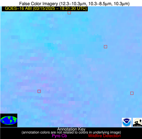
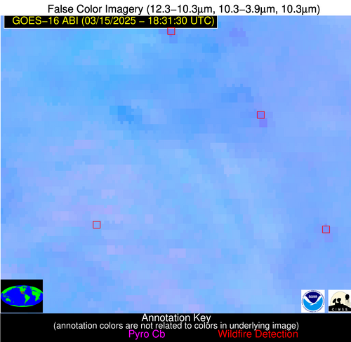
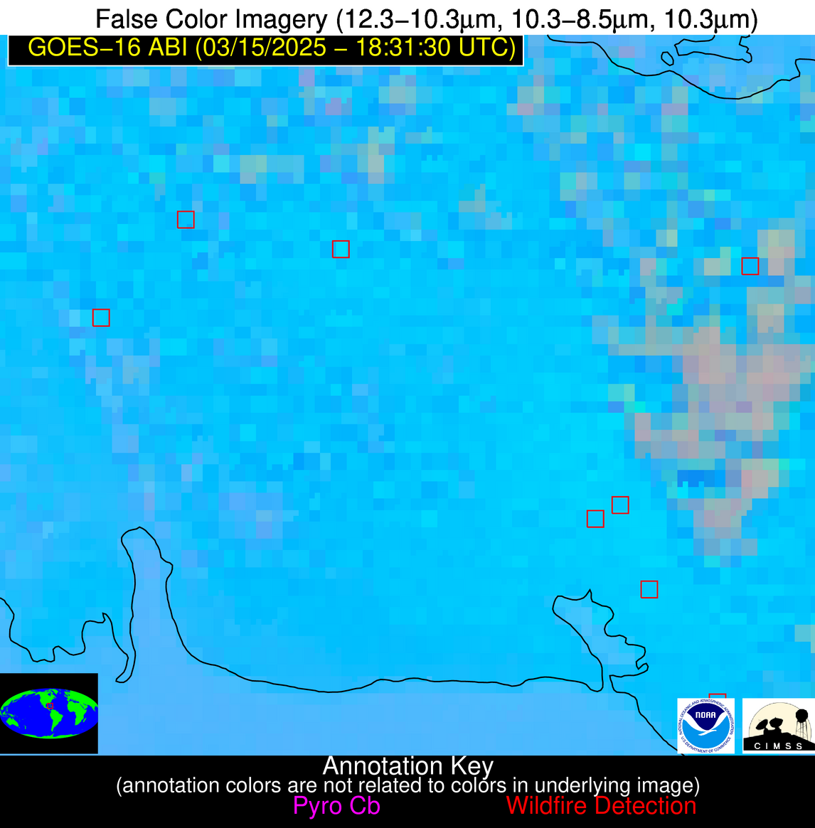
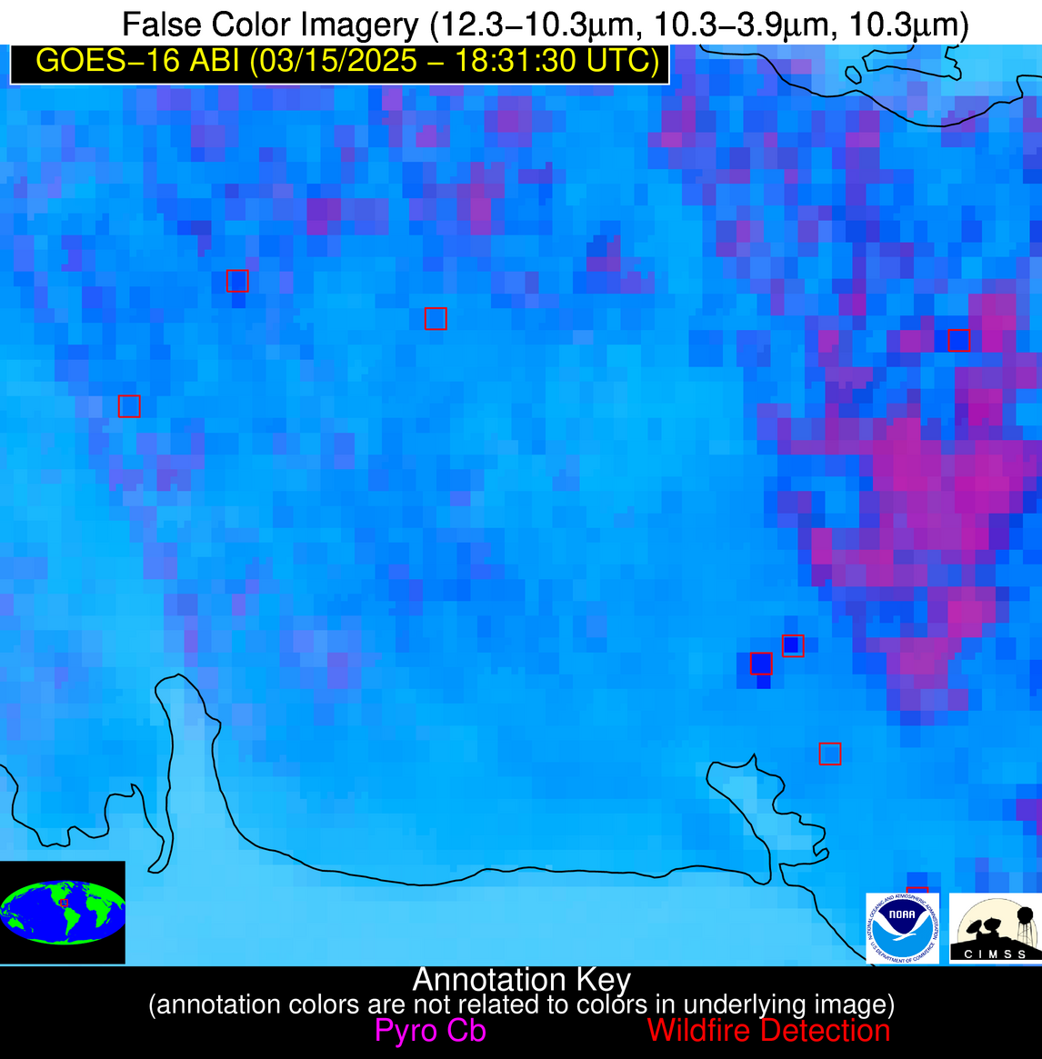
Wildfire Alert Report
| Date: | 2025-03-15 |
|---|---|
| Time: | 18:31:15 |
| Production Date and Time: | 2025-03-15 18:36:04 UTC |
| Primary Instrument: | GOES-16 ABI |
| Wmo Spacecraft Id: | 152 |
| Location/orbit: | GEO |
| L1 File: | OR_ABI-L1b-RadC-M6C14_G16_s20250741831156_e20250741833529_c20250741834012.nc |
| L1 File(s) - Temporal | OR_ABI-L1b-RadC-M6C14_G16_s20250741826156_e20250741828529_c20250741829027.nc |
| Number Of Thermal Anomaly Alerts: | 6 |
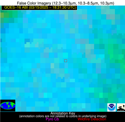
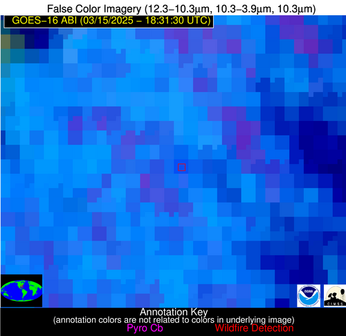
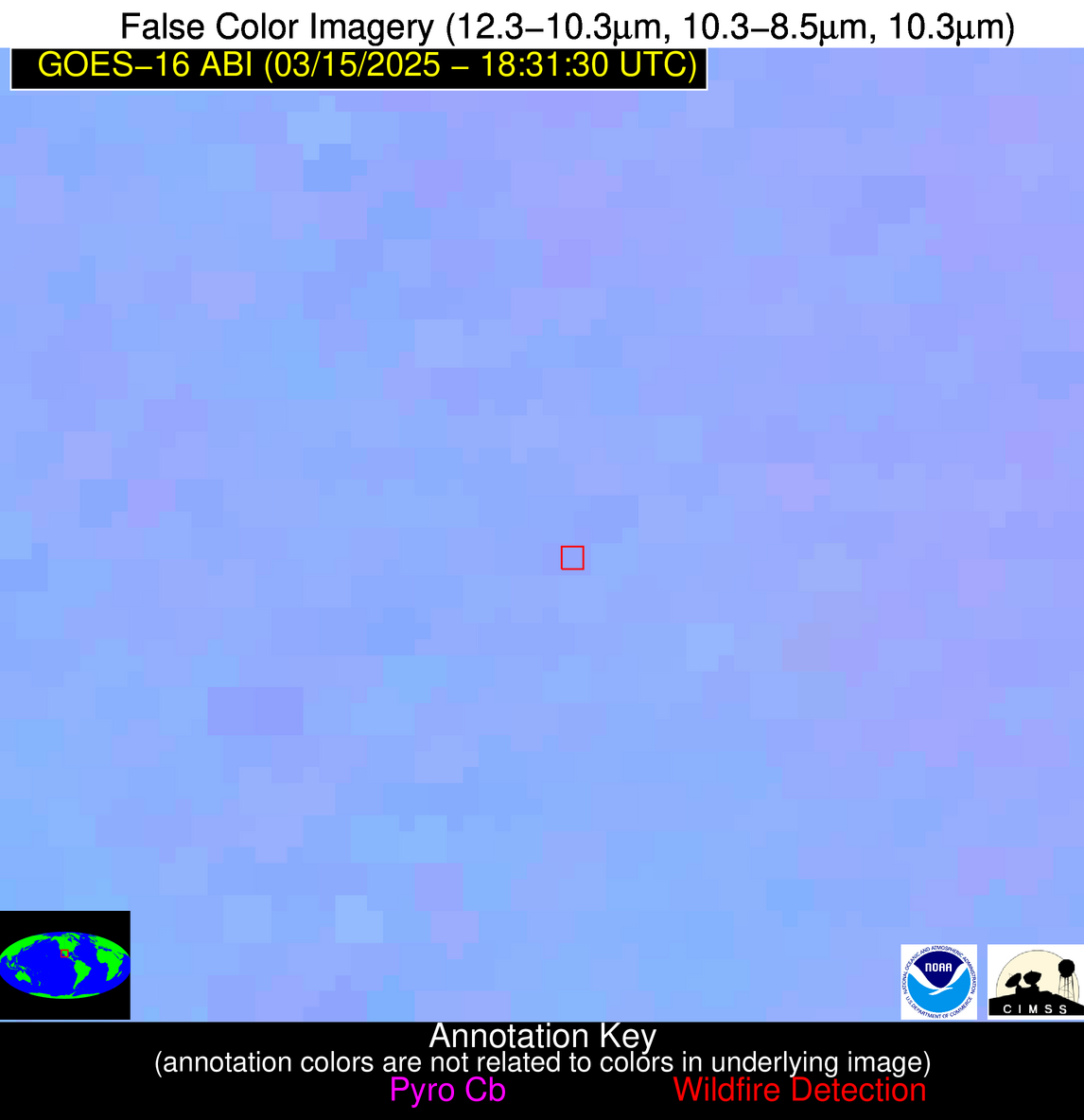
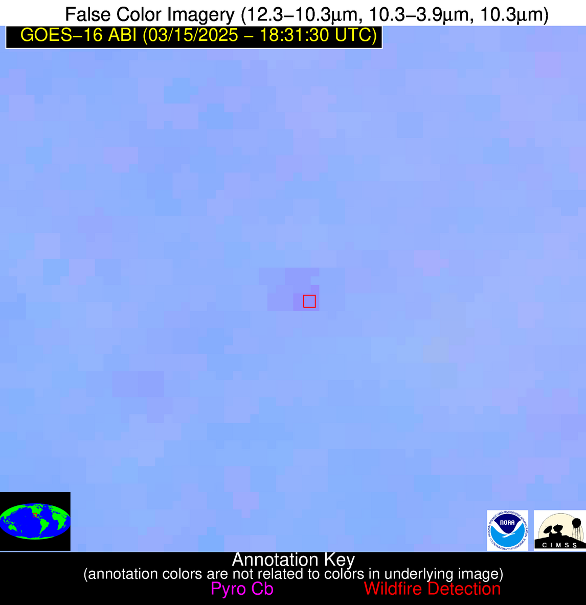
Possible Wildfire
| Basic Information | |
|---|---|
| State/Province(s) | GA |
| Country/Countries | United States |
| County/Locality(s) | Bulloch County, GA |
| NWS WFO | Charleston SC |
| Identification Method | Enhanced Contextual (Cloud) |
| Mean Object Date/Time | 2025-03-15 18:32:20UTC |
| Radiative Center (Lat, Lon): | 32.302776°, -81.929726° |
| Nearby Counties (meeting alert criteria): |
|
| Total Radiative Power Anomaly | n/a |
| Total Radiative Power | 24.60 MW |
| Map: | |
| Additional Information | |
| Alert Status | New Feature |
| Type of Event | Nominal Risk |
| Event Priority Ranking | 4 |
| Maximum Observed BT (3.9 um) | 310.63 K |
| Observed - Background BT (3.9 um) | 5.97 K |
| BT Anomaly (3.9 um) | 7.79 K |
| Maximum Observed - Clear RTM BT (3.9 um) | 13.88 K |
| Maximum Observed BTD (3.9-10/11/12 um) | 23.83 K |
| Observed - Background BTD (3.9-10/11/12 um) | 6.21 K |
| BTD Anomaly (3.9-10/11/12 um) | 3.44 K |
| Similar Pixel Count | 0 |
| BT Time Tendency (3.9 um) | 5.00 K |
| Image Interval | 5.00 minutes |
| Fraction of Surrounding LWIR Pixels that are Colder | 0.58 |
| Fraction of Surrounding Red Channel Pixels that are Brighter | 0.69 |
| Maximum Radiative Power | 24.60 MW |
| Maximum Radiative Power Uncertainty | 0.00 MW |
| Total Radiative Power Uncertainty | 0.00 MW |
| Mean Viewing Angle | 38.40° |
| Mean Solar Zenith Angle | 37.20° |
| Mean Glint Angle | 71.60° |
| Water Fraction | 0.00 |
| Total Pixel Area | 5.10 km2 |
| Latest Satellite Imagery: | |
| View all event imagery » | |
Possible Wildfire
| Basic Information | |
|---|---|
| State/Province(s) | Chihuahua |
| Country/Countries | Mexico |
| County/Locality(s) | Guadalupe y Calvo, Chihuahua |
| NWS WFO | N/A |
| Identification Method | Enhanced Contextual (Cloud) |
| Mean Object Date/Time | 2025-03-15 18:32:46UTC |
| Radiative Center (Lat, Lon): | 26.000834°, -106.551109° |
| Nearby Counties (meeting alert criteria): |
|
| Total Radiative Power Anomaly | n/a |
| Total Radiative Power | 14.22 MW |
| Map: | |
| Additional Information | |
| Alert Status | New Feature |
| Type of Event | Nominal Risk |
| Event Priority Ranking | 4 |
| Maximum Observed BT (3.9 um) | 308.35 K |
| Observed - Background BT (3.9 um) | 4.77 K |
| BT Anomaly (3.9 um) | 3.50 K |
| Maximum Observed - Clear RTM BT (3.9 um) | 18.89 K |
| Maximum Observed BTD (3.9-10/11/12 um) | 11.49 K |
| Observed - Background BTD (3.9-10/11/12 um) | 4.34 K |
| BTD Anomaly (3.9-10/11/12 um) | 11.51 K |
| Similar Pixel Count | 0 |
| BT Time Tendency (3.9 um) | -0.90 K |
| Image Interval | 5.00 minutes |
| Fraction of Surrounding LWIR Pixels that are Colder | 0.69 |
| Fraction of Surrounding Red Channel Pixels that are Brighter | 1.00 |
| Maximum Radiative Power | 14.22 MW |
| Maximum Radiative Power Uncertainty | 0.00 MW |
| Total Radiative Power Uncertainty | 0.00 MW |
| Mean Viewing Angle | 46.30° |
| Mean Solar Zenith Angle | 30.50° |
| Mean Glint Angle | 73.50° |
| Water Fraction | 0.00 |
| Total Pixel Area | 5.80 km2 |
| Latest Satellite Imagery: | |
| View all event imagery » | |
Possible Wildfire
| Basic Information | |
|---|---|
| State/Province(s) | Nuevo León |
| Country/Countries | Mexico |
| County/Locality(s) | Pesquería, Nuevo León |
| NWS WFO | N/A |
| Identification Method | Enhanced Contextual (Clear) |
| Mean Object Date/Time | 2025-03-15 18:32:47UTC |
| Radiative Center (Lat, Lon): | 25.709999°, -100.093613° |
| Nearby Counties (meeting alert criteria): |
|
| Total Radiative Power Anomaly | n/a |
| Total Radiative Power | 53.83 MW |
| Map: | |
| Additional Information | |
| Alert Status | New Feature |
| Type of Event | VIIRS 375m static sources 2013_2018 |
| Event Priority Ranking | 5 |
| Maximum Observed BT (3.9 um) | 321.44 K |
| Observed - Background BT (3.9 um) | 6.35 K |
| BT Anomaly (3.9 um) | 3.95 K |
| Maximum Observed - Clear RTM BT (3.9 um) | 13.64 K |
| Maximum Observed BTD (3.9-10/11/12 um) | 14.49 K |
| Observed - Background BTD (3.9-10/11/12 um) | 5.75 K |
| BTD Anomaly (3.9-10/11/12 um) | 7.39 K |
| Similar Pixel Count | 11 |
| BT Time Tendency (3.9 um) | 4.00 K |
| Image Interval | 5.00 minutes |
| Fraction of Surrounding LWIR Pixels that are Colder | 0.78 |
| Fraction of Surrounding Red Channel Pixels that are Brighter | 0.58 |
| Maximum Radiative Power | 28.07 MW |
| Maximum Radiative Power Uncertainty | 0.00 MW |
| Total Radiative Power Uncertainty | 0.00 MW |
| Mean Viewing Angle | 40.90° |
| Mean Solar Zenith Angle | 28.60° |
| Mean Glint Angle | 65.60° |
| Water Fraction | 0.00 |
| Total Pixel Area | 10.60 km2 |
| Latest Satellite Imagery: | |
| View all event imagery » | |
Possible Wildfire
| Basic Information | |
|---|---|
| State/Province(s) | Coahuila de Zaragoza |
| Country/Countries | Mexico |
| County/Locality(s) | Arteaga, Coahuila de Zaragoza |
| NWS WFO | N/A |
| Identification Method | Enhanced Contextual (Clear) |
| Mean Object Date/Time | 2025-03-15 18:32:47UTC |
| Radiative Center (Lat, Lon): | 25.415277°, -100.596107° |
| Nearby Counties (meeting alert criteria): |
|
| Total Radiative Power Anomaly | n/a |
| Total Radiative Power | 5.97 MW |
| Map: | |
| Additional Information | |
| Alert Status | New Feature |
| Type of Event | Nominal Risk |
| Event Priority Ranking | 4 |
| Maximum Observed BT (3.9 um) | 313.34 K |
| Observed - Background BT (3.9 um) | 4.82 K |
| BT Anomaly (3.9 um) | 2.94 K |
| Maximum Observed - Clear RTM BT (3.9 um) | 14.10 K |
| Maximum Observed BTD (3.9-10/11/12 um) | 8.49 K |
| Observed - Background BTD (3.9-10/11/12 um) | 1.71 K |
| BTD Anomaly (3.9-10/11/12 um) | 3.06 K |
| Similar Pixel Count | 24 |
| BT Time Tendency (3.9 um) | 1.10 K |
| Image Interval | 5.00 minutes |
| Fraction of Surrounding LWIR Pixels that are Colder | 0.61 |
| Fraction of Surrounding Red Channel Pixels that are Brighter | 0.99 |
| Maximum Radiative Power | 5.97 MW |
| Maximum Radiative Power Uncertainty | 0.00 MW |
| Total Radiative Power Uncertainty | 0.00 MW |
| Mean Viewing Angle | 41.10° |
| Mean Solar Zenith Angle | 28.50° |
| Mean Glint Angle | 65.70° |
| Water Fraction | 0.00 |
| Total Pixel Area | 5.30 km2 |
| Latest Satellite Imagery: | |
| View all event imagery » | |
Possible Wildfire
| Basic Information | |
|---|---|
| State/Province(s) | Unknown |
| Country/Countries | Cuba |
| County/Locality(s) | Unknown, Unknown |
| NWS WFO | N/A |
| Identification Method | Enhanced Contextual (Cloud) |
| Mean Object Date/Time | 2025-03-15 18:33:20UTC |
| Radiative Center (Lat, Lon): | 22.727777°, -81.113052° |
| Nearby Counties (meeting alert criteria): |
|
| Total Radiative Power Anomaly | n/a |
| Total Radiative Power | 37.19 MW |
| Map: | |
| Additional Information | |
| Alert Status | New Feature |
| Type of Event | Nominal Risk |
| Event Priority Ranking | 4 |
| Maximum Observed BT (3.9 um) | 321.47 K |
| Observed - Background BT (3.9 um) | 10.03 K |
| BT Anomaly (3.9 um) | 4.70 K |
| Maximum Observed - Clear RTM BT (3.9 um) | 15.05 K |
| Maximum Observed BTD (3.9-10/11/12 um) | 25.79 K |
| Observed - Background BTD (3.9-10/11/12 um) | 10.45 K |
| BTD Anomaly (3.9-10/11/12 um) | 5.33 K |
| Similar Pixel Count | 0 |
| BT Time Tendency (3.9 um) | 5.20 K |
| Image Interval | 5.00 minutes |
| Fraction of Surrounding LWIR Pixels that are Colder | 0.51 |
| Fraction of Surrounding Red Channel Pixels that are Brighter | 0.90 |
| Maximum Radiative Power | 37.19 MW |
| Maximum Radiative Power Uncertainty | 0.00 MW |
| Total Radiative Power Uncertainty | 0.00 MW |
| Mean Viewing Angle | 27.50° |
| Mean Solar Zenith Angle | 29.00° |
| Mean Glint Angle | 51.70° |
| Water Fraction | 0.00 |
| Total Pixel Area | 4.50 km2 |
| Latest Satellite Imagery: | |
| View all event imagery » | |
Possible Wildfire
| Basic Information | |
|---|---|
| State/Province(s) | Unknown |
| Country/Countries | Cuba |
| County/Locality(s) | Unknown, Unknown |
| NWS WFO | N/A |
| Identification Method | Enhanced Contextual (Clear) |
| Mean Object Date/Time | 2025-03-15 18:33:20UTC |
| Radiative Center (Lat, Lon): | 22.189444°, -80.388885° |
| Nearby Counties (meeting alert criteria): |
|
| Total Radiative Power Anomaly | n/a |
| Total Radiative Power | 13.50 MW |
| Map: | |
| Additional Information | |
| Alert Status | New Feature |
| Type of Event | Nominal Risk |
| Event Priority Ranking | 4 |
| Maximum Observed BT (3.9 um) | 317.12 K |
| Observed - Background BT (3.9 um) | 4.51 K |
| BT Anomaly (3.9 um) | 1.41 K |
| Maximum Observed - Clear RTM BT (3.9 um) | 8.90 K |
| Maximum Observed BTD (3.9-10/11/12 um) | 18.83 K |
| Observed - Background BTD (3.9-10/11/12 um) | 4.20 K |
| BTD Anomaly (3.9-10/11/12 um) | 1.79 K |
| Similar Pixel Count | 25 |
| BT Time Tendency (3.9 um) | 1.00 K |
| Image Interval | 5.00 minutes |
| Fraction of Surrounding LWIR Pixels that are Colder | 0.75 |
| Fraction of Surrounding Red Channel Pixels that are Brighter | 0.90 |
| Maximum Radiative Power | 13.50 MW |
| Maximum Radiative Power Uncertainty | 0.00 MW |
| Total Radiative Power Uncertainty | 0.00 MW |
| Mean Viewing Angle | 26.70° |
| Mean Solar Zenith Angle | 28.90° |
| Mean Glint Angle | 50.90° |
| Water Fraction | 0.00 |
| Total Pixel Area | 4.50 km2 |
| Latest Satellite Imagery: | |
| View all event imagery » | |
