Wildfire Alert Report
| Date: | 2025-03-14 |
|---|---|
| Time: | 20:41:56 |
| Production Date and Time: | 2025-03-14 20:42:40 UTC |
| Primary Instrument: | GOES-18 ABI |
| Wmo Spacecraft Id: | 665 |
| Location/orbit: | GEO |
| L1 File: | OR_ABI-L1b-RadM2-M6C14_G18_s20250732041567_e20250732042024_c20250732042091.nc |
| L1 File(s) - Temporal | OR_ABI-L1b-RadM2-M6C14_G18_s20250732039567_e20250732040026_c20250732040081.nc |
| Number Of Thermal Anomaly Alerts: | 3 |
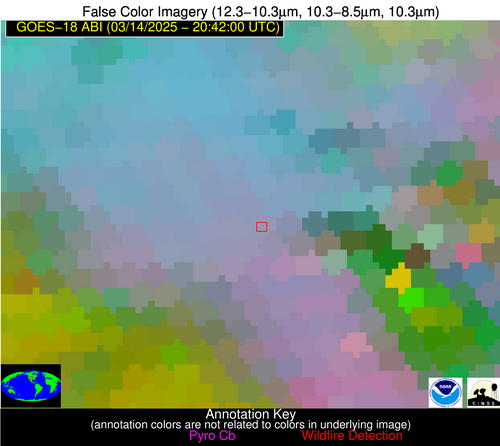
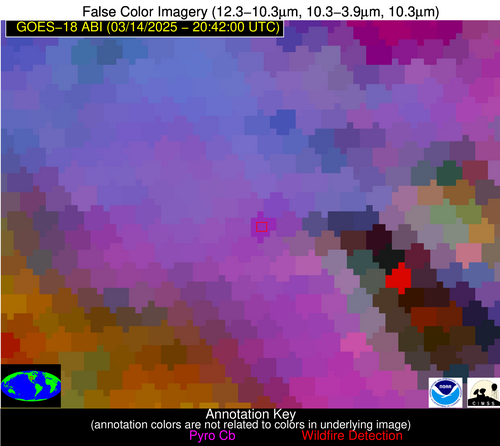
Possible Wildfire
| Basic Information | |
|---|---|
| State/Province(s) | KS |
| Country/Countries | United States |
| County/Locality(s) | Wallace County, KS |
| NWS WFO | Goodland KS |
| Identification Method | Enhanced Contextual (Cloud) |
| Mean Object Date/Time | 2025-03-14 20:41:58UTC |
| Radiative Center (Lat, Lon): | 38.806389°, -101.564163° |
| Nearby Counties (meeting alert criteria): |
|
| Total Radiative Power Anomaly | n/a |
| Total Radiative Power | 59.57 MW |
| Map: | |
| Additional Information | |
| Alert Status | New Feature |
| Type of Event | Nominal Risk |
| Event Priority Ranking | 4 |
| Maximum Observed BT (3.9 um) | 303.06 K |
| Observed - Background BT (3.9 um) | 5.93 K |
| BT Anomaly (3.9 um) | 3.93 K |
| Maximum Observed - Clear RTM BT (3.9 um) | 16.41 K |
| Maximum Observed BTD (3.9-10/11/12 um) | 25.59 K |
| Observed - Background BTD (3.9-10/11/12 um) | 5.84 K |
| BTD Anomaly (3.9-10/11/12 um) | 3.71 K |
| Similar Pixel Count | 0 |
| BT Time Tendency (3.9 um) | 6.00 K |
| Image Interval | 2.00 minutes |
| Fraction of Surrounding LWIR Pixels that are Colder | 0.78 |
| Fraction of Surrounding Red Channel Pixels that are Brighter | 1.00 |
| Maximum Radiative Power | 59.57 MW |
| Maximum Radiative Power Uncertainty | 0.00 MW |
| Total Radiative Power Uncertainty | 0.00 MW |
| Mean Viewing Angle | 58.30° |
| Mean Solar Zenith Angle | 48.40° |
| Mean Glint Angle | 105.90° |
| Water Fraction | 0.00 |
| Total Pixel Area | 7.60 km2 |
| Latest Satellite Imagery: | |
| View all event imagery » | |
Possible Wildfire
| Basic Information | |
|---|---|
| State/Province(s) | KS |
| Country/Countries | United States |
| County/Locality(s) | Jefferson County, KS |
| NWS WFO | Topeka KS |
| Identification Method | Enhanced Contextual (Clear) |
| Mean Object Date/Time | 2025-03-14 20:41:59UTC |
| Radiative Center (Lat, Lon): | 39.067223°, -95.597221° |
| Nearby Counties (meeting alert criteria): |
|
| Total Radiative Power Anomaly | n/a |
| Total Radiative Power | 27.41 MW |
| Map: | |
| Additional Information | |
| Alert Status | New Feature |
| Type of Event | Critical SPC Risk and Red Flag Warning |
| Event Priority Ranking | 1 |
| Maximum Observed BT (3.9 um) | 303.93 K |
| Observed - Background BT (3.9 um) | 5.33 K |
| BT Anomaly (3.9 um) | 6.94 K |
| Maximum Observed - Clear RTM BT (3.9 um) | 15.42 K |
| Maximum Observed BTD (3.9-10/11/12 um) | 17.57 K |
| Observed - Background BTD (3.9-10/11/12 um) | 4.52 K |
| BTD Anomaly (3.9-10/11/12 um) | 7.15 K |
| Similar Pixel Count | 23 |
| BT Time Tendency (3.9 um) | 2.30 K |
| Image Interval | 2.00 minutes |
| Fraction of Surrounding LWIR Pixels that are Colder | 0.93 |
| Fraction of Surrounding Red Channel Pixels that are Brighter | 0.88 |
| Maximum Radiative Power | 27.41 MW |
| Maximum Radiative Power Uncertainty | 0.00 MW |
| Total Radiative Power Uncertainty | 0.00 MW |
| Mean Viewing Angle | 62.40° |
| Mean Solar Zenith Angle | 51.60° |
| Mean Glint Angle | 113.20° |
| Water Fraction | 0.00 |
| Total Pixel Area | 8.60 km2 |
| Latest Satellite Imagery: | |
| View all event imagery » | |
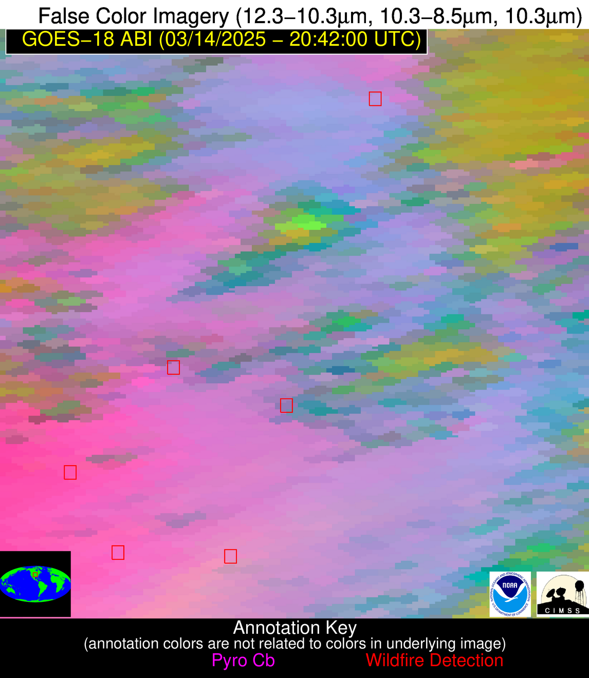
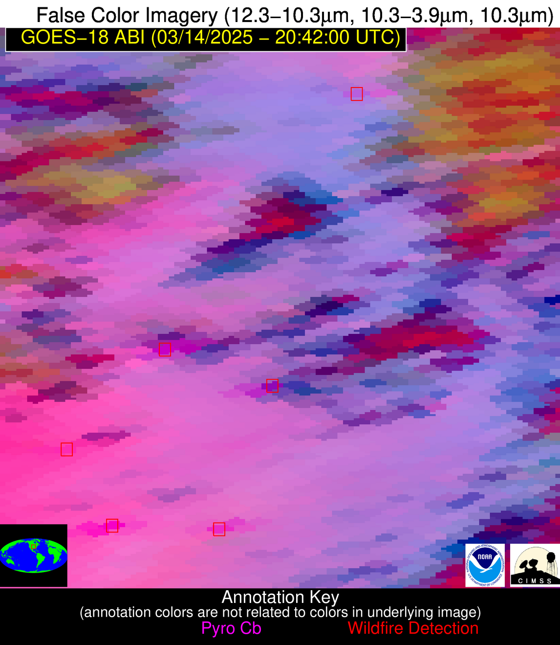
Possible Wildfire
| Basic Information | |
|---|---|
| State/Province(s) | KS |
| Country/Countries | United States |
| County/Locality(s) | Montgomery County, KS |
| NWS WFO | Wichita KS |
| Identification Method | Enhanced Contextual (Cloud) |
| Mean Object Date/Time | 2025-03-14 20:42:02UTC |
| Radiative Center (Lat, Lon): | 37.303055°, -95.807777° |
| Nearby Counties (meeting alert criteria): |
|
| Total Radiative Power Anomaly | n/a |
| Total Radiative Power | 124.13 MW |
| Map: | |
| Additional Information | |
| Alert Status | New Feature |
| Type of Event | Extreme SPC Risk and Red Flag Warning |
| Event Priority Ranking | 1 |
| Maximum Observed BT (3.9 um) | 306.52 K |
| Observed - Background BT (3.9 um) | 8.28 K |
| BT Anomaly (3.9 um) | 4.39 K |
| Maximum Observed - Clear RTM BT (3.9 um) | 17.04 K |
| Maximum Observed BTD (3.9-10/11/12 um) | 23.73 K |
| Observed - Background BTD (3.9-10/11/12 um) | 8.35 K |
| BTD Anomaly (3.9-10/11/12 um) | 3.91 K |
| Similar Pixel Count | 0 |
| BT Time Tendency (3.9 um) | 3.80 K |
| Image Interval | 2.00 minutes |
| Fraction of Surrounding LWIR Pixels that are Colder | 0.48 |
| Fraction of Surrounding Red Channel Pixels that are Brighter | 0.72 |
| Maximum Radiative Power | 124.13 MW |
| Maximum Radiative Power Uncertainty | 0.00 MW |
| Total Radiative Power Uncertainty | 0.00 MW |
| Mean Viewing Angle | 61.20° |
| Mean Solar Zenith Angle | 50.20° |
| Mean Glint Angle | 110.60° |
| Water Fraction | 0.00 |
| Total Pixel Area | 8.30 km2 |
| Latest Satellite Imagery: | |
| View all event imagery » | |


