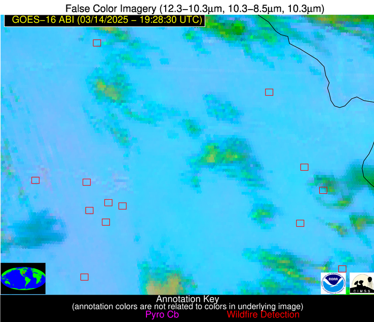
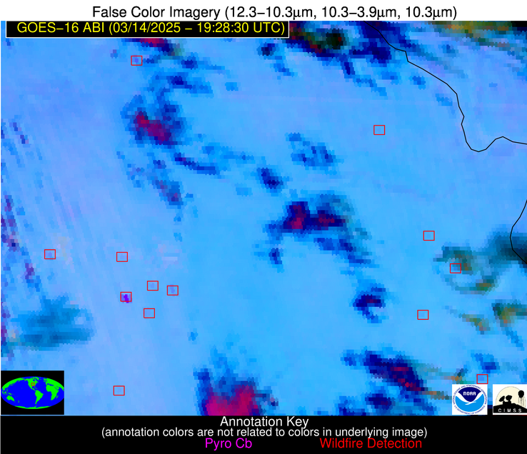
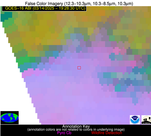
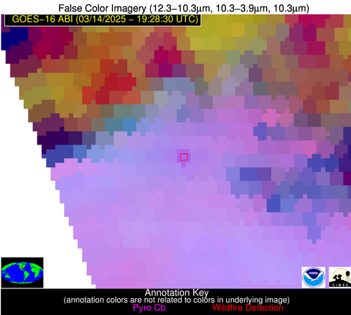
Wildfire Alert Report
| Date: | 2025-03-14 |
|---|---|
| Time: | 19:28:23 |
| Production Date and Time: | 2025-03-14 19:29:02 UTC |
| Primary Instrument: | GOES-16 ABI |
| Wmo Spacecraft Id: | 152 |
| Location/orbit: | GEO |
| L1 File: | OR_ABI-L1b-RadM1-M6C14_G16_s20250731928234_e20250731928291_c20250731928353.nc |
| L1 File(s) - Temporal | OR_ABI-L1b-RadM1-M6C14_G16_s20250731927234_e20250731927291_c20250731927354.nc |
| Number Of Thermal Anomaly Alerts: | 6 |
Possible Wildfire
| Basic Information | |
|---|---|
| State/Province(s) | MO |
| Country/Countries | United States |
| County/Locality(s) | Chariton County, MO |
| NWS WFO | Kansas City/Pleasant Hill MO |
| Identification Method | Enhanced Contextual (Cloud) |
| Mean Object Date/Time | 2025-03-14 19:28:25UTC |
| Radiative Center (Lat, Lon): | 39.472221°, -92.923615° |
| Nearby Counties (meeting alert criteria): |
|
| Total Radiative Power Anomaly | n/a |
| Total Radiative Power | 39.58 MW |
| Map: | |
| Additional Information | |
| Alert Status | New Feature |
| Type of Event | Critical SPC Risk and Red Flag Warning |
| Event Priority Ranking | 1 |
| Maximum Observed BT (3.9 um) | 313.50 K |
| Observed - Background BT (3.9 um) | 8.71 K |
| BT Anomaly (3.9 um) | 11.11 K |
| Maximum Observed - Clear RTM BT (3.9 um) | 22.09 K |
| Maximum Observed BTD (3.9-10/11/12 um) | 19.91 K |
| Observed - Background BTD (3.9-10/11/12 um) | 8.23 K |
| BTD Anomaly (3.9-10/11/12 um) | 10.57 K |
| Similar Pixel Count | 0 |
| BT Time Tendency (3.9 um) | 6.80 K |
| Image Interval | 1.00 minutes |
| Fraction of Surrounding LWIR Pixels that are Colder | 0.86 |
| Fraction of Surrounding Red Channel Pixels that are Brighter | 1.00 |
| Maximum Radiative Power | 39.58 MW |
| Maximum Radiative Power Uncertainty | 0.00 MW |
| Total Radiative Power Uncertainty | 0.00 MW |
| Mean Viewing Angle | 49.40° |
| Mean Solar Zenith Angle | 45.20° |
| Mean Glint Angle | 83.40° |
| Water Fraction | 0.00 |
| Total Pixel Area | 6.20 km2 |
| Latest Satellite Imagery: | |
| View all event imagery » | |
Possible Wildfire
| Basic Information | |
|---|---|
| State/Province(s) | MO |
| Country/Countries | United States |
| County/Locality(s) | Lincoln County, MO |
| NWS WFO | St Louis MO |
| Identification Method | Enhanced Contextual (Clear) |
| Mean Object Date/Time | 2025-03-14 19:28:25UTC |
| Radiative Center (Lat, Lon): | 39.011112°, -91.262497° |
| Nearby Counties (meeting alert criteria): |
|
| Total Radiative Power Anomaly | n/a |
| Total Radiative Power | 6.68 MW |
| Map: | |
| Additional Information | |
| Alert Status | New Feature |
| Type of Event | Elevated SPC Risk |
| Event Priority Ranking | 3 |
| Maximum Observed BT (3.9 um) | 305.78 K |
| Observed - Background BT (3.9 um) | 1.89 K |
| BT Anomaly (3.9 um) | 4.72 K |
| Maximum Observed - Clear RTM BT (3.9 um) | 12.86 K |
| Maximum Observed BTD (3.9-10/11/12 um) | 10.78 K |
| Observed - Background BTD (3.9-10/11/12 um) | 1.32 K |
| BTD Anomaly (3.9-10/11/12 um) | 3.73 K |
| Similar Pixel Count | 25 |
| BT Time Tendency (3.9 um) | 0.80 K |
| Image Interval | 1.00 minutes |
| Fraction of Surrounding LWIR Pixels that are Colder | 0.88 |
| Fraction of Surrounding Red Channel Pixels that are Brighter | 1.00 |
| Maximum Radiative Power | 6.68 MW |
| Maximum Radiative Power Uncertainty | 0.00 MW |
| Total Radiative Power Uncertainty | 0.00 MW |
| Mean Viewing Angle | 48.40° |
| Mean Solar Zenith Angle | 45.30° |
| Mean Glint Angle | 82.40° |
| Water Fraction | 0.00 |
| Total Pixel Area | 6.00 km2 |
| Latest Satellite Imagery: | |
| View all event imagery » | |
Possible Wildfire
| Basic Information | |
|---|---|
| State/Province(s) | KS |
| Country/Countries | United States |
| County/Locality(s) | McPherson County, KS |
| NWS WFO | Wichita KS |
| Identification Method | Enhanced Contextual (Cloud) |
| Mean Object Date/Time | 2025-03-14 19:28:24UTC |
| Radiative Center (Lat, Lon): | 38.472500°, -97.423332° |
| Nearby Counties (meeting alert criteria): |
|
| Total Radiative Power Anomaly | n/a |
| Total Radiative Power | 24.19 MW |
| Map: | |
| Additional Information | |
| Alert Status | New Feature |
| Type of Event | Critical SPC Risk and Red Flag Warning |
| Event Priority Ranking | 1 |
| Maximum Observed BT (3.9 um) | 306.26 K |
| Observed - Background BT (3.9 um) | 5.86 K |
| BT Anomaly (3.9 um) | 6.89 K |
| Maximum Observed - Clear RTM BT (3.9 um) | 17.33 K |
| Maximum Observed BTD (3.9-10/11/12 um) | 16.96 K |
| Observed - Background BTD (3.9-10/11/12 um) | 6.50 K |
| BTD Anomaly (3.9-10/11/12 um) | 6.79 K |
| Similar Pixel Count | 0 |
| BT Time Tendency (3.9 um) | 4.50 K |
| Image Interval | 1.00 minutes |
| Fraction of Surrounding LWIR Pixels that are Colder | 0.65 |
| Fraction of Surrounding Red Channel Pixels that are Brighter | 1.00 |
| Maximum Radiative Power | 24.19 MW |
| Maximum Radiative Power Uncertainty | 0.00 MW |
| Total Radiative Power Uncertainty | 0.00 MW |
| Mean Viewing Angle | 50.40° |
| Mean Solar Zenith Angle | 43.00° |
| Mean Glint Angle | 82.10° |
| Water Fraction | 0.00 |
| Total Pixel Area | 6.30 km2 |
| Latest Satellite Imagery: | |
| View all event imagery » | |
Possible Wildfire
| Basic Information | |
|---|---|
| State/Province(s) | MO |
| Country/Countries | United States |
| County/Locality(s) | St. Clair County, MO |
| NWS WFO | Springfield MO |
| Identification Method | Enhanced Contextual (Clear) |
| Mean Object Date/Time | 2025-03-14 19:28:24UTC |
| Radiative Center (Lat, Lon): | 38.186111°, -93.516945° |
| Nearby Counties (meeting alert criteria): |
|
| Total Radiative Power Anomaly | n/a |
| Total Radiative Power | 18.73 MW |
| Map: | |
| Additional Information | |
| Alert Status | New Feature |
| Type of Event | Critical SPC Risk and Red Flag Warning |
| Event Priority Ranking | 1 |
| Maximum Observed BT (3.9 um) | 304.65 K |
| Observed - Background BT (3.9 um) | 4.08 K |
| BT Anomaly (3.9 um) | 1.98 K |
| Maximum Observed - Clear RTM BT (3.9 um) | 12.44 K |
| Maximum Observed BTD (3.9-10/11/12 um) | 13.46 K |
| Observed - Background BTD (3.9-10/11/12 um) | 4.40 K |
| BTD Anomaly (3.9-10/11/12 um) | 2.60 K |
| Similar Pixel Count | 7 |
| BT Time Tendency (3.9 um) | 0.70 K |
| Image Interval | 1.00 minutes |
| Fraction of Surrounding LWIR Pixels that are Colder | 0.25 |
| Fraction of Surrounding Red Channel Pixels that are Brighter | 1.00 |
| Maximum Radiative Power | 18.73 MW |
| Maximum Radiative Power Uncertainty | 0.00 MW |
| Total Radiative Power Uncertainty | 0.00 MW |
| Mean Viewing Angle | 48.40° |
| Mean Solar Zenith Angle | 43.80° |
| Mean Glint Angle | 80.90° |
| Water Fraction | 0.00 |
| Total Pixel Area | 6.00 km2 |
| Latest Satellite Imagery: | |
| View all event imagery » | |
Possible Wildfire
| Basic Information | |
|---|---|
| State/Province(s) | MO |
| Country/Countries | United States |
| County/Locality(s) | Camden County, MO |
| NWS WFO | Springfield MO |
| Identification Method | Enhanced Contextual (Clear) |
| Mean Object Date/Time | 2025-03-14 19:28:25UTC |
| Radiative Center (Lat, Lon): | 37.976944°, -92.813614° |
| Nearby Counties (meeting alert criteria): |
|
| Total Radiative Power Anomaly | n/a |
| Total Radiative Power | 12.46 MW |
| Map: | |
| Additional Information | |
| Alert Status | New Feature |
| Type of Event | Critical SPC Risk and Red Flag Warning |
| Event Priority Ranking | 1 |
| Maximum Observed BT (3.9 um) | 307.60 K |
| Observed - Background BT (3.9 um) | 2.57 K |
| BT Anomaly (3.9 um) | 1.90 K |
| Maximum Observed - Clear RTM BT (3.9 um) | 17.65 K |
| Maximum Observed BTD (3.9-10/11/12 um) | 11.27 K |
| Observed - Background BTD (3.9-10/11/12 um) | 2.83 K |
| BTD Anomaly (3.9-10/11/12 um) | 2.65 K |
| Similar Pixel Count | 24 |
| BT Time Tendency (3.9 um) | 1.00 K |
| Image Interval | 1.00 minutes |
| Fraction of Surrounding LWIR Pixels that are Colder | 0.41 |
| Fraction of Surrounding Red Channel Pixels that are Brighter | 1.00 |
| Maximum Radiative Power | 12.46 MW |
| Maximum Radiative Power Uncertainty | 0.00 MW |
| Total Radiative Power Uncertainty | 0.00 MW |
| Mean Viewing Angle | 47.90° |
| Mean Solar Zenith Angle | 43.90° |
| Mean Glint Angle | 80.40° |
| Water Fraction | 0.00 |
| Total Pixel Area | 6.00 km2 |
| Latest Satellite Imagery: | |
| View all event imagery » | |
Possible Wildfire
| Basic Information | |
|---|---|
| State/Province(s) | MO |
| Country/Countries | United States |
| County/Locality(s) | Iron County, MO |
| NWS WFO | St Louis MO |
| Identification Method | Enhanced Contextual (Clear) |
| Mean Object Date/Time | 2025-03-14 19:28:25UTC |
| Radiative Center (Lat, Lon): | 37.356945°, -90.557220° |
| Nearby Counties (meeting alert criteria): |
|
| Total Radiative Power Anomaly | n/a |
| Total Radiative Power | 20.49 MW |
| Map: | |
| Additional Information | |
| Alert Status | New Feature |
| Type of Event | Elevated SPC Risk |
| Event Priority Ranking | 3 |
| Maximum Observed BT (3.9 um) | 309.45 K |
| Observed - Background BT (3.9 um) | 5.70 K |
| BT Anomaly (3.9 um) | 8.22 K |
| Maximum Observed - Clear RTM BT (3.9 um) | 17.11 K |
| Maximum Observed BTD (3.9-10/11/12 um) | 14.11 K |
| Observed - Background BTD (3.9-10/11/12 um) | 5.01 K |
| BTD Anomaly (3.9-10/11/12 um) | 8.52 K |
| Similar Pixel Count | 13 |
| BT Time Tendency (3.9 um) | 0.20 K |
| Image Interval | 1.00 minutes |
| Fraction of Surrounding LWIR Pixels that are Colder | 0.90 |
| Fraction of Surrounding Red Channel Pixels that are Brighter | 1.00 |
| Maximum Radiative Power | 20.49 MW |
| Maximum Radiative Power Uncertainty | 0.00 MW |
| Total Radiative Power Uncertainty | 0.00 MW |
| Mean Viewing Angle | 46.40° |
| Mean Solar Zenith Angle | 44.10° |
| Mean Glint Angle | 79.20° |
| Water Fraction | 0.00 |
| Total Pixel Area | 5.80 km2 |
| Latest Satellite Imagery: | |
| View all event imagery » | |


