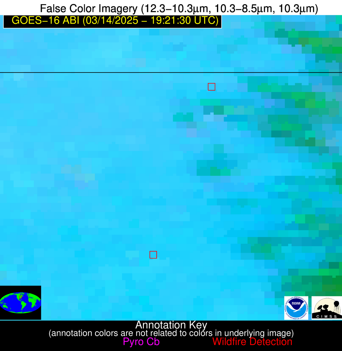
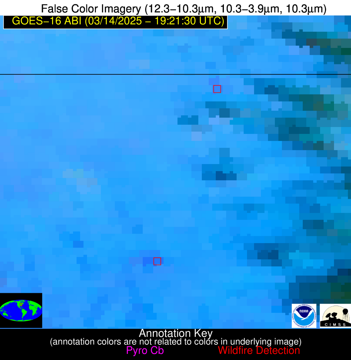
10 Jan 2026: Notice to users: ongoing data center construction may unexpectedly interrupt NGFS product generation.
Wildfire Alert Report
| Date: | 2025-03-14 |
|---|---|
| Time: | 19:21:15 |
| Production Date and Time: | 2025-03-14 19:26:27 UTC |
| Primary Instrument: | GOES-16 ABI |
| Wmo Spacecraft Id: | 152 |
| Location/orbit: | GEO |
| L1 File: | OR_ABI-L1b-RadC-M6C14_G16_s20250731921155_e20250731923528_c20250731924022.nc |
| L1 File(s) - Temporal | OR_ABI-L1b-RadC-M6C14_G16_s20250731916155_e20250731918528_c20250731919026.nc |
| Number Of Thermal Anomaly Alerts: | 9 |
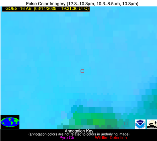
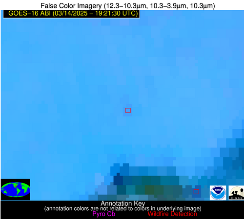
Possible Wildfire
| Basic Information | |
|---|---|
| State/Province(s) | IN |
| Country/Countries | United States |
| County/Locality(s) | LaGrange County, IN |
| NWS WFO | Northern Indiana IN |
| Identification Method | Enhanced Contextual (Clear) |
| Mean Object Date/Time | 2025-03-14 19:21:49UTC |
| Radiative Center (Lat, Lon): | 41.714443°, -85.373337° |
| Nearby Counties (meeting alert criteria): |
|
| Total Radiative Power Anomaly | n/a |
| Total Radiative Power | 17.15 MW |
| Map: | |
| Additional Information | |
| Alert Status | New Feature |
| Type of Event | Elevated SPC Risk |
| Event Priority Ranking | 3 |
| Maximum Observed BT (3.9 um) | 305.36 K |
| Observed - Background BT (3.9 um) | 4.79 K |
| BT Anomaly (3.9 um) | 6.05 K |
| Maximum Observed - Clear RTM BT (3.9 um) | 15.13 K |
| Maximum Observed BTD (3.9-10/11/12 um) | 15.02 K |
| Observed - Background BTD (3.9-10/11/12 um) | 4.43 K |
| BTD Anomaly (3.9-10/11/12 um) | 6.22 K |
| Similar Pixel Count | 25 |
| BT Time Tendency (3.9 um) | 4.30 K |
| Image Interval | 5.00 minutes |
| Fraction of Surrounding LWIR Pixels that are Colder | 0.75 |
| Fraction of Surrounding Red Channel Pixels that are Brighter | 1.00 |
| Maximum Radiative Power | 17.15 MW |
| Maximum Radiative Power Uncertainty | 0.00 MW |
| Total Radiative Power Uncertainty | 0.00 MW |
| Mean Viewing Angle | 49.50° |
| Mean Solar Zenith Angle | 49.20° |
| Mean Glint Angle | 88.90° |
| Water Fraction | 0.00 |
| Total Pixel Area | 6.20 km2 |
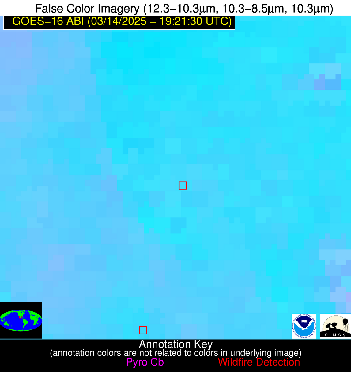
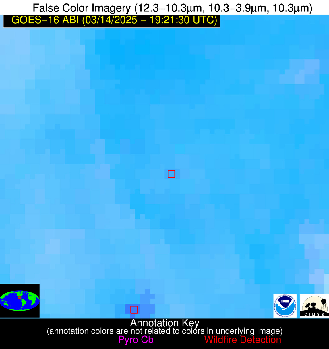
| Latest Satellite Imagery: | |
| View all event imagery » | |
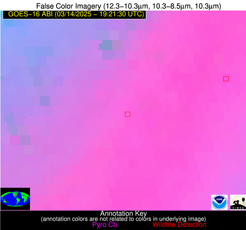
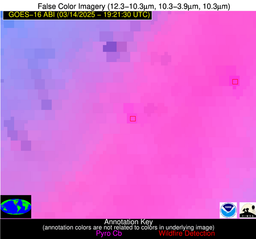
Possible Wildfire
| Basic Information | |
|---|---|
| State/Province(s) | IN |
| Country/Countries | United States |
| County/Locality(s) | Whitley County, IN |
| NWS WFO | Northern Indiana IN |
| Identification Method | Enhanced Contextual (Clear) |
| Mean Object Date/Time | 2025-03-14 19:21:49UTC |
| Radiative Center (Lat, Lon): | 41.096390°, -85.516670° |
| Nearby Counties (meeting alert criteria): |
|
| Total Radiative Power Anomaly | n/a |
| Total Radiative Power | 49.61 MW |
| Map: | |
| Additional Information | |
| Alert Status | New Feature |
| Type of Event | Elevated SPC Risk |
| Event Priority Ranking | 3 |
| Maximum Observed BT (3.9 um) | 308.92 K |
| Observed - Background BT (3.9 um) | 6.49 K |
| BT Anomaly (3.9 um) | 7.22 K |
| Maximum Observed - Clear RTM BT (3.9 um) | 17.78 K |
| Maximum Observed BTD (3.9-10/11/12 um) | 17.84 K |
| Observed - Background BTD (3.9-10/11/12 um) | 5.93 K |
| BTD Anomaly (3.9-10/11/12 um) | 6.45 K |
| Similar Pixel Count | 18 |
| BT Time Tendency (3.9 um) | 2.00 K |
| Image Interval | 5.00 minutes |
| Fraction of Surrounding LWIR Pixels that are Colder | 0.79 |
| Fraction of Surrounding Red Channel Pixels that are Brighter | 1.00 |
| Maximum Radiative Power | 25.77 MW |
| Maximum Radiative Power Uncertainty | 0.00 MW |
| Total Radiative Power Uncertainty | 0.00 MW |
| Mean Viewing Angle | 48.90° |
| Mean Solar Zenith Angle | 48.60° |
| Mean Glint Angle | 87.60° |
| Water Fraction | 0.00 |
| Total Pixel Area | 12.20 km2 |
| Latest Satellite Imagery: | |
| View all event imagery » | |
Possible Wildfire
| Basic Information | |
|---|---|
| State/Province(s) | KS |
| Country/Countries | United States |
| County/Locality(s) | Shawnee County, KS |
| NWS WFO | Topeka KS |
| Identification Method | Enhanced Contextual (Cloud) |
| Mean Object Date/Time | 2025-03-14 19:21:48UTC |
| Radiative Center (Lat, Lon): | 38.996387°, -95.932503° |
| Nearby Counties (meeting alert criteria): |
|
| Total Radiative Power Anomaly | n/a |
| Total Radiative Power | 147.34 MW |
| Map: | |
| Additional Information | |
| Alert Status | New Feature |
| Type of Event | Critical SPC Risk and Red Flag Warning |
| Event Priority Ranking | 1 |
| Maximum Observed BT (3.9 um) | 316.53 K |
| Observed - Background BT (3.9 um) | 16.57 K |
| BT Anomaly (3.9 um) | 8.09 K |
| Maximum Observed - Clear RTM BT (3.9 um) | 23.70 K |
| Maximum Observed BTD (3.9-10/11/12 um) | 32.64 K |
| Observed - Background BTD (3.9-10/11/12 um) | 16.69 K |
| BTD Anomaly (3.9-10/11/12 um) | 7.61 K |
| Similar Pixel Count | 0 |
| BT Time Tendency (3.9 um) | 10.30 K |
| Image Interval | 5.00 minutes |
| Fraction of Surrounding LWIR Pixels that are Colder | 0.59 |
| Fraction of Surrounding Red Channel Pixels that are Brighter | 0.66 |
| Maximum Radiative Power | 147.34 MW |
| Maximum Radiative Power Uncertainty | 0.00 MW |
| Total Radiative Power Uncertainty | 0.00 MW |
| Mean Viewing Angle | 50.20° |
| Mean Solar Zenith Angle | 43.40° |
| Mean Glint Angle | 83.40° |
| Water Fraction | 0.00 |
| Total Pixel Area | 6.30 km2 |
| Latest Satellite Imagery: | |
| View all event imagery » | |
Possible Wildfire
| Basic Information | |
|---|---|
| State/Province(s) | MO |
| Country/Countries | United States |
| County/Locality(s) | Franklin County, MO |
| NWS WFO | St Louis MO |
| Identification Method | Enhanced Contextual (Clear) |
| Mean Object Date/Time | 2025-03-14 19:21:49UTC |
| Radiative Center (Lat, Lon): | 38.309166°, -90.923058° |
| Nearby Counties (meeting alert criteria): |
|
| Total Radiative Power Anomaly | n/a |
| Total Radiative Power | 8.49 MW |
| Map: | |
| Additional Information | |
| Alert Status | New Feature |
| Type of Event | Elevated SPC Risk |
| Event Priority Ranking | 3 |
| Maximum Observed BT (3.9 um) | 307.07 K |
| Observed - Background BT (3.9 um) | 2.80 K |
| BT Anomaly (3.9 um) | 4.07 K |
| Maximum Observed - Clear RTM BT (3.9 um) | 13.65 K |
| Maximum Observed BTD (3.9-10/11/12 um) | 10.99 K |
| Observed - Background BTD (3.9-10/11/12 um) | 2.24 K |
| BTD Anomaly (3.9-10/11/12 um) | 5.82 K |
| Similar Pixel Count | 25 |
| BT Time Tendency (3.9 um) | 1.20 K |
| Image Interval | 5.00 minutes |
| Fraction of Surrounding LWIR Pixels that are Colder | 0.86 |
| Fraction of Surrounding Red Channel Pixels that are Brighter | 1.00 |
| Maximum Radiative Power | 8.49 MW |
| Maximum Radiative Power Uncertainty | 0.00 MW |
| Total Radiative Power Uncertainty | 0.00 MW |
| Mean Viewing Angle | 47.50° |
| Mean Solar Zenith Angle | 44.20° |
| Mean Glint Angle | 81.50° |
| Water Fraction | 0.00 |
| Total Pixel Area | 5.90 km2 |
| Latest Satellite Imagery: | |
| View all event imagery » | |
Possible Wildfire
| Basic Information | |
|---|---|
| State/Province(s) | OK |
| Country/Countries | United States |
| County/Locality(s) | Hughes County, OK |
| NWS WFO | Norman OK |
| Identification Method | Enhanced Contextual (Clear) |
| Mean Object Date/Time | 2025-03-14 19:22:18UTC |
| Radiative Center (Lat, Lon): | 35.264999°, -96.150276° |
| Nearby Counties (meeting alert criteria): |
|
| Total Radiative Power Anomaly | n/a |
| Total Radiative Power | 37.13 MW |
| Map: | |
| Additional Information | |
| Alert Status | New Feature |
| Type of Event | Extreme SPC Risk and Red Flag Warning |
| Event Priority Ranking | 1 |
| Maximum Observed BT (3.9 um) | 306.74 K |
| Observed - Background BT (3.9 um) | 4.25 K |
| BT Anomaly (3.9 um) | 4.55 K |
| Maximum Observed - Clear RTM BT (3.9 um) | 13.27 K |
| Maximum Observed BTD (3.9-10/11/12 um) | 18.62 K |
| Observed - Background BTD (3.9-10/11/12 um) | 4.08 K |
| BTD Anomaly (3.9-10/11/12 um) | 3.08 K |
| Similar Pixel Count | 25 |
| BT Time Tendency (3.9 um) | 2.10 K |
| Image Interval | 5.00 minutes |
| Fraction of Surrounding LWIR Pixels that are Colder | 0.56 |
| Fraction of Surrounding Red Channel Pixels that are Brighter | 0.98 |
| Maximum Radiative Power | 37.13 MW |
| Maximum Radiative Power Uncertainty | 0.00 MW |
| Total Radiative Power Uncertainty | 0.00 MW |
| Mean Viewing Angle | 46.80° |
| Mean Solar Zenith Angle | 39.80° |
| Mean Glint Angle | 76.20° |
| Water Fraction | 0.00 |
| Total Pixel Area | 5.80 km2 |
| Latest Satellite Imagery: | |
| View all event imagery » | |
Possible Wildfire
| Basic Information | |
|---|---|
| State/Province(s) | SC |
| Country/Countries | United States |
| County/Locality(s) | Florence County, SC |
| NWS WFO | Wilmington NC |
| Identification Method | Enhanced Contextual (Clear) |
| Mean Object Date/Time | 2025-03-14 19:22:20UTC |
| Radiative Center (Lat, Lon): | 34.026112°, -79.939163° |
| Nearby Counties (meeting alert criteria): |
|
| Total Radiative Power Anomaly | n/a |
| Total Radiative Power | 13.96 MW |
| Map: | |
| Additional Information | |
| Alert Status | New Feature |
| Type of Event | Nominal Risk |
| Event Priority Ranking | 4 |
| Maximum Observed BT (3.9 um) | 305.95 K |
| Observed - Background BT (3.9 um) | 3.88 K |
| BT Anomaly (3.9 um) | 3.78 K |
| Maximum Observed - Clear RTM BT (3.9 um) | 12.47 K |
| Maximum Observed BTD (3.9-10/11/12 um) | 11.64 K |
| Observed - Background BTD (3.9-10/11/12 um) | 4.10 K |
| BTD Anomaly (3.9-10/11/12 um) | 5.68 K |
| Similar Pixel Count | 6 |
| BT Time Tendency (3.9 um) | 3.10 K |
| Image Interval | 5.00 minutes |
| Fraction of Surrounding LWIR Pixels that are Colder | 0.28 |
| Fraction of Surrounding Red Channel Pixels that are Brighter | 1.00 |
| Maximum Radiative Power | 13.96 MW |
| Maximum Radiative Power Uncertainty | 0.00 MW |
| Total Radiative Power Uncertainty | 0.00 MW |
| Mean Viewing Angle | 40.00° |
| Mean Solar Zenith Angle | 45.50° |
| Mean Glint Angle | 76.20° |
| Water Fraction | 0.00 |
| Total Pixel Area | 5.20 km2 |
| Latest Satellite Imagery: | |
| View all event imagery » | |
Possible Wildfire
| Basic Information | |
|---|---|
| State/Province(s) | SC |
| Country/Countries | United States |
| County/Locality(s) | Clarendon County, SC |
| NWS WFO | Columbia SC |
| Identification Method | Enhanced Contextual (Clear) |
| Mean Object Date/Time | 2025-03-14 19:22:20UTC |
| Radiative Center (Lat, Lon): | 33.785831°, -80.148056° |
| Nearby Counties (meeting alert criteria): |
|
| Total Radiative Power Anomaly | n/a |
| Total Radiative Power | 9.01 MW |
| Map: | |
| Additional Information | |
| Alert Status | New Feature |
| Type of Event | Nominal Risk |
| Event Priority Ranking | 4 |
| Maximum Observed BT (3.9 um) | 305.18 K |
| Observed - Background BT (3.9 um) | 2.91 K |
| BT Anomaly (3.9 um) | 2.57 K |
| Maximum Observed - Clear RTM BT (3.9 um) | 10.88 K |
| Maximum Observed BTD (3.9-10/11/12 um) | 10.65 K |
| Observed - Background BTD (3.9-10/11/12 um) | 2.99 K |
| BTD Anomaly (3.9-10/11/12 um) | 3.43 K |
| Similar Pixel Count | 24 |
| BT Time Tendency (3.9 um) | 2.00 K |
| Image Interval | 5.00 minutes |
| Fraction of Surrounding LWIR Pixels that are Colder | 0.41 |
| Fraction of Surrounding Red Channel Pixels that are Brighter | 0.92 |
| Maximum Radiative Power | 9.01 MW |
| Maximum Radiative Power Uncertainty | 0.00 MW |
| Total Radiative Power Uncertainty | 0.00 MW |
| Mean Viewing Angle | 39.80° |
| Mean Solar Zenith Angle | 45.20° |
| Mean Glint Angle | 75.60° |
| Water Fraction | 0.00 |
| Total Pixel Area | 5.20 km2 |
| Latest Satellite Imagery: | |
| View all event imagery » | |
Possible Wildfire
| Basic Information | |
|---|---|
| State/Province(s) | Chihuahua |
| Country/Countries | Mexico |
| County/Locality(s) | Guadalupe y Calvo, Chihuahua |
| NWS WFO | N/A |
| Identification Method | Enhanced Contextual (Cloud) |
| Mean Object Date/Time | 2025-03-14 19:22:46UTC |
| Radiative Center (Lat, Lon): | 26.000834°, -106.551109° |
| Nearby Counties (meeting alert criteria): |
|
| Total Radiative Power Anomaly | n/a |
| Total Radiative Power | 28.77 MW |
| Map: | |
| Additional Information | |
| Alert Status | New Feature |
| Type of Event | Nominal Risk |
| Event Priority Ranking | 4 |
| Maximum Observed BT (3.9 um) | 310.66 K |
| Observed - Background BT (3.9 um) | 8.63 K |
| BT Anomaly (3.9 um) | 6.36 K |
| Maximum Observed - Clear RTM BT (3.9 um) | 22.04 K |
| Maximum Observed BTD (3.9-10/11/12 um) | 14.83 K |
| Observed - Background BTD (3.9-10/11/12 um) | 8.13 K |
| BTD Anomaly (3.9-10/11/12 um) | 20.43 K |
| Similar Pixel Count | 0 |
| BT Time Tendency (3.9 um) | 0.50 K |
| Image Interval | 5.00 minutes |
| Fraction of Surrounding LWIR Pixels that are Colder | 0.71 |
| Fraction of Surrounding Red Channel Pixels that are Brighter | 1.00 |
| Maximum Radiative Power | 28.77 MW |
| Maximum Radiative Power Uncertainty | 0.00 MW |
| Total Radiative Power Uncertainty | 0.00 MW |
| Mean Viewing Angle | 46.30° |
| Mean Solar Zenith Angle | 29.00° |
| Mean Glint Angle | 65.60° |
| Water Fraction | 0.00 |
| Total Pixel Area | 5.80 km2 |
| Latest Satellite Imagery: | |
| View all event imagery » | |
Possible Wildfire
| Basic Information | |
|---|---|
| State/Province(s) | Tamaulipas |
| Country/Countries | Mexico |
| County/Locality(s) | El Mante, Tamaulipas |
| NWS WFO | N/A |
| Identification Method | Enhanced Contextual (Clear) |
| Mean Object Date/Time | 2025-03-14 19:23:17UTC |
| Radiative Center (Lat, Lon): | 22.800278°, -99.007225° |
| Nearby Counties (meeting alert criteria): |
|
| Total Radiative Power Anomaly | n/a |
| Total Radiative Power | 9.08 MW |
| Map: | |
| Additional Information | |
| Alert Status | New Feature |
| Type of Event | Nominal Risk |
| Event Priority Ranking | 4 |
| Maximum Observed BT (3.9 um) | 323.25 K |
| Observed - Background BT (3.9 um) | 1.84 K |
| BT Anomaly (3.9 um) | 1.27 K |
| Maximum Observed - Clear RTM BT (3.9 um) | 9.23 K |
| Maximum Observed BTD (3.9-10/11/12 um) | 9.55 K |
| Observed - Background BTD (3.9-10/11/12 um) | 1.73 K |
| BTD Anomaly (3.9-10/11/12 um) | 2.17 K |
| Similar Pixel Count | 25 |
| BT Time Tendency (3.9 um) | 0.90 K |
| Image Interval | 5.00 minutes |
| Fraction of Surrounding LWIR Pixels that are Colder | 0.55 |
| Fraction of Surrounding Red Channel Pixels that are Brighter | 1.00 |
| Maximum Radiative Power | 9.08 MW |
| Maximum Radiative Power Uncertainty | 0.00 MW |
| Total Radiative Power Uncertainty | 0.00 MW |
| Mean Viewing Angle | 37.90° |
| Mean Solar Zenith Angle | 27.20° |
| Mean Glint Angle | 53.30° |
| Water Fraction | 0.00 |
| Total Pixel Area | 5.10 km2 |
| Latest Satellite Imagery: | |
| View all event imagery » | |
