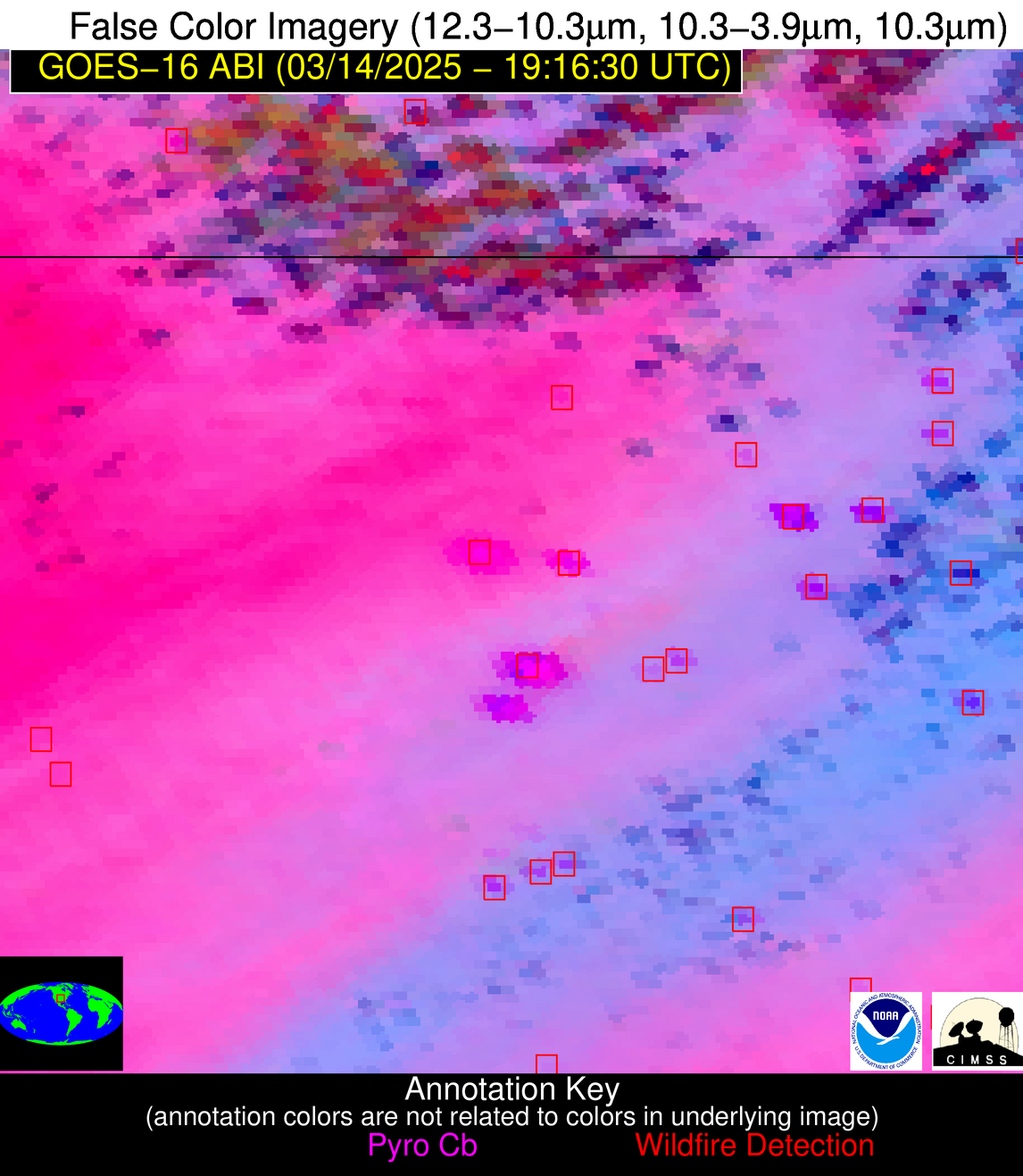
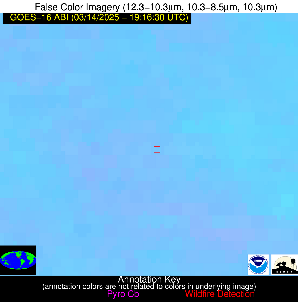
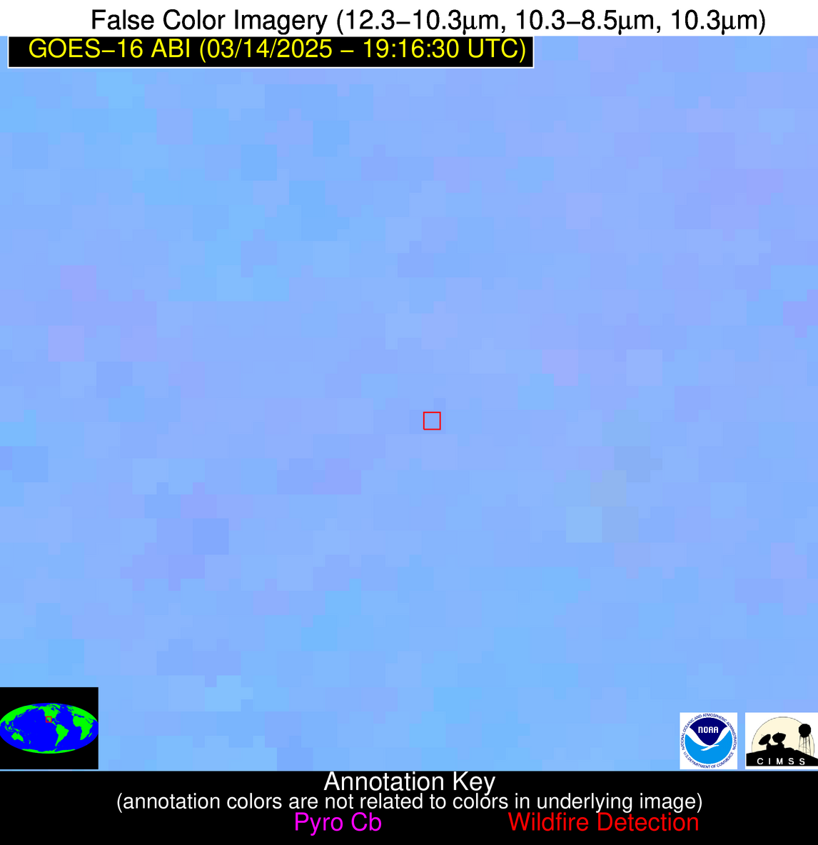
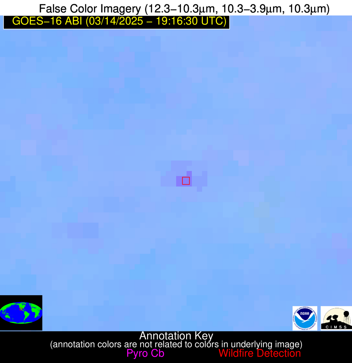
Wildfire Alert Report
| Date: | 2025-03-14 |
|---|---|
| Time: | 19:16:15 |
| Production Date and Time: | 2025-03-14 19:21:11 UTC |
| Primary Instrument: | GOES-16 ABI |
| Wmo Spacecraft Id: | 152 |
| Location/orbit: | GEO |
| L1 File: | OR_ABI-L1b-RadC-M6C14_G16_s20250731916155_e20250731918528_c20250731919026.nc |
| L1 File(s) - Temporal | OR_ABI-L1b-RadC-M6C14_G16_s20250731911155_e20250731913528_c20250731914017.nc |
| Number Of Thermal Anomaly Alerts: | 12 |
Possible Wildfire
| Basic Information | |
|---|---|
| State/Province(s) | SD |
| Country/Countries | United States |
| County/Locality(s) | Gregory County, SD |
| NWS WFO | Sioux Falls SD |
| Identification Method | Enhanced Contextual (Clear) |
| Mean Object Date/Time | 2025-03-14 19:16:48UTC |
| Radiative Center (Lat, Lon): | 43.006390°, -98.578331° |
| Nearby Counties (meeting alert criteria): |
|
| Total Radiative Power Anomaly | n/a |
| Total Radiative Power | 19.63 MW |
| Map: | |
| Additional Information | |
| Alert Status | New Feature |
| Type of Event | Nominal Risk |
| Event Priority Ranking | 4 |
| Maximum Observed BT (3.9 um) | 305.11 K |
| Observed - Background BT (3.9 um) | 1.98 K |
| BT Anomaly (3.9 um) | 1.31 K |
| Maximum Observed - Clear RTM BT (3.9 um) | 15.08 K |
| Maximum Observed BTD (3.9-10/11/12 um) | 13.49 K |
| Observed - Background BTD (3.9-10/11/12 um) | 2.28 K |
| BTD Anomaly (3.9-10/11/12 um) | 3.00 K |
| Similar Pixel Count | 25 |
| BT Time Tendency (3.9 um) | 2.80 K |
| Image Interval | 5.00 minutes |
| Fraction of Surrounding LWIR Pixels that are Colder | 0.56 |
| Fraction of Surrounding Red Channel Pixels that are Brighter | 0.99 |
| Maximum Radiative Power | 10.43 MW |
| Maximum Radiative Power Uncertainty | 0.00 MW |
| Total Radiative Power Uncertainty | 0.00 MW |
| Mean Viewing Angle | 55.20° |
| Mean Solar Zenith Angle | 46.60° |
| Mean Glint Angle | 92.30° |
| Water Fraction | 0.00 |
| Total Pixel Area | 14.00 km2 |
| Latest Satellite Imagery: | |
| View all event imagery » | |
Possible Wildfire
| Basic Information | |
|---|---|
| State/Province(s) | MO |
| Country/Countries | United States |
| County/Locality(s) | St. Clair County, MO |
| NWS WFO | Springfield MO |
| Identification Method | Enhanced Contextual (Clear) |
| Mean Object Date/Time | 2025-03-14 19:16:48UTC |
| Radiative Center (Lat, Lon): | 38.186111°, -93.516945° |
| Nearby Counties (meeting alert criteria): |
|
| Total Radiative Power Anomaly | n/a |
| Total Radiative Power | 46.06 MW |
| Map: | |
| Additional Information | |
| Alert Status | New Feature |
| Type of Event | Critical SPC Risk and Red Flag Warning |
| Event Priority Ranking | 1 |
| Maximum Observed BT (3.9 um) | 306.87 K |
| Observed - Background BT (3.9 um) | 5.05 K |
| BT Anomaly (3.9 um) | 2.93 K |
| Maximum Observed - Clear RTM BT (3.9 um) | 14.69 K |
| Maximum Observed BTD (3.9-10/11/12 um) | 14.71 K |
| Observed - Background BTD (3.9-10/11/12 um) | 5.79 K |
| BTD Anomaly (3.9-10/11/12 um) | 7.13 K |
| Similar Pixel Count | 2 |
| BT Time Tendency (3.9 um) | 3.70 K |
| Image Interval | 5.00 minutes |
| Fraction of Surrounding LWIR Pixels that are Colder | 0.21 |
| Fraction of Surrounding Red Channel Pixels that are Brighter | 1.00 |
| Maximum Radiative Power | 25.70 MW |
| Maximum Radiative Power Uncertainty | 0.00 MW |
| Total Radiative Power Uncertainty | 0.00 MW |
| Mean Viewing Angle | 48.40° |
| Mean Solar Zenith Angle | 42.90° |
| Mean Glint Angle | 81.80° |
| Water Fraction | 0.00 |
| Total Pixel Area | 12.10 km2 |
| Latest Satellite Imagery: | |
| View all event imagery » | |
Possible Wildfire
| Basic Information | |
|---|---|
| State/Province(s) | MO |
| Country/Countries | United States |
| County/Locality(s) | Camden County, MO |
| NWS WFO | Springfield MO |
| Identification Method | Enhanced Contextual (Clear) |
| Mean Object Date/Time | 2025-03-14 19:16:48UTC |
| Radiative Center (Lat, Lon): | 38.167221°, -92.997223° |
| Nearby Counties (meeting alert criteria): |
|
| Total Radiative Power Anomaly | n/a |
| Total Radiative Power | 25.66 MW |
| Map: | |
| Additional Information | |
| Alert Status | New Feature |
| Type of Event | Critical SPC Risk and Red Flag Warning |
| Event Priority Ranking | 1 |
| Maximum Observed BT (3.9 um) | 307.77 K |
| Observed - Background BT (3.9 um) | 2.86 K |
| BT Anomaly (3.9 um) | 3.10 K |
| Maximum Observed - Clear RTM BT (3.9 um) | 17.42 K |
| Maximum Observed BTD (3.9-10/11/12 um) | 11.90 K |
| Observed - Background BTD (3.9-10/11/12 um) | 3.42 K |
| BTD Anomaly (3.9-10/11/12 um) | 6.99 K |
| Similar Pixel Count | 22 |
| BT Time Tendency (3.9 um) | 1.40 K |
| Image Interval | 5.00 minutes |
| Fraction of Surrounding LWIR Pixels that are Colder | 0.27 |
| Fraction of Surrounding Red Channel Pixels that are Brighter | 1.00 |
| Maximum Radiative Power | 15.03 MW |
| Maximum Radiative Power Uncertainty | 0.00 MW |
| Total Radiative Power Uncertainty | 0.00 MW |
| Mean Viewing Angle | 48.20° |
| Mean Solar Zenith Angle | 43.10° |
| Mean Glint Angle | 81.70° |
| Water Fraction | 0.00 |
| Total Pixel Area | 12.00 km2 |
| Latest Satellite Imagery: | |
| View all event imagery » | |
Possible Wildfire
| Basic Information | |
|---|---|
| State/Province(s) | MO |
| Country/Countries | United States |
| County/Locality(s) | Camden County, MO |
| NWS WFO | Springfield MO |
| Identification Method | Enhanced Contextual (Clear) |
| Mean Object Date/Time | 2025-03-14 19:16:48UTC |
| Radiative Center (Lat, Lon): | 37.903889°, -92.996391° |
| Nearby Counties (meeting alert criteria): |
|
| Total Radiative Power Anomaly | n/a |
| Total Radiative Power | 41.02 MW |
| Map: | |
| Additional Information | |
| Alert Status | New Feature |
| Type of Event | Critical SPC Risk and Red Flag Warning |
| Event Priority Ranking | 1 |
| Maximum Observed BT (3.9 um) | 310.36 K |
| Observed - Background BT (3.9 um) | 5.45 K |
| BT Anomaly (3.9 um) | 7.31 K |
| Maximum Observed - Clear RTM BT (3.9 um) | 20.13 K |
| Maximum Observed BTD (3.9-10/11/12 um) | 13.32 K |
| Observed - Background BTD (3.9-10/11/12 um) | 5.05 K |
| BTD Anomaly (3.9-10/11/12 um) | 12.57 K |
| Similar Pixel Count | 6 |
| BT Time Tendency (3.9 um) | 4.50 K |
| Image Interval | 5.00 minutes |
| Fraction of Surrounding LWIR Pixels that are Colder | 0.75 |
| Fraction of Surrounding Red Channel Pixels that are Brighter | 1.00 |
| Maximum Radiative Power | 22.59 MW |
| Maximum Radiative Power Uncertainty | 0.00 MW |
| Total Radiative Power Uncertainty | 0.00 MW |
| Mean Viewing Angle | 47.90° |
| Mean Solar Zenith Angle | 42.80° |
| Mean Glint Angle | 81.20° |
| Water Fraction | 0.00 |
| Total Pixel Area | 11.90 km2 |
| Latest Satellite Imagery: | |
| View all event imagery » | |
Possible Wildfire
| Basic Information | |
|---|---|
| State/Province(s) | KS |
| Country/Countries | United States |
| County/Locality(s) | Harper County, KS |
| NWS WFO | Wichita KS |
| Identification Method | Enhanced Contextual (Cloud) |
| Mean Object Date/Time | 2025-03-14 19:16:48UTC |
| Radiative Center (Lat, Lon): | 37.339722°, -97.876114° |
| Nearby Counties (meeting alert criteria): |
|
| Total Radiative Power Anomaly | n/a |
| Total Radiative Power | 125.39 MW |
| Map: | |
| Additional Information | |
| Alert Status | New Feature |
| Type of Event | Critical SPC Risk and Red Flag Warning |
| Event Priority Ranking | 1 |
| Maximum Observed BT (3.9 um) | 309.63 K |
| Observed - Background BT (3.9 um) | 9.82 K |
| BT Anomaly (3.9 um) | 6.96 K |
| Maximum Observed - Clear RTM BT (3.9 um) | 20.26 K |
| Maximum Observed BTD (3.9-10/11/12 um) | 28.69 K |
| Observed - Background BTD (3.9-10/11/12 um) | 10.14 K |
| BTD Anomaly (3.9-10/11/12 um) | 6.43 K |
| Similar Pixel Count | 0 |
| BT Time Tendency (3.9 um) | 22.80 K |
| Image Interval | 5.00 minutes |
| Fraction of Surrounding LWIR Pixels that are Colder | 0.64 |
| Fraction of Surrounding Red Channel Pixels that are Brighter | 0.94 |
| Maximum Radiative Power | 125.39 MW |
| Maximum Radiative Power Uncertainty | 0.00 MW |
| Total Radiative Power Uncertainty | 0.00 MW |
| Mean Viewing Angle | 49.60° |
| Mean Solar Zenith Angle | 41.20° |
| Mean Glint Angle | 81.30° |
| Water Fraction | 0.00 |
| Total Pixel Area | 6.20 km2 |
| Latest Satellite Imagery: | |
| View all event imagery » | |
Possible Wildfire
| Basic Information | |
|---|---|
| State/Province(s) | OK |
| Country/Countries | United States |
| County/Locality(s) | Pontotoc County, OK |
| NWS WFO | Norman OK |
| Identification Method | Enhanced Contextual (Clear) |
| Mean Object Date/Time | 2025-03-14 19:17:18UTC |
| Radiative Center (Lat, Lon): | 34.860279°, -96.601387° |
| Nearby Counties (meeting alert criteria): |
|
| Total Radiative Power Anomaly | n/a |
| Total Radiative Power | 13.66 MW |
| Map: | |
| Additional Information | |
| Alert Status | New Feature |
| Type of Event | Extreme SPC Risk and Red Flag Warning |
| Event Priority Ranking | 1 |
| Maximum Observed BT (3.9 um) | 305.64 K |
| Observed - Background BT (3.9 um) | 3.41 K |
| BT Anomaly (3.9 um) | 5.22 K |
| Maximum Observed - Clear RTM BT (3.9 um) | 13.56 K |
| Maximum Observed BTD (3.9-10/11/12 um) | 16.37 K |
| Observed - Background BTD (3.9-10/11/12 um) | 2.73 K |
| BTD Anomaly (3.9-10/11/12 um) | 2.24 K |
| Similar Pixel Count | 25 |
| BT Time Tendency (3.9 um) | 3.00 K |
| Image Interval | 5.00 minutes |
| Fraction of Surrounding LWIR Pixels that are Colder | 0.82 |
| Fraction of Surrounding Red Channel Pixels that are Brighter | 1.00 |
| Maximum Radiative Power | 13.66 MW |
| Maximum Radiative Power Uncertainty | 0.00 MW |
| Total Radiative Power Uncertainty | 0.00 MW |
| Mean Viewing Angle | 46.60° |
| Mean Solar Zenith Angle | 39.00° |
| Mean Glint Angle | 76.00° |
| Water Fraction | 0.00 |
| Total Pixel Area | 5.80 km2 |
| Latest Satellite Imagery: | |
| View all event imagery » | |
Possible Wildfire
| Basic Information | |
|---|---|
| State/Province(s) | SC |
| Country/Countries | United States |
| County/Locality(s) | Charleston County, SC |
| NWS WFO | Charleston SC |
| Identification Method | Enhanced Contextual (Clear) |
| Mean Object Date/Time | 2025-03-14 19:17:20UTC |
| Radiative Center (Lat, Lon): | 33.133335°, -79.590279° |
| Nearby Counties (meeting alert criteria): |
|
| Total Radiative Power Anomaly | n/a |
| Total Radiative Power | 7.02 MW |
| Map: | |
| Additional Information | |
| Alert Status | New Feature |
| Type of Event | Nominal Risk |
| Event Priority Ranking | 4 |
| Maximum Observed BT (3.9 um) | 302.08 K |
| Observed - Background BT (3.9 um) | 3.26 K |
| BT Anomaly (3.9 um) | 2.54 K |
| Maximum Observed - Clear RTM BT (3.9 um) | 10.44 K |
| Maximum Observed BTD (3.9-10/11/12 um) | 8.59 K |
| Observed - Background BTD (3.9-10/11/12 um) | 2.44 K |
| BTD Anomaly (3.9-10/11/12 um) | 2.29 K |
| Similar Pixel Count | 11 |
| BT Time Tendency (3.9 um) | 0.30 K |
| Image Interval | 5.00 minutes |
| Fraction of Surrounding LWIR Pixels that are Colder | 0.89 |
| Fraction of Surrounding Red Channel Pixels that are Brighter | 1.00 |
| Maximum Radiative Power | 7.02 MW |
| Maximum Radiative Power Uncertainty | 0.00 MW |
| Total Radiative Power Uncertainty | 0.00 MW |
| Mean Viewing Angle | 39.00° |
| Mean Solar Zenith Angle | 44.30° |
| Mean Glint Angle | 74.60° |
| Water Fraction | 0.00 |
| Total Pixel Area | 5.10 km2 |
| Latest Satellite Imagery: | |
| View all event imagery » | |
Possible Wildfire
| Basic Information | |
|---|---|
| State/Province(s) | Coahuila de Zaragoza |
| Country/Countries | Mexico |
| County/Locality(s) | Múzquiz, Coahuila de Zaragoza |
| NWS WFO | N/A |
| Identification Method | Enhanced Contextual (Clear) |
| Mean Object Date/Time | 2025-03-14 19:17:47UTC |
| Radiative Center (Lat, Lon): | 28.001944°, -101.830833° |
| Nearby Counties (meeting alert criteria): |
|
| Total Radiative Power Anomaly | n/a |
| Total Radiative Power | 8.14 MW |
| Map: | |
| Additional Information | |
| Alert Status | New Feature |
| Type of Event | Nominal Risk |
| Event Priority Ranking | 4 |
| Maximum Observed BT (3.9 um) | 320.80 K |
| Observed - Background BT (3.9 um) | 3.64 K |
| BT Anomaly (3.9 um) | 2.58 K |
| Maximum Observed - Clear RTM BT (3.9 um) | 11.50 K |
| Maximum Observed BTD (3.9-10/11/12 um) | 7.58 K |
| Observed - Background BTD (3.9-10/11/12 um) | 1.78 K |
| BTD Anomaly (3.9-10/11/12 um) | 3.74 K |
| Similar Pixel Count | 24 |
| BT Time Tendency (3.9 um) | 0.50 K |
| Image Interval | 5.00 minutes |
| Fraction of Surrounding LWIR Pixels that are Colder | 0.64 |
| Fraction of Surrounding Red Channel Pixels that are Brighter | 1.00 |
| Maximum Radiative Power | 8.14 MW |
| Maximum Radiative Power Uncertainty | 0.00 MW |
| Total Radiative Power Uncertainty | 0.00 MW |
| Mean Viewing Angle | 44.00° |
| Mean Solar Zenith Angle | 31.40° |
| Mean Glint Angle | 65.60° |
| Water Fraction | 0.00 |
| Total Pixel Area | 5.60 km2 |
| Latest Satellite Imagery: | |
| View all event imagery » | |
Possible Wildfire
| Basic Information | |
|---|---|
| State/Province(s) | Chihuahua |
| Country/Countries | Mexico |
| County/Locality(s) | Guadalupe y Calvo, Chihuahua |
| NWS WFO | N/A |
| Identification Method | Enhanced Contextual (Cloud) |
| Mean Object Date/Time | 2025-03-14 19:17:46UTC |
| Radiative Center (Lat, Lon): | 26.000834°, -106.551109° |
| Nearby Counties (meeting alert criteria): |
|
| Total Radiative Power Anomaly | n/a |
| Total Radiative Power | 26.99 MW |
| Map: | |
| Additional Information | |
| Alert Status | New Feature |
| Type of Event | Nominal Risk |
| Event Priority Ranking | 4 |
| Maximum Observed BT (3.9 um) | 310.12 K |
| Observed - Background BT (3.9 um) | 7.98 K |
| BT Anomaly (3.9 um) | 5.91 K |
| Maximum Observed - Clear RTM BT (3.9 um) | 21.38 K |
| Maximum Observed BTD (3.9-10/11/12 um) | 14.32 K |
| Observed - Background BTD (3.9-10/11/12 um) | 7.56 K |
| BTD Anomaly (3.9-10/11/12 um) | 19.50 K |
| Similar Pixel Count | 0 |
| BT Time Tendency (3.9 um) | -4.20 K |
| Image Interval | 5.00 minutes |
| Fraction of Surrounding LWIR Pixels that are Colder | 0.68 |
| Fraction of Surrounding Red Channel Pixels that are Brighter | 1.00 |
| Maximum Radiative Power | 26.99 MW |
| Maximum Radiative Power Uncertainty | 0.00 MW |
| Total Radiative Power Uncertainty | 0.00 MW |
| Mean Viewing Angle | 46.30° |
| Mean Solar Zenith Angle | 29.00° |
| Mean Glint Angle | 66.40° |
| Water Fraction | 0.00 |
| Total Pixel Area | 5.80 km2 |
| Latest Satellite Imagery: | |
| View all event imagery » | |
Possible Wildfire
| Basic Information | |
|---|---|
| State/Province(s) | Tamaulipas |
| Country/Countries | Mexico |
| County/Locality(s) | Hidalgo, Tamaulipas |
| NWS WFO | N/A |
| Identification Method | Enhanced Contextual (Clear) |
| Mean Object Date/Time | 2025-03-14 19:18:17UTC |
| Radiative Center (Lat, Lon): | 24.174166°, -99.419441° |
| Nearby Counties (meeting alert criteria): |
|
| Total Radiative Power Anomaly | n/a |
| Total Radiative Power | 18.50 MW |
| Map: | |
| Additional Information | |
| Alert Status | New Feature |
| Type of Event | Nominal Risk |
| Event Priority Ranking | 4 |
| Maximum Observed BT (3.9 um) | 321.14 K |
| Observed - Background BT (3.9 um) | 1.81 K |
| BT Anomaly (3.9 um) | 1.01 K |
| Maximum Observed - Clear RTM BT (3.9 um) | 9.00 K |
| Maximum Observed BTD (3.9-10/11/12 um) | 7.83 K |
| Observed - Background BTD (3.9-10/11/12 um) | 1.64 K |
| BTD Anomaly (3.9-10/11/12 um) | 1.21 K |
| Similar Pixel Count | 19 |
| BT Time Tendency (3.9 um) | 1.10 K |
| Image Interval | 5.00 minutes |
| Fraction of Surrounding LWIR Pixels that are Colder | 0.74 |
| Fraction of Surrounding Red Channel Pixels that are Brighter | 0.98 |
| Maximum Radiative Power | 18.50 MW |
| Maximum Radiative Power Uncertainty | 0.00 MW |
| Total Radiative Power Uncertainty | 0.00 MW |
| Mean Viewing Angle | 39.30° |
| Mean Solar Zenith Angle | 28.10° |
| Mean Glint Angle | 56.70° |
| Water Fraction | 0.00 |
| Total Pixel Area | 10.30 km2 |
| Latest Satellite Imagery: | |
| View all event imagery » | |
Possible Wildfire
| Basic Information | |
|---|---|
| State/Province(s) | Unknown |
| Country/Countries | Cuba |
| County/Locality(s) | Unknown, Unknown |
| NWS WFO | N/A |
| Identification Method | Enhanced Contextual (Clear) |
| Mean Object Date/Time | 2025-03-14 19:18:20UTC |
| Radiative Center (Lat, Lon): | 22.209723°, -80.389725° |
| Nearby Counties (meeting alert criteria): |
|
| Total Radiative Power Anomaly | n/a |
| Total Radiative Power | 17.11 MW |
| Map: | |
| Additional Information | |
| Alert Status | New Feature |
| Type of Event | Nominal Risk |
| Event Priority Ranking | 4 |
| Maximum Observed BT (3.9 um) | 315.12 K |
| Observed - Background BT (3.9 um) | 3.44 K |
| BT Anomaly (3.9 um) | 1.31 K |
| Maximum Observed - Clear RTM BT (3.9 um) | 9.75 K |
| Maximum Observed BTD (3.9-10/11/12 um) | 19.72 K |
| Observed - Background BTD (3.9-10/11/12 um) | 3.77 K |
| BTD Anomaly (3.9-10/11/12 um) | 1.87 K |
| Similar Pixel Count | 25 |
| BT Time Tendency (3.9 um) | 0.80 K |
| Image Interval | 5.00 minutes |
| Fraction of Surrounding LWIR Pixels that are Colder | 0.67 |
| Fraction of Surrounding Red Channel Pixels that are Brighter | 0.99 |
| Maximum Radiative Power | 17.11 MW |
| Maximum Radiative Power Uncertainty | 0.00 MW |
| Total Radiative Power Uncertainty | 0.00 MW |
| Mean Viewing Angle | 26.80° |
| Mean Solar Zenith Angle | 36.00° |
| Mean Glint Angle | 53.20° |
| Water Fraction | 0.00 |
| Total Pixel Area | 4.50 km2 |
| Latest Satellite Imagery: | |
| View all event imagery » | |
Possible Wildfire
| Basic Information | |
|---|---|
| State/Province(s) | Tamaulipas |
| Country/Countries | Mexico |
| County/Locality(s) | Nuevo Morelos, Tamaulipas |
| NWS WFO | N/A |
| Identification Method | Enhanced Contextual (Clear) |
| Mean Object Date/Time | 2025-03-14 19:18:17UTC |
| Radiative Center (Lat, Lon): | 22.430555°, -99.174164° |
| Nearby Counties (meeting alert criteria): |
|
| Total Radiative Power Anomaly | n/a |
| Total Radiative Power | 39.77 MW |
| Map: | |
| Additional Information | |
| Alert Status | New Feature |
| Type of Event | Nominal Risk |
| Event Priority Ranking | 4 |
| Maximum Observed BT (3.9 um) | 325.83 K |
| Observed - Background BT (3.9 um) | 4.47 K |
| BT Anomaly (3.9 um) | 2.73 K |
| Maximum Observed - Clear RTM BT (3.9 um) | 15.93 K |
| Maximum Observed BTD (3.9-10/11/12 um) | 10.65 K |
| Observed - Background BTD (3.9-10/11/12 um) | 3.59 K |
| BTD Anomaly (3.9-10/11/12 um) | 3.05 K |
| Similar Pixel Count | 8 |
| BT Time Tendency (3.9 um) | 2.50 K |
| Image Interval | 5.00 minutes |
| Fraction of Surrounding LWIR Pixels that are Colder | 0.91 |
| Fraction of Surrounding Red Channel Pixels that are Brighter | 0.21 |
| Maximum Radiative Power | 21.72 MW |
| Maximum Radiative Power Uncertainty | 0.00 MW |
| Total Radiative Power Uncertainty | 0.00 MW |
| Mean Viewing Angle | 37.80° |
| Mean Solar Zenith Angle | 26.50° |
| Mean Glint Angle | 53.30° |
| Water Fraction | 0.00 |
| Total Pixel Area | 10.10 km2 |
| Latest Satellite Imagery: | |
| View all event imagery » | |
