Wildfire Alert Report
| Date: | 2025-03-14 |
|---|---|
| Time: | 18:35:53 |
| Production Date and Time: | 2025-03-14 18:36:34 UTC |
| Primary Instrument: | GOES-16 ABI |
| Wmo Spacecraft Id: | 152 |
| Location/orbit: | GEO |
| L1 File: | OR_ABI-L1b-RadM2-M6C14_G16_s20250731835534_e20250731835591_c20250731836050.nc |
| L1 File(s) - Temporal | OR_ABI-L1b-RadM2-M6C14_G16_s20250731834534_e20250731834591_c20250731835051.nc |
| Number Of Thermal Anomaly Alerts: | 2 |
Possible Wildfire
| Basic Information | |
|---|---|
| State/Province(s) | OK |
| Country/Countries | United States |
| County/Locality(s) | Pawnee County, OK |
| NWS WFO | Tulsa OK |
| Identification Method | Enhanced Contextual (Cloud) |
| Mean Object Date/Time | 2025-03-14 18:35:55UTC |
| Radiative Center (Lat, Lon): | 36.397221°, -96.805832° |
| Nearby Counties (meeting alert criteria): |
|
| Total Radiative Power Anomaly | n/a |
| Total Radiative Power | 23.12 MW |
| Map: | |
| Additional Information | |
| Alert Status | New Feature |
| Type of Event | Extreme SPC Risk and Red Flag Warning |
| Event Priority Ranking | 1 |
| Maximum Observed BT (3.9 um) | 308.51 K |
| Observed - Background BT (3.9 um) | 6.48 K |
| BT Anomaly (3.9 um) | 15.72 K |
| Maximum Observed - Clear RTM BT (3.9 um) | 15.79 K |
| Maximum Observed BTD (3.9-10/11/12 um) | 17.11 K |
| Observed - Background BTD (3.9-10/11/12 um) | 5.88 K |
| BTD Anomaly (3.9-10/11/12 um) | 7.37 K |
| Similar Pixel Count | 0 |
| BT Time Tendency (3.9 um) | 3.80 K |
| Image Interval | 1.00 minutes |
| Fraction of Surrounding LWIR Pixels that are Colder | 0.81 |
| Fraction of Surrounding Red Channel Pixels that are Brighter | 1.00 |
| Maximum Radiative Power | 23.12 MW |
| Maximum Radiative Power Uncertainty | 0.00 MW |
| Total Radiative Power Uncertainty | 0.00 MW |
| Mean Viewing Angle | 48.20° |
| Mean Solar Zenith Angle | 39.40° |
| Mean Glint Angle | 83.10° |
| Water Fraction | 0.00 |
| Total Pixel Area | 6.00 km2 |
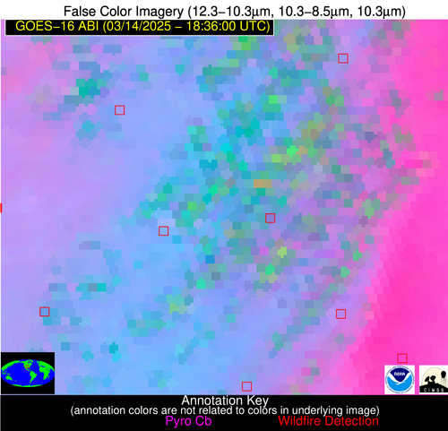
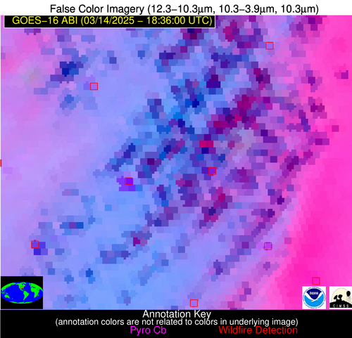
| Latest Satellite Imagery: | |
| View all event imagery » | |
Possible Wildfire
| Basic Information | |
|---|---|
| State/Province(s) | OK |
| Country/Countries | United States |
| County/Locality(s) | Creek County, OK |
| NWS WFO | Tulsa OK |
| Identification Method | Enhanced Contextual (Cloud) |
| Mean Object Date/Time | 2025-03-14 18:35:56UTC |
| Radiative Center (Lat, Lon): | 35.791943°, -96.193054° |
| Nearby Counties (meeting alert criteria): |
|
| Total Radiative Power Anomaly | n/a |
| Total Radiative Power | 39.84 MW |
| Map: | |
| Additional Information | |
| Alert Status | New Feature |
| Type of Event | Extreme SPC Risk and Red Flag Warning, Known Incident: STRIPES (HIGH, tdiff=0.59389 days, Point) |
| Event Priority Ranking | 1 |
| Maximum Observed BT (3.9 um) | 312.48 K |
| Observed - Background BT (3.9 um) | 9.79 K |
| BT Anomaly (3.9 um) | 19.58 K |
| Maximum Observed - Clear RTM BT (3.9 um) | 18.19 K |
| Maximum Observed BTD (3.9-10/11/12 um) | 22.24 K |
| Observed - Background BTD (3.9-10/11/12 um) | 8.75 K |
| BTD Anomaly (3.9-10/11/12 um) | 10.18 K |
| Similar Pixel Count | 0 |
| BT Time Tendency (3.9 um) | 4.00 K |
| Image Interval | 1.00 minutes |
| Fraction of Surrounding LWIR Pixels that are Colder | 0.98 |
| Fraction of Surrounding Red Channel Pixels that are Brighter | 1.00 |
| Maximum Radiative Power | 39.84 MW |
| Maximum Radiative Power Uncertainty | 0.00 MW |
| Total Radiative Power Uncertainty | 0.00 MW |
| Mean Viewing Angle | 47.30° |
| Mean Solar Zenith Angle | 38.80° |
| Mean Glint Angle | 81.60° |
| Water Fraction | 0.00 |
| Total Pixel Area | 5.90 km2 |
| Latest Satellite Imagery: | |
| View all event imagery » | |


