Wildfire Alert Report
| Date: | 2025-03-14 |
|---|---|
| Time: | 15:11:15 |
| Production Date and Time: | 2025-03-14 15:16:03 UTC |
| Primary Instrument: | GOES-16 ABI |
| Wmo Spacecraft Id: | 152 |
| Location/orbit: | GEO |
| L1 File: | OR_ABI-L1b-RadC-M6C14_G16_s20250731511155_e20250731513528_c20250731514021.nc |
| L1 File(s) - Temporal | OR_ABI-L1b-RadC-M6C14_G16_s20250731506155_e20250731508528_c20250731509022.nc |
| Number Of Thermal Anomaly Alerts: | 3 |
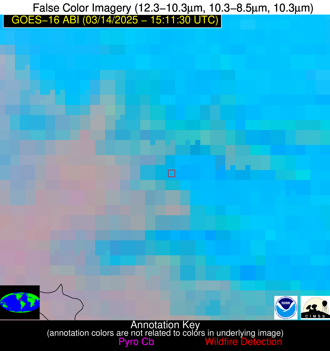
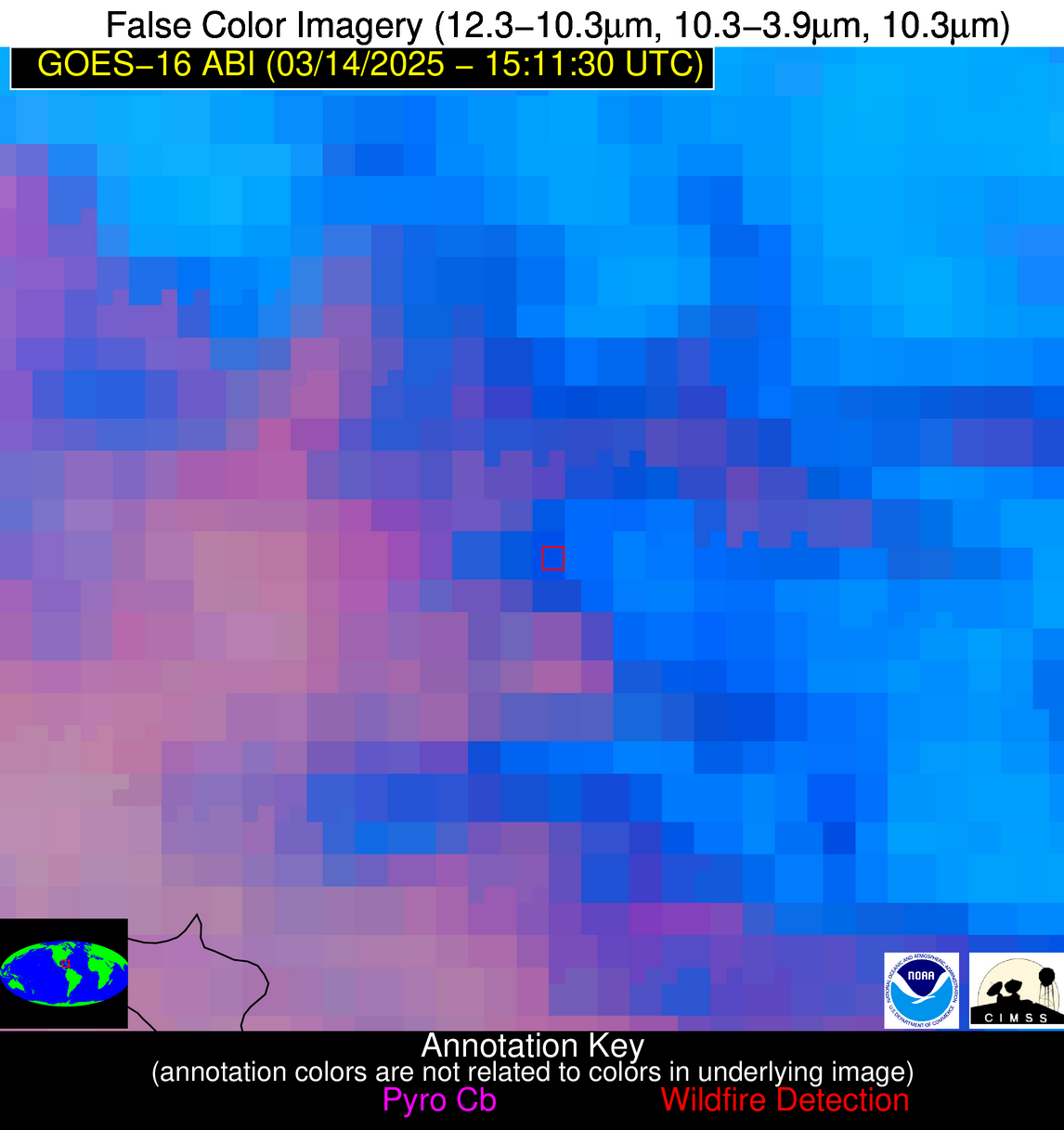
Possible Wildfire
| Basic Information | |
|---|---|
| State/Province(s) | OK |
| Country/Countries | United States |
| County/Locality(s) | McIntosh County, OK |
| NWS WFO | Tulsa OK |
| Identification Method | Enhanced Contextual (Clear) |
| Mean Object Date/Time | 2025-03-14 15:12:18UTC |
| Radiative Center (Lat, Lon): | 35.355278°, -95.900833° |
| Nearby Counties (meeting alert criteria): |
|
| Total Radiative Power Anomaly | n/a |
| Total Radiative Power | 6.11 MW |
| Map: | |
| Additional Information | |
| Alert Status | New Feature |
| Type of Event | Extreme SPC Risk and Red Flag Warning |
| Event Priority Ranking | 1 |
| Maximum Observed BT (3.9 um) | 299.36 K |
| Observed - Background BT (3.9 um) | 2.66 K |
| BT Anomaly (3.9 um) | 5.37 K |
| Maximum Observed - Clear RTM BT (3.9 um) | 8.37 K |
| Maximum Observed BTD (3.9-10/11/12 um) | 8.32 K |
| Observed - Background BTD (3.9-10/11/12 um) | 2.03 K |
| BTD Anomaly (3.9-10/11/12 um) | 6.98 K |
| Similar Pixel Count | 25 |
| BT Time Tendency (3.9 um) | 0.80 K |
| Image Interval | 5.00 minutes |
| Fraction of Surrounding LWIR Pixels that are Colder | 0.96 |
| Fraction of Surrounding Red Channel Pixels that are Brighter | 1.00 |
| Maximum Radiative Power | 6.11 MW |
| Maximum Radiative Power Uncertainty | 0.00 MW |
| Total Radiative Power Uncertainty | 0.00 MW |
| Mean Viewing Angle | 46.70° |
| Mean Solar Zenith Angle | 60.80° |
| Mean Glint Angle | 102.80° |
| Water Fraction | 0.00 |
| Total Pixel Area | 5.80 km2 |
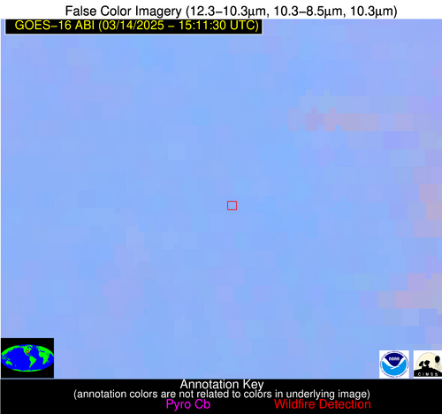
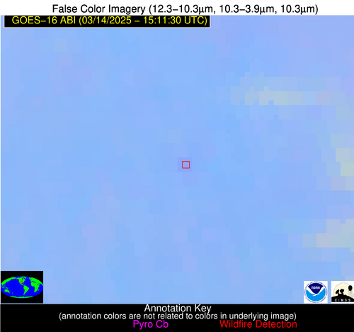
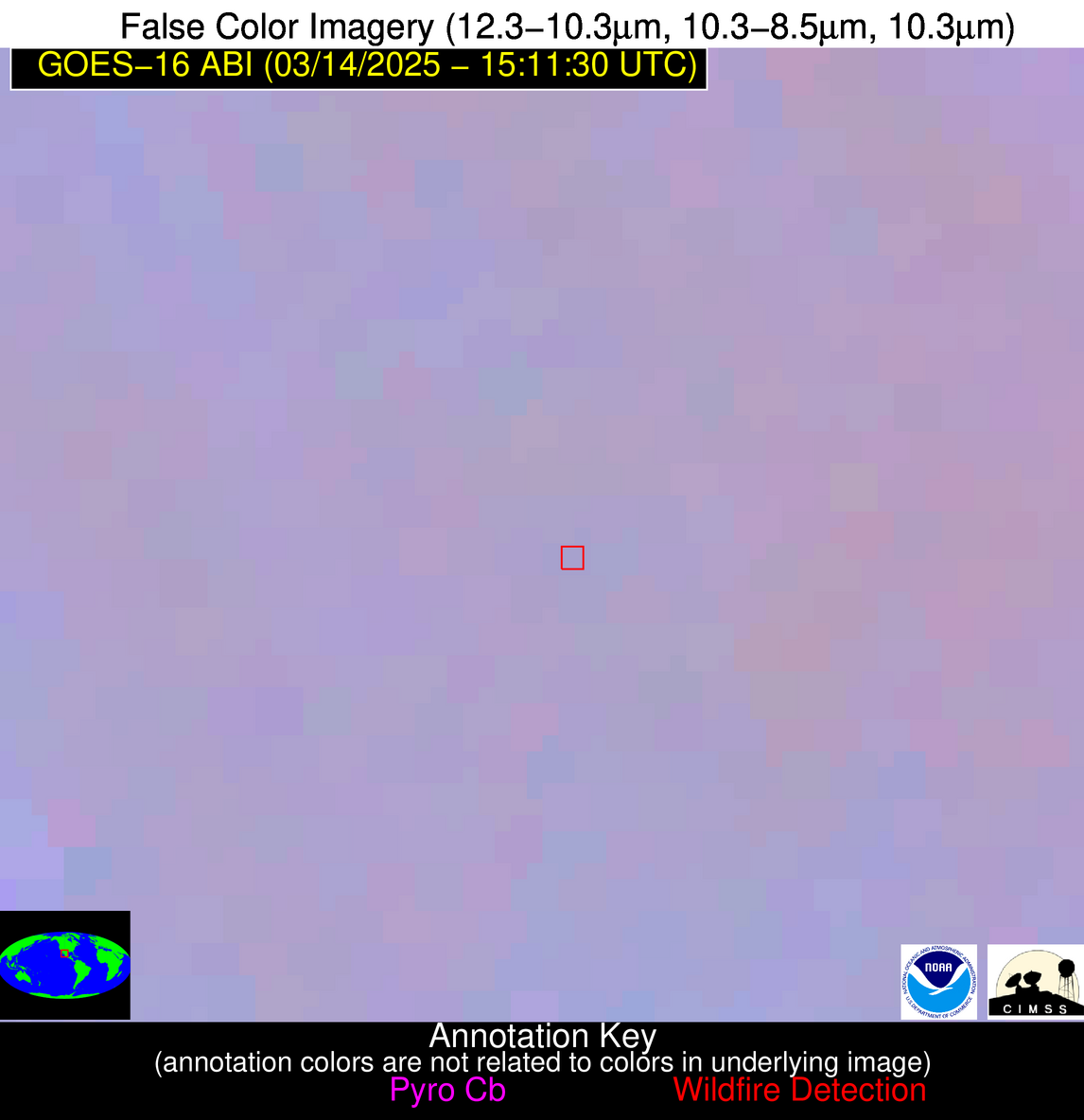
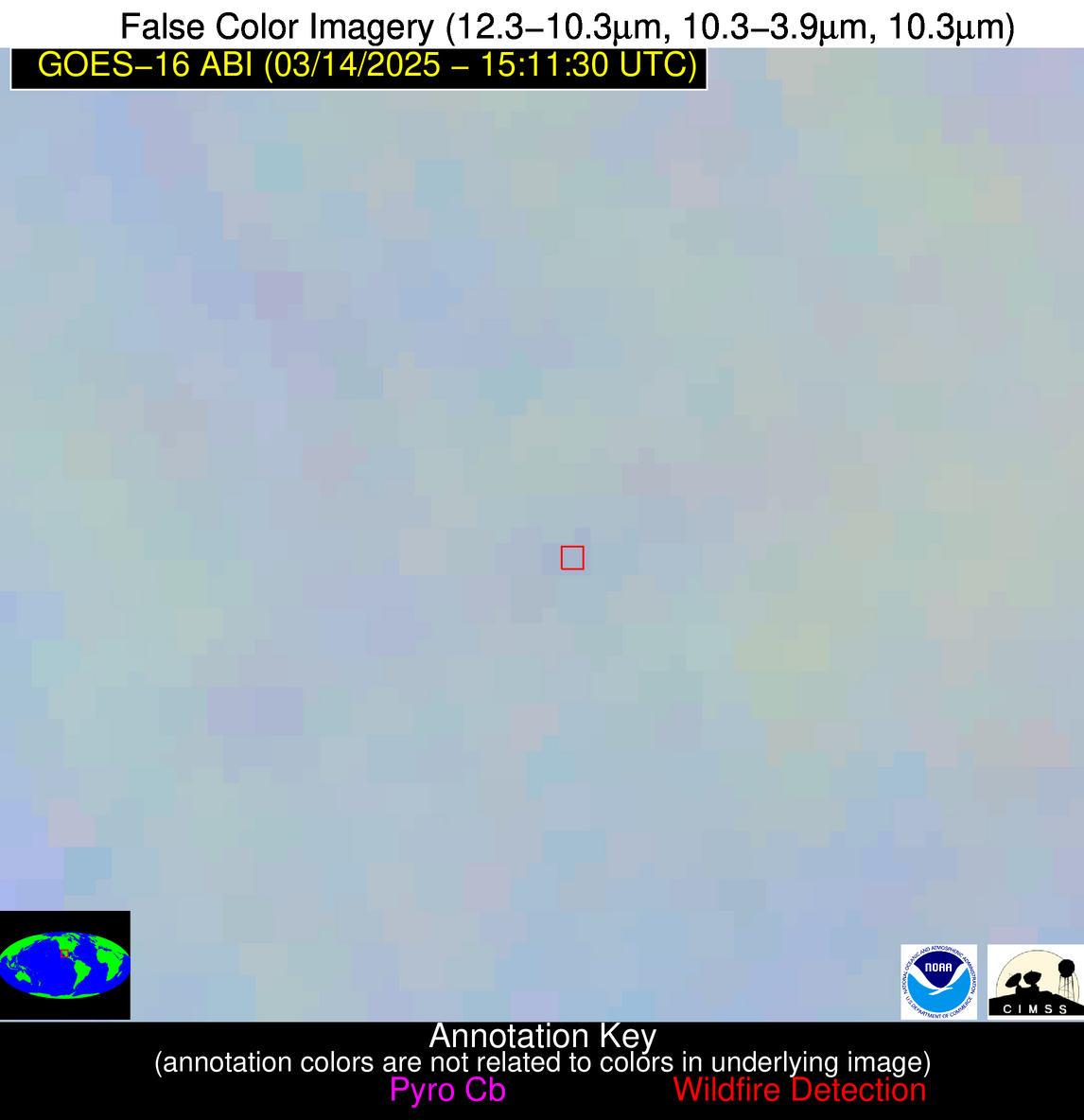
| Latest Satellite Imagery: | |
| View all event imagery » | |
Possible Wildfire
| Basic Information | |
|---|---|
| State/Province(s) | Chihuahua |
| Country/Countries | Mexico |
| County/Locality(s) | Guadalupe y Calvo, Chihuahua |
| NWS WFO | N/A |
| Identification Method | Enhanced Contextual (Cloud) |
| Mean Object Date/Time | 2025-03-14 15:12:46UTC |
| Radiative Center (Lat, Lon): | 26.000834°, -106.551109° |
| Nearby Counties (meeting alert criteria): |
|
| Total Radiative Power Anomaly | n/a |
| Total Radiative Power | 2.68 MW |
| Map: | |
| Additional Information | |
| Alert Status | New Feature |
| Type of Event | Nominal Risk |
| Event Priority Ranking | 4 |
| Maximum Observed BT (3.9 um) | 288.35 K |
| Observed - Background BT (3.9 um) | 1.66 K |
| BT Anomaly (3.9 um) | 1.31 K |
| Maximum Observed - Clear RTM BT (3.9 um) | 8.27 K |
| Maximum Observed BTD (3.9-10/11/12 um) | 5.89 K |
| Observed - Background BTD (3.9-10/11/12 um) | 1.56 K |
| BTD Anomaly (3.9-10/11/12 um) | 3.33 K |
| Similar Pixel Count | 0 |
| BT Time Tendency (3.9 um) | 0.60 K |
| Image Interval | 5.00 minutes |
| Fraction of Surrounding LWIR Pixels that are Colder | 0.53 |
| Fraction of Surrounding Red Channel Pixels that are Brighter | 1.00 |
| Maximum Radiative Power | 2.68 MW |
| Maximum Radiative Power Uncertainty | 0.00 MW |
| Total Radiative Power Uncertainty | 0.00 MW |
| Mean Viewing Angle | 46.30° |
| Mean Solar Zenith Angle | 65.80° |
| Mean Glint Angle | 109.70° |
| Water Fraction | 0.00 |
| Total Pixel Area | 5.80 km2 |
| Latest Satellite Imagery: | |
| View all event imagery » | |
Possible Wildfire
| Basic Information | |
|---|---|
| State/Province(s) | Unknown |
| Country/Countries | Cuba |
| County/Locality(s) | Unknown, Unknown |
| NWS WFO | N/A |
| Identification Method | Enhanced Contextual (Clear) |
| Mean Object Date/Time | 2025-03-14 15:13:20UTC |
| Radiative Center (Lat, Lon): | 22.372778°, -80.297775° |
| Nearby Counties (meeting alert criteria): |
|
| Total Radiative Power Anomaly | n/a |
| Total Radiative Power | 6.87 MW |
| Map: | |
| Additional Information | |
| Alert Status | New Feature |
| Type of Event | Nominal Risk |
| Event Priority Ranking | 4 |
| Maximum Observed BT (3.9 um) | 308.38 K |
| Observed - Background BT (3.9 um) | 3.30 K |
| BT Anomaly (3.9 um) | 1.86 K |
| Maximum Observed - Clear RTM BT (3.9 um) | 7.34 K |
| Maximum Observed BTD (3.9-10/11/12 um) | 25.07 K |
| Observed - Background BTD (3.9-10/11/12 um) | 3.34 K |
| BTD Anomaly (3.9-10/11/12 um) | 2.09 K |
| Similar Pixel Count | 25 |
| BT Time Tendency (3.9 um) | 1.20 K |
| Image Interval | 5.00 minutes |
| Fraction of Surrounding LWIR Pixels that are Colder | 0.65 |
| Fraction of Surrounding Red Channel Pixels that are Brighter | 0.83 |
| Maximum Radiative Power | 6.87 MW |
| Maximum Radiative Power Uncertainty | 0.00 MW |
| Total Radiative Power Uncertainty | 0.00 MW |
| Mean Viewing Angle | 26.90° |
| Mean Solar Zenith Angle | 42.40° |
| Mean Glint Angle | 63.80° |
| Water Fraction | 0.00 |
| Total Pixel Area | 4.50 km2 |
| Latest Satellite Imagery: | |
| View all event imagery » | |
