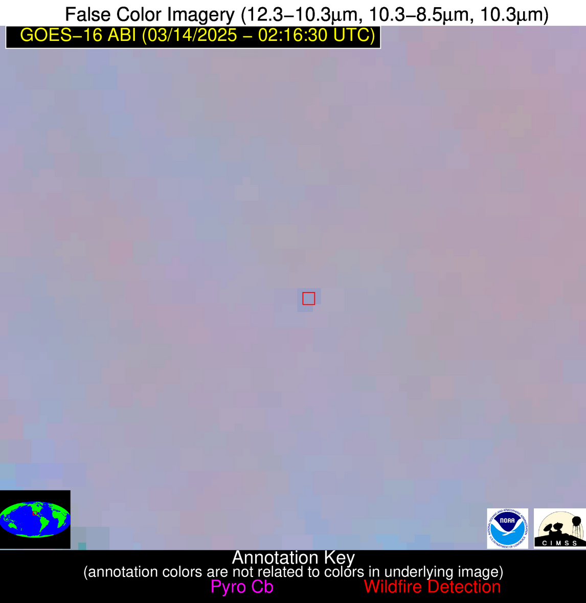
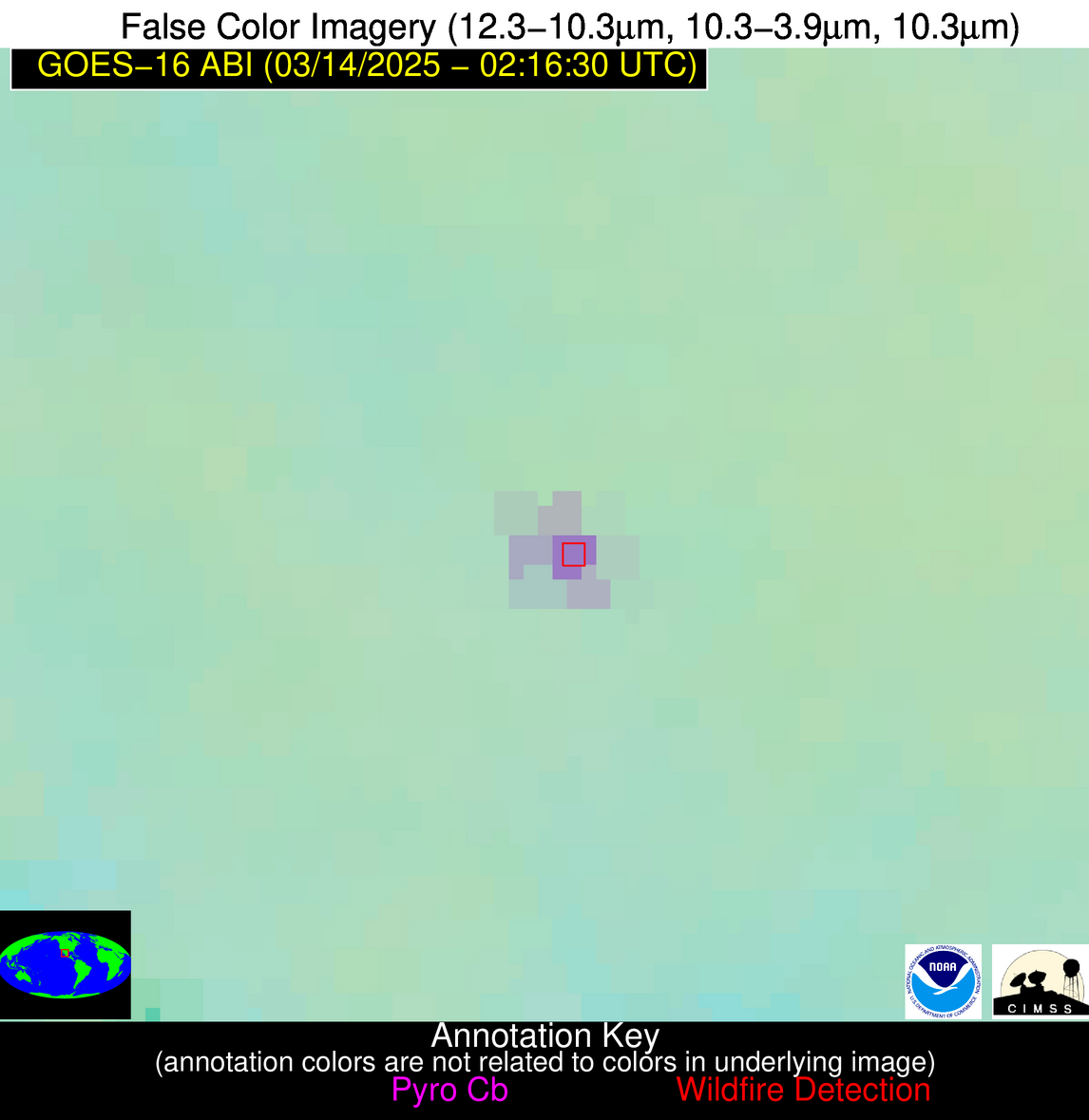
Wildfire Alert Report
| Date: | 2025-03-14 |
|---|---|
| Time: | 02:16:15 |
| Production Date and Time: | 2025-03-14 02:21:16 UTC |
| Primary Instrument: | GOES-16 ABI |
| Wmo Spacecraft Id: | 152 |
| Location/orbit: | GEO |
| L1 File: | OR_ABI-L1b-RadC-M6C14_G16_s20250730216155_e20250730218528_c20250730219020.nc |
| L1 File(s) - Temporal | OR_ABI-L1b-RadC-M6C14_G16_s20250730211155_e20250730213528_c20250730214021.nc |
| Number Of Thermal Anomaly Alerts: | 3 |
Possible Wildfire
| Basic Information | |
|---|---|
| State/Province(s) | IA |
| Country/Countries | United States |
| County/Locality(s) | Monroe County, IA |
| NWS WFO | Des Moines IA |
| Identification Method | Enhanced Contextual (Clear) |
| Mean Object Date/Time | 2025-03-14 02:16:49UTC |
| Radiative Center (Lat, Lon): | 41.128887°, -93.049446° |
| Nearby Counties (meeting alert criteria): |
|
| Total Radiative Power Anomaly | n/a |
| Total Radiative Power | 16.06 MW |
| Map: | |
| Additional Information | |
| Alert Status | New Feature |
| Type of Event | Nominal Risk |
| Event Priority Ranking | 4 |
| Maximum Observed BT (3.9 um) | 288.29 K |
| Observed - Background BT (3.9 um) | 7.80 K |
| BT Anomaly (3.9 um) | 11.88 K |
| Maximum Observed - Clear RTM BT (3.9 um) | 4.74 K |
| Maximum Observed BTD (3.9-10/11/12 um) | 13.51 K |
| Observed - Background BTD (3.9-10/11/12 um) | 7.77 K |
| BTD Anomaly (3.9-10/11/12 um) | 8.47 K |
| Similar Pixel Count | 8 |
| BT Time Tendency (3.9 um) | 7.40 K |
| Image Interval | 5.00 minutes |
| Fraction of Surrounding LWIR Pixels that are Colder | 0.54 |
| Fraction of Surrounding Red Channel Pixels that are Brighter | 1.00 |
| Maximum Radiative Power | 16.06 MW |
| Maximum Radiative Power Uncertainty | 0.00 MW |
| Total Radiative Power Uncertainty | 0.00 MW |
| Mean Viewing Angle | 51.20° |
| Mean Solar Zenith Angle | 113.30° |
| Mean Glint Angle | 75.90° |
| Water Fraction | 0.00 |
| Total Pixel Area | 6.40 km2 |
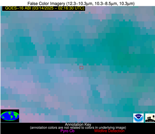
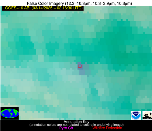
| Latest Satellite Imagery: | |
| View all event imagery » | |
Possible Wildfire
| Basic Information | |
|---|---|
| State/Province(s) | AR |
| Country/Countries | United States |
| County/Locality(s) | Randolph County, AR |
| NWS WFO | Little Rock AR |
| Identification Method | Enhanced Contextual (Cloud) |
| Mean Object Date/Time | 2025-03-14 02:16:49UTC |
| Radiative Center (Lat, Lon): | 36.469166°, -90.860001° |
| Nearby Counties (meeting alert criteria): |
|
| Total Radiative Power Anomaly | n/a |
| Total Radiative Power | 41.52 MW |
| Map: | |
| Additional Information | |
| Alert Status | New Feature |
| Type of Event | Nominal Risk |
| Event Priority Ranking | 4 |
| Maximum Observed BT (3.9 um) | 294.22 K |
| Observed - Background BT (3.9 um) | 14.50 K |
| BT Anomaly (3.9 um) | 24.69 K |
| Maximum Observed - Clear RTM BT (3.9 um) | 7.69 K |
| Maximum Observed BTD (3.9-10/11/12 um) | 22.10 K |
| Observed - Background BTD (3.9-10/11/12 um) | 14.13 K |
| BTD Anomaly (3.9-10/11/12 um) | 12.37 K |
| Similar Pixel Count | 0 |
| BT Time Tendency (3.9 um) | 9.70 K |
| Image Interval | 5.00 minutes |
| Fraction of Surrounding LWIR Pixels that are Colder | 0.94 |
| Fraction of Surrounding Red Channel Pixels that are Brighter | 1.00 |
| Maximum Radiative Power | 41.52 MW |
| Maximum Radiative Power Uncertainty | 0.00 MW |
| Total Radiative Power Uncertainty | 0.00 MW |
| Mean Viewing Angle | 45.60° |
| Mean Solar Zenith Angle | 116.30° |
| Mean Glint Angle | 83.10° |
| Water Fraction | 0.00 |
| Total Pixel Area | 5.70 km2 |
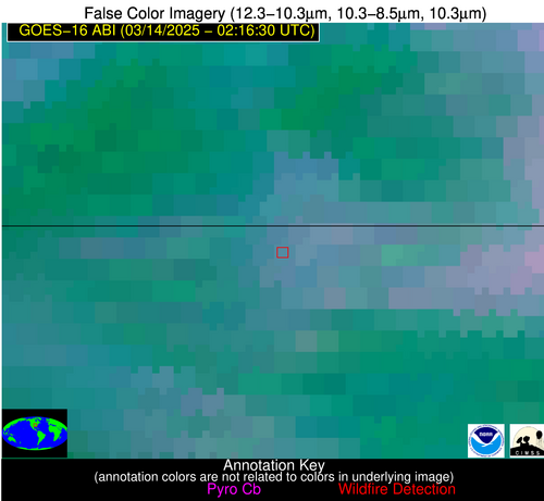
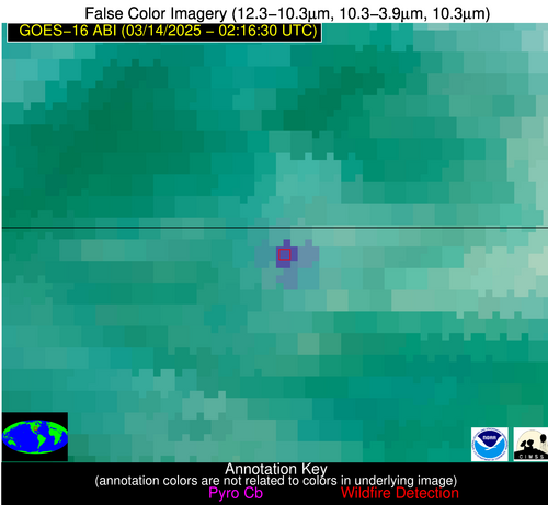
| Latest Satellite Imagery: | |
| View all event imagery » | |
Possible Wildfire
| Basic Information | |
|---|---|
| State/Province(s) | Chihuahua |
| Country/Countries | Mexico |
| County/Locality(s) | Guadalupe y Calvo, Chihuahua |
| NWS WFO | N/A |
| Identification Method | Enhanced Contextual (Bias) |
| Mean Object Date/Time | 2025-03-14 02:17:46UTC |
| Radiative Center (Lat, Lon): | 26.000834°, -106.551109° |
| Nearby Counties (meeting alert criteria): |
|
| Total Radiative Power Anomaly | n/a |
| Total Radiative Power | 63.01 MW |
| Map: | |
| Additional Information | |
| Alert Status | New Feature |
| Type of Event | Nominal Risk |
| Event Priority Ranking | 4 |
| Maximum Observed BT (3.9 um) | 294.68 K |
| Observed - Background BT (3.9 um) | 14.85 K |
| BT Anomaly (3.9 um) | 15.88 K |
| Maximum Observed - Clear RTM BT (3.9 um) | 16.04 K |
| Maximum Observed BTD (3.9-10/11/12 um) | 14.44 K |
| Observed - Background BTD (3.9-10/11/12 um) | 13.82 K |
| BTD Anomaly (3.9-10/11/12 um) | 76.60 K |
| Similar Pixel Count | 0 |
| BT Time Tendency (3.9 um) | -1.20 K |
| Image Interval | 5.00 minutes |
| Fraction of Surrounding LWIR Pixels that are Colder | 0.86 |
| Fraction of Surrounding Red Channel Pixels that are Brighter | 1.00 |
| Maximum Radiative Power | 63.01 MW |
| Maximum Radiative Power Uncertainty | 0.00 MW |
| Total Radiative Power Uncertainty | 0.00 MW |
| Mean Viewing Angle | 46.30° |
| Mean Solar Zenith Angle | 104.90° |
| Mean Glint Angle | 65.40° |
| Water Fraction | 0.00 |
| Total Pixel Area | 40.50 km2 |
| Latest Satellite Imagery: | |
| View all event imagery » | |
