Wildfire Alert Report
| Date: | 2025-03-13 |
|---|---|
| Time: | 18:02:56 |
| Production Date and Time: | 2025-03-13 18:03:37 UTC |
| Primary Instrument: | GOES-18 ABI |
| Wmo Spacecraft Id: | 665 |
| Location/orbit: | GEO |
| L1 File: | OR_ABI-L1b-RadM2-M6C14_G18_s20250721802565_e20250721803022_c20250721803084.nc |
| L1 File(s) - Temporal | OR_ABI-L1b-RadM2-M6C14_G18_s20250721801565_e20250721802022_c20250721802076.nc |
| Number Of Thermal Anomaly Alerts: | 2 |
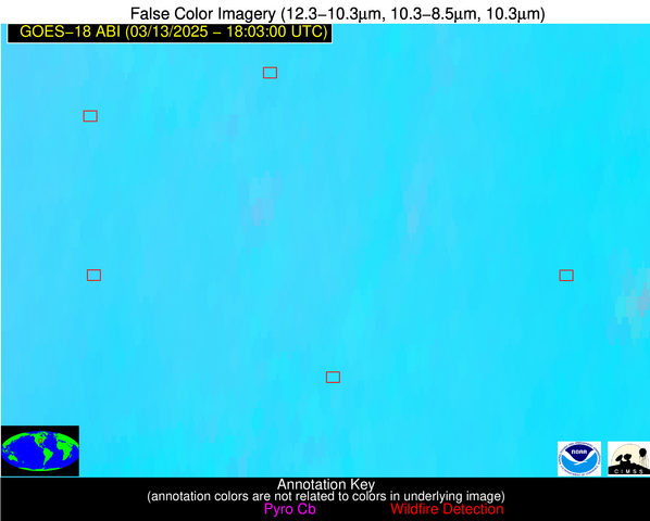
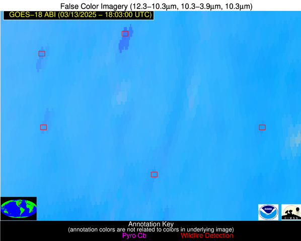
Possible Wildfire
| Basic Information | |
|---|---|
| State/Province(s) | MO |
| Country/Countries | United States |
| County/Locality(s) | Caldwell County, MO |
| NWS WFO | Kansas City/Pleasant Hill MO |
| Identification Method | Enhanced Contextual (Clear) |
| Mean Object Date/Time | 2025-03-13 18:02:59UTC |
| Radiative Center (Lat, Lon): | 39.526669°, -93.813614° |
| Nearby Counties (meeting alert criteria): |
|
| Total Radiative Power Anomaly | n/a |
| Total Radiative Power | 31.00 MW |
| Map: | |
| Additional Information | |
| Alert Status | New Feature |
| Type of Event | Nominal Risk |
| Event Priority Ranking | 4 |
| Maximum Observed BT (3.9 um) | 305.27 K |
| Observed - Background BT (3.9 um) | 2.81 K |
| BT Anomaly (3.9 um) | 3.15 K |
| Maximum Observed - Clear RTM BT (3.9 um) | 12.25 K |
| Maximum Observed BTD (3.9-10/11/12 um) | 11.52 K |
| Observed - Background BTD (3.9-10/11/12 um) | 2.56 K |
| BTD Anomaly (3.9-10/11/12 um) | 4.02 K |
| Similar Pixel Count | 25 |
| BT Time Tendency (3.9 um) | 1.90 K |
| Image Interval | 1.00 minutes |
| Fraction of Surrounding LWIR Pixels that are Colder | 0.56 |
| Fraction of Surrounding Red Channel Pixels that are Brighter | 1.00 |
| Maximum Radiative Power | 16.97 MW |
| Maximum Radiative Power Uncertainty | 0.00 MW |
| Total Radiative Power Uncertainty | 0.00 MW |
| Mean Viewing Angle | 64.00° |
| Mean Solar Zenith Angle | 43.20° |
| Mean Glint Angle | 87.20° |
| Water Fraction | 0.00 |
| Total Pixel Area | 18.20 km2 |
| Latest Satellite Imagery: | |
| View all event imagery » | |
Possible Wildfire
| Basic Information | |
|---|---|
| State/Province(s) | MO |
| Country/Countries | United States |
| County/Locality(s) | Monroe County, MO |
| NWS WFO | St Louis MO |
| Identification Method | Enhanced Contextual (Clear) |
| Mean Object Date/Time | 2025-03-13 18:02:59UTC |
| Radiative Center (Lat, Lon): | 39.526390°, -92.069725° |
| Nearby Counties (meeting alert criteria): |
|
| Total Radiative Power Anomaly | n/a |
| Total Radiative Power | 11.44 MW |
| Map: | |
| Additional Information | |
| Alert Status | New Feature |
| Type of Event | Nominal Risk |
| Event Priority Ranking | 4 |
| Maximum Observed BT (3.9 um) | 303.50 K |
| Observed - Background BT (3.9 um) | 2.02 K |
| BT Anomaly (3.9 um) | 2.23 K |
| Maximum Observed - Clear RTM BT (3.9 um) | 11.65 K |
| Maximum Observed BTD (3.9-10/11/12 um) | 12.56 K |
| Observed - Background BTD (3.9-10/11/12 um) | 2.08 K |
| BTD Anomaly (3.9-10/11/12 um) | 3.15 K |
| Similar Pixel Count | 25 |
| BT Time Tendency (3.9 um) | 1.80 K |
| Image Interval | 1.00 minutes |
| Fraction of Surrounding LWIR Pixels that are Colder | 0.43 |
| Fraction of Surrounding Red Channel Pixels that are Brighter | 1.00 |
| Maximum Radiative Power | 11.44 MW |
| Maximum Radiative Power Uncertainty | 0.00 MW |
| Total Radiative Power Uncertainty | 0.00 MW |
| Mean Viewing Angle | 65.20° |
| Mean Solar Zenith Angle | 43.10° |
| Mean Glint Angle | 88.50° |
| Water Fraction | 0.00 |
| Total Pixel Area | 9.50 km2 |
| Latest Satellite Imagery: | |
| View all event imagery » | |


