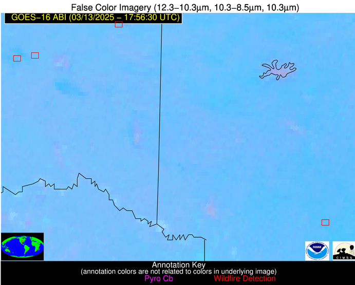
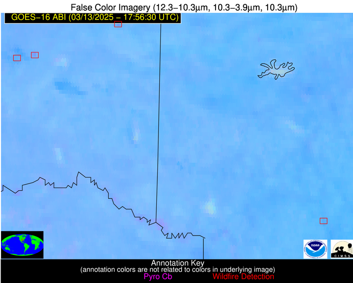
Wildfire Alert Report
| Date: | 2025-03-13 |
|---|---|
| Time: | 17:56:23 |
| Production Date and Time: | 2025-03-13 17:57:17 UTC |
| Primary Instrument: | GOES-16 ABI |
| Wmo Spacecraft Id: | 152 |
| Location/orbit: | GEO |
| L1 File: | OR_ABI-L1b-RadM1-M6C14_G16_s20250721756233_e20250721756291_c20250721756353.nc |
| L1 File(s) - Temporal | OR_ABI-L1b-RadM1-M6C14_G16_s20250721755233_e20250721755291_c20250721755354.nc |
| Number Of Thermal Anomaly Alerts: | 2 |
Possible Wildfire
| Basic Information | |
|---|---|
| State/Province(s) | OK |
| Country/Countries | United States |
| County/Locality(s) | Pittsburg County, OK |
| NWS WFO | Tulsa OK |
| Identification Method | Enhanced Contextual (Clear) |
| Mean Object Date/Time | 2025-03-13 17:56:28UTC |
| Radiative Center (Lat, Lon): | 34.701389°, -95.648056° |
| Nearby Counties (meeting alert criteria): |
|
| Total Radiative Power Anomaly | n/a |
| Total Radiative Power | 13.61 MW |
| Map: | |
| Additional Information | |
| Alert Status | New Feature |
| Type of Event | Nominal Risk |
| Event Priority Ranking | 4 |
| Maximum Observed BT (3.9 um) | 310.45 K |
| Observed - Background BT (3.9 um) | 3.71 K |
| BT Anomaly (3.9 um) | 2.63 K |
| Maximum Observed - Clear RTM BT (3.9 um) | 13.55 K |
| Maximum Observed BTD (3.9-10/11/12 um) | 10.25 K |
| Observed - Background BTD (3.9-10/11/12 um) | 3.33 K |
| BTD Anomaly (3.9-10/11/12 um) | 4.39 K |
| Similar Pixel Count | 10 |
| BT Time Tendency (3.9 um) | 1.40 K |
| Image Interval | 1.00 minutes |
| Fraction of Surrounding LWIR Pixels that are Colder | 0.63 |
| Fraction of Surrounding Red Channel Pixels that are Brighter | 1.00 |
| Maximum Radiative Power | 13.61 MW |
| Maximum Radiative Power Uncertainty | 0.00 MW |
| Total Radiative Power Uncertainty | 0.00 MW |
| Mean Viewing Angle | 46.00° |
| Mean Solar Zenith Angle | 39.00° |
| Mean Glint Angle | 83.70° |
| Water Fraction | 0.00 |
| Total Pixel Area | 5.80 km2 |
| Latest Satellite Imagery: | |
| View all event imagery » | |
Possible Wildfire
| Basic Information | |
|---|---|
| State/Province(s) | AR |
| Country/Countries | United States |
| County/Locality(s) | Ouachita County, AR |
| NWS WFO | Little Rock AR |
| Identification Method | Enhanced Contextual (Clear) |
| Mean Object Date/Time | 2025-03-13 17:56:29UTC |
| Radiative Center (Lat, Lon): | 33.658890°, -92.911110° |
| Nearby Counties (meeting alert criteria): |
|
| Total Radiative Power Anomaly | n/a |
| Total Radiative Power | 4.95 MW |
| Map: | |
| Additional Information | |
| Alert Status | New Feature |
| Type of Event | Nominal Risk |
| Event Priority Ranking | 4 |
| Maximum Observed BT (3.9 um) | 305.36 K |
| Observed - Background BT (3.9 um) | 2.43 K |
| BT Anomaly (3.9 um) | 1.91 K |
| Maximum Observed - Clear RTM BT (3.9 um) | 8.91 K |
| Maximum Observed BTD (3.9-10/11/12 um) | 9.12 K |
| Observed - Background BTD (3.9-10/11/12 um) | 2.04 K |
| BTD Anomaly (3.9-10/11/12 um) | 3.03 K |
| Similar Pixel Count | 25 |
| BT Time Tendency (3.9 um) | 0.80 K |
| Image Interval | 1.00 minutes |
| Fraction of Surrounding LWIR Pixels that are Colder | 0.69 |
| Fraction of Surrounding Red Channel Pixels that are Brighter | 1.00 |
| Maximum Radiative Power | 4.95 MW |
| Maximum Radiative Power Uncertainty | 0.00 MW |
| Total Radiative Power Uncertainty | 0.00 MW |
| Mean Viewing Angle | 43.70° |
| Mean Solar Zenith Angle | 37.50° |
| Mean Glint Angle | 79.80° |
| Water Fraction | 0.00 |
| Total Pixel Area | 5.50 km2 |
| Latest Satellite Imagery: | |
| View all event imagery » | |


