Jan 2026: Due to an ongoing data center cooling system construction project, NGFS data outages may occur with little or no notice.
Wildfire Alert Report
| Date: | 2025-03-13 |
|---|---|
| Time: | 16:37:56 |
| Production Date and Time: | 2025-03-13 16:38:35 UTC |
| Primary Instrument: | GOES-18 ABI |
| Wmo Spacecraft Id: | 665 |
| Location/orbit: | GEO |
| L1 File: | OR_ABI-L1b-RadM2-M6C14_G18_s20250721637565_e20250721638022_c20250721638089.nc |
| L1 File(s) - Temporal | OR_ABI-L1b-RadM2-M6C14_G18_s20250721636565_e20250721637022_c20250721637086.nc |
| Number Of Thermal Anomaly Alerts: | 3 |
Possible Wildfire
| Basic Information | |
|---|---|
| State/Province(s) | MO |
| Country/Countries | United States |
| County/Locality(s) | Harrison County, MO |
| NWS WFO | Kansas City/Pleasant Hill MO |
| Identification Method | Enhanced Contextual (Clear) |
| Mean Object Date/Time | 2025-03-13 16:37:59UTC |
| Radiative Center (Lat, Lon): | 40.293888°, -93.817223° |
| Nearby Counties (meeting alert criteria): |
|
| Total Radiative Power Anomaly | n/a |
| Total Radiative Power | 14.01 MW |
| Map: | |
| Additional Information | |
| Alert Status | New Feature |
| Type of Event | Nominal Risk |
| Event Priority Ranking | 4 |
| Maximum Observed BT (3.9 um) | 299.69 K |
| Observed - Background BT (3.9 um) | 2.93 K |
| BT Anomaly (3.9 um) | 5.16 K |
| Maximum Observed - Clear RTM BT (3.9 um) | 11.54 K |
| Maximum Observed BTD (3.9-10/11/12 um) | 9.68 K |
| Observed - Background BTD (3.9-10/11/12 um) | 2.89 K |
| BTD Anomaly (3.9-10/11/12 um) | 8.43 K |
| Similar Pixel Count | 25 |
| BT Time Tendency (3.9 um) | 1.70 K |
| Image Interval | 1.00 minutes |
| Fraction of Surrounding LWIR Pixels that are Colder | 0.49 |
| Fraction of Surrounding Red Channel Pixels that are Brighter | 1.00 |
| Maximum Radiative Power | 14.01 MW |
| Maximum Radiative Power Uncertainty | 0.00 MW |
| Total Radiative Power Uncertainty | 0.00 MW |
| Mean Viewing Angle | 64.40° |
| Mean Solar Zenith Angle | 50.10° |
| Mean Glint Angle | 72.90° |
| Water Fraction | 0.00 |
| Total Pixel Area | 9.30 km2 |
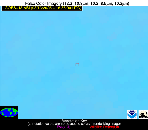
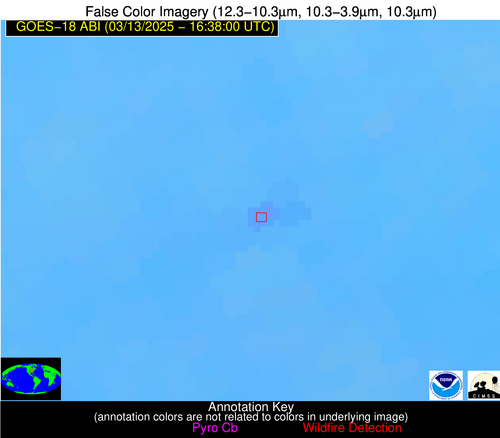
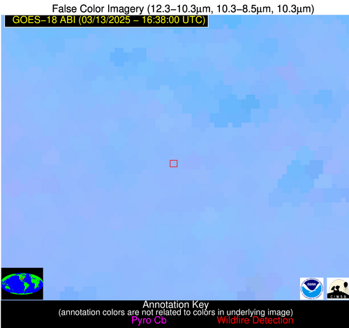
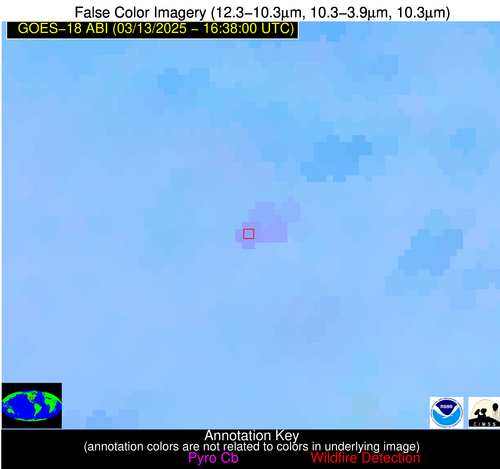
| Latest Satellite Imagery: | |
| View all event imagery » | |
Possible Wildfire
| Basic Information | |
|---|---|
| State/Province(s) | IL |
| Country/Countries | United States |
| County/Locality(s) | Menard County, IL |
| NWS WFO | Lincoln IL |
| Identification Method | Enhanced Contextual (Cloud) |
| Mean Object Date/Time | 2025-03-13 16:37:59UTC |
| Radiative Center (Lat, Lon): | 39.931110°, -89.767220° |
| Nearby Counties (meeting alert criteria): |
|
| Total Radiative Power Anomaly | n/a |
| Total Radiative Power | 133.34 MW |
| Map: | |
| Additional Information | |
| Alert Status | New Feature |
| Type of Event | Nominal Risk |
| Event Priority Ranking | 4 |
| Maximum Observed BT (3.9 um) | 313.66 K |
| Observed - Background BT (3.9 um) | 14.82 K |
| BT Anomaly (3.9 um) | 13.43 K |
| Maximum Observed - Clear RTM BT (3.9 um) | 24.65 K |
| Maximum Observed BTD (3.9-10/11/12 um) | 25.48 K |
| Observed - Background BTD (3.9-10/11/12 um) | 16.10 K |
| BTD Anomaly (3.9-10/11/12 um) | 25.16 K |
| Similar Pixel Count | 0 |
| BT Time Tendency (3.9 um) | 4.90 K |
| Image Interval | 1.00 minutes |
| Fraction of Surrounding LWIR Pixels that are Colder | 0.01 |
| Fraction of Surrounding Red Channel Pixels that are Brighter | 1.00 |
| Maximum Radiative Power | 133.34 MW |
| Maximum Radiative Power Uncertainty | 0.00 MW |
| Total Radiative Power Uncertainty | 0.00 MW |
| Mean Viewing Angle | 67.00° |
| Mean Solar Zenith Angle | 48.10° |
| Mean Glint Angle | 74.50° |
| Water Fraction | 0.00 |
| Total Pixel Area | 10.30 km2 |
| Latest Satellite Imagery: | |
| View all event imagery » | |
Possible Wildfire
| Basic Information | |
|---|---|
| State/Province(s) | OK |
| Country/Countries | United States |
| County/Locality(s) | Carter County, OK |
| NWS WFO | Norman OK |
| Identification Method | Enhanced Contextual (Clear) |
| Mean Object Date/Time | 2025-03-13 16:37:59UTC |
| Radiative Center (Lat, Lon): | 34.292221°, -97.223053° |
| Nearby Counties (meeting alert criteria): |
|
| Total Radiative Power Anomaly | n/a |
| Total Radiative Power | 39.19 MW |
| Map: | |
| Additional Information | |
| Alert Status | New Feature |
| Type of Event | Nominal Risk |
| Event Priority Ranking | 4 |
| Maximum Observed BT (3.9 um) | 303.24 K |
| Observed - Background BT (3.9 um) | 4.42 K |
| BT Anomaly (3.9 um) | 4.86 K |
| Maximum Observed - Clear RTM BT (3.9 um) | 8.01 K |
| Maximum Observed BTD (3.9-10/11/12 um) | 9.19 K |
| Observed - Background BTD (3.9-10/11/12 um) | 4.57 K |
| BTD Anomaly (3.9-10/11/12 um) | 9.34 K |
| Similar Pixel Count | 4 |
| BT Time Tendency (3.9 um) | 3.20 K |
| Image Interval | 1.00 minutes |
| Fraction of Surrounding LWIR Pixels that are Colder | 0.36 |
| Fraction of Surrounding Red Channel Pixels that are Brighter | 1.00 |
| Maximum Radiative Power | 21.46 MW |
| Maximum Radiative Power Uncertainty | 0.00 MW |
| Total Radiative Power Uncertainty | 0.00 MW |
| Mean Viewing Angle | 58.30° |
| Mean Solar Zenith Angle | 47.20° |
| Mean Glint Angle | 62.90° |
| Water Fraction | 0.00 |
| Total Pixel Area | 15.20 km2 |
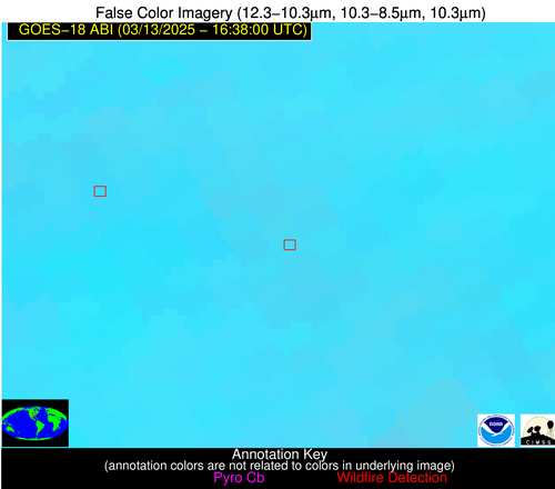
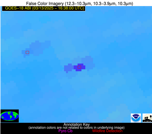
| Latest Satellite Imagery: | |
| View all event imagery » | |
