Wildfire Alert Report
| Date: | 2025-03-12 |
|---|---|
| Time: | 23:41:15 |
| Production Date and Time: | 2025-03-12 23:48:13 UTC |
| Primary Instrument: | GOES-16 ABI |
| Wmo Spacecraft Id: | 152 |
| Location/orbit: | GEO |
| L1 File: | OR_ABI-L1b-RadC-M6C14_G16_s20250712341154_e20250712343527_c20250712344023.nc |
| L1 File(s) - Temporal | OR_ABI-L1b-RadC-M6C14_G16_s20250712336154_e20250712338527_c20250712339019.nc |
| Number Of Thermal Anomaly Alerts: | 4 |
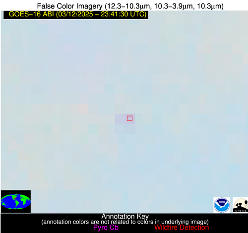
Possible Wildfire
| Basic Information | |
|---|---|
| State/Province(s) | IA |
| Country/Countries | United States |
| County/Locality(s) | Fayette County, IA |
| NWS WFO | La Crosse WI |
| Identification Method | Enhanced Contextual (Clear) |
| Mean Object Date/Time | 2025-03-12 23:41:49UTC |
| Radiative Center (Lat, Lon): | 42.820835°, -91.610275° |
| Nearby Counties (meeting alert criteria): |
|
| Total Radiative Power Anomaly | n/a |
| Total Radiative Power | 5.71 MW |
| Map: | |
| Additional Information | |
| Alert Status | New Feature |
| Type of Event | Nominal Risk |
| Event Priority Ranking | 4 |
| Maximum Observed BT (3.9 um) | 282.48 K |
| Observed - Background BT (3.9 um) | 3.64 K |
| BT Anomaly (3.9 um) | 8.33 K |
| Maximum Observed - Clear RTM BT (3.9 um) | 4.02 K |
| Maximum Observed BTD (3.9-10/11/12 um) | 4.67 K |
| Observed - Background BTD (3.9-10/11/12 um) | 3.34 K |
| BTD Anomaly (3.9-10/11/12 um) | 10.35 K |
| Similar Pixel Count | 1 |
| BT Time Tendency (3.9 um) | 2.20 K |
| Image Interval | 5.00 minutes |
| Fraction of Surrounding LWIR Pixels that are Colder | 0.72 |
| Fraction of Surrounding Red Channel Pixels that are Brighter | 1.00 |
| Maximum Radiative Power | 5.71 MW |
| Maximum Radiative Power Uncertainty | 0.00 MW |
| Total Radiative Power Uncertainty | 0.00 MW |
| Mean Viewing Angle | 52.40° |
| Mean Solar Zenith Angle | 86.20° |
| Mean Glint Angle | 76.10° |
| Water Fraction | 0.00 |
| Total Pixel Area | 6.60 km2 |
| Latest Satellite Imagery: | |
| View all event imagery » | |
Possible Wildfire
| Basic Information | |
|---|---|
| State/Province(s) | KY |
| Country/Countries | United States |
| County/Locality(s) | Breckinridge County, KY |
| NWS WFO | Louisville KY |
| Identification Method | Enhanced Contextual (Clear) |
| Mean Object Date/Time | 2025-03-12 23:41:49UTC |
| Radiative Center (Lat, Lon): | 37.742500°, -86.453888° |
| Nearby Counties (meeting alert criteria): |
|
| Total Radiative Power Anomaly | n/a |
| Total Radiative Power | 17.11 MW |
| Map: | |
| Additional Information | |
| Alert Status | New Feature |
| Type of Event | Nominal Risk |
| Event Priority Ranking | 4 |
| Maximum Observed BT (3.9 um) | 292.89 K |
| Observed - Background BT (3.9 um) | 6.93 K |
| BT Anomaly (3.9 um) | 7.99 K |
| Maximum Observed - Clear RTM BT (3.9 um) | 8.89 K |
| Maximum Observed BTD (3.9-10/11/12 um) | 9.07 K |
| Observed - Background BTD (3.9-10/11/12 um) | 8.12 K |
| BTD Anomaly (3.9-10/11/12 um) | 28.69 K |
| Similar Pixel Count | 1 |
| BT Time Tendency (3.9 um) | 6.70 K |
| Image Interval | 5.00 minutes |
| Fraction of Surrounding LWIR Pixels that are Colder | 0.03 |
| Fraction of Surrounding Red Channel Pixels that are Brighter | 1.00 |
| Maximum Radiative Power | 17.11 MW |
| Maximum Radiative Power Uncertainty | 0.00 MW |
| Total Radiative Power Uncertainty | 0.00 MW |
| Mean Viewing Angle | 45.50° |
| Mean Solar Zenith Angle | 89.40° |
| Mean Glint Angle | 80.60° |
| Water Fraction | 0.00 |
| Total Pixel Area | 5.70 km2 |
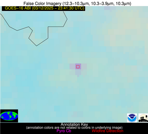
| Latest Satellite Imagery: | |
| View all event imagery » | |
Possible Wildfire
| Basic Information | |
|---|---|
| State/Province(s) | NC |
| Country/Countries | United States |
| County/Locality(s) | Cumberland County, NC |
| NWS WFO | Raleigh NC |
| Identification Method | Enhanced Contextual (Clear) |
| Mean Object Date/Time | 2025-03-12 23:42:20UTC |
| Radiative Center (Lat, Lon): | 34.896946°, -78.811943° |
| Nearby Counties (meeting alert criteria): |
|
| Total Radiative Power Anomaly | n/a |
| Total Radiative Power | 5.28 MW |
| Map: | |
| Additional Information | |
| Alert Status | New Feature |
| Type of Event | Nominal Risk |
| Event Priority Ranking | 4 |
| Maximum Observed BT (3.9 um) | 290.03 K |
| Observed - Background BT (3.9 um) | 2.36 K |
| BT Anomaly (3.9 um) | 2.99 K |
| Maximum Observed - Clear RTM BT (3.9 um) | 3.23 K |
| Maximum Observed BTD (3.9-10/11/12 um) | 2.83 K |
| Observed - Background BTD (3.9-10/11/12 um) | 2.85 K |
| BTD Anomaly (3.9-10/11/12 um) | 17.73 K |
| Similar Pixel Count | 2 |
| BT Time Tendency (3.9 um) | 2.70 K |
| Image Interval | 5.00 minutes |
| Fraction of Surrounding LWIR Pixels that are Colder | 0.27 |
| Fraction of Surrounding Red Channel Pixels that are Brighter | 1.00 |
| Maximum Radiative Power | 5.28 MW |
| Maximum Radiative Power Uncertainty | 0.00 MW |
| Total Radiative Power Uncertainty | 0.00 MW |
| Mean Viewing Angle | 40.90° |
| Mean Solar Zenith Angle | 95.40° |
| Mean Glint Angle | 90.60° |
| Water Fraction | 0.00 |
| Total Pixel Area | 5.30 km2 |
| Latest Satellite Imagery: | |
| View all event imagery » | |
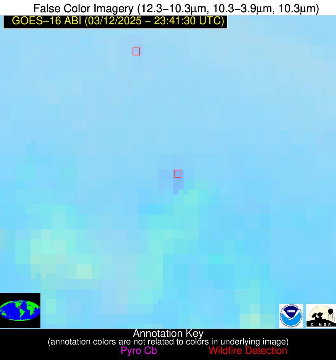
Possible Wildfire
| Basic Information | |
|---|---|
| State/Province(s) | Unknown |
| Country/Countries | Cuba |
| County/Locality(s) | Unknown, Unknown |
| NWS WFO | N/A |
| Identification Method | Enhanced Contextual (Clear) |
| Mean Object Date/Time | 2025-03-12 23:43:20UTC |
| Radiative Center (Lat, Lon): | 22.081667°, -79.511391° |
| Nearby Counties (meeting alert criteria): |
|
| Total Radiative Power Anomaly | n/a |
| Total Radiative Power | 14.81 MW |
| Map: | |
| Additional Information | |
| Alert Status | New Feature |
| Type of Event | Nominal Risk |
| Event Priority Ranking | 4 |
| Maximum Observed BT (3.9 um) | 297.16 K |
| Observed - Background BT (3.9 um) | 5.32 K |
| BT Anomaly (3.9 um) | 6.30 K |
| Maximum Observed - Clear RTM BT (3.9 um) | 5.78 K |
| Maximum Observed BTD (3.9-10/11/12 um) | 6.50 K |
| Observed - Background BTD (3.9-10/11/12 um) | 4.61 K |
| BTD Anomaly (3.9-10/11/12 um) | 9.44 K |
| Similar Pixel Count | 2 |
| BT Time Tendency (3.9 um) | 2.40 K |
| Image Interval | 5.00 minutes |
| Fraction of Surrounding LWIR Pixels that are Colder | 0.98 |
| Fraction of Surrounding Red Channel Pixels that are Brighter | 1.00 |
| Maximum Radiative Power | 8.29 MW |
| Maximum Radiative Power Uncertainty | 0.00 MW |
| Total Radiative Power Uncertainty | 0.00 MW |
| Mean Viewing Angle | 26.40° |
| Mean Solar Zenith Angle | 94.50° |
| Mean Glint Angle | 90.10° |
| Water Fraction | 0.00 |
| Total Pixel Area | 8.90 km2 |
| Latest Satellite Imagery: | |
| View all event imagery » | |
