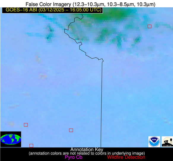
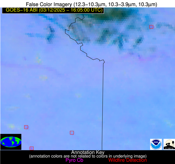
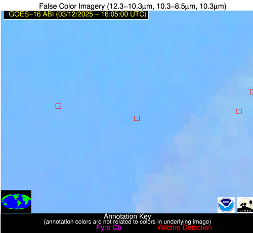
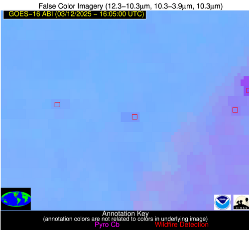
10 Jan 2026: Notice to users: ongoing data center construction may unexpectedly interrupt NGFS product generation.
Wildfire Alert Report
| Date: | 2025-03-12 |
|---|---|
| Time: | 16:04:53 |
| Production Date and Time: | 2025-03-12 16:05:52 UTC |
| Primary Instrument: | GOES-16 ABI |
| Wmo Spacecraft Id: | 152 |
| Location/orbit: | GEO |
| L1 File: | OR_ABI-L1b-RadM2-M6C14_G16_s20250711604533_e20250711604590_c20250711605045.nc |
| L1 File(s) - Temporal | OR_ABI-L1b-RadM2-M6C14_G16_s20250711603533_e20250711603590_c20250711604059.nc |
| Number Of Thermal Anomaly Alerts: | 4 |
Possible Wildfire
| Basic Information | |
|---|---|
| State/Province(s) | MO |
| Country/Countries | United States |
| County/Locality(s) | Caldwell County, MO |
| NWS WFO | Kansas City/Pleasant Hill MO |
| Identification Method | Enhanced Contextual (Clear) |
| Mean Object Date/Time | 2025-03-12 16:04:55UTC |
| Radiative Center (Lat, Lon): | 39.619167°, -93.969444° |
| Nearby Counties (meeting alert criteria): |
|
| Total Radiative Power Anomaly | n/a |
| Total Radiative Power | 14.00 MW |
| Map: | |
| Additional Information | |
| Alert Status | New Feature |
| Type of Event | Nominal Risk |
| Event Priority Ranking | 4 |
| Maximum Observed BT (3.9 um) | 300.67 K |
| Observed - Background BT (3.9 um) | 4.04 K |
| BT Anomaly (3.9 um) | 5.03 K |
| Maximum Observed - Clear RTM BT (3.9 um) | 13.21 K |
| Maximum Observed BTD (3.9-10/11/12 um) | 15.40 K |
| Observed - Background BTD (3.9-10/11/12 um) | 4.40 K |
| BTD Anomaly (3.9-10/11/12 um) | 4.11 K |
| Similar Pixel Count | 18 |
| BT Time Tendency (3.9 um) | 0.30 K |
| Image Interval | 1.00 minutes |
| Fraction of Surrounding LWIR Pixels that are Colder | 0.31 |
| Fraction of Surrounding Red Channel Pixels that are Brighter | 1.00 |
| Maximum Radiative Power | 14.00 MW |
| Maximum Radiative Power Uncertainty | 0.00 MW |
| Total Radiative Power Uncertainty | 0.00 MW |
| Mean Viewing Angle | 50.00° |
| Mean Solar Zenith Angle | 54.20° |
| Mean Glint Angle | 102.50° |
| Water Fraction | 0.00 |
| Total Pixel Area | 6.20 km2 |
| Latest Satellite Imagery: | |
| View all event imagery » | |
Possible Wildfire
| Basic Information | |
|---|---|
| State/Province(s) | KS |
| Country/Countries | United States |
| County/Locality(s) | Coffey County, KS |
| NWS WFO | Topeka KS |
| Identification Method | Enhanced Contextual (Clear) |
| Mean Object Date/Time | 2025-03-12 16:04:55UTC |
| Radiative Center (Lat, Lon): | 38.238888°, -95.614166° |
| Nearby Counties (meeting alert criteria): |
|
| Total Radiative Power Anomaly | n/a |
| Total Radiative Power | 34.64 MW |
| Map: | |
| Additional Information | |
| Alert Status | New Feature |
| Type of Event | Nominal Risk |
| Event Priority Ranking | 4 |
| Maximum Observed BT (3.9 um) | 306.37 K |
| Observed - Background BT (3.9 um) | 5.56 K |
| BT Anomaly (3.9 um) | 7.95 K |
| Maximum Observed - Clear RTM BT (3.9 um) | 15.42 K |
| Maximum Observed BTD (3.9-10/11/12 um) | 13.19 K |
| Observed - Background BTD (3.9-10/11/12 um) | 5.11 K |
| BTD Anomaly (3.9-10/11/12 um) | 15.54 K |
| Similar Pixel Count | 6 |
| BT Time Tendency (3.9 um) | 3.30 K |
| Image Interval | 1.00 minutes |
| Fraction of Surrounding LWIR Pixels that are Colder | 0.88 |
| Fraction of Surrounding Red Channel Pixels that are Brighter | 0.99 |
| Maximum Radiative Power | 18.28 MW |
| Maximum Radiative Power Uncertainty | 0.00 MW |
| Total Radiative Power Uncertainty | 0.00 MW |
| Mean Viewing Angle | 49.40° |
| Mean Solar Zenith Angle | 54.10° |
| Mean Glint Angle | 102.00° |
| Water Fraction | 0.00 |
| Total Pixel Area | 12.30 km2 |
| Latest Satellite Imagery: | |
| View all event imagery » | |
Possible Wildfire
| Basic Information | |
|---|---|
| State/Province(s) | KS |
| Country/Countries | United States |
| County/Locality(s) | Linn County, KS |
| NWS WFO | Kansas City/Pleasant Hill MO |
| Identification Method | Enhanced Contextual (Clear) |
| Mean Object Date/Time | 2025-03-12 16:04:55UTC |
| Radiative Center (Lat, Lon): | 38.162777°, -95.012779° |
| Nearby Counties (meeting alert criteria): |
|
| Total Radiative Power Anomaly | n/a |
| Total Radiative Power | 9.93 MW |
| Map: | |
| Additional Information | |
| Alert Status | New Feature |
| Type of Event | Nominal Risk |
| Event Priority Ranking | 4 |
| Maximum Observed BT (3.9 um) | 304.39 K |
| Observed - Background BT (3.9 um) | 3.52 K |
| BT Anomaly (3.9 um) | 6.41 K |
| Maximum Observed - Clear RTM BT (3.9 um) | 14.24 K |
| Maximum Observed BTD (3.9-10/11/12 um) | 10.84 K |
| Observed - Background BTD (3.9-10/11/12 um) | 2.92 K |
| BTD Anomaly (3.9-10/11/12 um) | 9.89 K |
| Similar Pixel Count | 25 |
| BT Time Tendency (3.9 um) | 1.10 K |
| Image Interval | 1.00 minutes |
| Fraction of Surrounding LWIR Pixels that are Colder | 0.95 |
| Fraction of Surrounding Red Channel Pixels that are Brighter | 1.00 |
| Maximum Radiative Power | 9.93 MW |
| Maximum Radiative Power Uncertainty | 0.00 MW |
| Total Radiative Power Uncertainty | 0.00 MW |
| Mean Viewing Angle | 49.00° |
| Mean Solar Zenith Angle | 53.70° |
| Mean Glint Angle | 101.20° |
| Water Fraction | 0.00 |
| Total Pixel Area | 6.10 km2 |
| Latest Satellite Imagery: | |
| View all event imagery » | |
Possible Wildfire
| Basic Information | |
|---|---|
| State/Province(s) | AR |
| Country/Countries | United States |
| County/Locality(s) | Lawrence County, AR |
| NWS WFO | Little Rock AR |
| Identification Method | Enhanced Contextual (Clear) |
| Mean Object Date/Time | 2025-03-12 16:04:56UTC |
| Radiative Center (Lat, Lon): | 36.076668°, -91.279724° |
| Nearby Counties (meeting alert criteria): |
|
| Total Radiative Power Anomaly | n/a |
| Total Radiative Power | 17.95 MW |
| Map: | |
| Additional Information | |
| Alert Status | New Feature |
| Type of Event | Nominal Risk |
| Event Priority Ranking | 4 |
| Maximum Observed BT (3.9 um) | 302.47 K |
| Observed - Background BT (3.9 um) | 3.09 K |
| BT Anomaly (3.9 um) | 4.10 K |
| Maximum Observed - Clear RTM BT (3.9 um) | 12.56 K |
| Maximum Observed BTD (3.9-10/11/12 um) | 10.63 K |
| Observed - Background BTD (3.9-10/11/12 um) | 2.70 K |
| BTD Anomaly (3.9-10/11/12 um) | 2.79 K |
| Similar Pixel Count | 25 |
| BT Time Tendency (3.9 um) | 1.40 K |
| Image Interval | 1.00 minutes |
| Fraction of Surrounding LWIR Pixels that are Colder | 0.66 |
| Fraction of Surrounding Red Channel Pixels that are Brighter | 1.00 |
| Maximum Radiative Power | 9.89 MW |
| Maximum Radiative Power Uncertainty | 0.00 MW |
| Total Radiative Power Uncertainty | 0.00 MW |
| Mean Viewing Angle | 45.40° |
| Mean Solar Zenith Angle | 50.20° |
| Mean Glint Angle | 93.90° |
| Water Fraction | 0.00 |
| Total Pixel Area | 11.40 km2 |
| Latest Satellite Imagery: | |
| View all event imagery » | |


