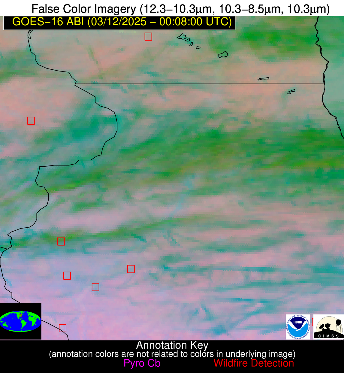
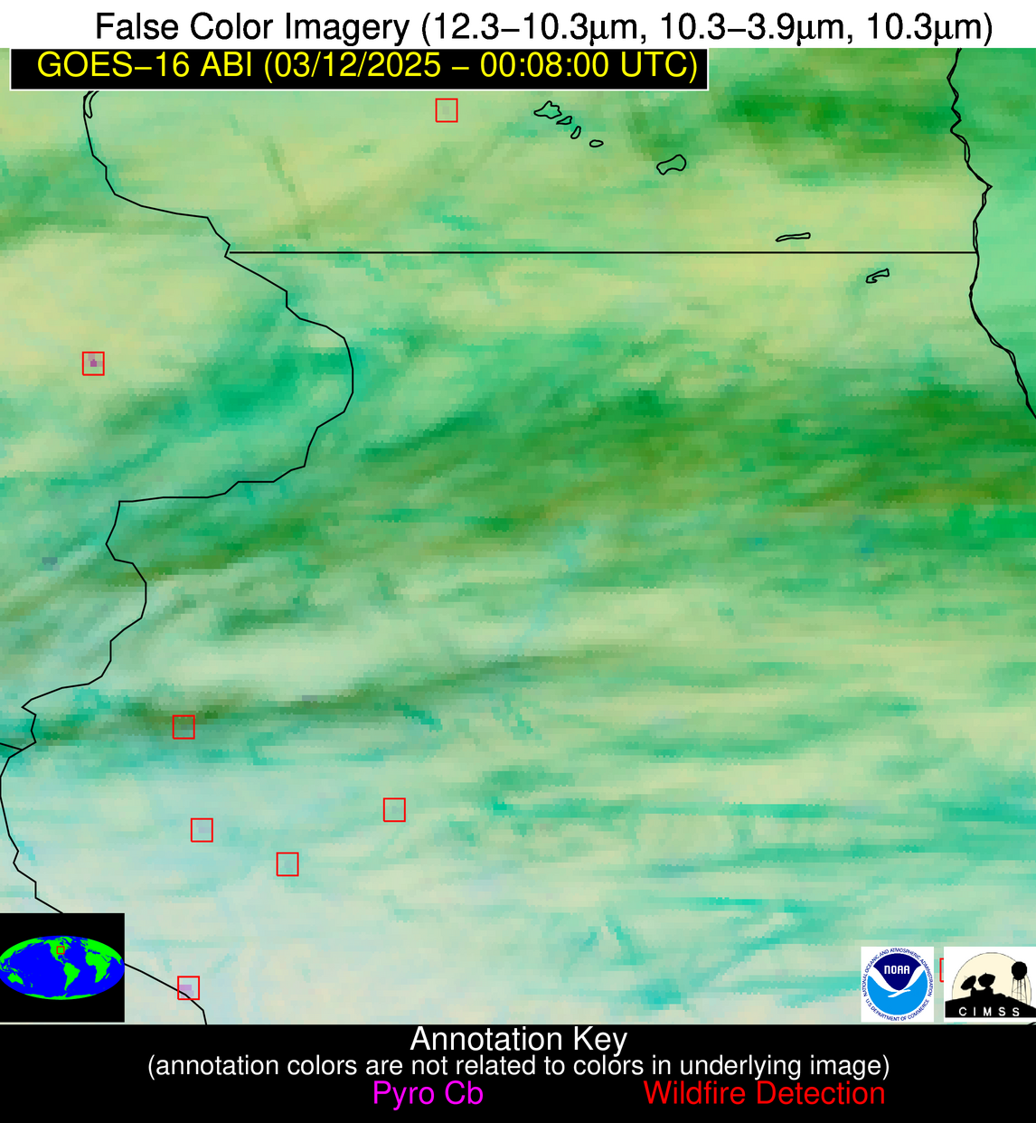
Wildfire Alert Report
| Date: | 2025-03-12 |
|---|---|
| Time: | 00:07:53 |
| Production Date and Time: | 2025-03-12 00:08:37 UTC |
| Primary Instrument: | GOES-16 ABI |
| Wmo Spacecraft Id: | 152 |
| Location/orbit: | GEO |
| L1 File: | OR_ABI-L1b-RadM2-M6C14_G16_s20250710007532_e20250710007590_c20250710008044.nc |
| L1 File(s) - Temporal | OR_ABI-L1b-RadM2-M6C14_G16_s20250710005532_e20250710005590_c20250710006053.nc |
| Number Of Thermal Anomaly Alerts: | 5 |
Possible Wildfire
| Basic Information | |
|---|---|
| State/Province(s) | WI |
| Country/Countries | United States |
| County/Locality(s) | Dane County, WI |
| NWS WFO | Milwaukee/Sullivan WI |
| Identification Method | Enhanced Contextual (Clear) |
| Mean Object Date/Time | 2025-03-12 00:07:55UTC |
| Radiative Center (Lat, Lon): | 43.110001°, -89.811668° |
| Nearby Counties (meeting alert criteria): |
|
| Total Radiative Power Anomaly | n/a |
| Total Radiative Power | 2.81 MW |
| Map: | |
| Additional Information | |
| Alert Status | New Feature |
| Type of Event | Nominal Risk |
| Event Priority Ranking | 4 |
| Maximum Observed BT (3.9 um) | 274.72 K |
| Observed - Background BT (3.9 um) | 2.29 K |
| BT Anomaly (3.9 um) | 4.46 K |
| Maximum Observed - Clear RTM BT (3.9 um) | 0.76 K |
| Maximum Observed BTD (3.9-10/11/12 um) | 3.58 K |
| Observed - Background BTD (3.9-10/11/12 um) | 2.17 K |
| BTD Anomaly (3.9-10/11/12 um) | 5.28 K |
| Similar Pixel Count | 1 |
| BT Time Tendency (3.9 um) | 1.20 K |
| Image Interval | 2.00 minutes |
| Fraction of Surrounding LWIR Pixels that are Colder | 0.61 |
| Fraction of Surrounding Red Channel Pixels that are Brighter | 1.00 |
| Maximum Radiative Power | 2.81 MW |
| Maximum Radiative Power Uncertainty | 0.00 MW |
| Total Radiative Power Uncertainty | 0.00 MW |
| Mean Viewing Angle | 52.10° |
| Mean Solar Zenith Angle | 92.30° |
| Mean Glint Angle | 77.50° |
| Water Fraction | 0.00 |
| Total Pixel Area | 6.50 km2 |
| Latest Satellite Imagery: | |
| View all event imagery » | |
Possible Wildfire
| Basic Information | |
|---|---|
| State/Province(s) | IA |
| Country/Countries | United States |
| County/Locality(s) | Jones County, IA |
| NWS WFO | Quad Cities IL |
| Identification Method | Enhanced Contextual (Clear) |
| Mean Object Date/Time | 2025-03-12 00:07:54UTC |
| Radiative Center (Lat, Lon): | 42.023888°, -91.148613° |
| Nearby Counties (meeting alert criteria): |
|
| Total Radiative Power Anomaly | n/a |
| Total Radiative Power | 34.43 MW |
| Map: | |
| Additional Information | |
| Alert Status | New Feature |
| Type of Event | Nominal Risk |
| Event Priority Ranking | 4 |
| Maximum Observed BT (3.9 um) | 289.97 K |
| Observed - Background BT (3.9 um) | 16.61 K |
| BT Anomaly (3.9 um) | 26.73 K |
| Maximum Observed - Clear RTM BT (3.9 um) | 13.06 K |
| Maximum Observed BTD (3.9-10/11/12 um) | 18.46 K |
| Observed - Background BTD (3.9-10/11/12 um) | 16.94 K |
| BTD Anomaly (3.9-10/11/12 um) | 18.36 K |
| Similar Pixel Count | 1 |
| BT Time Tendency (3.9 um) | 11.30 K |
| Image Interval | 2.00 minutes |
| Fraction of Surrounding LWIR Pixels that are Colder | 0.43 |
| Fraction of Surrounding Red Channel Pixels that are Brighter | 1.00 |
| Maximum Radiative Power | 34.43 MW |
| Maximum Radiative Power Uncertainty | 0.00 MW |
| Total Radiative Power Uncertainty | 0.00 MW |
| Mean Viewing Angle | 51.40° |
| Mean Solar Zenith Angle | 91.30° |
| Mean Glint Angle | 76.00° |
| Water Fraction | 0.00 |
| Total Pixel Area | 6.40 km2 |
| Latest Satellite Imagery: | |
| View all event imagery » | |
Possible Wildfire
| Basic Information | |
|---|---|
| State/Province(s) | IL |
| Country/Countries | United States |
| County/Locality(s) | Clark County, IL |
| NWS WFO | Lincoln IL |
| Identification Method | Enhanced Contextual (Clear) |
| Mean Object Date/Time | 2025-03-12 00:07:55UTC |
| Radiative Center (Lat, Lon): | 39.422779°, -87.903610° |
| Nearby Counties (meeting alert criteria): |
|
| Total Radiative Power Anomaly | n/a |
| Total Radiative Power | 7.60 MW |
| Map: | |
| Additional Information | |
| Alert Status | New Feature |
| Type of Event | Nominal Risk |
| Event Priority Ranking | 4 |
| Maximum Observed BT (3.9 um) | 286.63 K |
| Observed - Background BT (3.9 um) | 5.12 K |
| BT Anomaly (3.9 um) | 6.56 K |
| Maximum Observed - Clear RTM BT (3.9 um) | 3.62 K |
| Maximum Observed BTD (3.9-10/11/12 um) | 5.55 K |
| Observed - Background BTD (3.9-10/11/12 um) | 4.78 K |
| BTD Anomaly (3.9-10/11/12 um) | 6.77 K |
| Similar Pixel Count | 2 |
| BT Time Tendency (3.9 um) | 3.10 K |
| Image Interval | 2.00 minutes |
| Fraction of Surrounding LWIR Pixels that are Colder | 0.63 |
| Fraction of Surrounding Red Channel Pixels that are Brighter | 1.00 |
| Maximum Radiative Power | 7.60 MW |
| Maximum Radiative Power Uncertainty | 0.00 MW |
| Total Radiative Power Uncertainty | 0.00 MW |
| Mean Viewing Angle | 47.70° |
| Mean Solar Zenith Angle | 93.60° |
| Mean Glint Angle | 79.60° |
| Water Fraction | 0.00 |
| Total Pixel Area | 5.90 km2 |
| Latest Satellite Imagery: | |
| View all event imagery » | |
Possible Wildfire
| Basic Information | |
|---|---|
| State/Province(s) | MS |
| Country/Countries | United States |
| County/Locality(s) | Lowndes County, MS |
| NWS WFO | Jackson MS |
| Identification Method | Enhanced Contextual (Clear) |
| Mean Object Date/Time | 2025-03-12 00:07:58UTC |
| Radiative Center (Lat, Lon): | 33.702778°, -88.335831° |
| Nearby Counties (meeting alert criteria): |
|
| Total Radiative Power Anomaly | n/a |
| Total Radiative Power | 14.79 MW |
| Map: | |
| Additional Information | |
| Alert Status | New Feature |
| Type of Event | Nominal Risk |
| Event Priority Ranking | 4 |
| Maximum Observed BT (3.9 um) | 291.50 K |
| Observed - Background BT (3.9 um) | 3.87 K |
| BT Anomaly (3.9 um) | 8.05 K |
| Maximum Observed - Clear RTM BT (3.9 um) | 7.07 K |
| Maximum Observed BTD (3.9-10/11/12 um) | 4.00 K |
| Observed - Background BTD (3.9-10/11/12 um) | 3.95 K |
| BTD Anomaly (3.9-10/11/12 um) | 32.15 K |
| Similar Pixel Count | 2 |
| BT Time Tendency (3.9 um) | 2.20 K |
| Image Interval | 2.00 minutes |
| Fraction of Surrounding LWIR Pixels that are Colder | 0.38 |
| Fraction of Surrounding Red Channel Pixels that are Brighter | 1.00 |
| Maximum Radiative Power | 7.59 MW |
| Maximum Radiative Power Uncertainty | 0.00 MW |
| Total Radiative Power Uncertainty | 0.00 MW |
| Mean Viewing Angle | 41.80° |
| Mean Solar Zenith Angle | 93.00° |
| Mean Glint Angle | 79.00° |
| Water Fraction | 0.00 |
| Total Pixel Area | 10.70 km2 |
| Latest Satellite Imagery: | |
| View all event imagery » | |
Possible Wildfire
| Basic Information | |
|---|---|
| State/Province(s) | MS |
| Country/Countries | United States |
| County/Locality(s) | Copiah County, MS |
| NWS WFO | Jackson MS |
| Identification Method | Enhanced Contextual (Clear) |
| Mean Object Date/Time | 2025-03-12 00:07:57UTC |
| Radiative Center (Lat, Lon): | 31.733334°, -90.364166° |
| Nearby Counties (meeting alert criteria): |
|
| Total Radiative Power Anomaly | n/a |
| Total Radiative Power | 8.85 MW |
| Map: | |
| Additional Information | |
| Alert Status | New Feature |
| Type of Event | Nominal Risk |
| Event Priority Ranking | 4 |
| Maximum Observed BT (3.9 um) | 293.05 K |
| Observed - Background BT (3.9 um) | 4.77 K |
| BT Anomaly (3.9 um) | 11.72 K |
| Maximum Observed - Clear RTM BT (3.9 um) | 8.35 K |
| Maximum Observed BTD (3.9-10/11/12 um) | 4.54 K |
| Observed - Background BTD (3.9-10/11/12 um) | 4.48 K |
| BTD Anomaly (3.9-10/11/12 um) | 37.03 K |
| Similar Pixel Count | 1 |
| BT Time Tendency (3.9 um) | 2.50 K |
| Image Interval | 2.00 minutes |
| Fraction of Surrounding LWIR Pixels that are Colder | 0.75 |
| Fraction of Surrounding Red Channel Pixels that are Brighter | 1.00 |
| Maximum Radiative Power | 8.85 MW |
| Maximum Radiative Power Uncertainty | 0.00 MW |
| Total Radiative Power Uncertainty | 0.00 MW |
| Mean Viewing Angle | 40.60° |
| Mean Solar Zenith Angle | 91.20° |
| Mean Glint Angle | 75.90° |
| Water Fraction | 0.00 |
| Total Pixel Area | 5.30 km2 |
| Latest Satellite Imagery: | |
| View all event imagery » | |
