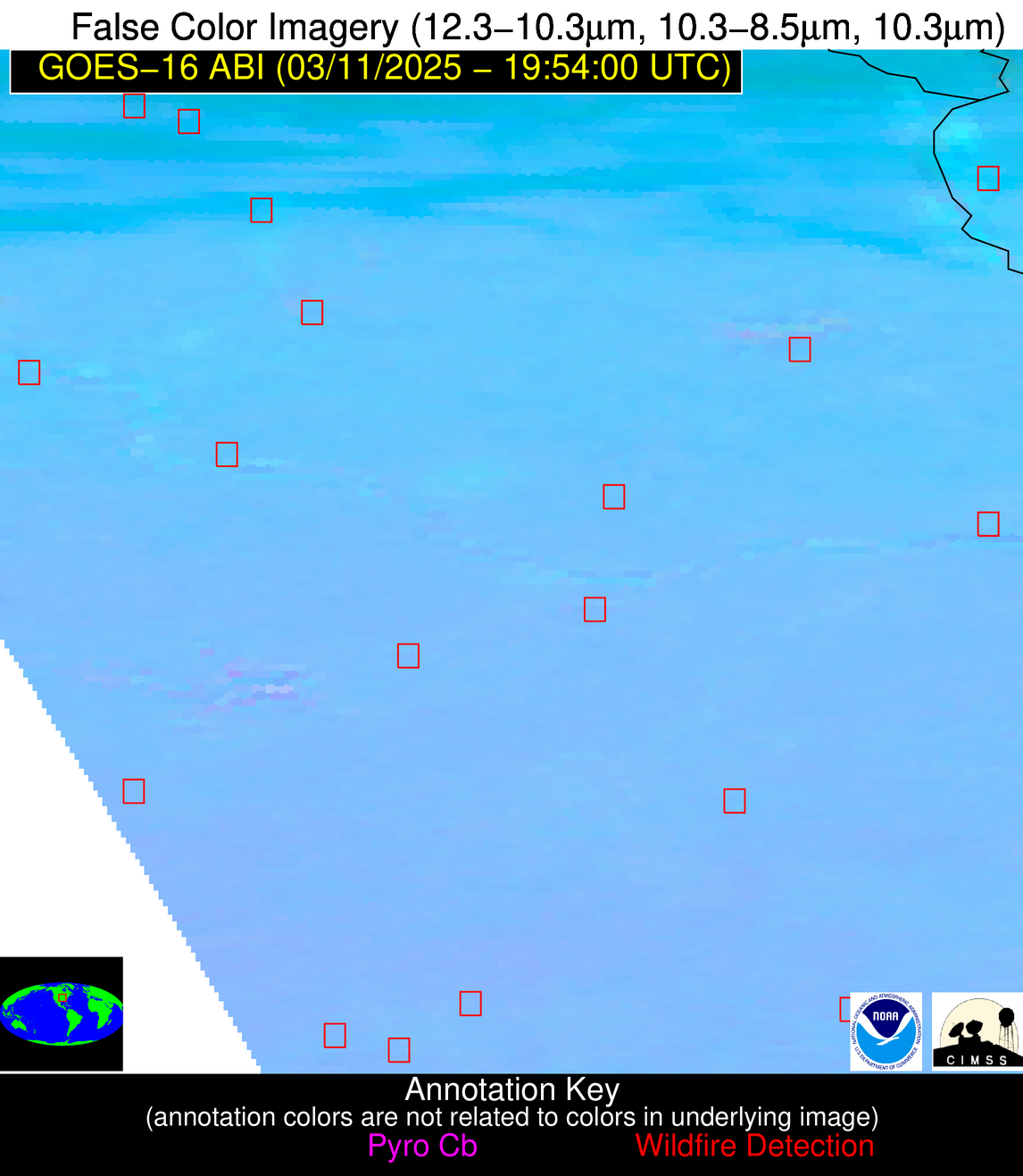
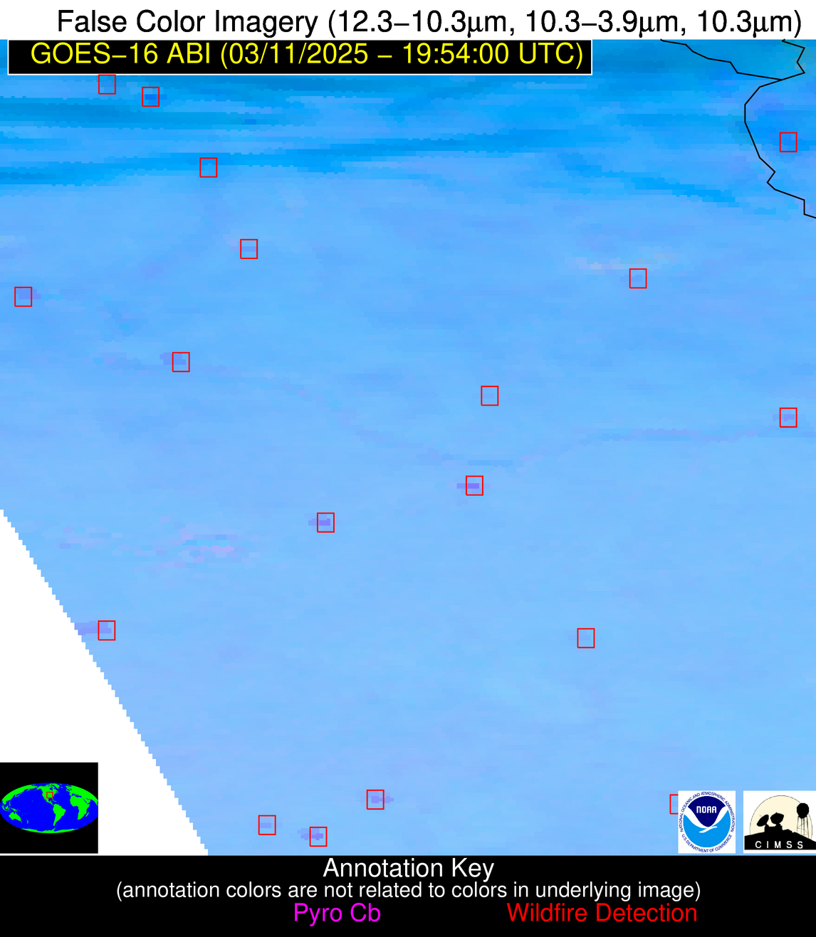
Wildfire Alert Report
| Date: | 2025-03-11 |
|---|---|
| Time: | 19:53:53 |
| Production Date and Time: | 2025-03-11 19:55:25 UTC |
| Primary Instrument: | GOES-16 ABI |
| Wmo Spacecraft Id: | 152 |
| Location/orbit: | GEO |
| L1 File: | OR_ABI-L1b-RadM2-M6C14_G16_s20250701953532_e20250701953590_c20250701954057.nc |
| L1 File(s) - Temporal | OR_ABI-L1b-RadM2-M6C14_G16_s20250701951532_e20250701951590_c20250701952043.nc |
| Number Of Thermal Anomaly Alerts: | 4 |
Possible Wildfire
| Basic Information | |
|---|---|
| State/Province(s) | MO |
| Country/Countries | United States |
| County/Locality(s) | Adair County, MO |
| NWS WFO | Kansas City/Pleasant Hill MO |
| Identification Method | Enhanced Contextual (Cloud) |
| Mean Object Date/Time | 2025-03-11 19:53:54UTC |
| Radiative Center (Lat, Lon): | 40.286945°, -92.833611° |
| Nearby Counties (meeting alert criteria): |
|
| Total Radiative Power Anomaly | n/a |
| Total Radiative Power | 21.64 MW |
| Map: | |
| Additional Information | |
| Alert Status | New Feature |
| Type of Event | Nominal Risk |
| Event Priority Ranking | 4 |
| Maximum Observed BT (3.9 um) | 305.15 K |
| Observed - Background BT (3.9 um) | 6.52 K |
| BT Anomaly (3.9 um) | 7.42 K |
| Maximum Observed - Clear RTM BT (3.9 um) | 18.75 K |
| Maximum Observed BTD (3.9-10/11/12 um) | 18.74 K |
| Observed - Background BTD (3.9-10/11/12 um) | 6.44 K |
| BTD Anomaly (3.9-10/11/12 um) | 5.02 K |
| Similar Pixel Count | 0 |
| BT Time Tendency (3.9 um) | 4.00 K |
| Image Interval | 2.00 minutes |
| Fraction of Surrounding LWIR Pixels that are Colder | 0.65 |
| Fraction of Surrounding Red Channel Pixels that are Brighter | 1.00 |
| Maximum Radiative Power | 21.64 MW |
| Maximum Radiative Power Uncertainty | 0.00 MW |
| Total Radiative Power Uncertainty | 0.00 MW |
| Mean Viewing Angle | 50.20° |
| Mean Solar Zenith Angle | 49.20° |
| Mean Glint Angle | 84.20° |
| Water Fraction | 0.00 |
| Total Pixel Area | 6.30 km2 |
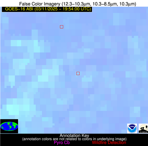
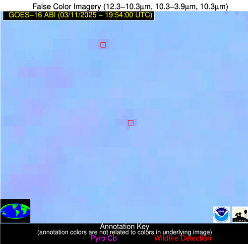
| Latest Satellite Imagery: | |
| View all event imagery » | |
Possible Wildfire
| Basic Information | |
|---|---|
| State/Province(s) | MO |
| Country/Countries | United States |
| County/Locality(s) | Monroe County, MO |
| NWS WFO | St Louis MO |
| Identification Method | Enhanced Contextual (Clear) |
| Mean Object Date/Time | 2025-03-11 19:53:54UTC |
| Radiative Center (Lat, Lon): | 39.430557°, -91.739998° |
| Nearby Counties (meeting alert criteria): |
|
| Total Radiative Power Anomaly | n/a |
| Total Radiative Power | 5.80 MW |
| Map: | |
| Additional Information | |
| Alert Status | New Feature |
| Type of Event | Nominal Risk |
| Event Priority Ranking | 4 |
| Maximum Observed BT (3.9 um) | 305.15 K |
| Observed - Background BT (3.9 um) | 2.37 K |
| BT Anomaly (3.9 um) | 2.53 K |
| Maximum Observed - Clear RTM BT (3.9 um) | 14.73 K |
| Maximum Observed BTD (3.9-10/11/12 um) | 9.62 K |
| Observed - Background BTD (3.9-10/11/12 um) | 1.77 K |
| BTD Anomaly (3.9-10/11/12 um) | 3.80 K |
| Similar Pixel Count | 21 |
| BT Time Tendency (3.9 um) | 0.80 K |
| Image Interval | 2.00 minutes |
| Fraction of Surrounding LWIR Pixels that are Colder | 0.84 |
| Fraction of Surrounding Red Channel Pixels that are Brighter | 0.95 |
| Maximum Radiative Power | 5.80 MW |
| Maximum Radiative Power Uncertainty | 0.00 MW |
| Total Radiative Power Uncertainty | 0.00 MW |
| Mean Viewing Angle | 49.00° |
| Mean Solar Zenith Angle | 48.90° |
| Mean Glint Angle | 82.70° |
| Water Fraction | 0.00 |
| Total Pixel Area | 6.10 km2 |
| Latest Satellite Imagery: | |
| View all event imagery » | |
Possible Wildfire
| Basic Information | |
|---|---|
| State/Province(s) | MO |
| Country/Countries | United States |
| County/Locality(s) | Shannon County, MO |
| NWS WFO | Springfield MO |
| Identification Method | Enhanced Contextual (Clear) |
| Mean Object Date/Time | 2025-03-11 19:53:57UTC |
| Radiative Center (Lat, Lon): | 36.951668°, -91.649170° |
| Nearby Counties (meeting alert criteria): |
|
| Total Radiative Power Anomaly | n/a |
| Total Radiative Power | 8.05 MW |
| Map: | |
| Additional Information | |
| Alert Status | New Feature |
| Type of Event | Nominal Risk |
| Event Priority Ranking | 4 |
| Maximum Observed BT (3.9 um) | 307.51 K |
| Observed - Background BT (3.9 um) | 2.01 K |
| BT Anomaly (3.9 um) | 4.28 K |
| Maximum Observed - Clear RTM BT (3.9 um) | 17.56 K |
| Maximum Observed BTD (3.9-10/11/12 um) | 7.71 K |
| Observed - Background BTD (3.9-10/11/12 um) | 2.44 K |
| BTD Anomaly (3.9-10/11/12 um) | 8.42 K |
| Similar Pixel Count | 25 |
| BT Time Tendency (3.9 um) | 0.70 K |
| Image Interval | 2.00 minutes |
| Fraction of Surrounding LWIR Pixels that are Colder | 0.47 |
| Fraction of Surrounding Red Channel Pixels that are Brighter | 1.00 |
| Maximum Radiative Power | 8.05 MW |
| Maximum Radiative Power Uncertainty | 0.00 MW |
| Total Radiative Power Uncertainty | 0.00 MW |
| Mean Viewing Angle | 46.40° |
| Mean Solar Zenith Angle | 46.90° |
| Mean Glint Angle | 78.00° |
| Water Fraction | 0.00 |
| Total Pixel Area | 5.80 km2 |
| Latest Satellite Imagery: | |
| View all event imagery » | |
Possible Wildfire
| Basic Information | |
|---|---|
| State/Province(s) | GA |
| Country/Countries | United States |
| County/Locality(s) | Mitchell County, GA |
| NWS WFO | Tallahassee FL |
| Identification Method | Enhanced Contextual (Clear) |
| Mean Object Date/Time | 2025-03-11 19:53:58UTC |
| Radiative Center (Lat, Lon): | 31.259722°, -84.169724° |
| Nearby Counties (meeting alert criteria): |
|
| Total Radiative Power Anomaly | n/a |
| Total Radiative Power | 9.21 MW |
| Map: | |
| Additional Information | |
| Alert Status | New Feature |
| Type of Event | Nominal Risk |
| Event Priority Ranking | 4 |
| Maximum Observed BT (3.9 um) | 302.51 K |
| Observed - Background BT (3.9 um) | 3.15 K |
| BT Anomaly (3.9 um) | 3.41 K |
| Maximum Observed - Clear RTM BT (3.9 um) | 12.15 K |
| Maximum Observed BTD (3.9-10/11/12 um) | 7.64 K |
| Observed - Background BTD (3.9-10/11/12 um) | 3.26 K |
| BTD Anomaly (3.9-10/11/12 um) | 6.91 K |
| Similar Pixel Count | 4 |
| BT Time Tendency (3.9 um) | 1.10 K |
| Image Interval | 2.00 minutes |
| Fraction of Surrounding LWIR Pixels that are Colder | 0.53 |
| Fraction of Surrounding Red Channel Pixels that are Brighter | 0.81 |
| Maximum Radiative Power | 9.21 MW |
| Maximum Radiative Power Uncertainty | 0.00 MW |
| Total Radiative Power Uncertainty | 0.00 MW |
| Mean Viewing Angle | 37.80° |
| Mean Solar Zenith Angle | 46.60° |
| Mean Glint Angle | 70.10° |
| Water Fraction | 0.00 |
| Total Pixel Area | 5.10 km2 |
| Latest Satellite Imagery: | |
| View all event imagery » | |


